
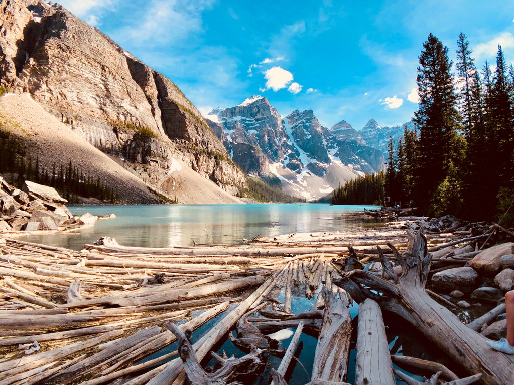
Place
Challenging
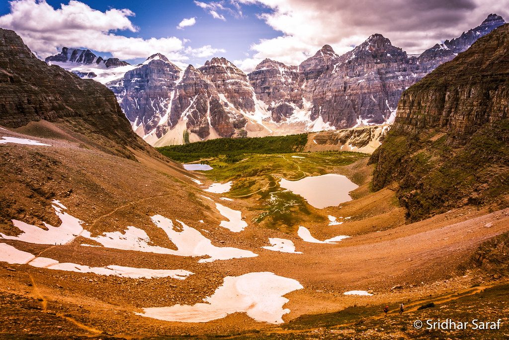
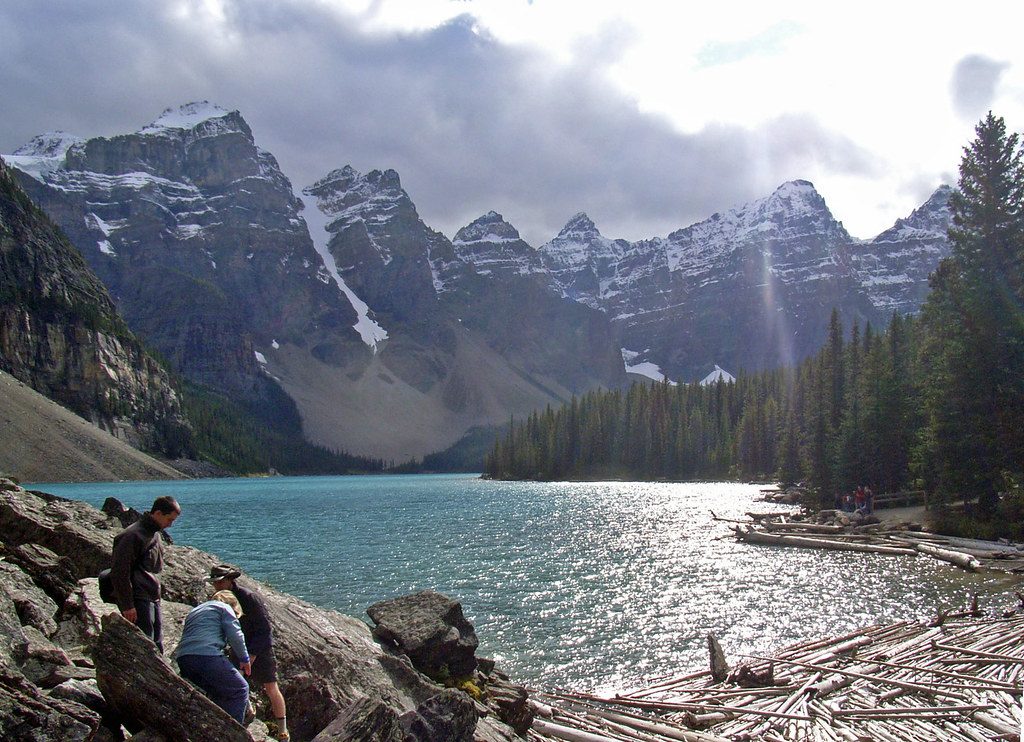
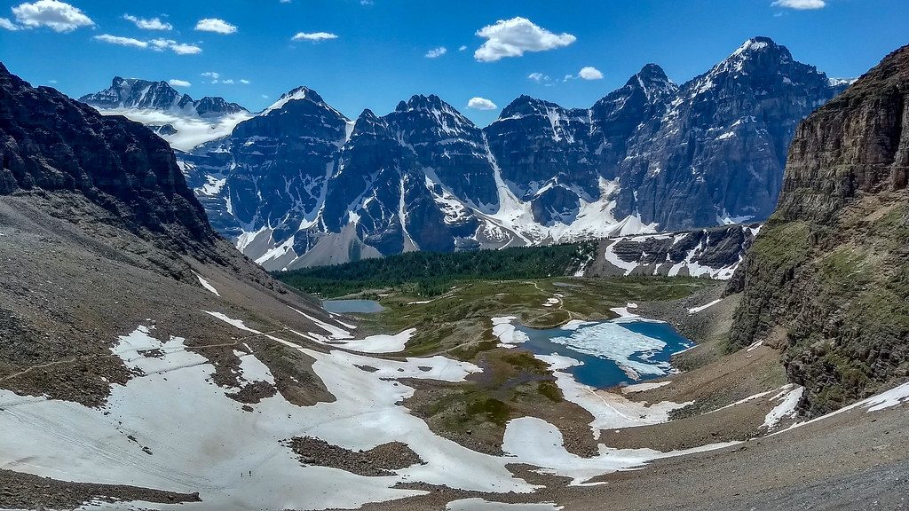
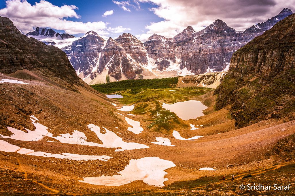
South Molar Pass delivers the classic Banff high-alpine package: broad larch and wildflower meadows above treeline, craggy peaks on all sides, and that windswept, far‑from‑the‑road quiet. Expect sweeping views toward the Dolomite Range, distinctive pinnacles on Molarstone Mountain, and a lush approach valley that gives way to open tundra near the pass. Hoary marmots are regulars up high—keep your snacks (and straps) secured.
Route and stats: The standard hike is an out‑and‑back to the pass from the Mosquito Creek side: about 19.6 km / 12.2 miles total with roughly 560 m of gain. Plan on 7–8 hours for most hikers. The path starts in subalpine forest, transitions through larch meadows, then climbs steadily on rocky singletrack to the pass. Expect dirt, roots, some rocky sections, and occasional small creek crossings.
Is it worth it? Yes—if you like big alpine country and don’t mind a long day. It’s less groomed than the park’s marquee day hikes, which helps with solitude. For an even bigger experience, strong navigators sometimes link South and North Molar Pass via a ridge highline (off‑trail with easy/moderate scrambling and real route‑finding). Otherwise, stick to the signed trail and enjoy side time at nearby tarns (like Mosquito Tarn) or build a multi‑day with Fish Lakes.
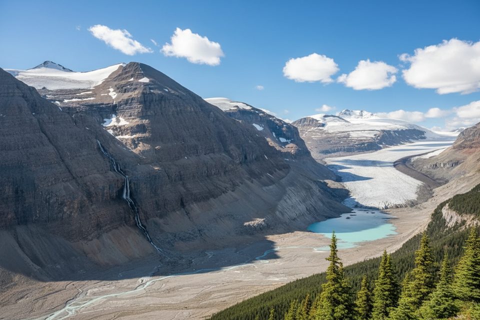
Geology and what to look for: This landscape is all uplifted dolomite and limestone sculpted by ice—U‑shaped valleys, moraines, and hanging tarns. Watch for the “layer‑cake” look of nearby peaks and the sharp rock spires on Molarstone’s east slopes.
Permits and logistics: A valid Banff National Park pass is required for day use. Backcountry camping (e.g., Fish Lakes or Mosquito Creek) requires a Parks Canada backcountry permit and reservation. Dogs are allowed on leash.
Best time to hike: The reliable window is mid‑July through September. Earlier (late June) can still hold snow on the pass and be muddy; larches light up in fall. Go early in the day for calmer winds and softer light. Smoke can drift in late summer during wildfire years, and the alpine is fully exposed to fast‑changing weather—pack layers and a real map/GPS.
Guide’s take: If you want big meadows without the zoo, this is a great call. If you’re chasing a ridge traverse between the passes, bring navigation chops and a conservative mindset. Prefer a more straightforward, equally scenic day? Keep it out‑and‑back to the pass or explore North Molar Pass instead.
Small pullout just south of Mosquito Creek Campground on the Icefields Parkway (Hwy 93N), about 24 km north of the Lake Louise junction.
Remote alpine terrain with fast‑changing weather; lingering snow and mud in the shoulder season; faint or no trail if attempting the ridge highline; secure gear from marmots.
Place
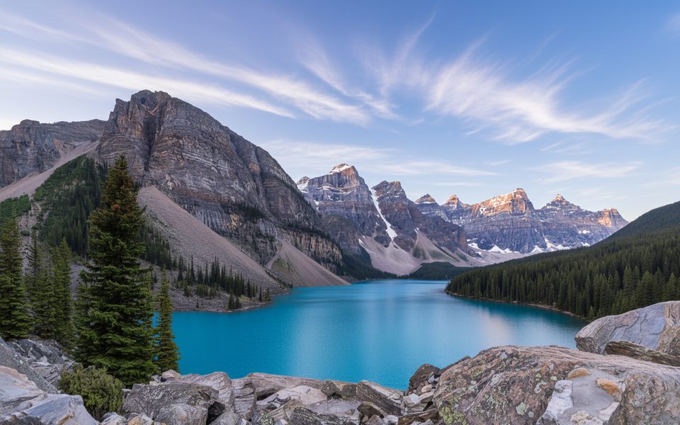
Place
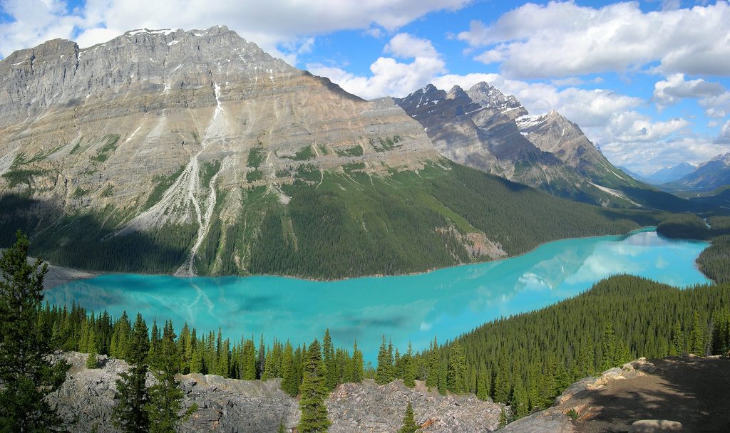
Place
Place
Easy
Challenging
Challenging
Moderate

Parkwolf Tour Guide
