Parking
Park at the Lake Minnewanka day-use area; the kiosk at the far end of the picnic area is the primary trailhead. The area has picnic facilities, washrooms, and summer ROAM Route 6 service. Arrive early on busy days.
Banff National Park, AB
Lake stroll to a mossy canyon and classic bridge views
Overview
Stewart Canyon is an easy, high-reward outing from Lake Minnewanka. The route follows the lake and Cascade River through forest to a bridge spanning the walls of Stewart Canyon, with turquoise water, mossy forest, and mountain scenery along the way.
 Parkwolf’s verdictWhy hike it
Map & elevation
Plan your hike

The highest, rockiest slopes around here are a summer buffet for grizzly bears.
Banff Tour Guide
Parkwolf is a GPS audio tour guide for Banff National Park. As you drive, it chimes in with what’s ahead: hidden gems, upcoming stops, history, geology, and wildlife, right through your car’s speakers.
Recorded for this area
Lake Minnewanka: A Submerged Town and Bighorn Sheep“The huge body of water coming into view is Lake Minnewanka, the biggest lake in the park.”
Plays on the road 2.4 km from the trailhead in the Parkwolf Banff Tour Guide.
More stories near here in the app
“…Loved the commentary as you drove thru. I’m sure the app can do more than I know but the tips were very helpful. I’m gonna use it when we go to Banff next month.”


Trail guide
Start at the kiosk at the far end of the Lake Minnewanka day-use area and follow the paved approach before joining the natural trail along the shoreline. The route then enters forest and reaches Stewart Canyon Bridge over the Cascade River. The stored line follows the physical corridor once from the trailhead to the bridge; visitors return by the same route. Plan on about 3.2 km/2.0 miles round trip and roughly 1 hour for the bridge outing. The Minnewanka Trail continues beyond the bridge, but that longer continuation is a separate outing and is not included in this route.
Look for Lake Minnewanka views, the Cascade River, polished canyon walls, mossy forest floor, and seasonal wildflowers. Bald eagles and other birds may be seen around the lake and river. The bridge is the signature viewpoint and was featured in the film “River of No Return.”
The approach is paved, then becomes firm natural trail with roots, rocks, and some partially exposed sections near the canyon. Stay on the established route and keep back from unstable banks and edges. Carry bear spray, keep dogs leashed and under control, and check Parks Canada for seasonal wildlife restrictions before departing.
This is a family-friendly walk with a quick payoff: a lakeshore stroll, a quiet forest section, and classic Cascade River and Stewart Canyon bridge views.
Wildlife
 122 sightingsGrizzly BearMost seen around 6 AMSighting map
 150 sightingsBrown BearMost seen around 6 PMSighting map
 44 sightingsGray WolfMost seen around 6 AMSighting map
 12 sightingsRiver OtterMost seen around 8 PMSighting map
 67 sightingsMooseMost seen around 8 PMSighting map
 465 sightingsBlack BearMost seen around 9 PMSighting map
Sighting maps show where each species has been reported across Banff. Wildlife moves, so no sighting is guaranteed.
Keep exploring
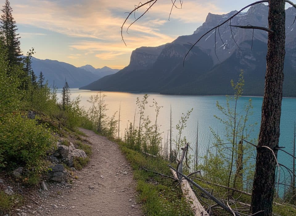 ChallengingLake Minnewanka Trail59.7 km · 18 hr · 2.5 km awayA demanding 30-km lakeshore approach from Lake Minnewanka to Devil’s Gap.
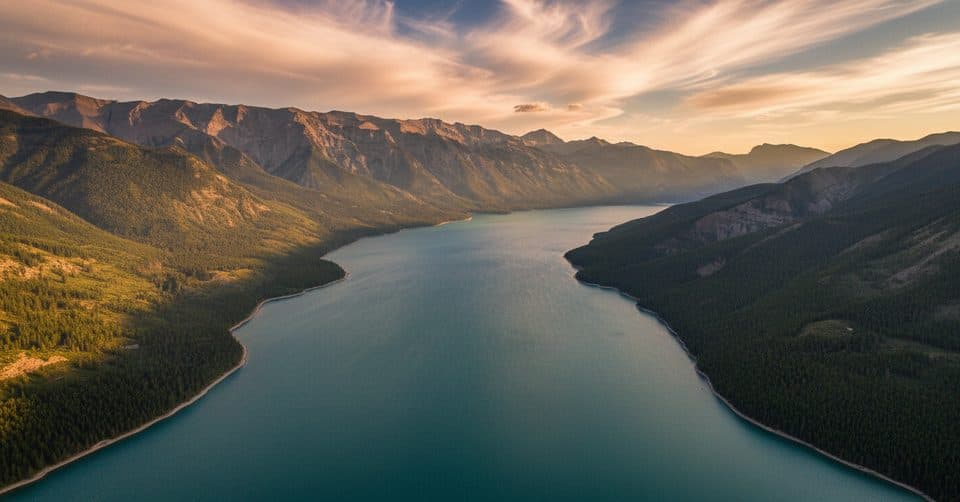 ChallengingDevil's Gap via Lake Minnewanka59.7 km · 18 hr · 2.5 km awayA demanding 30-km lakeshore approach from Lake Minnewanka to Devil’s Gap.
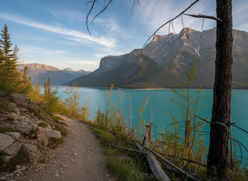 EasyMinnewanka Trail15.3 km · 4.5 hr · 2.5 km awayRolling Lake Minnewanka shoreline walk to the Aylmer Pass junction
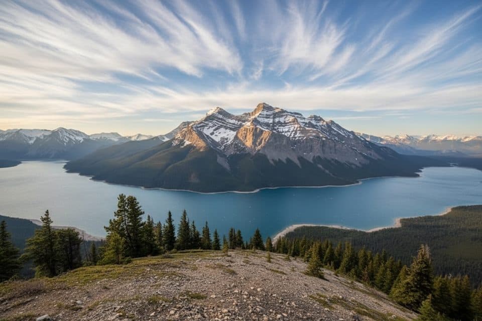 ChallengingAylmer Lookout Trail23.5 km · 8 hr · 2.5 km awayA full-day climb from Lake Minnewanka to a sweeping high-country lookout
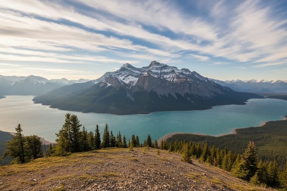 ChallengingAylmer Pass Trail26.2 km · 8.5 hr · 2.5 km awayA long Lake Minnewanka shoreline approach climbs to wild alpine Aylmer Pass.
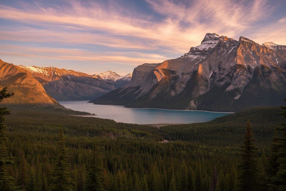 ModerateC-Level Cirque7.6 km · 3 hr · 3.9 km awaySteep forest climb to a dramatic cirque with big Lake Minnewanka views
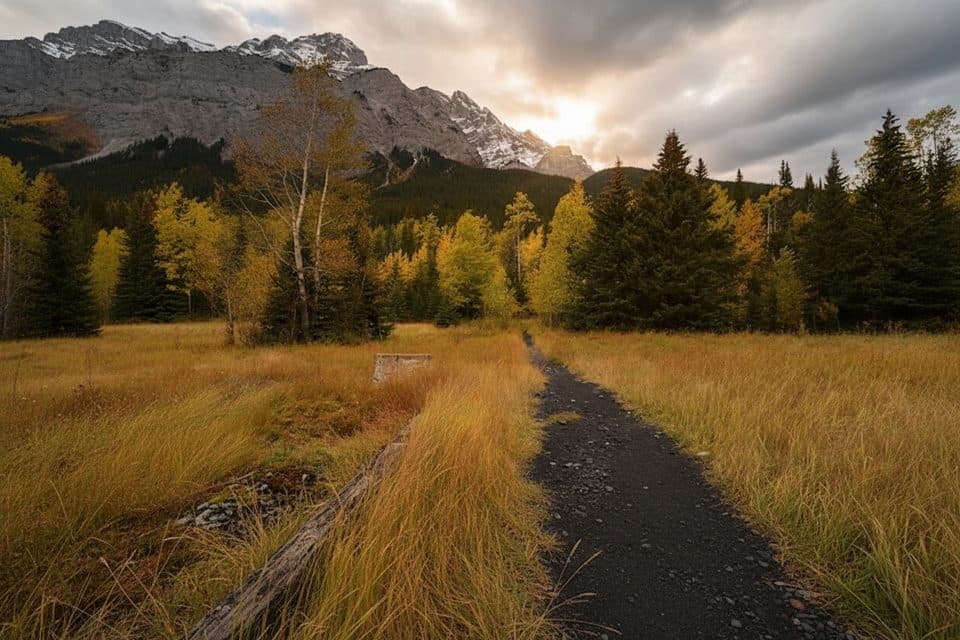 EasyLower Bankhead Interpretive Trail1.1 km · 30 min · 4.3 km awayGhost town loop through coal mine ruins with Cascade Mountain viewsEasyTwo Jack Lake Trail3.4 km · 1.3 hr · 4.4 km awayEasy out-and-back along Two Jack Lake to the Lakeside Campground
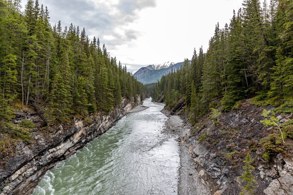 Sight · 0.1 km awayStewart CanyonShort walk to a dramatic river canyon and bridge views
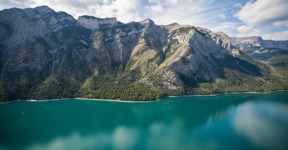 Sight · 2.3 km awayLake Minnewanka ViewpointDrive-up panoramas of the largest lake and rugged peaks
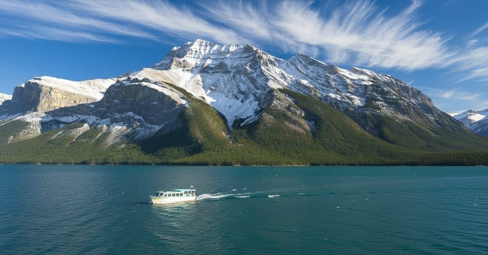 Sight · 2.6 km awayLake Minnewanka CruiseCruise to Devils Gap with tales of a submerged town
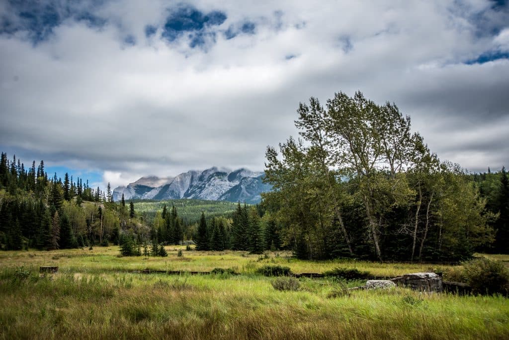 Sight · 4.3 km awaySite of Bankhead TownA compact, evocative ghost town walk with rich mining history
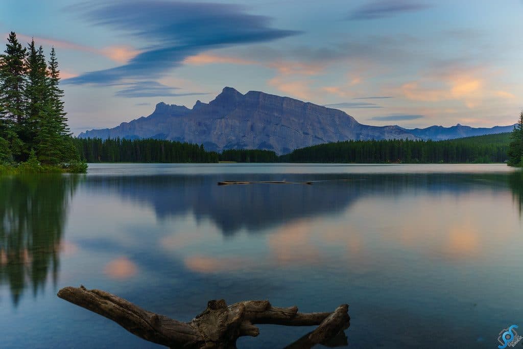 Sight · 4.7 km awayTwo Jack LakeSerene Rundle reflections, easy paddling, and lakeside picnics
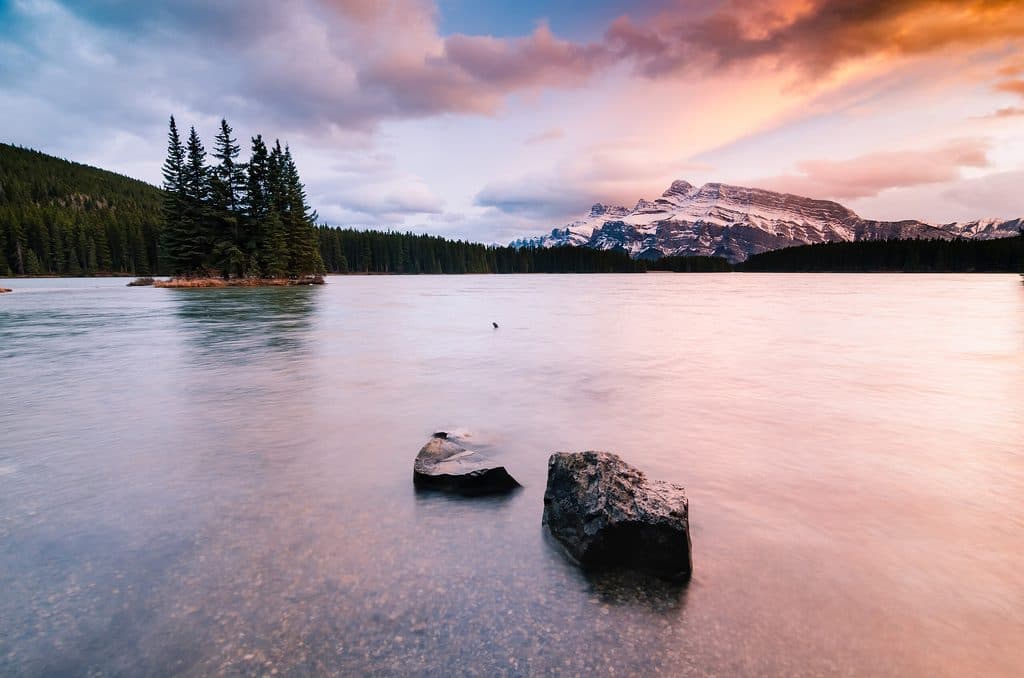 Campground · 4.7 km awayTwo Jack MainForested, no-frills basecamp minutes from Two Jack Lake and Minnewanka
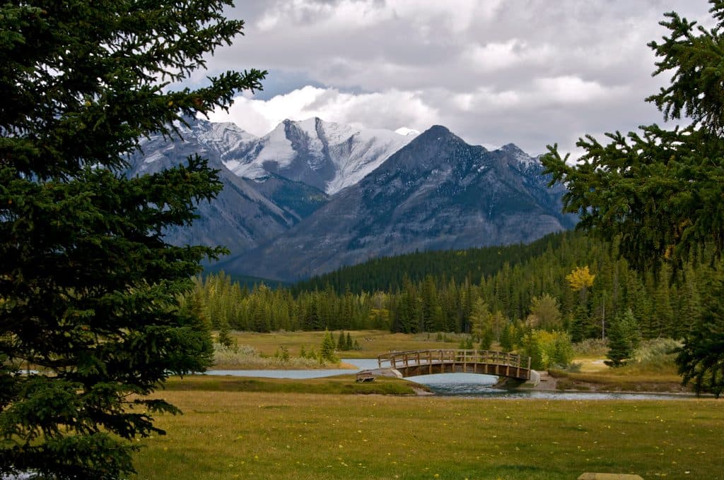 Picnic area · 5.7 km awayCascade PondsEasy picnic ponds with bridges and big Cascade Mountain views
 Sight · 5.8 km awayAylmer LookoutBanff’s big Lake Minnewanka panorama after a long, rewarding grind
Parkwolf’s Banff ranking
The audio tour guide for the drive, plus offline maps, trails, and wildlife heatmaps for when the signal drops.





