Banff National Park, AB

Stoney Lookout Trail

Short forest loop to big Banff and Cascade Mountain views

Length
4.4km
Time
1.5hr
Elev. change
219m
Difficulty
Moderate
  • Dogs allowed
  • High point 1,902 m

Hear the audio tour

Forty Mile Creek Trailhead for Backcountry Hiking

Overview

About Stoney Lookout Trail

Why go

  • Close-to-town panorama with minimal time commitment
  • Year-round option when packed; traction helps in winter
  • Loop route through forest to a Cascade Mountain viewpoint

Heads up

  • Forest covers views for much of the loop
  • Rocky, rooted, and sometimes slippery sections
  • Popular with mountain bikers; no washrooms or drinking water at the access
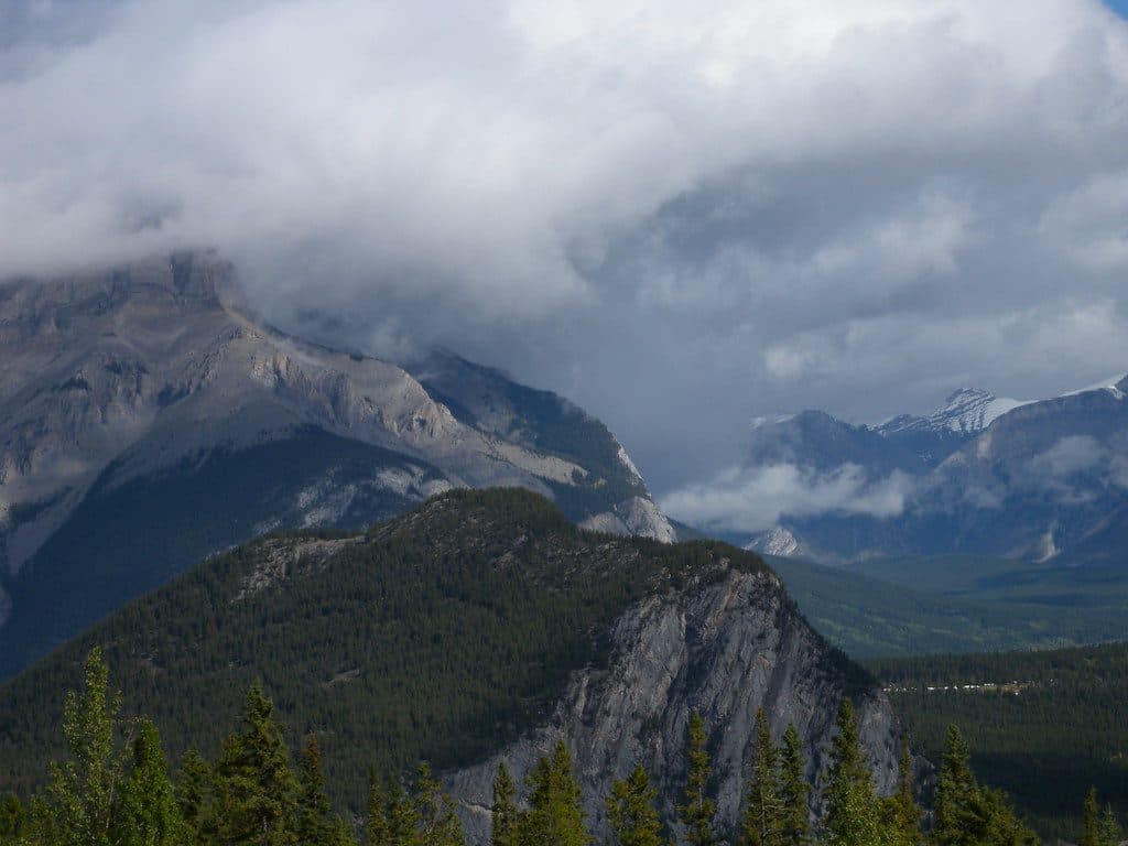
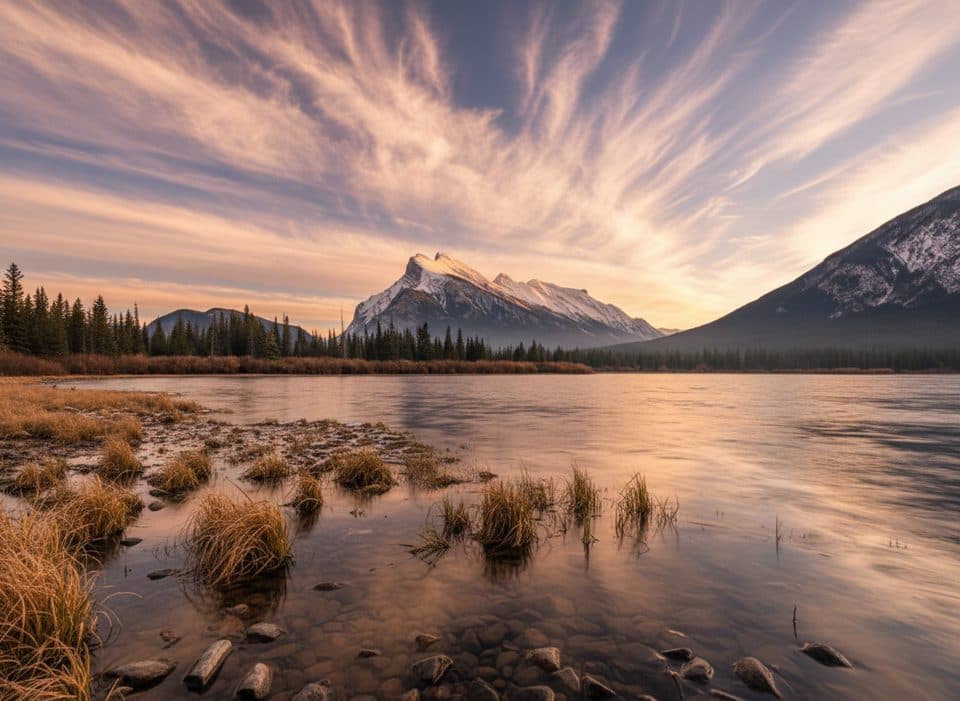
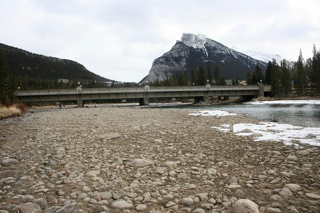
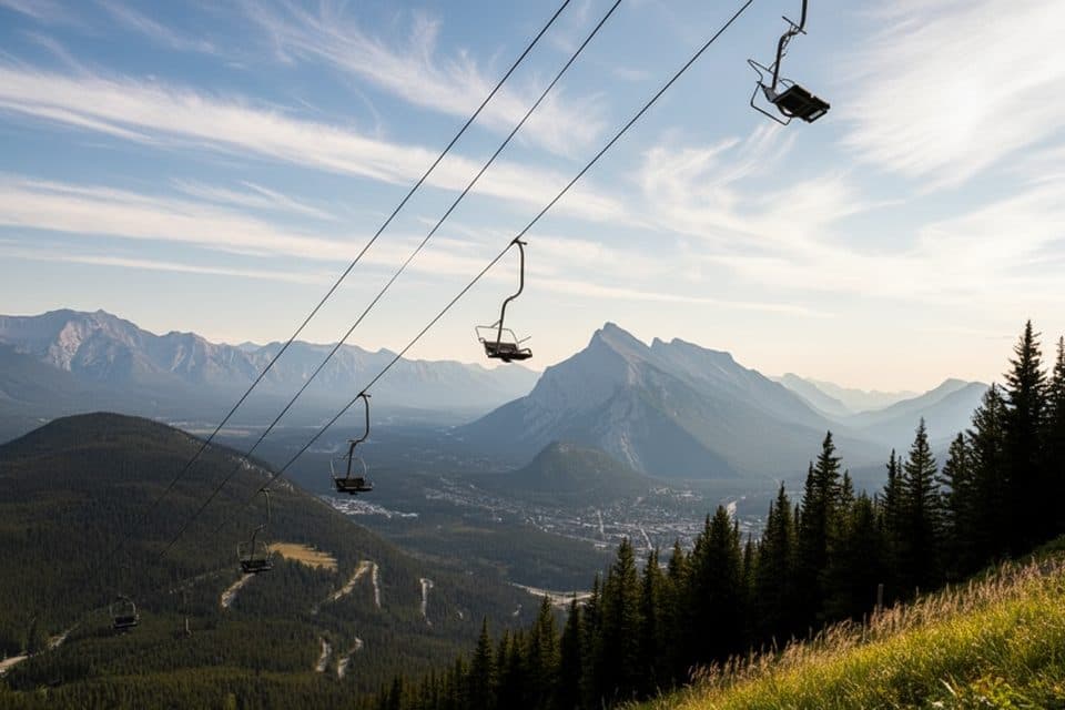
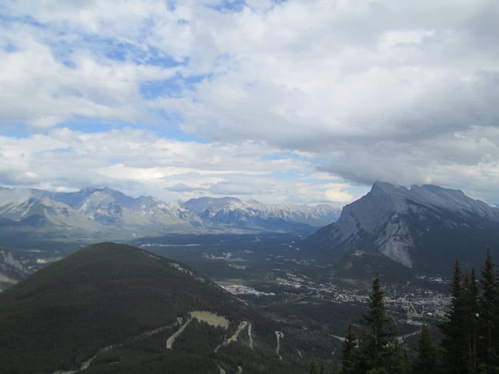
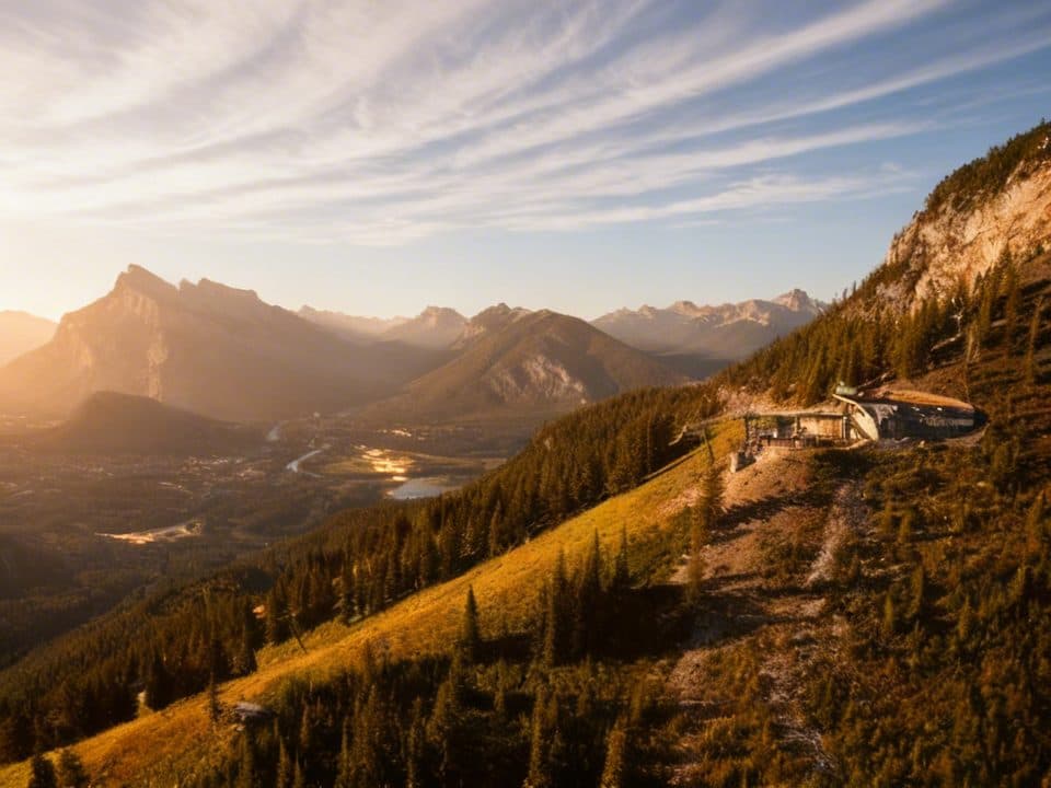
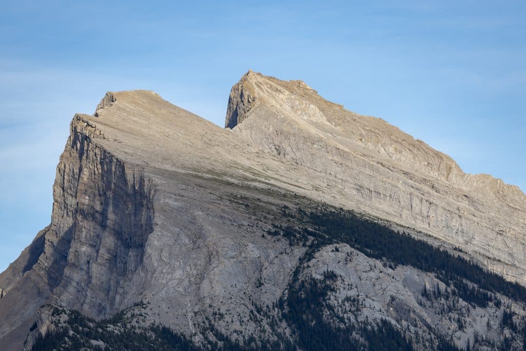
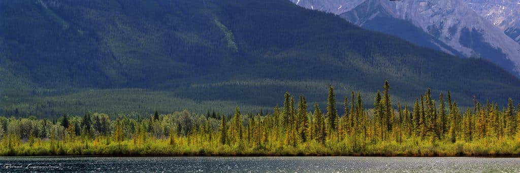
A quick-hit loop with outsized rewards, Stoney Lookout climbs through dense spruce and lodgepole pine to a rocky promontory overlooking Banff, the Bow Valley, Vermilion Lakes, and the dramatic face of Cascade Mountain. It is close to town and delivers classic Rockies scenery without a big time or energy commitment.
Parkwolf’s verdictWhy go

Map & elevation

The route

Loading the Banff map
Full map
Elevation1,683–1,902 m
TrailheadStoney Lookout Trailhead51.20075, -115.59563
Keep this map with you offline in the Parkwolf app

Plan your hike

Before you go

Parking

Use the limited unlined gravel parking at the Mount Norquay Ski Area. The trail kiosk is at the south end of the parking area; if the ski area is operating, park only in the signed area behind the barricades near the start of Stoney Trail. There are no washrooms or drinking-water facilities at the trail access.

Best time to go

Hike it spring through fall for drier footing and clear views. In winter, traction devices are useful on packed snow and ice; check park access and trail conditions before departing. The route is also popular with mountain bikers, so stay alert and yield appropriately.

Safety

Narrow, twisty, rocky singletrack with roots and short steeper pitches can be slippery after rain, snow, or ice. Stay alert for mountain bikers, supervise children near uneven or drop-off sections, carry traction in winter, and check Parks Canada access and trail conditions before departing.

8 active Banff alerts

  • ClosureRed Deer River valley closed during ceremonial bison harvestThe Red Deer River valley bottom is closed to the public during an Indigenous ceremonial bison hunt taking place through November, for public safety during the harvest.Official details
  • ClosureJohnston Canyon closed for constructionJohnston Canyon Trail and Day Use Area, including the washrooms and P1 parking lot, are closed to all traffic and travel through December 11, 2026, for construction work to ensure public and worker…Official details
See all 8 alerts
A park ranger sits on a dash-mounted phone, talking, as Parkwolf’s Tour Guide plays “Army Cutworm Moths: A Grizzly Bear Buffet” on Grand Loop Road below Dunraven Pass in Yellowstone
Parkwolf Tour GuideThe highest, rockiest slopes around here are a summer buffet for grizzly bears.

Banff Tour Guide

Your drive to Stoney Lookout Trail, narrated.

Parkwolf is a GPS audio tour guide for Banff National Park. As you drive, it chimes in with what’s ahead: hidden gems, upcoming stops, history, geology, and wildlife, right through your car’s speakers.

Recorded for this area

Forty Mile Creek Trailhead for Backcountry Hiking
Listen
“You're nearing the trailhead for the Forty Mile Creek trail. This isn't a short, casual walk—it's a major access point for multi-day backcountry trips.”

Plays on the road 0.4 km from the trailhead in the Parkwolf Banff Tour Guide.

More stories near here in the app

  • Clipping In at Mount Norquay: Banff’s Via Ferrata
  • Mount Norquay's Roadside Viewpoints
  • Vermilion Lakes: Reflections and Wildlife
  • Banff Welcome Sign and Fenland Trail
  • 178 audio storiesacross Banff’s roads, triggered by GPS as you drive
  • Wildlife heatmapsfor Grizzly Bear, Brown Bear, Gray Wolf, and 13 more
  • Works offlinemaps, 177 trails, 236 places, and audio download before you lose signal
  • CarPlay readysimple controls built for the drive
★★★★★
“…Loved the commentary as you drove thru. I’m sure the app can do more than I know but the tips were very helpful. I’m gonna use it when we go to Banff next month.”
tesja22App Store review
Download Parkwolf on the App StoreGet Parkwolf on Google Play

4.7 from 8,600+ ratings

Trail guide

Hiking Stoney Lookout Trail

Trail snapshotThis is a 4.4 km (about 2.7 mile) loop with roughly 210 m of elevation gain.

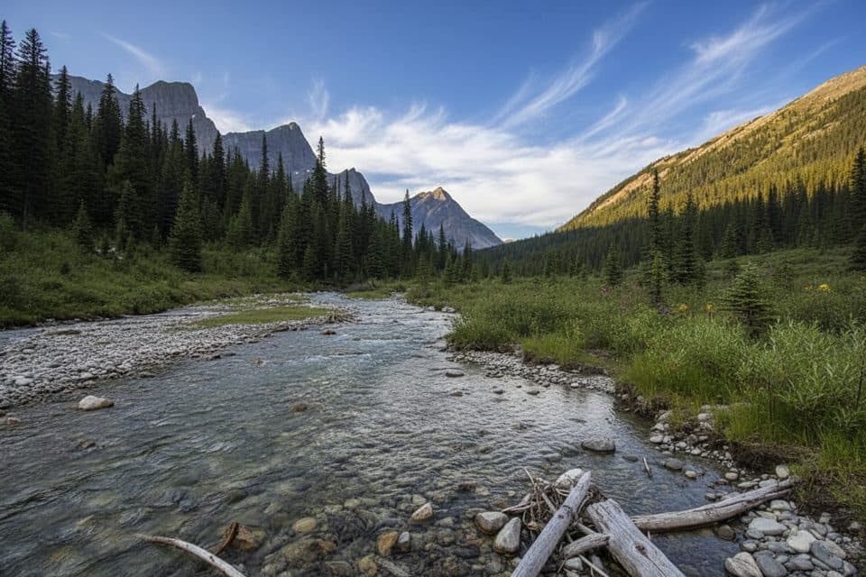
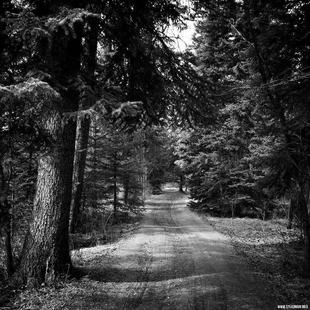
This is a 4.4 km (about 2.7 mile) loop with roughly 210 m of elevation gain. Parks Canada estimates about 1.5 hours. Expect narrow, twisty, rocky singletrack with dirt, roots, and short steeper sections through lodgepole pine and spruce. The route loops back down north, connecting with the old ski runs above the Mount Norquay day lodge.

What you’ll seeBetween shaded stretches of moss- and lichen-carpeted rock, you’ll get peek-a-boo openings…

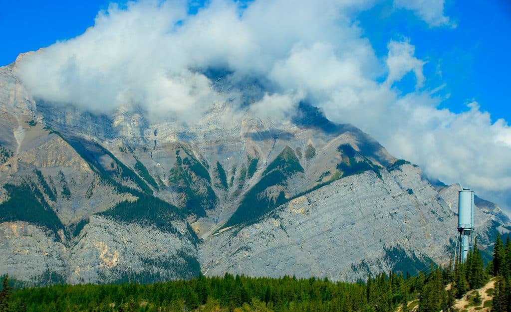
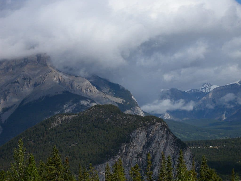
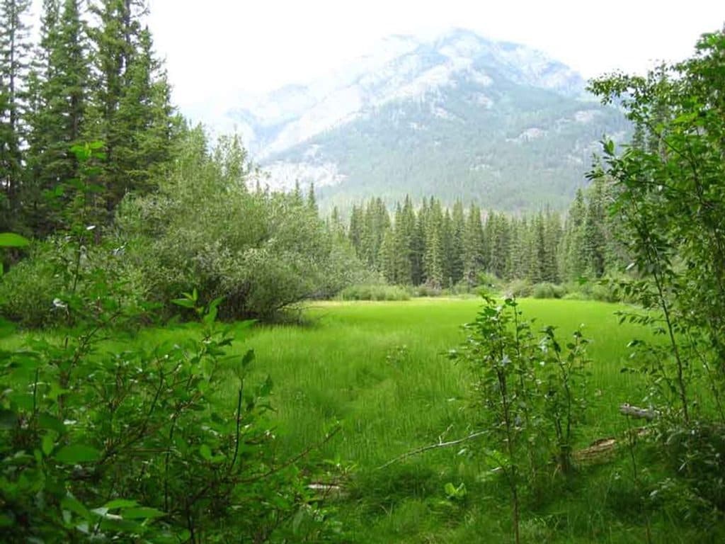
Between shaded stretches of moss- and lichen-carpeted rock, you’ll get peek-a-boo openings toward Banff and Vermilion Lakes, then the main viewpoint where Cascade Mountain steals the show. It is a great introduction to the glacially carved landscape—ravines, exposed bedrock, and forest succession are all on display.

Route tipsStart at the kiosk at the south end of the Mount Norquay Ski Area parking area, near the signed…

Start at the kiosk at the south end of the Mount Norquay Ski Area parking area, near the signed access into the forest. Follow the marked circuit to the Stoney Lookout, then continue on the north return above the day lodge. The line is a loop trail, but the two mapped ends are separated by the parking-area access; return through the lot to the kiosk after finishing.

Heads-upExpect roots, rocky footing, narrow twisty sections, and short steeper pitches that can be…

Expect roots, rocky footing, narrow twisty sections, and short steeper pitches that can be slippery after rain, snow, or ice. Supervise children near uneven or drop-off sections. There are no washrooms or drinking-water facilities at the trail access, so carry what you need. Standard Banff National Park rules apply.

Is it worth it?Yes—especially if you want classic Banff-and-Cascade views for a modest effort.

Yes—especially if you want classic Banff-and-Cascade views for a modest effort. You are in the trees much of the way, but the lookout provides the main payoff, and the short loop works well for a close-to-town outing.

Wildlife

Wildlife in Banff

All Banff wildlife maps

Sighting maps show where each species has been reported across Banff. Wildlife moves, so no sighting is guaranteed.

Keep exploring

Near Stoney Lookout Trail

See it all on the map

Trails that start nearby

Places near the trailhead

Parkwolf’s Banff ranking

Top-rated trails in Banff

All 177 trails
  1. 1Moraine Lake RockpileEasy · 0.8 km
  2. 2Larch Valley and Sentinel PassChallenging · 11.1 km
  3. 3Sentinel PassChallenging · 11.3 km
  4. 4Parker Ridge TrailEasy · 5.5 km
  5. 5Big Beehive TrailModerate · 10.5 km
  6. 6Sunshine Meadows LoopModerate · 11.9 km

Take Parkwolf to Banff.

The audio tour guide for the drive, plus offline maps, trails, and wildlife heatmaps for when the signal drops.

4.7 from 8,600+ ratings

Download Parkwolf on the App StoreGet Parkwolf on Google Play