
Place
Moderate
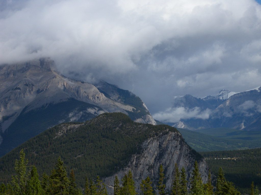
Looking for a quick, close-to-town leg-stretcher that trades alpine drama for quiet forest vibes? Stoney Squaw is a 2.8-mile (4.5 km) loop with roughly 230–260 m of gain. It’s an easy-to-moderate grind through cool, dense evergreens, more about mossy trees and solitude than blockbuster views. Expect a steady climb, some roots and rocks, and a peaceful feel right above Banff.
This is a forest-first hike: firs and other evergreens, soft moss underfoot, and occasional rocky outcrops. Views are limited and mostly framed through trees; the summit area (about 1,868 m) is treed-in. The best glimpses are of Cascade Mountain’s south face and down the Bow Valley, plus occasional peeks toward Sulphur Mountain. Geologically, you’re on a rounded, forested shoulder in the Vermilion Range—a rocky ridge that extends from Mount Norquay rather than a stand-alone crag.
Start from the Mount Norquay ski area’s main parking lot at the top of Mount Norquay Road (look for the signed trail at the lot’s south/southeast end). The loop climbs steadily, with a notable hairpin turn near the top and a few side paths that can confuse—stay on the main trail and watch for signage. Most hikers take 1.5–2 hours at a casual pace. There are no toilets or water at the trailhead, so come prepared.
Late spring through early fall (May–October) is prime. The forest canopy makes this a good option in mixed weather and on hot afternoons, but save it for a clear day if you care about those peekaboo views. Mosquitoes can be pesky in mid-summer—especially late July evenings—so bring repellent or go earlier in the day.
The current name comes from an 1892 story about a brave Assiniboine woman hunting here to feed her sick husband. Parks Canada is working with Indigenous partners to rename the mountain, as the existing name is considered derogatory.
Yes—if you want a low-key, shaded workout steps from Banff and don’t mind limited vistas. If sweeping panoramas are the goal, choose a different nearby trail with open viewpoints or add the chairlift after your hike.
Park at the Mount Norquay ski area’s main lot at the top of Mount Norquay Road; the signed trail starts near the south/southeast end of the parking area.
Expect rooty, rocky sections that can be slick after rain; minor side trails near the summit can be confusing—watch for the signed hairpin and stay on the main path. Bring bug spray in summer and carry bear spray.
Place
Place
Place
Place
Easy
Challenging
Challenging
Moderate

Parkwolf Tour Guide
