Parking
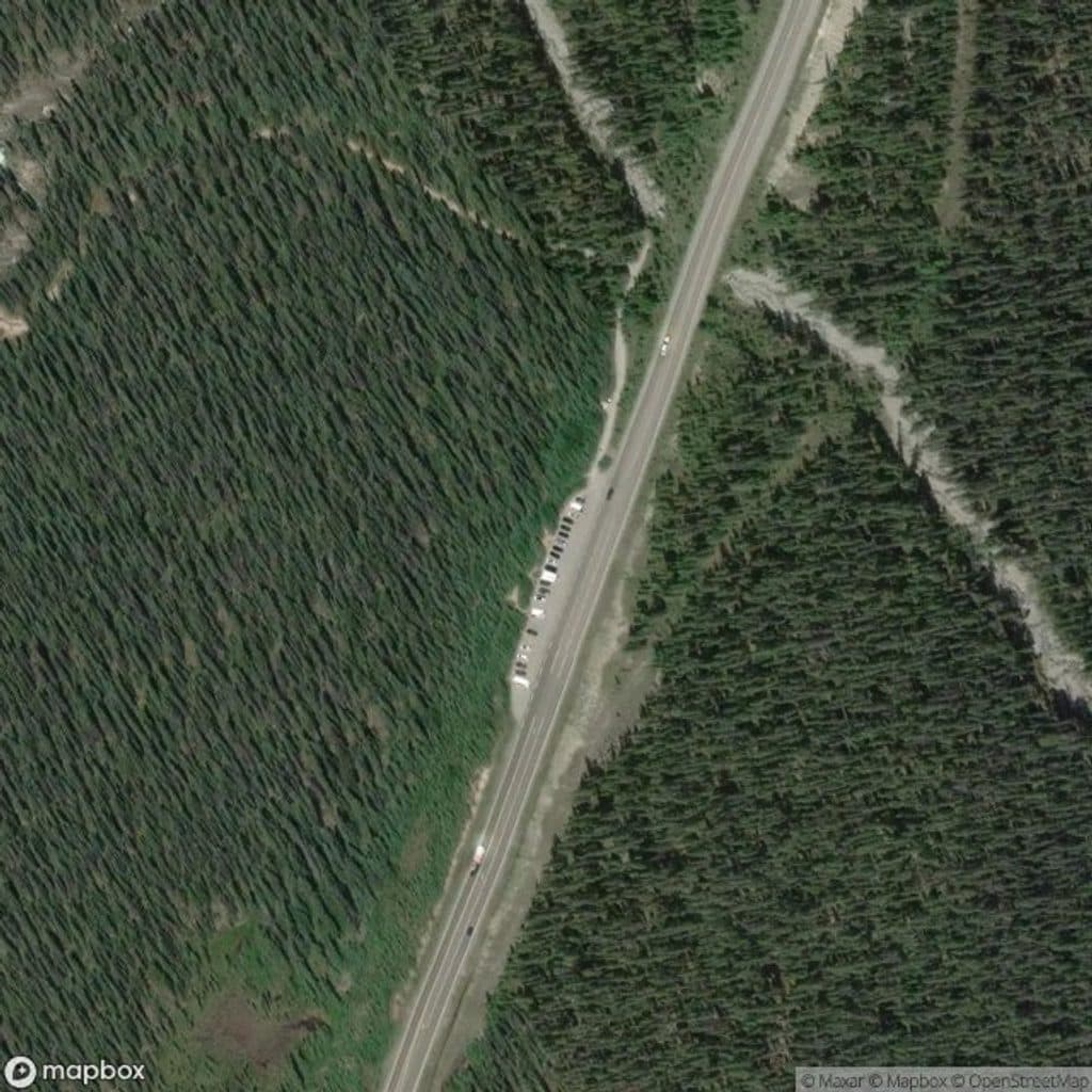
Park at the signed Sunset Pass parking lot on the east side of Hwy 93N, 16.5 km north of Saskatchewan Crossing. The lot is a gravel pullout at the bottom of a hill; there are no toilets.
Banff National Park, AB
Steep forest climb to a dramatic lookout above two wild rivers
Overview
Sunset Lookout is a difficult out-and-back hike from the Sunset Pass parking lot on the Icefields Parkway. The route climbs through thick subalpine forest to the signed junction, then follows a steep 1.6 km branch to the former fire-tower site above the meeting of the Alexandra and North Saskatchewan rivers. The lookout route is about 4.5 km one way, or 5.6 miles round trip, with roughly 615 m (2,018 ft) of elevation gain. Expect a sustained climb with many switchbacks, exposed roots and rocks, and a final steep section that can feel airy near the viewpoint. The route is usually quiet by Banff standards, but the open lookout can be windy and cold. There are no toilets or reliable water at the trailhead. Grizzly bears use this corridor, so carry bear spray and make noise. Dogs are allowed on leash. The Sunset Pass Trail continues beyond the junction; this guide covers the lookout branch only. Park at the signed Sunset Pass parking lot, 16.5 km north of Saskatchewan Crossing on Hwy 93N. Best conditions are generally June through October, subject to current Parks Canada access and trail advisories.
Map & elevation
Plan your hike

The highest, rockiest slopes around here are a summer buffet for grizzly bears.
Banff Tour Guide
Parkwolf is a GPS audio tour guide for Banff National Park. As you drive, it chimes in with what’s ahead: hidden gems, upcoming stops, history, geology, and wildlife, right through your car’s speakers.
Recorded for this area
Sunset Pass: A Hard-Earned Hike for Solitude“The trailhead you're passing is for Sunset Pass. This one isn't a casual walk; it's a good choice if you're looking for a quieter trail and don't mind a challenge.”
Plays near this trailhead in the Parkwolf Banff Tour Guide.
More stories near here in the app
“…Loved the commentary as you drove thru. I’m sure the app can do more than I know but the tips were very helpful. I’m gonna use it when we go to Banff next month.”


Wildlife
 122 sightingsGrizzly BearMost seen around 6 AMSighting map
 150 sightingsBrown BearMost seen around 6 PMSighting map
 44 sightingsGray WolfMost seen around 6 AMSighting map
 12 sightingsRiver OtterMost seen around 8 PMSighting map
 67 sightingsMooseMost seen around 8 PMSighting map
 465 sightingsBlack BearMost seen around 9 PMSighting map
Sighting maps show where each species has been reported across Banff. Wildlife moves, so no sighting is guaranteed.
Keep exploring
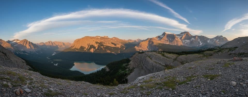 ChallengingSunset Pass16.3 km · 6.5 hr · At the trailheadBig views, golden meadows, and blessed solitude off the Parkway
 ModerateGlacier Lake17.5 km · 6.5 hr · 14.8 km awayQuiet forest approach to a turquoise lake beneath the Southeast Lyell Glacier
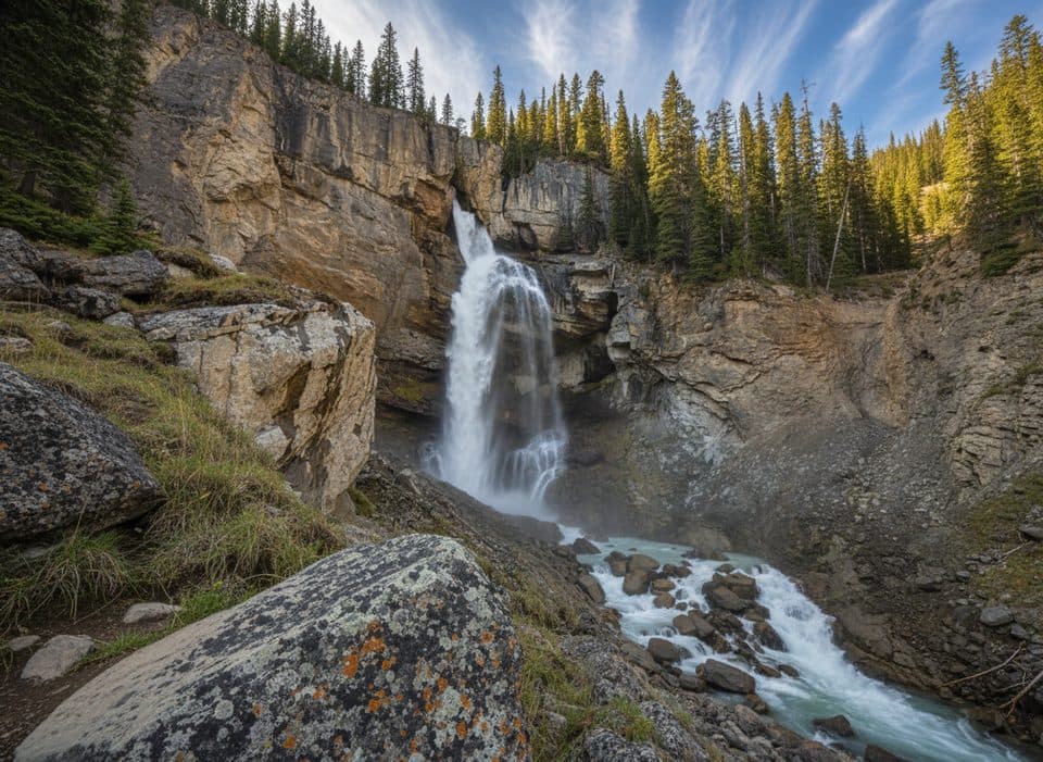 EasyPanther Falls0.8 km · 36 min · 16 km awayQuick, misty detour to a thundering canyon waterfall
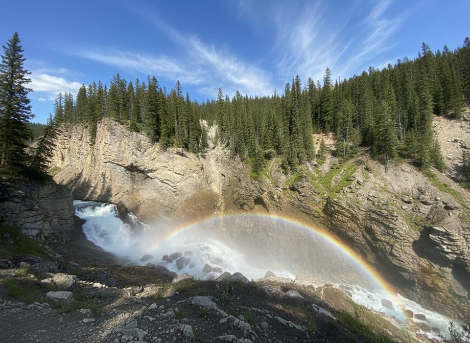 EasyLower Panther Falls0.9 km · 18 min · 16 km awayBig payoff, quick drop to a roaring, misty cliffside waterfall.
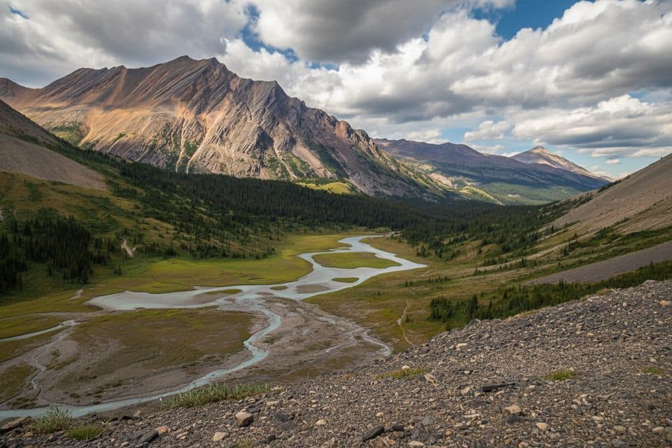 ModerateNigel Pass15.8 km · 5 hr · 17 km awayHistoric Wonder Road approach to a broad alpine pass with Brazeau Valley views
 ChallengingOwen Creek Tail26.4 km · 9.6 hr · 18.3 km awayRugged creek approach to the Great Divide Trail and Michele Lakes
 EasyMistaya Canyon Trail1 km · 30 min · 19.4 km awayA short forest walk to a bridge above a sculpted limestone canyon
 ChallengingSarbach Lookout10.2 km · 4.5 hr · 19.4 km awaySteep climb from Mistaya Canyon to a rocky former fire-lookout site with mountain and valley views.
 Sight · 2.2 km awaySunset LookoutHistoric fire lookout perch with sweeping river‑valley panoramas
 Lodging · 4.3 km awayHI Rampart CreekOff-grid hostel with a creekside sauna on the Icefields Parkway
 Sight · 5.3 km awayColumbia IcefieldVast icefield with tours onto Athabasca Glacier and sweeping views
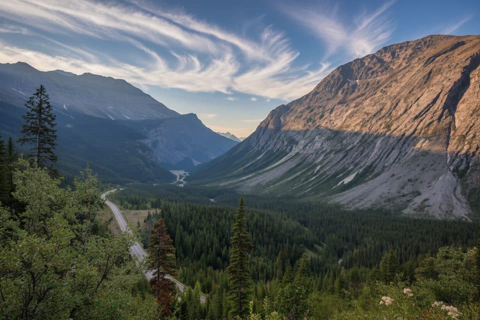 Scenic pullout · 11.7 km awayCirrus Mountain ViewpointRoadside panorama of Cirrus Mountain and the North Saskatchewan valley
 Lodging · 15.4 km awayThe Crossing ResortFull-service stop with rooms, food, and fuel on the Parkway
 Sight · 15.6 km awaySaskatchewan River CrossingHistoric river junction and the Parkway’s lone services hub
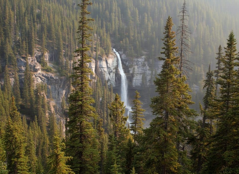 Scenic pullout · 15.9 km awayBridal Veil Falls ViewpointRoadside view of a graceful, glacial-fed cascade across a canyon
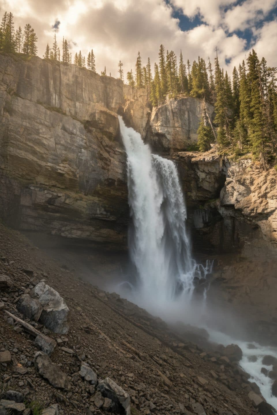 Sight · 16.1 km awayPanther FallsShort path to a thundering canyon waterfall you can duck behind
Parkwolf’s Banff ranking

The audio tour guide for the drive, plus offline maps, trails, and wildlife heatmaps for when the signal drops.





