Parking
Taylor Creek day-use area on the south side of the Trans-Canada Highway, about 8 km west of Castle Junction or 17 km east of Lake Louise. Park in the signed Taylor Lake lot and begin at the back of the lot through the wildlife gate.
Banff National Park, AB
A steady forest climb to a larch-fringed alpine lake beneath Mount Bell
Overview
Taylor Lake is a classic Banff destination hike: a steady forest climb that opens into subalpine meadows and a glacial lake beneath Mount Bell. The approach is mostly shaded and quiet, while the lake and surrounding meadows provide the main scenic payoff.
 Parkwolf’s verdictWhy this hike
Map & elevation
Plan your hike

The highest, rockiest slopes around here are a summer buffet for grizzly bears.
Banff Tour Guide
Parkwolf is a GPS audio tour guide for Banff National Park. As you drive, it chimes in with what’s ahead: hidden gems, upcoming stops, history, geology, and wildlife, right through your car’s speakers.
Recorded for this area
Fire Followers: Woodpeckers in Burned Forests“If you’re passing through a burned forest, you're in the territory of some special birds. Look for black-backed and American three-toed woodpeckers.”
Plays on the road 1.2 km from the trailhead in the Parkwolf Banff Tour Guide.
More stories near here in the app
“…Loved the commentary as you drove thru. I’m sure the app can do more than I know but the tips were very helpful. I’m gonna use it when we go to Banff next month.”


Trail guide
Start at the Taylor Creek day-use area and follow the signed Taylor Lake Trail through the wildlife gate. The route is an out-and-back to Taylor Lake, with a continuous uphill approach on packed dirt and sections of rock, roots, and two small bridge crossings. Parks Canada lists 6.3 km to the lake and about 585 m of elevation gain; the current mapped corridor measures about 6.65 km one way. The visitor distance is therefore about 8.3 miles (13.3 km) round trip. Allow roughly 4–5 hours for the complete hike, depending on pace and time at the lake.
The lower route stays in dense forest with limited views. Near the upper meadows, the landscape opens around Taylor Lake, with larches, a stream, and views toward the surrounding peaks. The O’Brien Lake and Panorama Ridge East branches are separate extensions and are not part of this Taylor Lake route.
The trailhead is on the south side of the Trans-Canada Highway, about 8 km west of Castle Junction or 17 km east of Lake Louise. Parking is at the Taylor Creek day-use area; the route begins at the back of the lot through the wildlife gate. Dogs are allowed on leash. Camping and fishing are subject to Parks Canada rules and permits where required.
This is active bear country: carry bear spray where it is immediately accessible, make noise as appropriate, and follow current Parks Canada wildlife guidance. Close the wildlife gate behind you. Snow and mud can persist early in the season, and high-country weather can change quickly; use sturdy footwear, carry layers and navigation tools, and check official trail conditions before setting out.
Wildlife
 122 sightingsGrizzly BearMost seen around 6 AMSighting map
 150 sightingsBrown BearMost seen around 6 PMSighting map
 44 sightingsGray WolfMost seen around 6 AMSighting map
 12 sightingsRiver OtterMost seen around 8 PMSighting map
 67 sightingsMooseMost seen around 8 PMSighting map
 465 sightingsBlack BearMost seen around 9 PMSighting map
Sighting maps show where each species has been reported across Banff. Wildlife moves, so no sighting is guaranteed.
Keep exploring
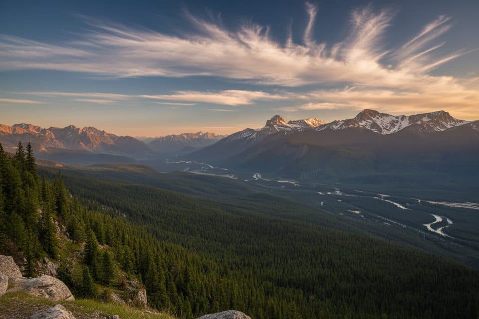 ModerateCastle Lookout7.4 km · 3 hr · 3.5 km awayShort, steady climb to one of Bow Valley’s best panoramas
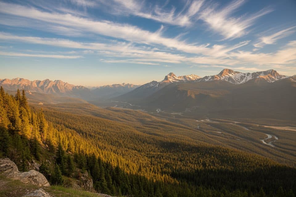 ModerateCastle Mountain Lookout7.4 km · 3.5 hr · 3.5 km awayA steady climb to a fire lookout with wide Bow Valley views.
 EasyBoom Lake Trail10.3 km · 3.5 hr · 6.2 km awayBumpy forest trail to a mountain lake beneath Boom MountainChallengingTwin Lakes via Arnica Lake16.6 km · 6.5 hr · 7.2 km awayA demanding out-and-back from Vista Lake to Arnica Lake and the Upper and Lower Twin LakesChallengingTwin Lakes via Gibbon Pass16.7 km · 7.5 hr · 7.2 km awayFour mountain lakes and golden larches on a demanding Banff day hikeChallengingGibbon Pass via Twin Lakes21.1 km · 9 hr · 7.2 km awayFour alpine lakes, larch country, and a hard-earned finish at Gibbon Pass
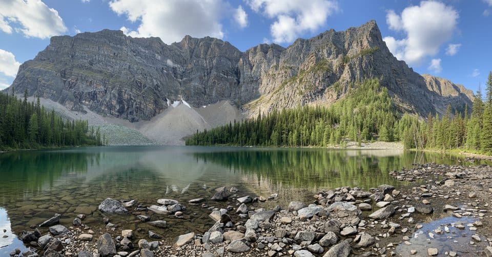 ChallengingArnica Lake and Twin Lakes via Vista Lake16.9 km · 7 hr · 7.2 km awayFour-lake mountain day with larches, cirque views, and a quiet Twin Lakes finish
 Sight · 4.6 km awayEisenhower TowerClassic Castle Mountain pinnacle for moderate alpine rock climbs
 Sight · 4.6 km awayCastle MountainIconic castle-shaped peak with big roadside and summit views
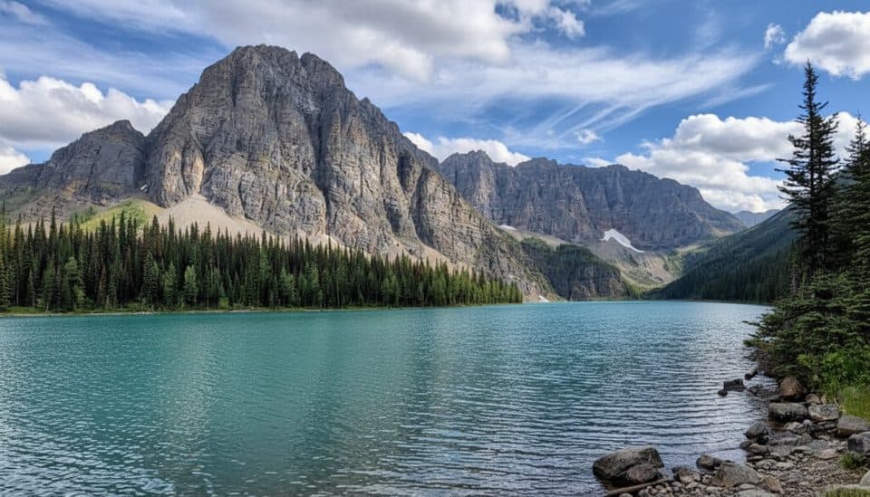 Sight · 5.3 km awayTaylor LakeLarch-lined alpine lake with fewer crowds and a big fall payoff
 Sight · 5.4 km awayCastle Mountain LookoutSteep hike to a huge Bow Valley panorama under Castle Mountain
 Lodging · 5.9 km awayBaker Creek Mountain ResortSecluded creekside log cabins on the Bow Valley Parkway
 Scenic pullout · 5.9 km awayStorm Mountain LookoutQuiet Bow Valley pullout with river, peaks, and passing trains
 Lodging · 6.1 km awayStorm Mountain LodgeHistoric 1920s log cabins with a standout restaurant and mountain serenity
 Sight · 6.3 km awayRockbound LakeAlpine cirque lake tucked behind Castle Mountain’s cliffs
Parkwolf’s Banff ranking
The audio tour guide for the drive, plus offline maps, trails, and wildlife heatmaps for when the signal drops.





