
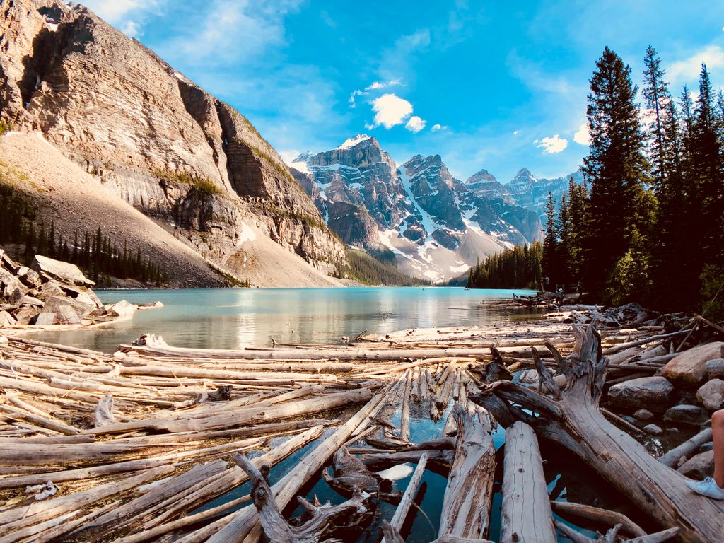
Place
Moderate
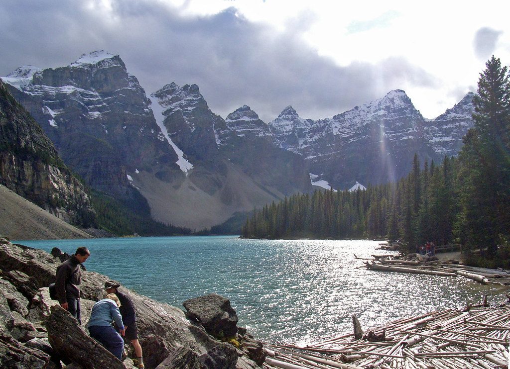
This is Lake Louise’s greatest hits in one loop: turquoise lakes, glacial amphitheaters, and two historic teahouses serving trail fuel with a side of nostalgia. The circuit connects Lake Agnes Teahouse with the Plain of Six Glaciers Teahouse via the Highline, threading beneath the Beehive ridge with constant big-mountain views.
Expect a real day out. The total loop is roughly 8.9 miles (14.3 km) total, with meaningful climbing spread across the day. Add popular spurs like Big Beehive, Little Beehive, or even Devil’s Thumb and the distance and effort jump; some variants stretch toward 18–20 km with close to 1,000 m of gain. If you want the views without every side quest, stick to the core circuit.
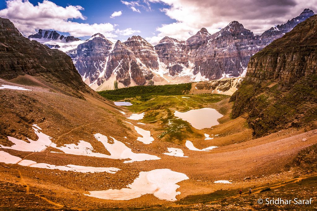
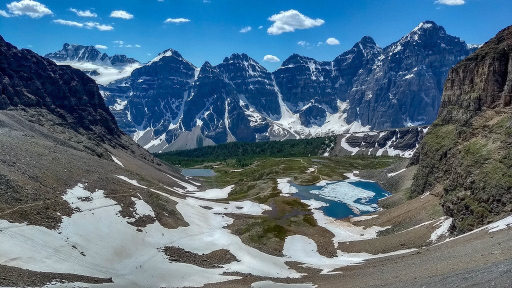
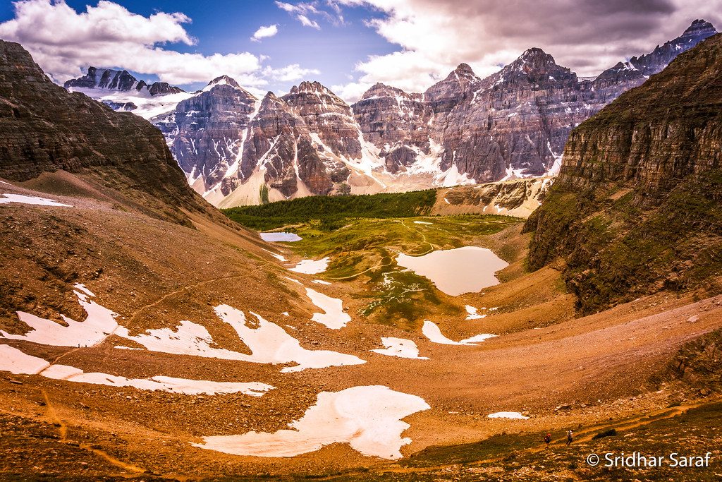
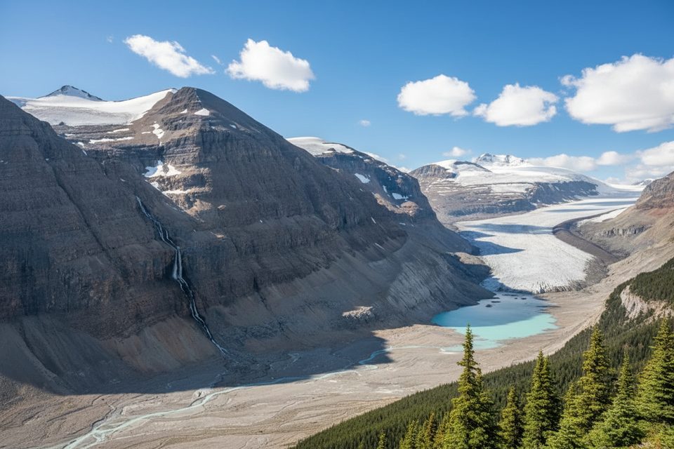
From Lake Louise, climb through cool subalpine forest past Mirror Lake to Lake Agnes, where the teahouse sits beside the hanging valley lake. Traverse the Highline beneath the Beehive across rocky slides (caution in wet/icy conditions) toward the Plain of Six Glaciers basin. Here, the landscape turns textbook post‑glacial: moraines, debris fields, and panoramic views of Victoria Glacier with Mount Victoria and Mount Lefroy towering above. After a stop at the second teahouse, return along the valley toward the lake to close the loop.
Crowds concentrate near Lake Agnes and the Beehive lookouts; the Highline typically quiets down, especially if the weather turns. The footing is mostly packed dirt and gravel with some rocky, uneven sections—nothing technical on the main circuit. It’s a sustained, rewarding day with frequent “wow” moments and two very welcome refreshment stops.
Late June through September is your window. Snow lingers in spring and returns early at higher elevations. Start early: it’s the difference between a serene morning and a theme park vibe near Lake Louise. Teahouses are seasonal—check hours; don’t rely on them as your only food/water source. Mountain weather flips fast near the glacier, so carry layers and be lightning-aware around exposed sections.
You’ll walk across glacial moraines and past layered cliffs sculpted by the retreat of Victoria Glacier. Keep an eye on the water color shifts in Lake Louise and Lake Agnes—classic glacial flour at work. Wildlife is possible, including bears; give them space and follow park guidance.
Yes—if you’re up for a full-value day and can handle the crowds near the headliners. The Highline link makes this feel like an adventure rather than a box-check, and the glacier views are the payoff everyone talks about.
Park at the Lake Louise lakeshore area; arrive very early—parking is limited and often paid in peak season.
Highline rockslide traverses are hazardous when wet/icy; rapid mountain weather shifts and possible lightning; seasonal teahouse hours; bear country—stay alert and follow park guidance.
Place
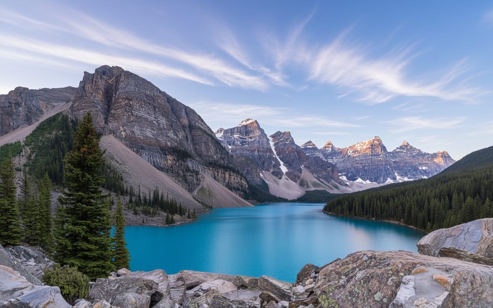
Place
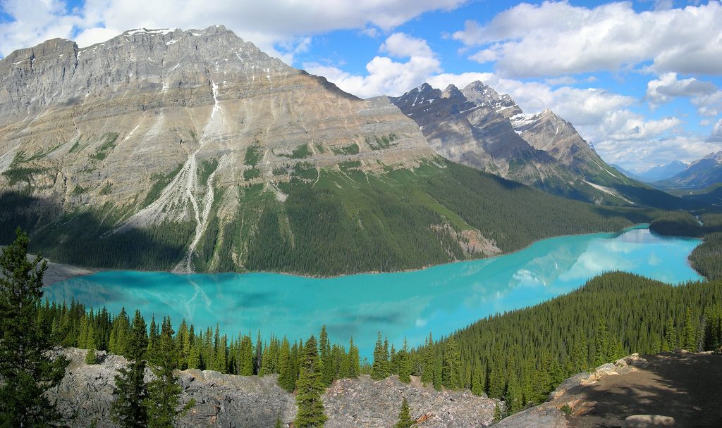
Place
Place
Easy
Challenging
Challenging
Moderate

Parkwolf Tour Guide
