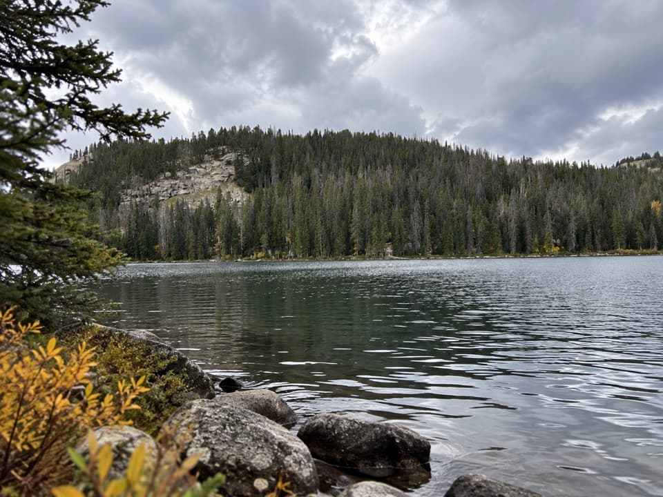
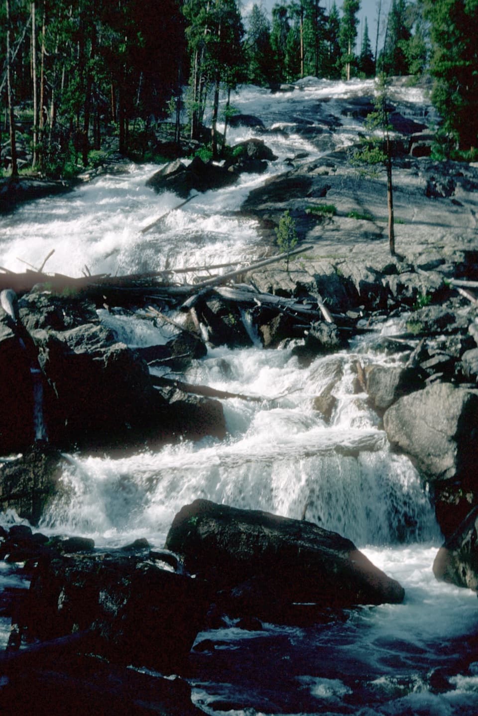
Sentinel Falls in Beartooth Highway

Sight · Beartooth Highway

Sentinel Falls

A creekside hike links Calamity Falls with Sentinel Falls.

Type
Sight
Nearest trail
1.8 mi
  • Trailhead
  • Parking
  • Restrooms

Hear the audio tour

West Fork Road: Calamity and Sentinel Falls

Overview

About Sentinel Falls

Why stop

  • The route follows Rock Creek for much of the walk.

Heads up

  • A closer view takes a faint spur down to the falls.

Map

Where it is

Loading the Beartooth Highway map
Full map
SightSentinel Falls45.15646, -109.52843
Keep this map with you offline in the Parkwolf app

Plan your stop

Before you go

1 active Beartooth Highway alert

  • ClosureBeartooth Highway seasonal closure and falling-rock advisoryBeartooth Highway (US-212) is closed for the season between Cooke City and Red Lodge; do not plan to travel the highway as a through route.Official details
Beartooth Highway alerts
A park ranger sits on a dash-mounted phone, talking, as Parkwolf’s Tour Guide plays “Army Cutworm Moths: A Grizzly Bear Buffet” on Grand Loop Road below Dunraven Pass in Yellowstone
Parkwolf Tour GuideThe highest, rockiest slopes around here are a summer buffet for grizzly bears.

Beartooth Highway Tour Guide

Your drive to Sentinel Falls, narrated.

Parkwolf is a GPS audio tour guide for Beartooth Highway. As you drive, it chimes in with what’s ahead: hidden gems, upcoming stops, history, geology, and wildlife, right through your car’s speakers.

See the Beartooth Highway audio tour

Recorded for this place

West Fork Road: Calamity and Sentinel Falls
0:00 / 0:24
“You're approaching West Fork Road, the access for the Calamity and Sentinel Falls hike. The trailhead is farther up the valley, with the final five and a half road miles on dirt.”

Plays as you drive up to Sentinel Falls in the Parkwolf Beartooth Highway Tour Guide.

  • 62 audio storiesacross Beartooth Highway’s roads, triggered by GPS as you drive
  • Wildlife heatmapsfor Grizzly Bear, Gray Wolf, Bison, and 13 more
  • Works offlinemaps, 82 trails, 36 places, and audio download before you lose signal
  • CarPlay readysimple controls built for the drive
★★★★★
“Fantastic app with many points of information… It’s great to just turn on while you’re driving and it gives you an audio tour of the national Park. We love it!!!!”
JMJamesApp Store review
Download Parkwolf on the App StoreGet Parkwolf on Google Play

4.7 from 8,600+ ratings

Guide

More about Sentinel Falls

A waterfall walk off West Fork RoadSentinel Falls is the second named waterfall reached along West Fork Trail 1, in the Custer…

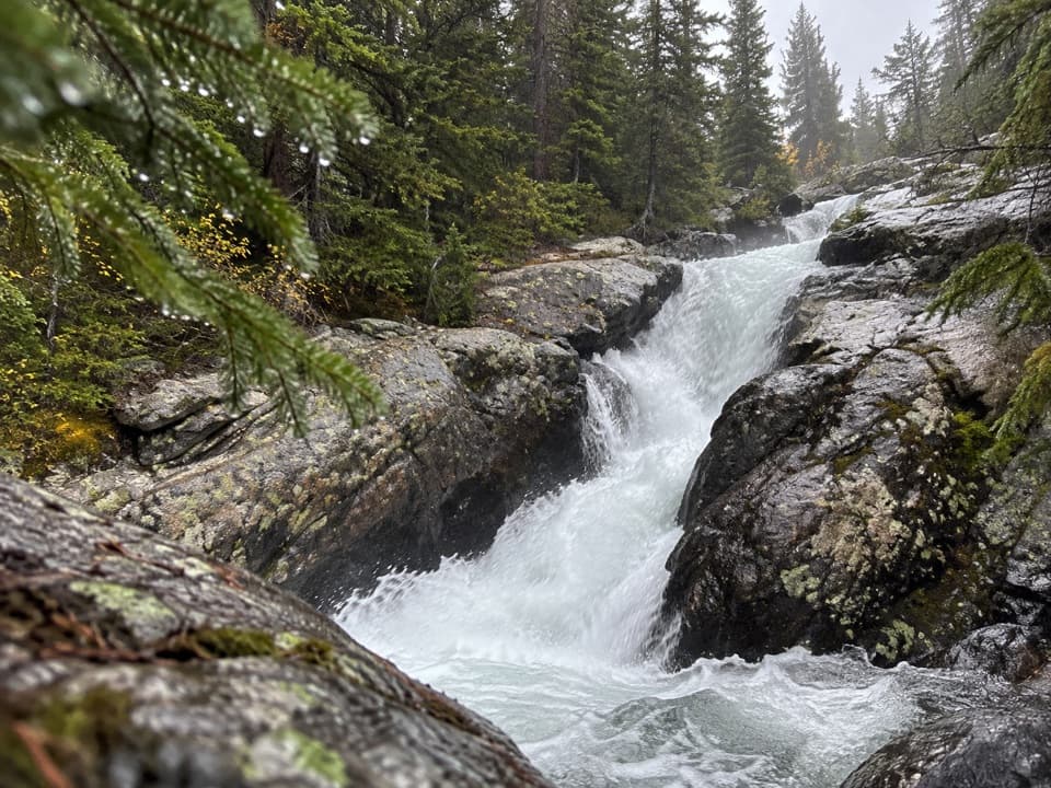
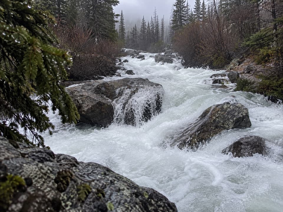
Sentinel Falls is the second named waterfall reached along West Fork Trail #1, in the Custer Gallatin National Forest west of Red Lodge. Calamity Falls comes first; Sentinel lies farther along the same creekside trail. Choose this walk for a forested waterfall stop rather than another highway overlook.

The walk and approachThe listed distance is 1.

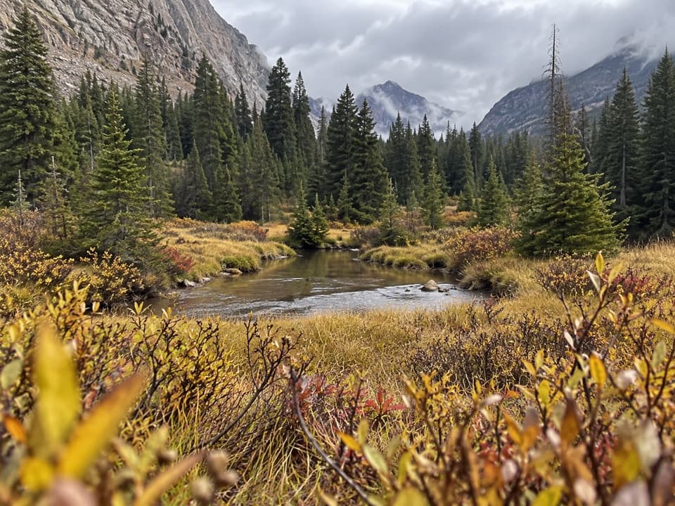
The listed distance is 1.8 miles from the West Fork trailhead; mapped measurements reach the falls' vicinity at about 2.2 miles, so plan for roughly four miles round trip. The route follows the West Fork of Rock Creek through forest and rocky ground, past Calamity Falls, then continues beyond Sentinel toward Quinnebaugh Meadows and Sundance Pass. A vault toilet and parking lot are at the trailhead. From Red Lodge, West Fork Road turns to dirt after 4.5 miles, with another 5.5 miles to the trailhead.

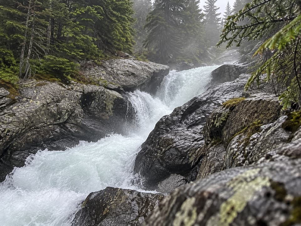
Getting a view of the fallsThe main trail reaches Sentinel Falls, but the view can be hard to pick out from the path.

The main trail reaches Sentinel Falls, but the view can be hard to pick out from the path. A faint side trail descends to the base for a closer look at the cascade. If you find that spur, it gives you the close waterfall view; from the main trail, you see more of the creekside setting.

Wildlife

Wildlife in Beartooth Highway

All Beartooth Highway wildlife maps

Sighting maps show where each species has been reported across Beartooth Highway. Wildlife moves, so no sighting is guaranteed.

Parkwolf’s Beartooth Highway ranking

Top sights in Beartooth Highway

All 36 places
  1. 1Beartooth Pass VistaSight
  2. 2Rock Creek Vista PointSight
  3. 3Clay Butte LookoutSight
  4. 4Pilot and Index Peaks OverlookScenic pullout
  5. 5Beartooth LakeSight
  6. 6Crazy Creek FallsSight

Take Parkwolf to Beartooth Highway.

The audio tour guide for the drive, plus offline maps, trails, and wildlife heatmaps for when the signal drops.

4.7 from 8,600+ ratings

Download Parkwolf on the App StoreGet Parkwolf on Google Play