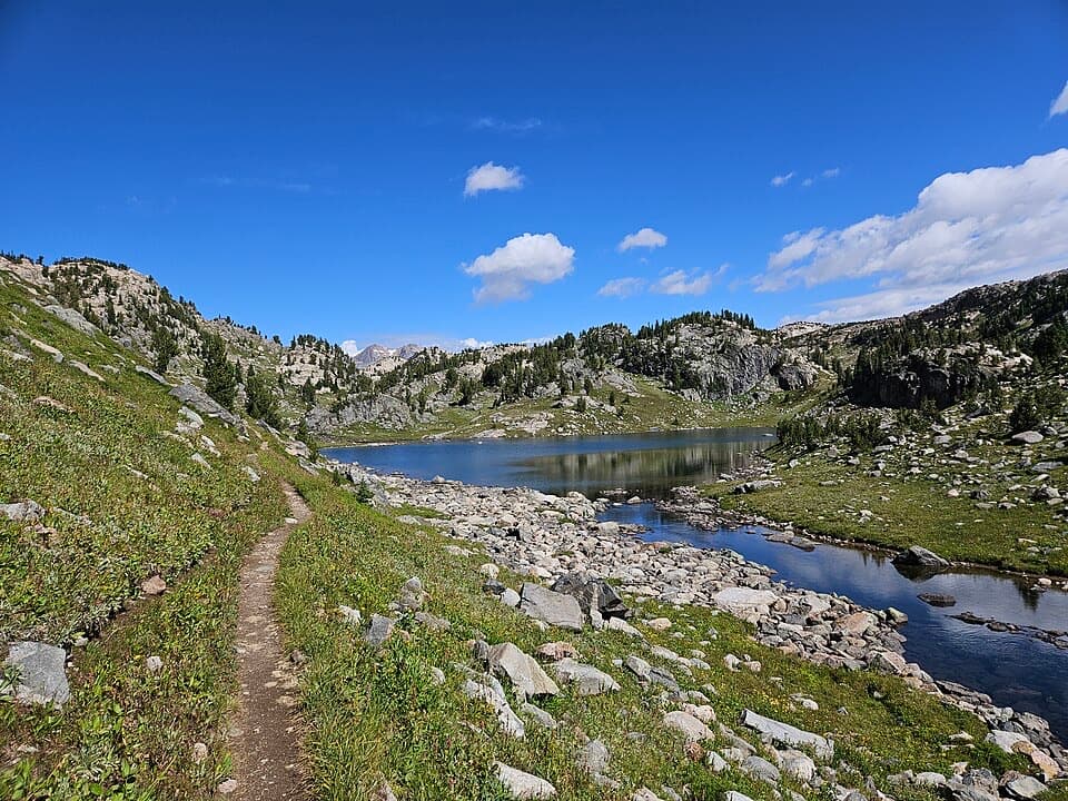
Parking
From US 212, turn onto West Fork Road and stay left where signed. Pavement ends about 4.5 miles after the turn; the West Fork Rock Creek Trailhead is another 5.5 miles along the dirt road. A vault toilet is at the trailhead.
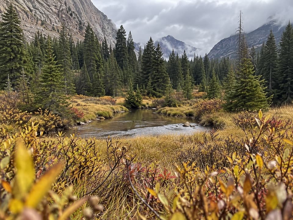
Beartooth Highway, MT · WY
Waterfalls break up the long walk to a flower-filled meadow.
Overview
Quinnebaugh Meadows is a 9-mile out-and-back on West Fork Trail #1, from West Fork Rock Creek Trailhead to the Lake Mary junction and back. The walk gains about 900 feet, from roughly 7,900 feet at the trailhead to 8,800 feet at the meadows. Allow about five and a half hours at a steady hiking pace, plus time for the falls and the meadow. Some local trail descriptions count the trip closer to 10 miles; use the Lake Mary junction as the turnaround and check your own track if the mileage matters.
 Parkwolf’s verdictIs this the meadow hike for you?
Map & elevation
Plan your hike

The highest, rockiest slopes around here are a summer buffet for grizzly bears.
Beartooth Highway Tour Guide
Parkwolf is a GPS audio tour guide for Beartooth Highway. As you drive, it chimes in with what’s ahead: hidden gems, upcoming stops, history, geology, and wildlife, right through your car’s speakers.
See the Beartooth Highway audio tourRecorded for this trailhead
West Fork Road: Calamity and Sentinel Falls“You're approaching West Fork Road, the access for the Calamity and Sentinel Falls hike. The trailhead is farther up the valley, with the final five and a half road miles on dirt.”
Plays as you drive up to this trailhead in the Parkwolf Beartooth Highway Tour Guide.
“Fantastic app with many points of information… It’s great to just turn on while you’re driving and it gives you an audio tour of the national Park. We love it!!!!”


Trail guide
The first stretch crosses the area burned in the 2008 Cascade Fire. It is sunnier and more open than the forest farther on. At about 1.3 miles, a short spur on the left reaches a viewing area near Calamity Falls and a narrow gorge. The viewpoint sits close to the edge, so stay back. Sentinel Falls, about 1.8 miles from the trailhead, drops in several cascades; parts of the falls can be hard to see from the path. Lodgepole forest returns beyond the waterfalls and brings welcome shade.
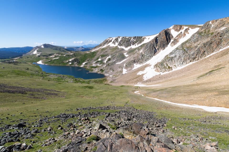
Beyond the falls, the trail follows the West Fork grade through forest and smaller openings. The route eventually reaches the broad Quinnebaugh Meadows below the Silver Run Plateau, with Whitetail Peak nearby. Wildflowers add seasonal color, but bloom timing varies. The meadows are the payoff for a long approach, not a quick viewpoint stop.
For this hike, stop at Quinnebaugh Meadows at the Lake Mary junction, 4.5 miles from the trailhead. The nine-mile total does not include the Lake Mary spur or the longer continuation toward Sundance Lake and Sundance Pass. Those are separate, longer outings; the Sundance Lake route continues well beyond the meadow junction.
From US 212, turn onto West Fork Road and stay left where signed. Pavement ends about 4.5 miles after the turn; continue another 5.5 miles on dirt road to the trailhead. A vault toilet is available there, but no food or potable-water service is listed. This is bear country: carry bear spray, keep pets under control, and pack out pet waste. Check road status before driving the unpaved approach.
Wildlife
 42 sightingsGrizzly BearMost seen around 7 AMSighting map
 22 sightingsGray WolfMost seen around 6 AMSighting map
 49 sightingsBisonMost seen around 6 AMSighting map
 122 sightingsMooseMost seen around 6 AMSighting map
 260 sightingsMountain GoatMost seen around 7 AMSighting map
 16 sightingsBighorn SheepMost seen around 7 PMSighting map
Sighting maps show where each species has been reported across Beartooth Highway. Wildlife moves, so no sighting is guaranteed.
Keep exploring
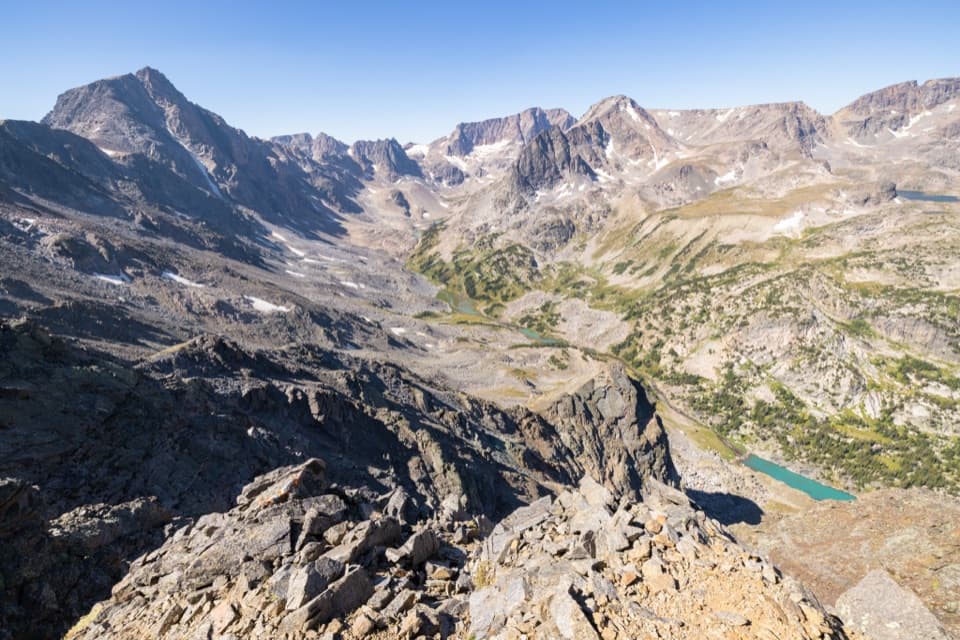 ChallengingWest Fork Trail #122 mi · 13 hr · At the trailheadWaterfalls and alpine lakes lead to an 11,045-foot pass.
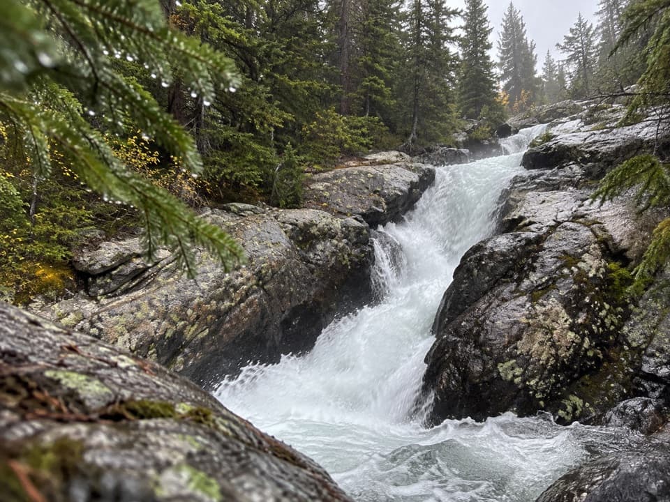 EasyCalamity and Sentinel Falls Trail4.5 mi · 2.5 hr · At the trailheadTwo waterfalls, a creekside walk, and a long open stretch early.
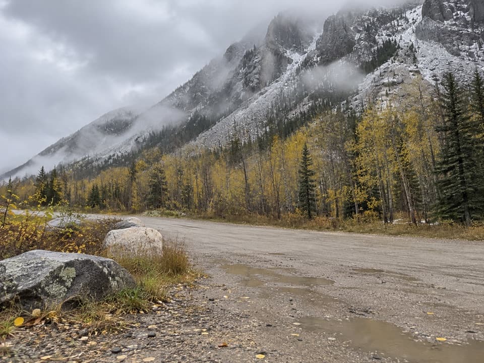 ChallengingCamp Senia Trail #167 mi · 5 hr · At the trailheadA long climb to a high-country junction and wilderness connections.
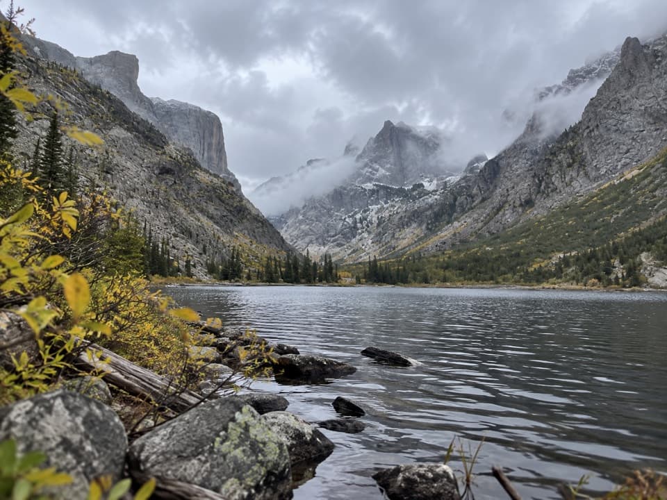 ChallengingCrow Lake via Camp Senia Trail17.2 mi · 10 hr · At the trailheadA long backcountry climb to Crow Lake's granite cirque.
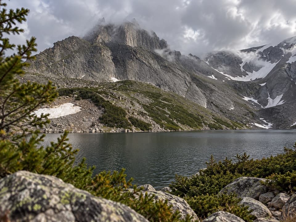 ChallengingSylvan Lake via Camp Senia Trail20.6 mi · 12 hr · At the trailheadA high-country out-and-back to Sylvan Lake via Camp Senia.
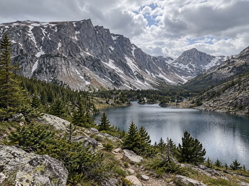 ChallengingLake Mary Trail #1B11.8 mi · 6 hr · At the trailheadLong West Fork climb to two high lakes above the valley.
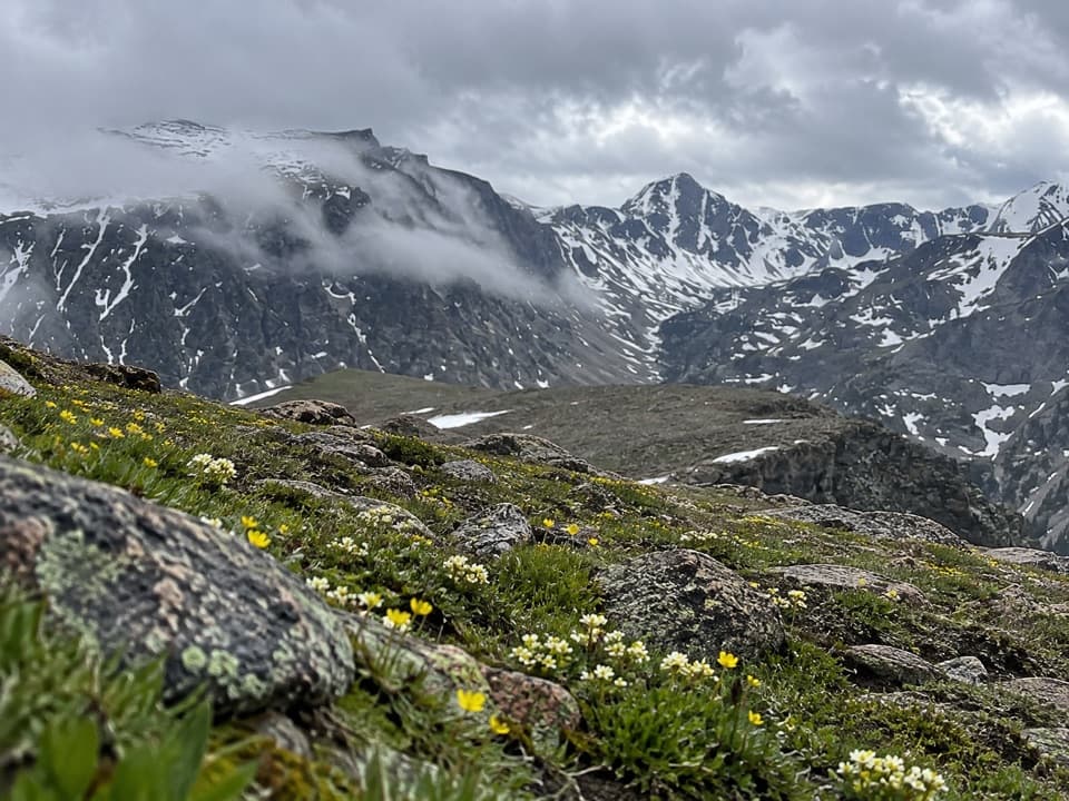 ChallengingEast Rosebud–Camp Senia Trail14.1 mi · 9.5 hr · At the trailheadA hard alpine crossing links West Fork with East Rosebud Campground.
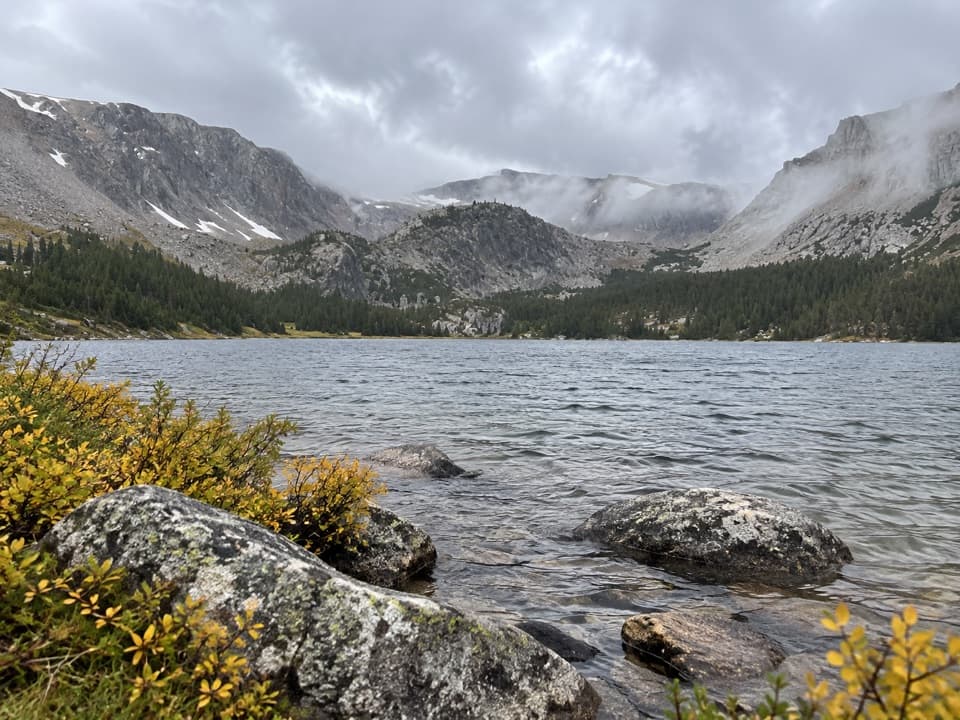 ChallengingTimberline Lake Trail9 mi · 5 hr · 1.5 mi awayTwo lakes below Silver Run Peak reward a long, steep climb.
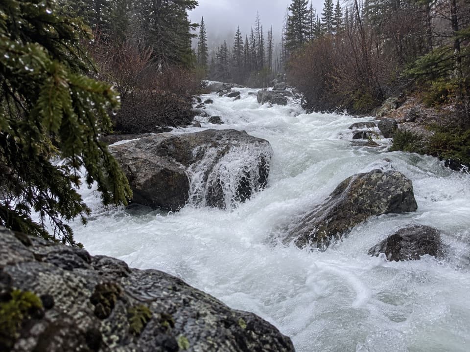 Sight · 1.3 mi awayCalamity FallsA 1.3-mile trail walk reaches falls tucked into a rocky gorge.
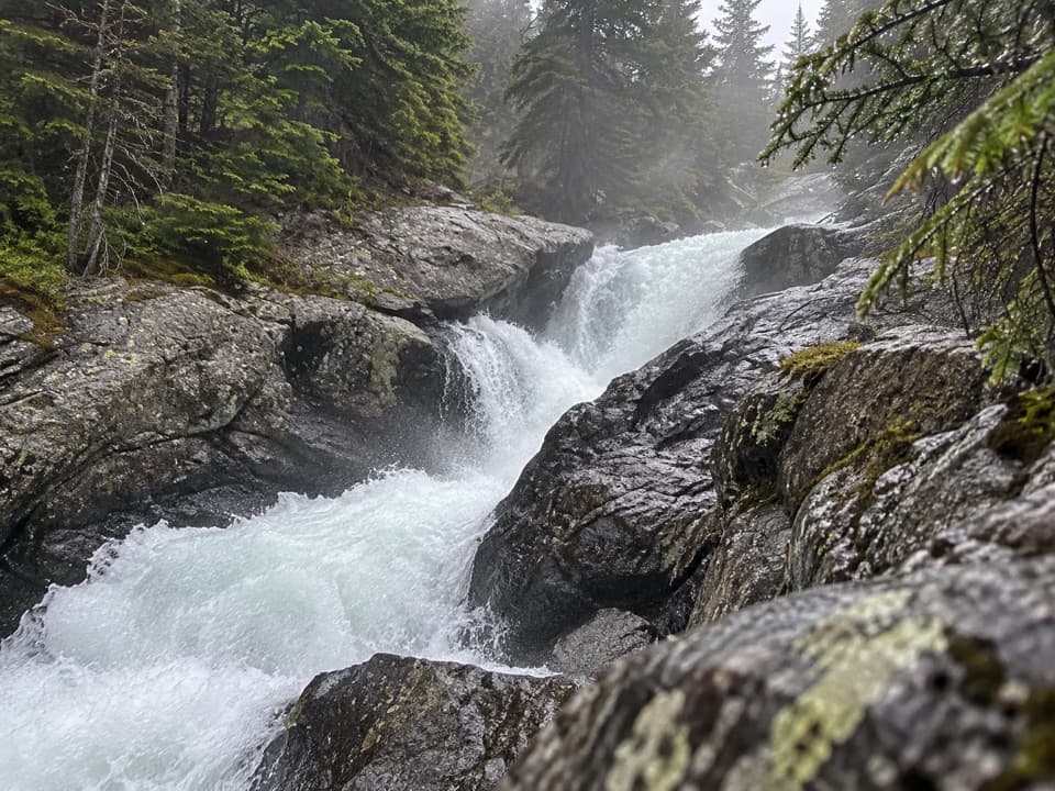 Sight · 1.8 mi awaySentinel FallsA creekside hike links Calamity Falls with Sentinel Falls.
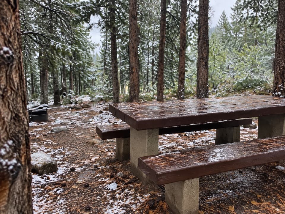 Campground · 8.6 mi awayLimber Pine CampgroundA quiet creekside base below the Beartooth switchbacks.
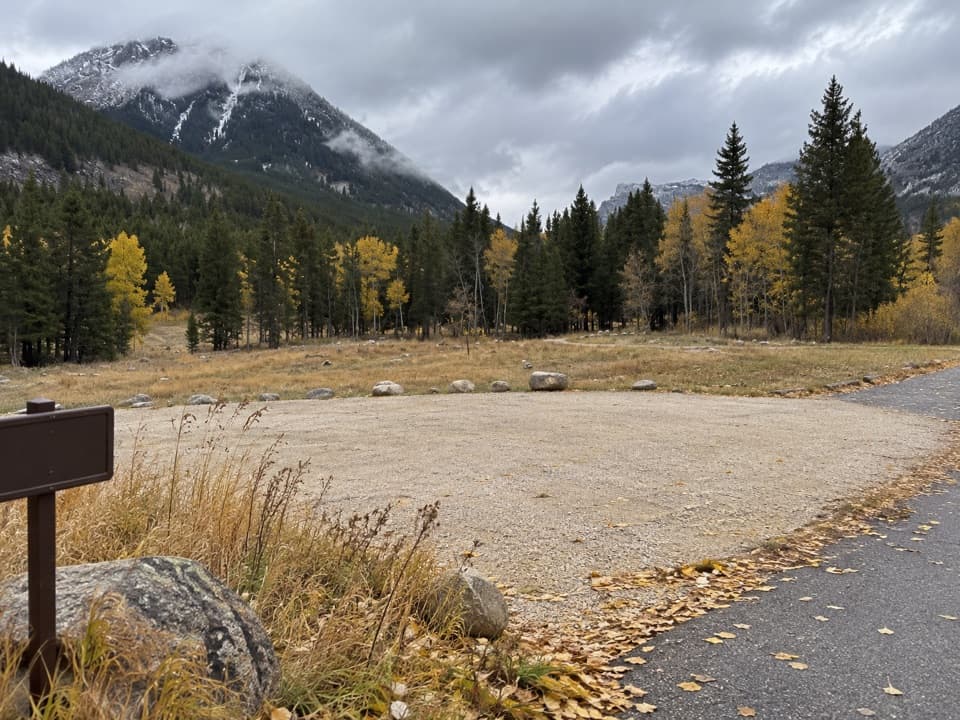 Campground · 8.7 mi awayParkside CampgroundCreekside camping near the foot of the Beartooth switchbacks.
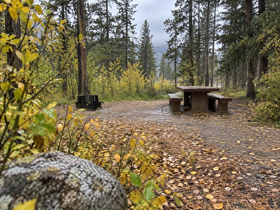 Campground · 8.8 mi awayGreenough Lake CampgroundCreekside camping, with Greenough Lake a short walk away.
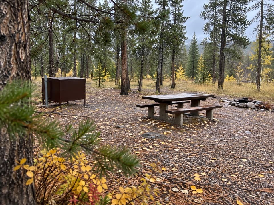 Campground · 9.6 mi awayM-K CampgroundA free creekside campground near Beartooth Highway hikes.
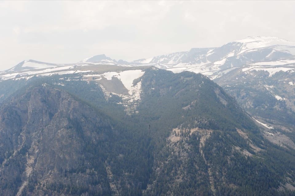 Sight · 9.7 mi awayRock Creek Vista PointA short paved path opens onto a huge glacial valley.
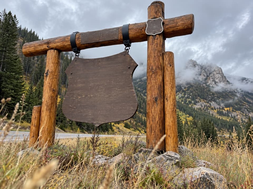 Sight · 9.8 mi awayBeartooth Highway Welcome SignA quick welcome photo before the high-country drive.
Parkwolf’s Beartooth Highway ranking
The audio tour guide for the drive, plus offline maps, trails, and wildlife heatmaps for when the signal drops.