West Fork Trail #1 in Beartooth Highway

Beartooth Highway, MT · WY

West Fork Trail #1

Waterfalls and alpine lakes lead to an 11,045-foot pass.

Photo: Public Domain
Length
22mi
Time
13hr
Elev. change
3,094ft
Difficulty
Challenging
  • Dogs allowed
  • High point 11,030 ft
  • #16 of 82 in Beartooth Highway

Hear the audio tour

West Fork Road: Calamity and Sentinel Falls

Overview

About West Fork Trail #1

Why go

  • Waterfalls, open meadows, and alpine lakes along one long route

Heads up

  • A 22-mile return with a steep climb above 11,000 feet

Map & elevation

The route

Loading the Beartooth Highway map
Full map
Elevation7,936–11,030 ft
TrailheadWest Fork Rock Creek Trailhead45.16848, -109.49571
Keep this map with you offline in the Parkwolf app

Plan your hike

Before you go

Parking

From the Beartooth Ranger District office, follow US 212 toward Red Lodge; after about 0.3 mile, turn west onto West Fork Road. Stay left at the signed fork about 2.8 miles in. Pavement ends after about 4.5 miles; continue 5.5 miles on dirt to West Fork Trailhead. A vault toilet is available.

Safety

Hard, high-altitude 22-mile route with a steep final climb; the Calamity Falls spur runs near a gorge edge. Wilderness rules limit groups to 15 and require bear-resistant food storage.

1 active Beartooth Highway alert

  • ClosureBeartooth Highway seasonal closure and falling-rock advisoryBeartooth Highway (US-212) is closed for the season between Cooke City and Red Lodge; do not plan to travel the highway as a through route.Official details
Beartooth Highway alerts
A park ranger sits on a dash-mounted phone, talking, as Parkwolf’s Tour Guide plays “Army Cutworm Moths: A Grizzly Bear Buffet” on Grand Loop Road below Dunraven Pass in Yellowstone
Parkwolf Tour GuideThe highest, rockiest slopes around here are a summer buffet for grizzly bears.

Beartooth Highway Tour Guide

Your drive to West Fork Trail #1, narrated.

Parkwolf is a GPS audio tour guide for Beartooth Highway. As you drive, it chimes in with what’s ahead: hidden gems, upcoming stops, history, geology, and wildlife, right through your car’s speakers.

See the Beartooth Highway audio tour

Recorded for this trailhead

West Fork Road: Calamity and Sentinel Falls
0:00 / 0:24
“You're approaching West Fork Road, the access for the Calamity and Sentinel Falls hike. The trailhead is farther up the valley, with the final five and a half road miles on dirt.”

Plays as you drive up to this trailhead in the Parkwolf Beartooth Highway Tour Guide.

  • 62 audio storiesacross Beartooth Highway’s roads, triggered by GPS as you drive
  • Wildlife heatmapsfor Grizzly Bear, Gray Wolf, Bison, and 13 more
  • Works offlinemaps, 82 trails, 36 places, and audio download before you lose signal
  • CarPlay readysimple controls built for the drive
★★★★★
“Fantastic app with many points of information… It’s great to just turn on while you’re driving and it gives you an audio tour of the national Park. We love it!!!!”
JMJamesApp Store review
Download Parkwolf on the App StoreGet Parkwolf on Google Play

4.7 from 8,600+ ratings

Trail guide

Hiking West Fork Trail #1

The full pass hikeWest Fork Trail 1 is a long out-and-back from the West Fork Rock Creek trailhead to Sundance…

West Fork Trail #1 is a long out-and-back from the West Fork Rock Creek trailhead to Sundance Pass. The trail reaches the pass after 11 miles, so this record describes about 22 miles round trip; the mapped trail corridor is drawn once. It follows the creek’s grade through the Absaroka-Beartooth Wilderness before a steep final climb to the 11,045-foot pass. The route rises about 3,000 feet. This is a hard, high-altitude day: budget roughly 12–14 hours for the return, a planning estimate rather than a posted time. The pass also joins Lake Fork Trail #2, but crossing over makes a point-to-point trip that needs a second vehicle or shuttle.

Waterfalls and the lower milesThe opening stretch moves between open, sunny ground and streamside trail; shade returns in the…

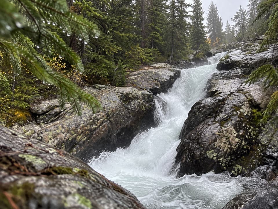
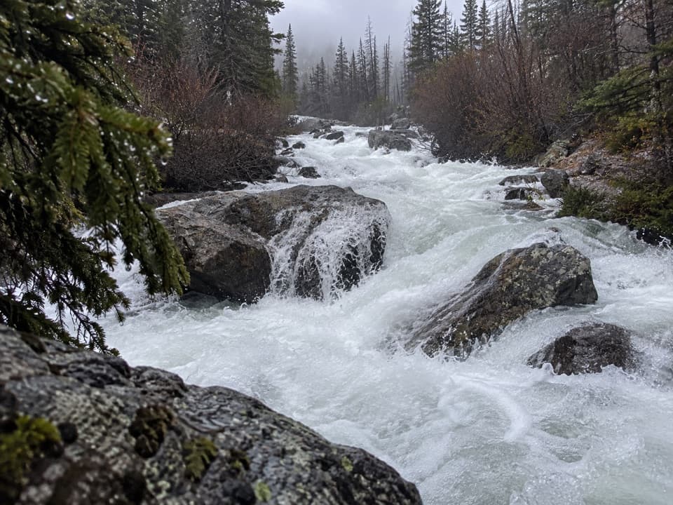
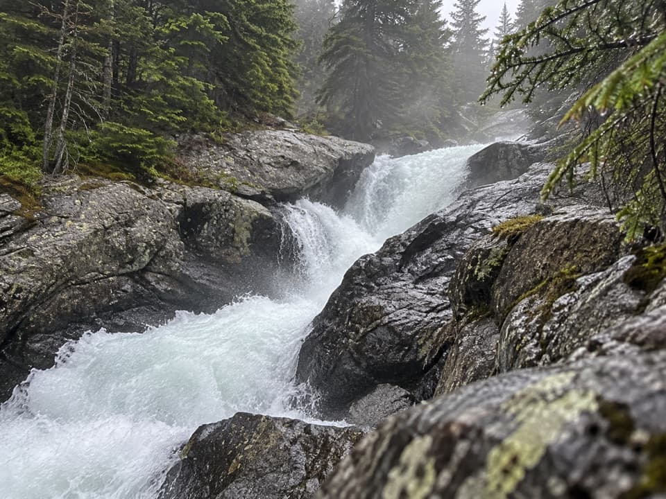
The opening stretch moves between open, sunny ground and streamside trail; shade returns in the forest beyond the falls. Calamity Falls is about 1.3 miles from the trailhead, followed by Sentinel Falls at 1.8 miles. Short side paths lead toward the cascades, but the falls can be hard to see clearly from the trail. The Calamity Falls spur approaches a gorge edge, so take care there. These early landmarks make useful turnaround points for a much shorter outing, but they do not represent the full route to Sundance Pass.

Quinnebaugh MeadowsAt about 4.

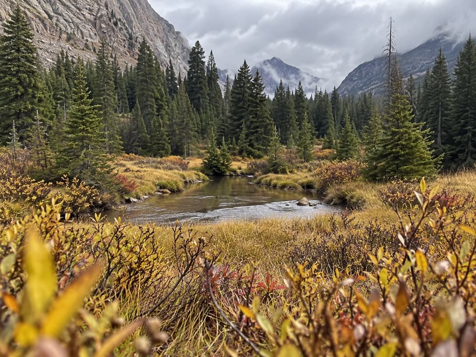
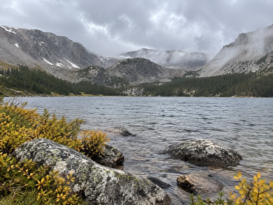
At about 4.5 miles, the trail reaches Quinnebaugh Meadows and the junction for Lake Mary Trail #1B. The Lake Mary spur is separate from the pass route. The meadows open up the creek corridor beneath the surrounding high ridges, after several miles of narrower trail. Sundance Lake lies about 8 miles in; distances in this description are one way from the West Fork trailhead.

Sundance Lake and the climbPast Sundance Lake, the trail climbs steeply for roughly three miles to Sundance Pass.

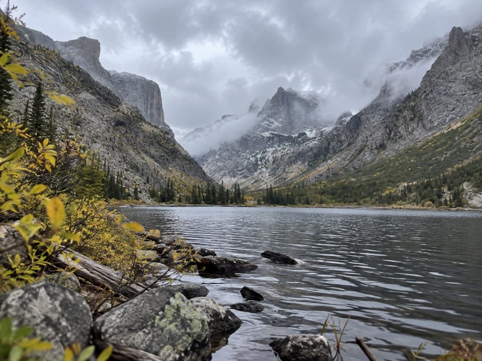
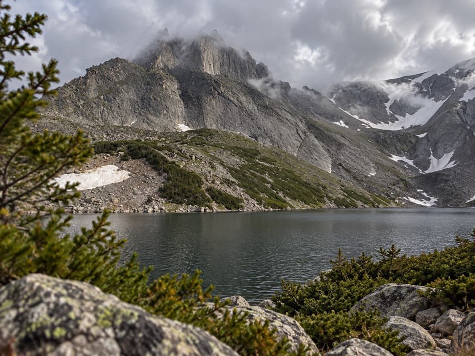
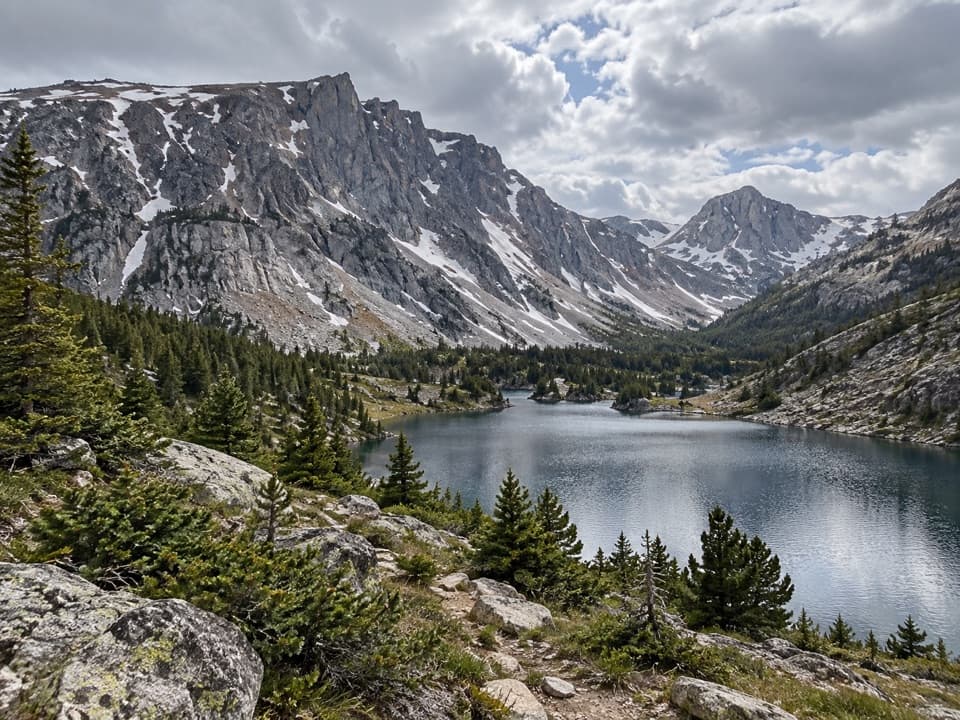
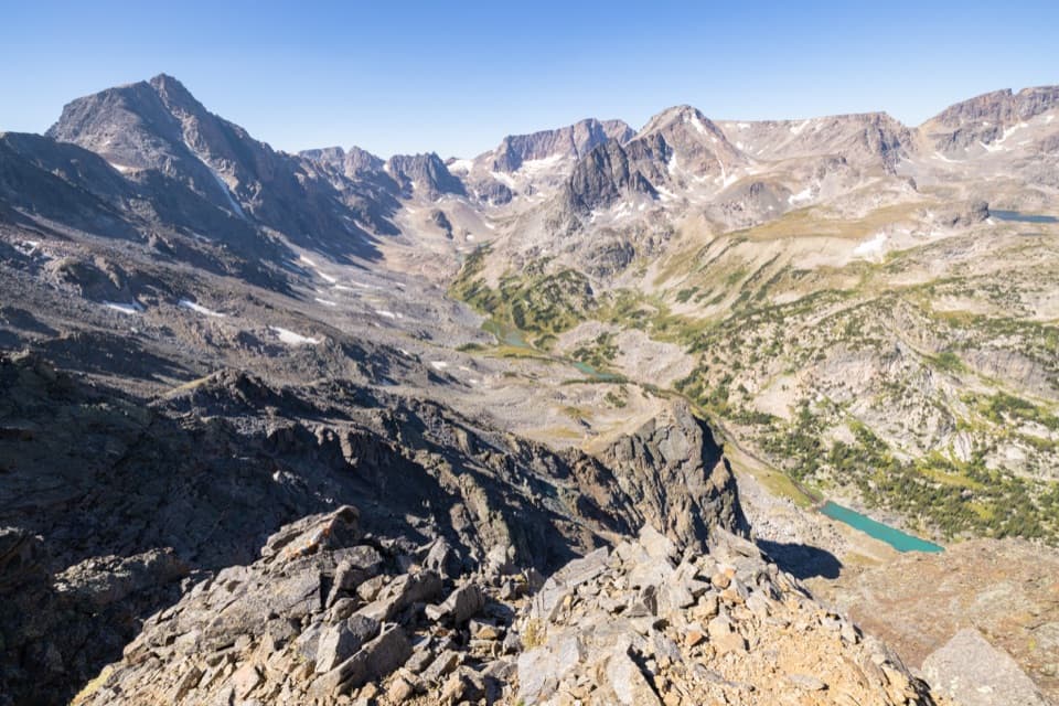
Past Sundance Lake, the trail climbs steeply for roughly three miles to Sundance Pass. The pass is the end of this route listing, not a loop: unless you have arranged a pickup on the Lake Fork side, turn around and retrace the same trail. The upper basin is the route’s signature view, with rocky high country and small lakes; save enough time and energy for both the ascent and the return to the trailhead.

Access and wilderness rulesFrom the Beartooth Ranger District office, follow US 212 toward Red Lodge; after about 0.

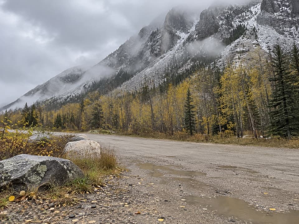
From the Beartooth Ranger District office, follow US 212 toward Red Lodge; after about 0.3 mile, turn west onto West Fork Road. Stay left at the signed fork about 2.8 miles in; pavement ends after about 4.5 miles, then continue another 5.5 miles on dirt to the trailhead. A vault toilet is available there. Check current access information before driving the final dirt road. The route is in designated wilderness: groups are limited to 15 people, food must be stored in bear-resistant containers, and campfires must stay at least 200 feet from lakes and 100 feet from flowing water. Carry bear spray and keep pets under control.

Wildlife

Wildlife in Beartooth Highway

All Beartooth Highway wildlife maps

Sighting maps show where each species has been reported across Beartooth Highway. Wildlife moves, so no sighting is guaranteed.

Keep exploring

Near West Fork Trail #1

See it all on the map

Trails that start nearby

Places near the trailhead

Parkwolf’s Beartooth Highway ranking

Top-rated trails in Beartooth Highway

All 82 trails
  1. 1Glacier Lake TrailChallenging · 4.4 mi
  2. 2Beartooth Lakes LoopModerate · 7.8 mi
  3. 3Becker and Albino Lakes TrailModerate · 12.2 mi
  4. 4Beartooth Loop National Recreation TrailChallenging · 10.9 mi
  5. 5The Beaten PathChallenging · 26 mi
  6. 6Gardner Lake TrailModerate · 1.6 mi

Take Parkwolf to Beartooth Highway.

The audio tour guide for the drive, plus offline maps, trails, and wildlife heatmaps for when the signal drops.

4.7 from 8,600+ ratings

Download Parkwolf on the App StoreGet Parkwolf on Google Play