Parking
Park at West Fork Trailhead on West Fork Road. Walk about 40 feet on West Fork Trail, then take the signed right turn onto Camp Senia. The last 5.5 road miles are unpaved; West Fork Road is closed to vehicles December 2 through April 14.
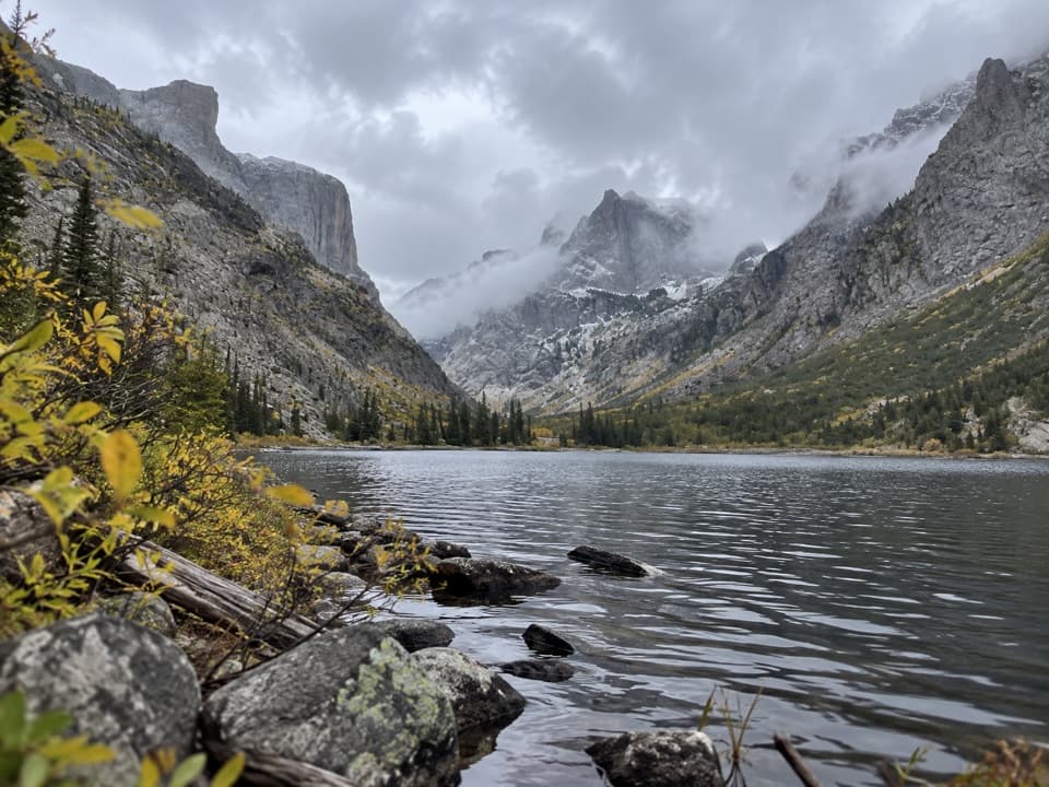
Beartooth Highway, MT · WY
A long backcountry climb to Crow Lake's granite cirque.
Overview
Map & elevation
Plan your hike

The highest, rockiest slopes around here are a summer buffet for grizzly bears.
Beartooth Highway Tour Guide
Parkwolf is a GPS audio tour guide for Beartooth Highway. As you drive, it chimes in with what’s ahead: hidden gems, upcoming stops, history, geology, and wildlife, right through your car’s speakers.
See the Beartooth Highway audio tour“Fantastic app with many points of information… It’s great to just turn on while you’re driving and it gives you an audio tour of the national Park. We love it!!!!”


Trail guide
Crow Lake via Camp Senia is a hard, 17.2-mile out-and-back from West Fork Trailhead: follow Camp Senia Trail #16 to the Crow Lake Trail #13B junction, then continue 0.6 mile to the lake. The return follows the same corridor. Published figures differ: one puts the branch 8 miles from the trailhead, while an area map lists 6.7. Use the longer figure for planning and reserve about 10 hours.
Camp Senia shares the West Fork Trailhead. Walk about 40 feet along West Fork Trail and take the signed right branch. The last 5.5 miles of West Fork Road are unpaved, and the road closes to vehicles from December 2 through April 14. No food or potable-water service is identified at this access.
The trail climbs from West Fork Road onto Red Lodge Creek Plateau and reaches above 10,000 feet before continuing through the high trail network toward Crow Lake. This is a natural-surface route with sustained climbing and a long return at altitude, not a quick lake stroll. The final approach can be brushy and muddy.
Crow Lake lies beneath a glacier-carved cirque, with blue-green water, lodgepole forest and jagged granite spires. The lake is the payoff; framing the near water against the spires shows the scale of the setting. Reaching the west shore requires boulder-hopping across several outlet channels. A separate East Rosebud Campground approach via Spread Creek Trail #13 is listed at about 14.8 miles round trip; it starts elsewhere and should not be confused with this Camp Senia route.
Wildlife
 42 sightingsGrizzly BearMost seen around 7 AMSighting map
 22 sightingsGray WolfMost seen around 6 AMSighting map
 49 sightingsBisonMost seen around 6 AMSighting map
 122 sightingsMooseMost seen around 6 AMSighting map
 260 sightingsMountain GoatMost seen around 7 AMSighting map
 16 sightingsBighorn SheepMost seen around 7 PMSighting map
Sighting maps show where each species has been reported across Beartooth Highway. Wildlife moves, so no sighting is guaranteed.
Keep exploring
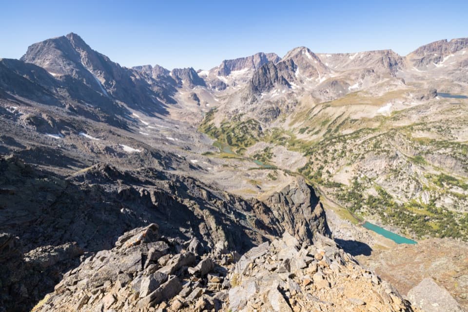 ChallengingWest Fork Trail #122 mi · 13 hr · At the trailheadWaterfalls and alpine lakes lead to an 11,045-foot pass.
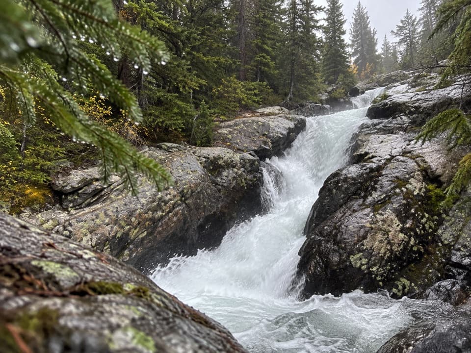 EasyCalamity and Sentinel Falls Trail4.5 mi · 2.5 hr · At the trailheadTwo waterfalls, a creekside walk, and a long open stretch early.
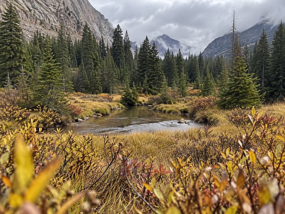 ModerateQuinnebaugh Meadows Trail9 mi · 5.5 hr · At the trailheadWaterfalls break up the long walk to a flower-filled meadow.
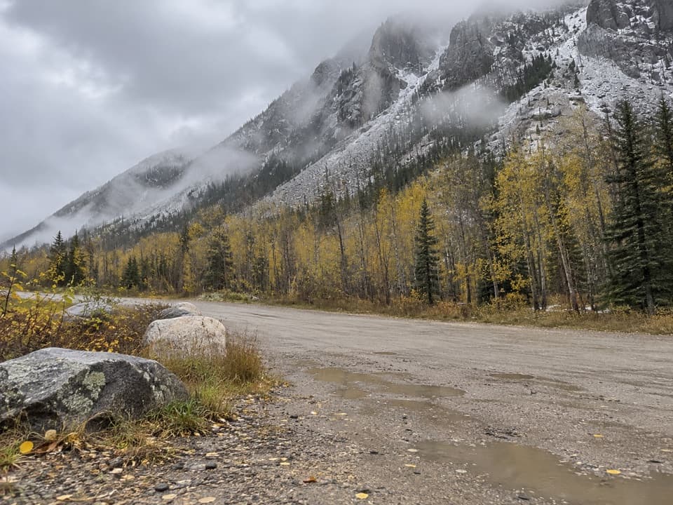 ChallengingCamp Senia Trail #167 mi · 5 hr · At the trailheadA long climb to a high-country junction and wilderness connections.
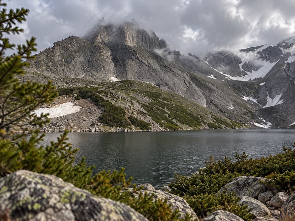 ChallengingSylvan Lake via Camp Senia Trail20.6 mi · 12 hr · At the trailheadA high-country out-and-back to Sylvan Lake via Camp Senia.
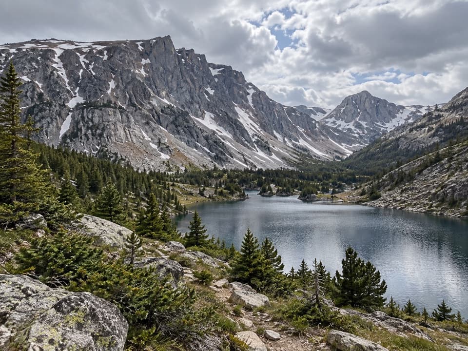 ChallengingLake Mary Trail #1B11.8 mi · 6 hr · At the trailheadLong West Fork climb to two high lakes above the valley.
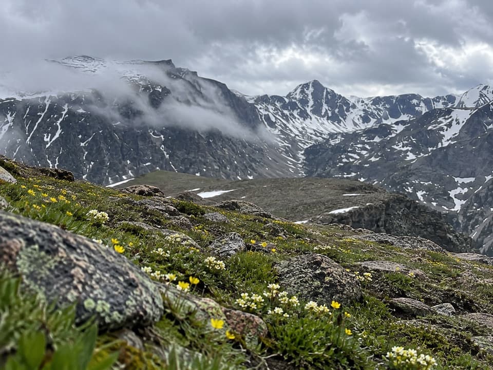 ChallengingEast Rosebud–Camp Senia Trail14.1 mi · 9.5 hr · At the trailheadA hard alpine crossing links West Fork with East Rosebud Campground.
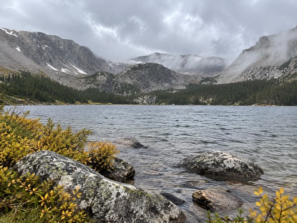 ChallengingTimberline Lake Trail9 mi · 5 hr · 1.5 mi awayTwo lakes below Silver Run Peak reward a long, steep climb.
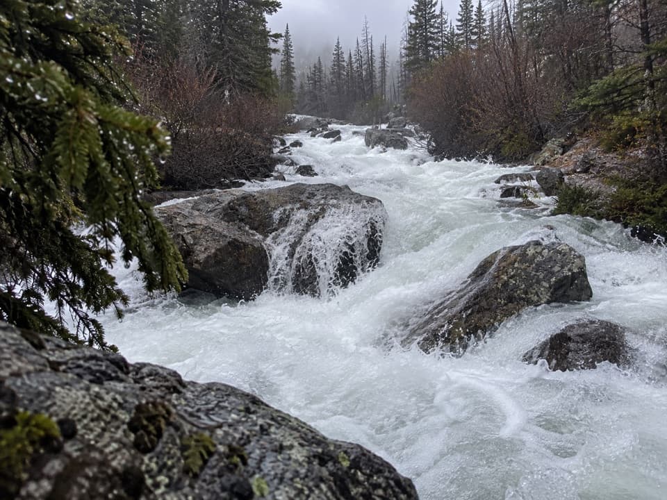 Sight · 1.3 mi awayCalamity FallsA 1.3-mile trail walk reaches falls tucked into a rocky gorge.
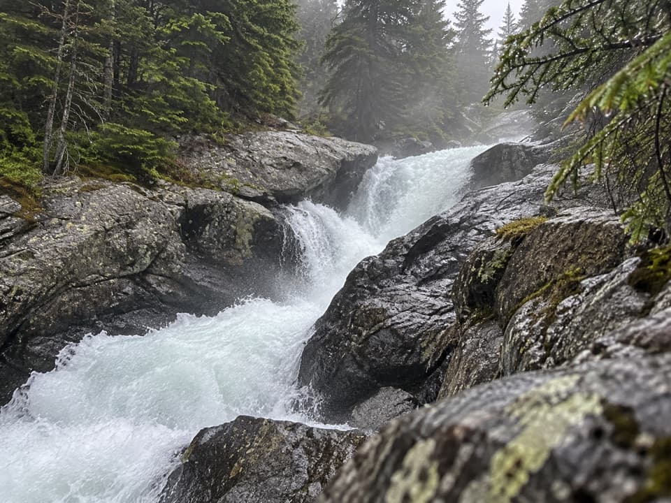 Sight · 1.8 mi awaySentinel FallsA creekside hike links Calamity Falls with Sentinel Falls.
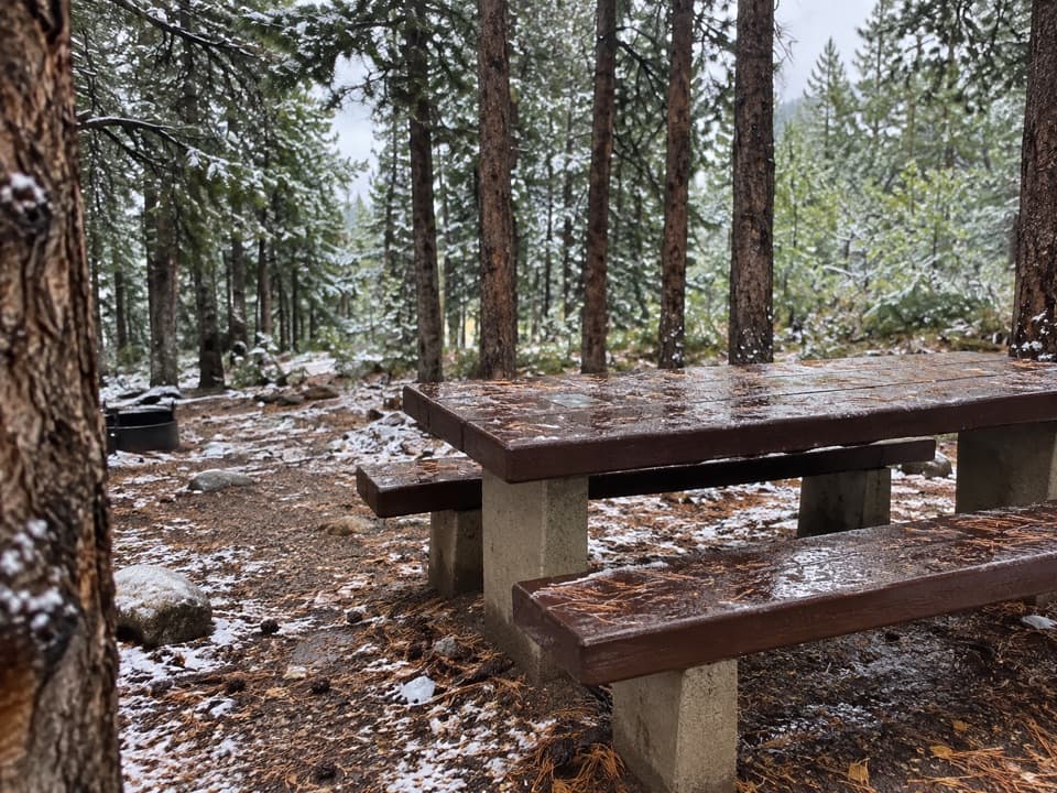 Campground · 8.6 mi awayLimber Pine CampgroundA quiet creekside base below the Beartooth switchbacks.
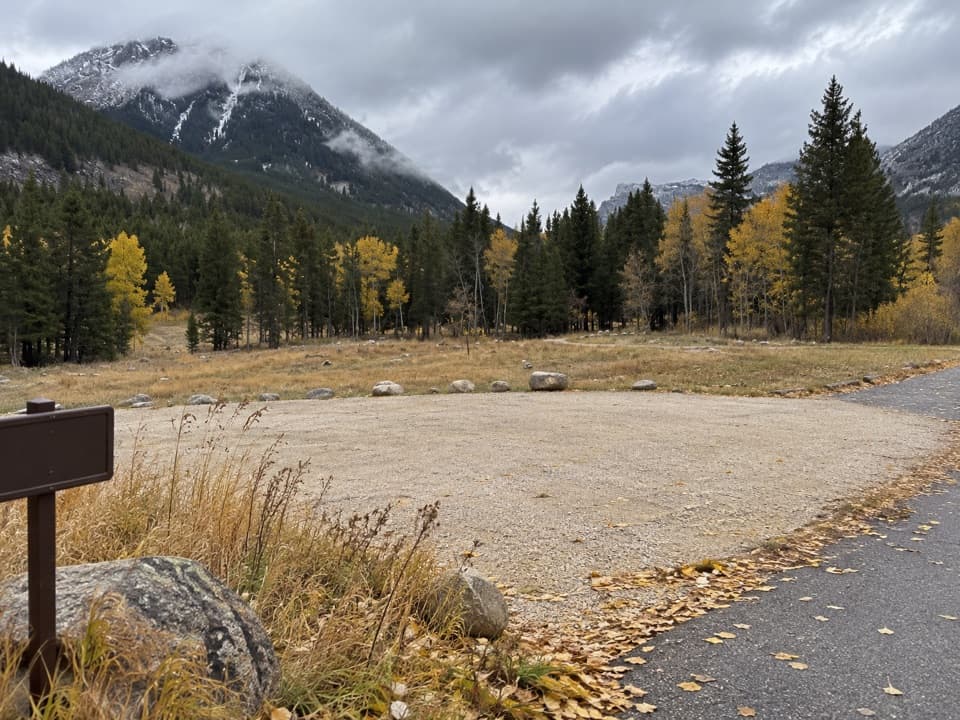 Campground · 8.7 mi awayParkside CampgroundCreekside camping near the foot of the Beartooth switchbacks.
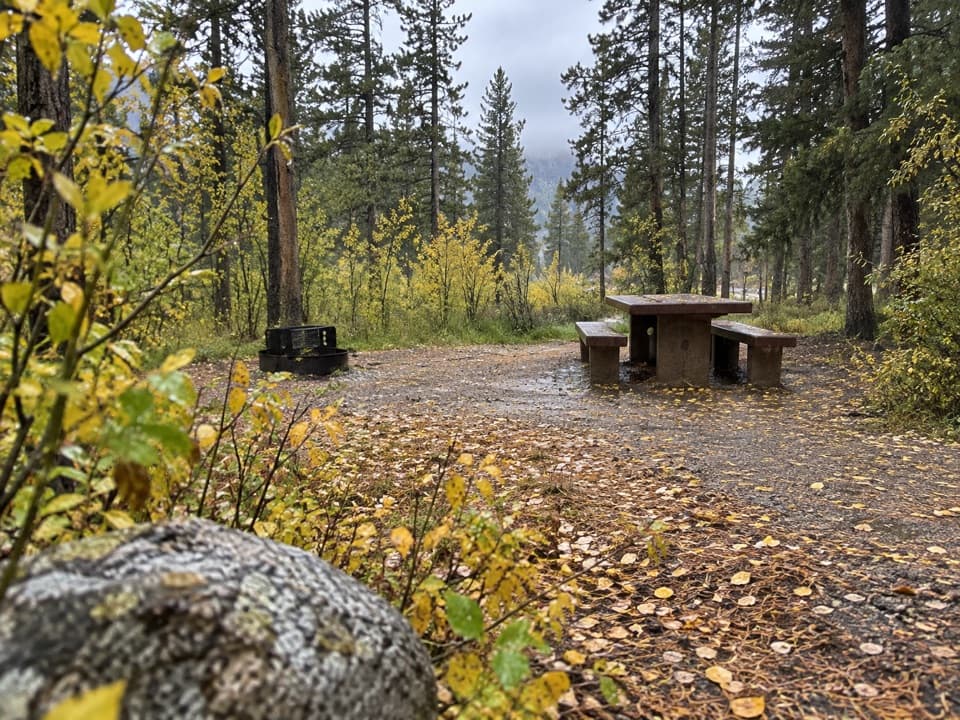 Campground · 8.8 mi awayGreenough Lake CampgroundCreekside camping, with Greenough Lake a short walk away.
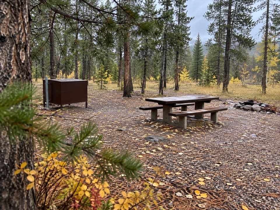 Campground · 9.6 mi awayM-K CampgroundA free creekside campground near Beartooth Highway hikes.
 Sight · 9.7 mi awayRock Creek Vista PointA short paved path opens onto a huge glacial valley.
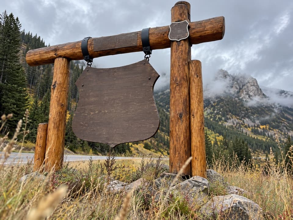 Sight · 9.8 mi awayBeartooth Highway Welcome SignA quick welcome photo before the high-country drive.
Parkwolf’s Beartooth Highway ranking

The audio tour guide for the drive, plus offline maps, trails, and wildlife heatmaps for when the signal drops.




