Parking
From US 212, take West Fork Road and follow it 11.1 road miles to the signed Timberline Trailhead on the left. The Forest Service describes ample parking, limited horse-trailer space, and a vault toilet.
Beartooth Highway, MT · WY
Two lakes below Silver Run Peak reward a long, steep climb.
Overview
Map & elevation
Plan your hike

The highest, rockiest slopes around here are a summer buffet for grizzly bears.
Beartooth Highway Tour Guide
Parkwolf is a GPS audio tour guide for Beartooth Highway. As you drive, it chimes in with what’s ahead: hidden gems, upcoming stops, history, geology, and wildlife, right through your car’s speakers.
See the Beartooth Highway audio tour“Fantastic app with many points of information… It’s great to just turn on while you’re driving and it gives you an audio tour of the national Park. We love it!!!!”


Trail guide
Timberline Trail #12 is a 9-mile out-and-back from the signed Timberline Trailhead to Timberline Lake, with Lake Gertrude along the way. The lake is about 4.5 miles from the start. Allow about five hours; the climb is roughly 2,000 feet to nearly 9,600 feet, and the steepest grade comes early. This is a hard high-country hike.
The trail starts in the area burned by the 2008 Cascade Fire and climbs through it for about three miles before returning to forest. Young lodgepole pines are growing back across the burn, though the open stretch offers limited shade and few broad views. Raspberry plants line the first mile and can fruit around mid-August. Timberline Creek becomes audible near the one-mile mark; the first couple miles are dry, with creek crossings higher up.
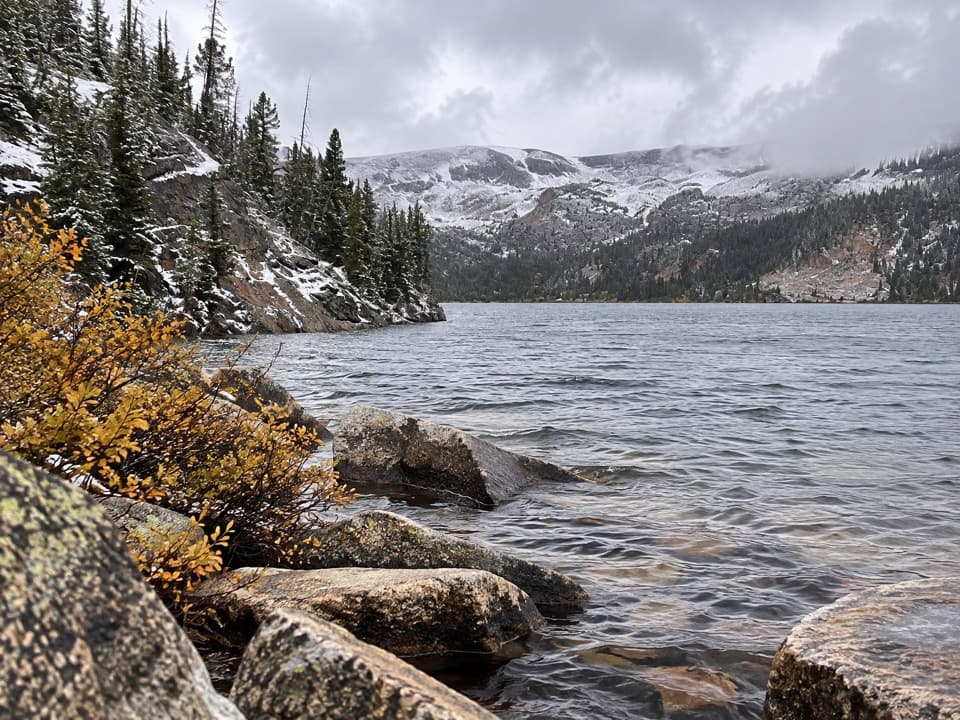
At about three miles, Trail 12 meets Beartrack Trail #8. Stay straight on Trail 12 for Timberline Lake; Beartrack heads toward Silver Run Lakes and the plateau. Near mile four the route enters the Absaroka-Beartooth Wilderness and reaches Lake Gertrude. Turning around there makes an approximately 8-mile round trip and skips the final lake basin.
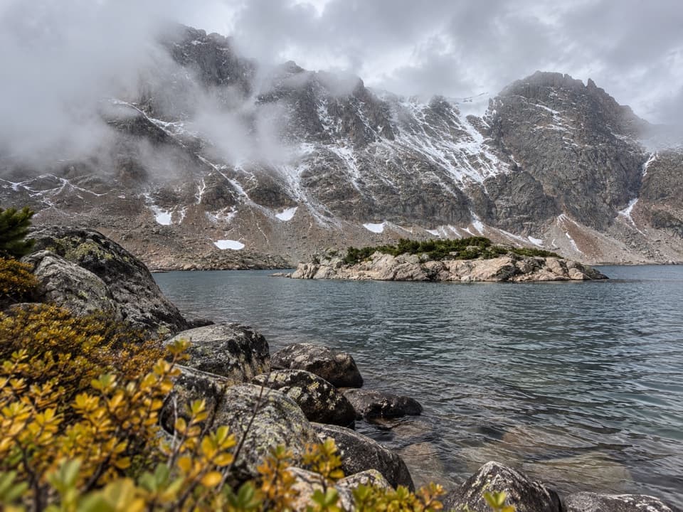
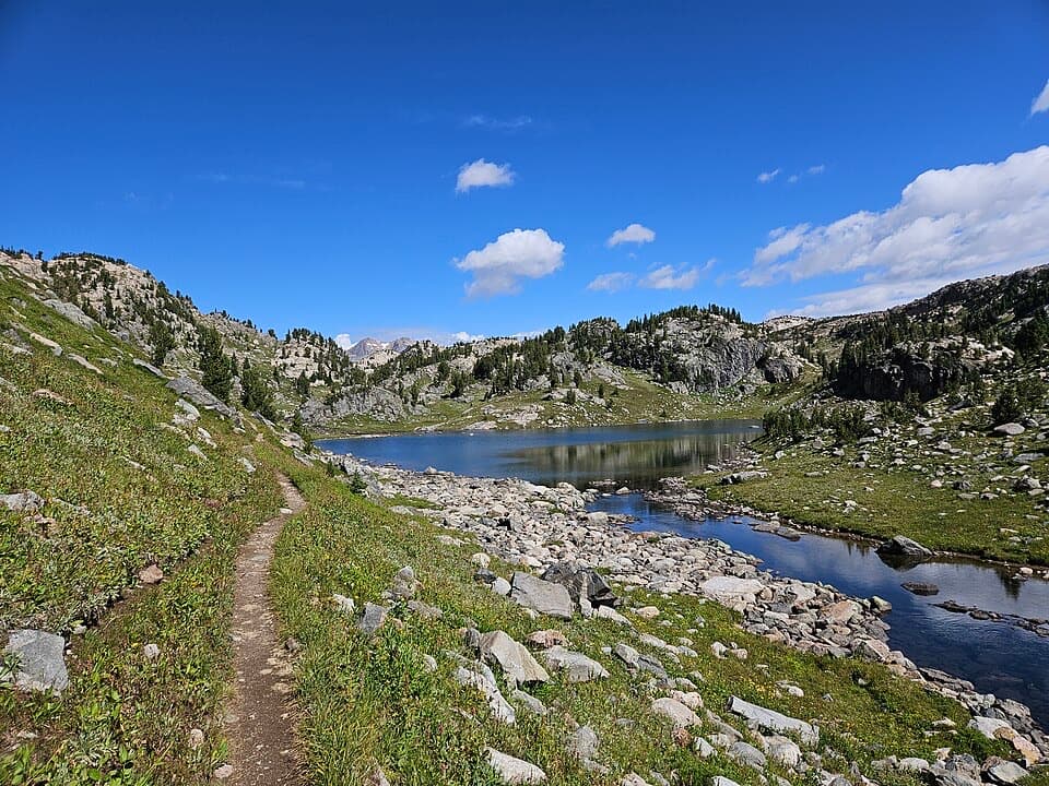
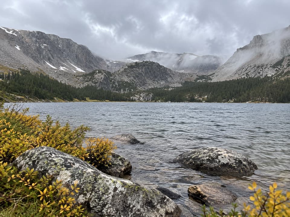
Timberline Lake appears around mile 4.5 beneath Silver Run Peak and Silver Run Plateau. Steep rock walls, jagged outcrops, lingering snowfields, and a cascade entering from the west frame the basin. The tread fades near the lake, so treat it as the turnaround and return on Trail 12. From the shore, include both the water and the enclosing rock walls for a sense of the basin's scale.
West Fork Road leads to the signed Timberline Trailhead; the Forest Service directions give 11.1 road miles from US 212. The lot has ample parking, limited room for horse trailers, and a vault toilet. The Forest Service does not list potable water for the drainage. Its page does not state a dog rule, so confirm that with the ranger district before bringing a pet.
Wildlife
 42 sightingsGrizzly BearMost seen around 7 AMSighting map
 22 sightingsGray WolfMost seen around 6 AMSighting map
 49 sightingsBisonMost seen around 6 AMSighting map
 122 sightingsMooseMost seen around 6 AMSighting map
 260 sightingsMountain GoatMost seen around 7 AMSighting map
 16 sightingsBighorn SheepMost seen around 7 PMSighting map
Sighting maps show where each species has been reported across Beartooth Highway. Wildlife moves, so no sighting is guaranteed.
Keep exploring
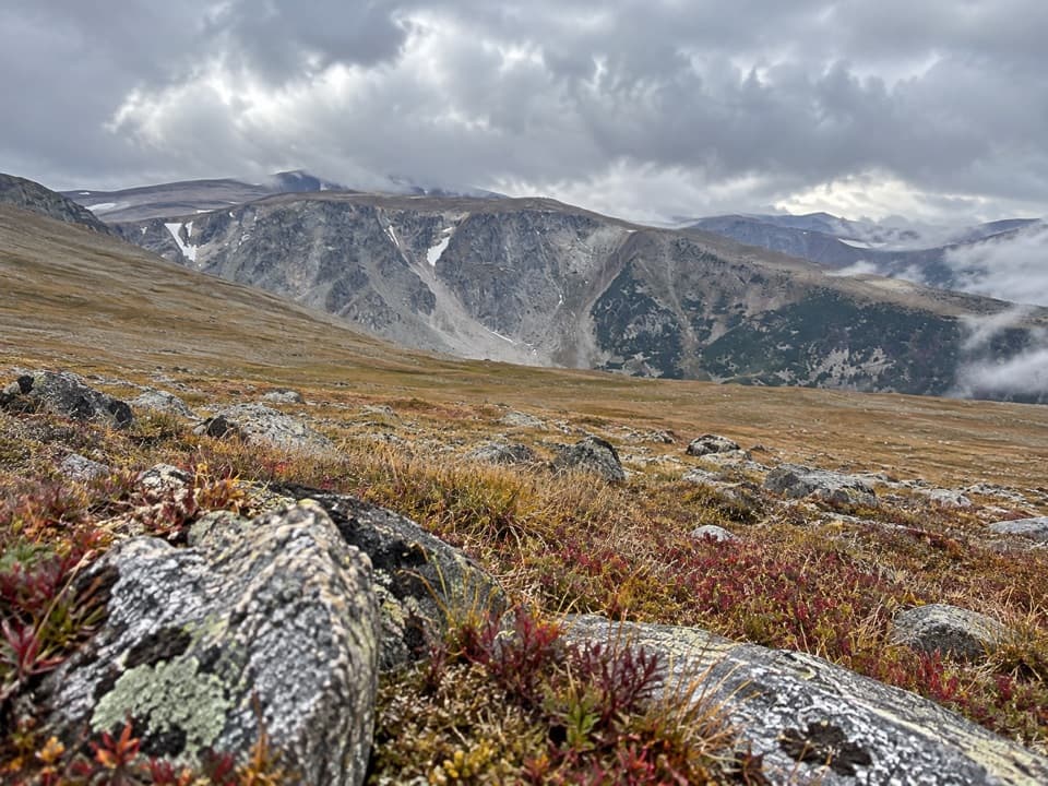 ChallengingSilver Run Plateau Trail via Timberline11.8 mi · 8 hr · At the trailheadAn 11.8-mile climb from Timberline Trailhead to alpine tundra.
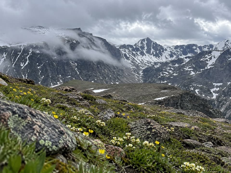 ChallengingEast Rosebud–Camp Senia Trail14.1 mi · 9.5 hr · 1.5 mi awayA hard alpine crossing links West Fork with East Rosebud Campground.
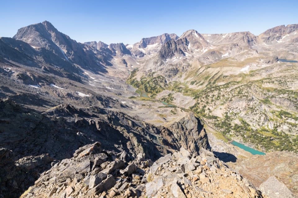 ChallengingWest Fork Trail #122 mi · 13 hr · 1.5 mi awayWaterfalls and alpine lakes lead to an 11,045-foot pass.
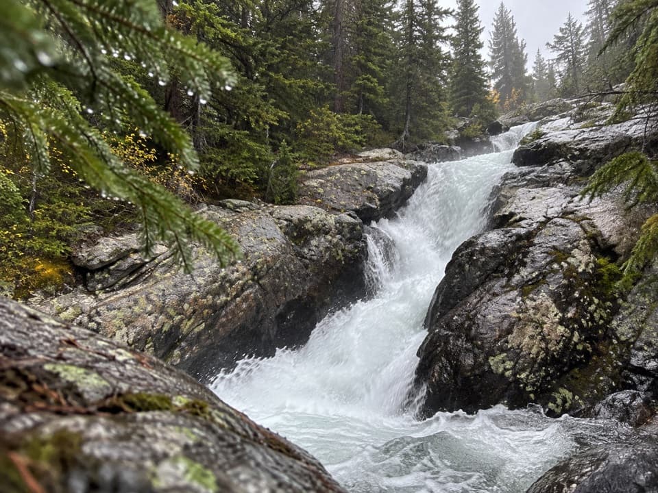 EasyCalamity and Sentinel Falls Trail4.5 mi · 2.5 hr · 1.5 mi awayTwo waterfalls, a creekside walk, and a long open stretch early.
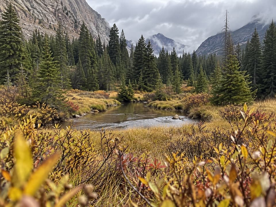 ModerateQuinnebaugh Meadows Trail9 mi · 5.5 hr · 1.5 mi awayWaterfalls break up the long walk to a flower-filled meadow.
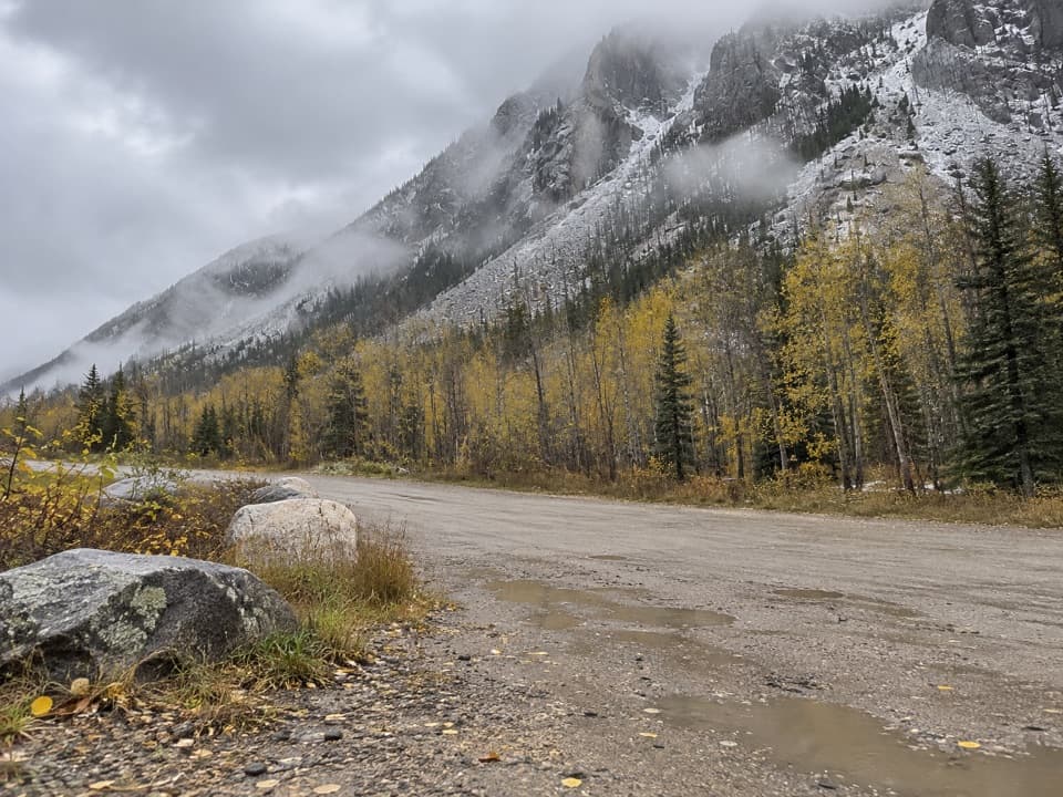 ChallengingCamp Senia Trail #167 mi · 5 hr · 1.5 mi awayA long climb to a high-country junction and wilderness connections.
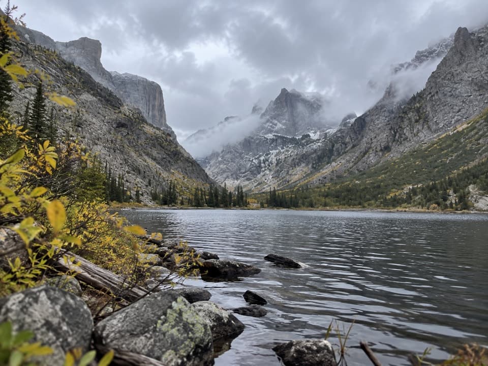 ChallengingCrow Lake via Camp Senia Trail17.2 mi · 10 hr · 1.5 mi awayA long backcountry climb to Crow Lake's granite cirque.
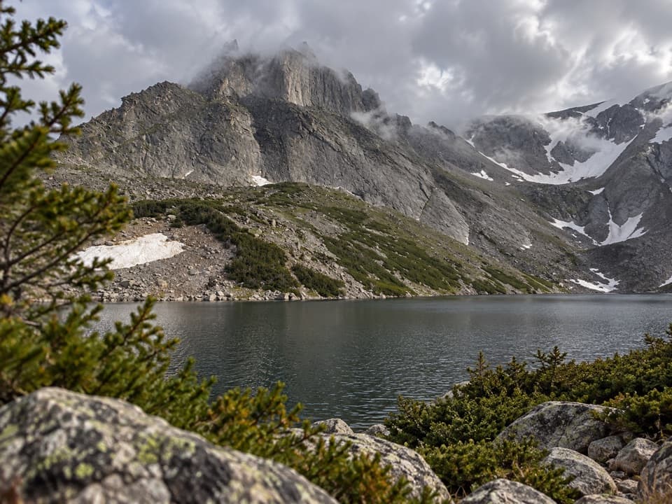 ChallengingSylvan Lake via Camp Senia Trail20.6 mi · 12 hr · 1.5 mi awayA high-country out-and-back to Sylvan Lake via Camp Senia.
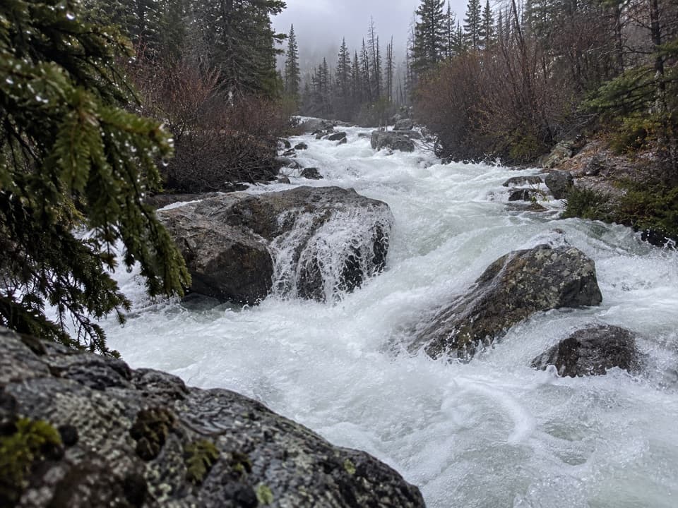 Sight · 2.8 mi awayCalamity FallsA 1.3-mile trail walk reaches falls tucked into a rocky gorge.
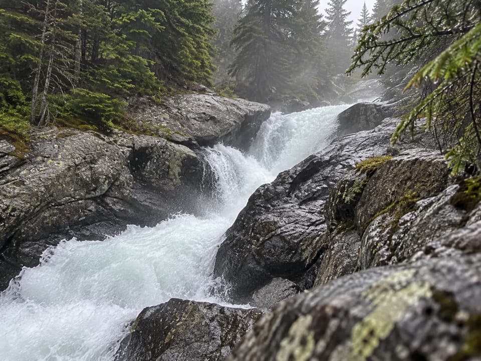 Sight · 3.3 mi awaySentinel FallsA creekside hike links Calamity Falls with Sentinel Falls.
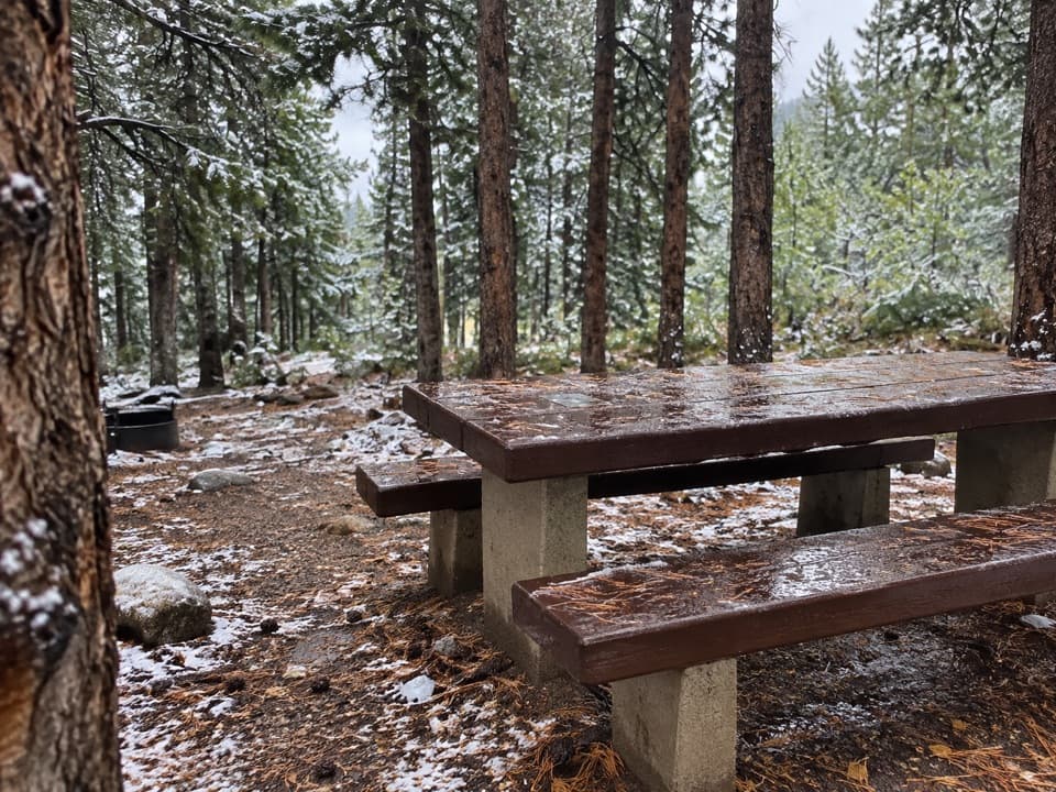 Campground · 8.2 mi awayLimber Pine CampgroundA quiet creekside base below the Beartooth switchbacks.
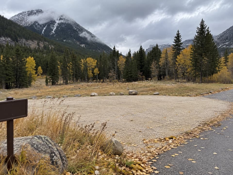 Campground · 8.2 mi awayParkside CampgroundCreekside camping near the foot of the Beartooth switchbacks.
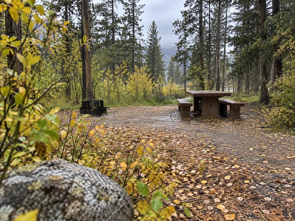 Campground · 8.3 mi awayGreenough Lake CampgroundCreekside camping, with Greenough Lake a short walk away.
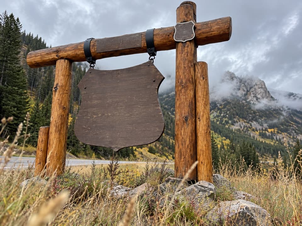 Sight · 8.8 mi awayBeartooth Highway Welcome SignA quick welcome photo before the high-country drive.
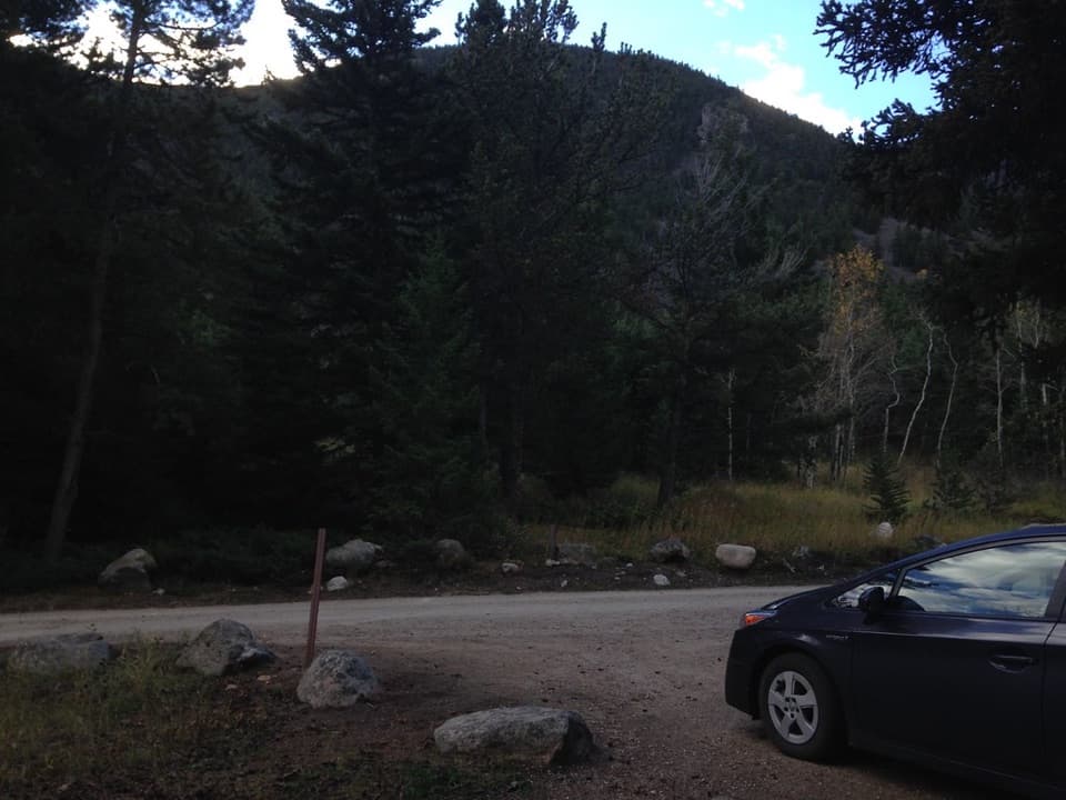 Campground · 8.9 mi awayRattin CampgroundSeven wooded, creekside sites make a practical overnight near Red Lodge.
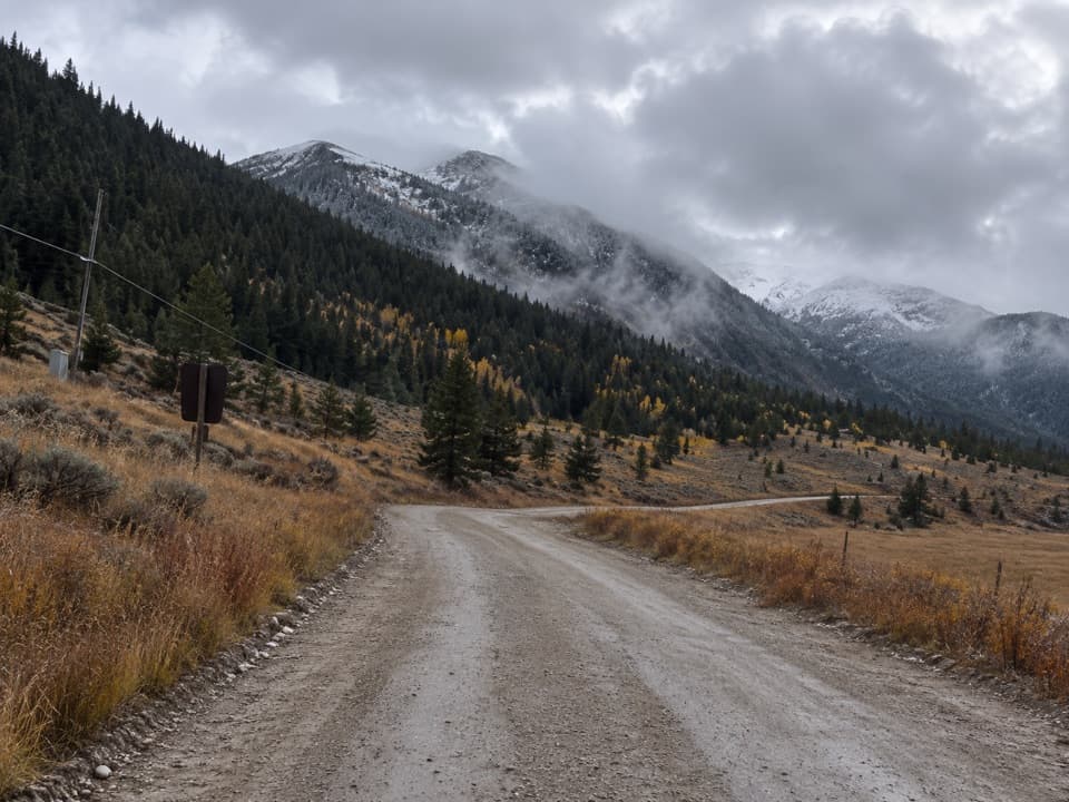 Campground · 9.1 mi awaySheridan CampgroundNine creekside sites make a quiet base for fishing and hiking.
Parkwolf’s Beartooth Highway ranking

The audio tour guide for the drive, plus offline maps, trails, and wildlife heatmaps for when the signal drops.