
Place · 0.3 mi away
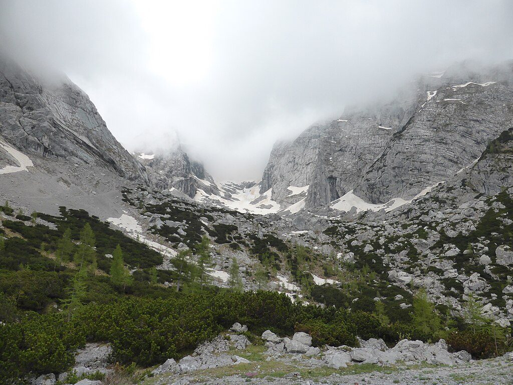
Cradled between Blaueisspitze, Hochkalter, and Kleinkalter, the Blaueis Glacier sits in a stark, amphitheater‑like cirque—blue ice, shattered limestone, and big mountain energy. It’s the northernmost glacier in the Alps, but also a shrinking one: by 2007, radar measured only up to ~13 feet of ice with the upper glacier largely detached from lower dead‑ice remnants.
You’re walking through the Northern Limestone Alps—brittle Ramsau dolomite low down, massive Dachstein limestone higher up. These rocks began as Tethys Ocean seafloor, later heaved skyward; you may spot oversized bivalve fossils (megalodonts) in the limestone bands. The combination of crumbly dolomite and steep limestone walls explains the vast debris and frequent late‑season looseness.
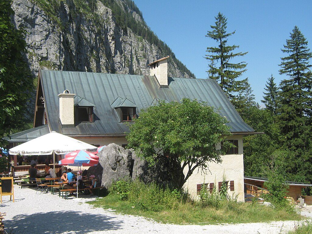
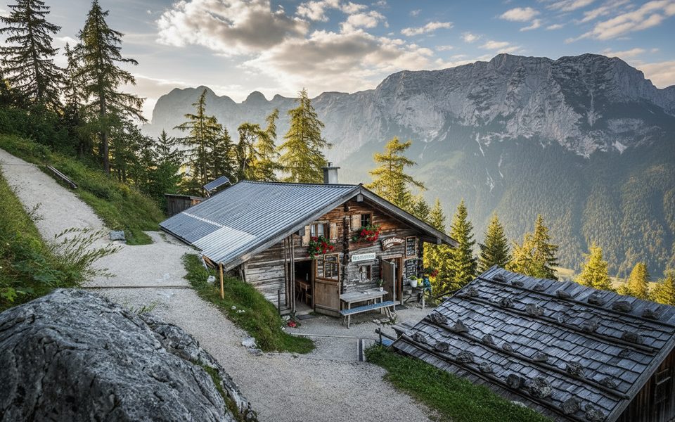
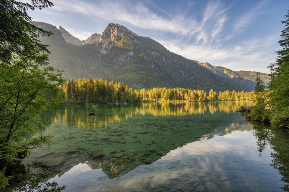
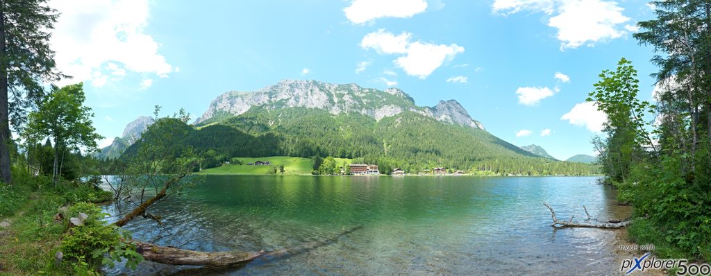
Most hikers start at Hintersee’s Seeklause car park and climb past Schärtenalm to the Blaueishütte (about 1,651–1,680 m). Expect a challenging outing: roughly 7–10.5 miles round‑trip, 861–1,100 m of gain, and 3–5 hours just to reach and return from the hut, with the trail growing steeper and rockier above the pasture. Public transport is an option: train to Berchtesgaden, then bus toward Hintersee (line 846).
From the hut terrace, the glacier and the high walls of Hochkalter dominate the view. A short path over boulders leads closer to the ice floor. On lucky days, look for chamois picking their way across ledges or a golden eagle circling high above.
The hut typically operates in the snow‑free months (roughly May–October); outside that window, don’t count on services. Conditions swing fast here. Earlier melt now exposes hard firn and ice sooner; warm afternoons in late summer can loosen rock and glaze the gully with black ice. The upper glacier steepens to around 55°. If you’re aiming for the classic climb via the Blaueis gap toward Hochkalter, the second half of June is often friendlier thanks to seasonal snow bridges; later in the year the gully widens and hardens.
This is a protected alpine zone: stay on marked paths, pack out all waste, don’t pick plants, keep noise down, and leave the drone at home. Wild camping and open fires aren’t permitted. Dogs are generally not allowed on the Blaueishütte trail.
For a straightforward hike and clear views, aim for late spring through early autumn. Start early: the cirque’s north‑facing shade keeps surfaces cold while reducing afternoon rockfall risk, and you’ll have more margin if conditions turn.
Place · 0.3 mi away
Place · 1.4 mi away
Place · 1.4 mi away
Place · 1.6 mi away
Moderate · 1.9 mi away
Easy · 2.2 mi away
Easy · 2.3 mi away
Moderate · 2.8 mi away

Parkwolf Tour Guide
