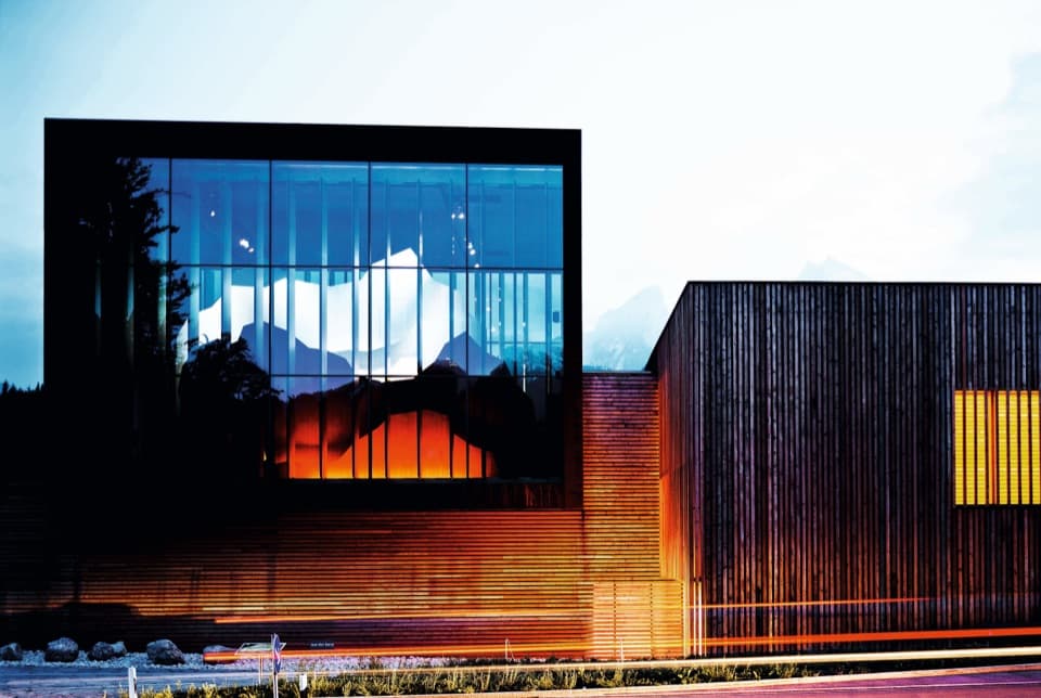
Schärtenalm in Berchtesgaden National Park

Restaurant · Berchtesgaden National Park

Schärtenalm

A proper uphill hut stop for homemade cake and big mountain views.

Photo: Wikimedia Commons
Type
Restaurant
Nearest trail
1.4 km
Audio stories
8 nearby
  • Food
  • Scenic viewpoint

Hear the audio tour

Seeklause: The Climb to Blaueishütte

Overview

About Schärtenalm

Why stop

  • Generous homemade cakes and a memorable alpine terrace view.
  • A satisfying destination as well as a break on the Blaueishütte route.

Heads up

  • Reaching it takes an uphill hike; it is not a roadside stop.
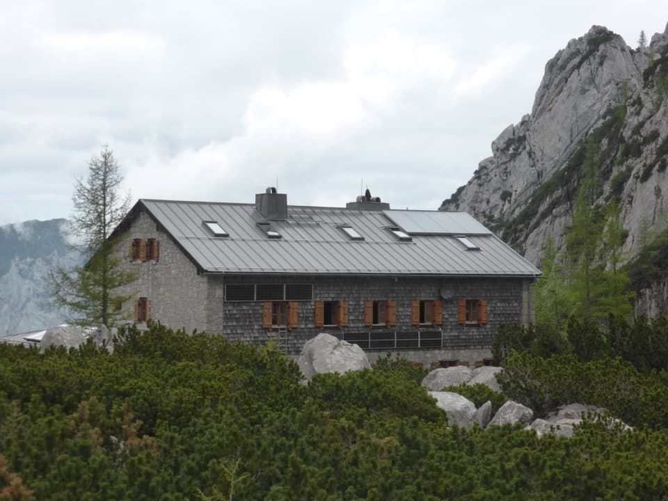
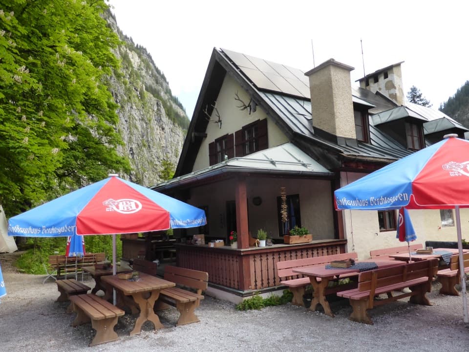
Schärtenalm is a seasonal alpine hut and restaurant at 1,359 m, about halfway along the uphill route from Hintersee to Blaueishütte. It makes a welcome meal stop, and it works as a destination in its own right if you want the hut and mountain setting without continuing higher. This is a hike, not a roadside café.
Parkwolf’s verdictA worthwhile stop on the climb

Map

Where it is

Loading the Berchtesgaden map
Full map
RestaurantSchärtenalm47.59574, 12.87257
Keep this map with you offline in the Parkwolf app

Plan your stop

Before you go

2 active Berchtesgaden alerts

  • ClosureKlausbachtal trail closuresTwo Klausbachtal trail sections are closed; use the Hirschbichlstraße (St 2099) to bypass them. - Trail No.Official details
  • ClosureKönigsbach Waterfall Gumpen area closedThe wide area around the “Gumpen” pools at Königsbach Waterfall is closed to visitors to protect recovering vegetation.Official details

Berchtesgaden alerts
A park ranger sits on a dash-mounted phone, talking, as Parkwolf’s Tour Guide plays “Army Cutworm Moths: A Grizzly Bear Buffet” on Grand Loop Road below Dunraven Pass in Yellowstone
Parkwolf Tour GuideThe highest, rockiest slopes around here are a summer buffet for grizzly bears.

Berchtesgaden Tour Guide

Your drive to Schärtenalm, narrated.

Parkwolf is a GPS audio tour guide for Berchtesgaden National Park. As you drive, it chimes in with what’s ahead: hidden gems, upcoming stops, history, geology, and wildlife, right through your car’s speakers.

Recorded for this place

Seeklause: The Climb to Blaueishütte
0:00 / 0:27
“Seeklause is ahead, the start of the Blaueishütte hike into the rocky basin beneath Hochkalter. The payoff is a mountain hut beneath the Blaueis glacier and towering limestone walls.”

Plays as you drive up to Schärtenalm in the Parkwolf Berchtesgaden Tour Guide.

More stories near here in the app

  • Measuring the Watzmann
  • A Chamois’s Grip
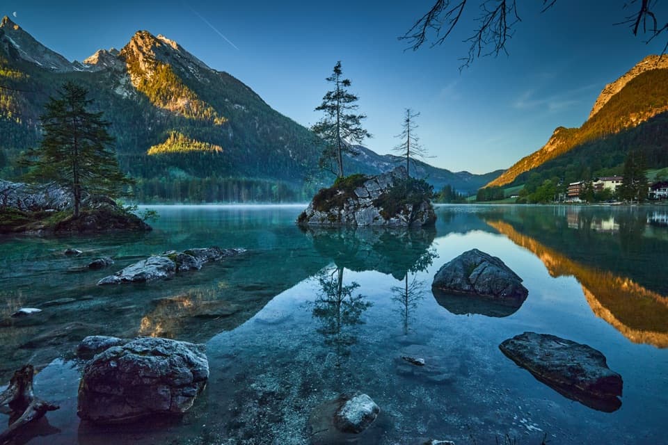
  • Hintersee and the Boulder Forest
  • How Trees Hold the Snow
  • 25 audio storiesacross Berchtesgaden’s roads, triggered by GPS as you drive
  • Wildlife heatmapsfor Bearded Vulture, Golden Eagle, Red Deer, and 13 more
  • Works offlinemaps, 71 trails, 57 places, and audio download before you lose signal
  • CarPlay readysimple controls built for the drive
★★★★★
“Fantastic app with many points of information… It’s great to just turn on while you’re driving and it gives you an audio tour of the national Park. We love it!!!!”
JMJamesApp Store review
Download Parkwolf on the App StoreGet Parkwolf on Google Play

4.7 from 8,600+ ratings

Guide

More about Schärtenalm

What to eatThe hut serves alpine snacks, drinks and homemade cakes, known for their generous slices.

The hut serves alpine snacks, drinks and homemade cakes, known for their generous slices. Kaiserschmarrn is another favorite. Breakfast is available by reservation, so check ahead if you want to plan around it.

Walking inFollow yellow-marked trail 482 from Seeklause by Hintersee.

Follow yellow-marked trail 482 from Seeklause by Hintersee. There’s parking at Seeklause, and buses on RVO lines 845 and 846 stop at Hintersee/Zauberwald. The path continues uphill to Blaueishütte and demanding high-alpine routes; the Alm sits roughly halfway, so it’s a good place to decide whether you want the extra climb. The hut is seasonal, so check its current opening dates before setting out.

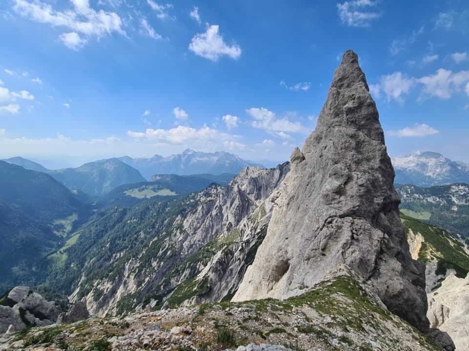
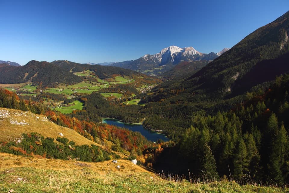
Views from the terraceFrom the hut, look back toward Hintersee, the Reiter Alm massif and Ramsau Valley.

From the hut, look back toward Hintersee, the Reiter Alm massif and Ramsau Valley. The terrace also faces into the Blaueis basin beneath the Hochkalter peaks, giving the meal a proper high-mountain setting.

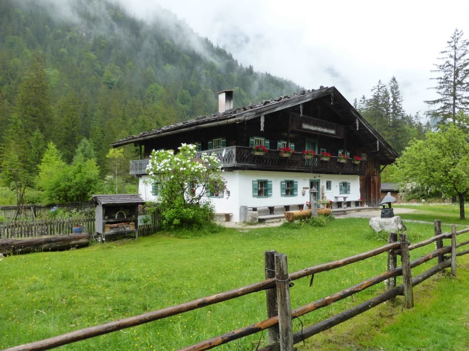
A Kaser with a long history“Kaser” is the local word for an alpine hut. This one was recorded as “Scherschen” in 1495.

“Kaser” is the local word for an alpine hut. This one was recorded as “Scherschen” in 1495. The Graßl family acquired the pasture in 1911, and the hut began serving guests in 1935. It gained an upper storey in 1924; otherwise, it has seen only small changes.

Wildlife

Wildlife in Berchtesgaden

All Berchtesgaden wildlife maps

Sighting maps show where each species has been reported across Berchtesgaden. Wildlife moves, so no sighting is guaranteed.

Keep exploring

Near Schärtenalm

See it all on the map

Trails nearby

More stops nearby

Parkwolf’s Berchtesgaden ranking

Top sights in Berchtesgaden

All 57 places
  1. 1KönigsseeSight
  2. 2St. Bartholomä Pilgrimage ChurchSight
  3. 3OberseeSight
  4. 4WimbachklammSight
  5. 5Haus der BergeSight
  6. 6HinterseeSight

Take Parkwolf to Berchtesgaden.

The audio tour guide for the drive, plus offline maps, trails, and wildlife heatmaps for when the signal drops.

4.7 from 8,600+ ratings

Download Parkwolf on the App StoreGet Parkwolf on Google Play