
Place · 0.3 mi away
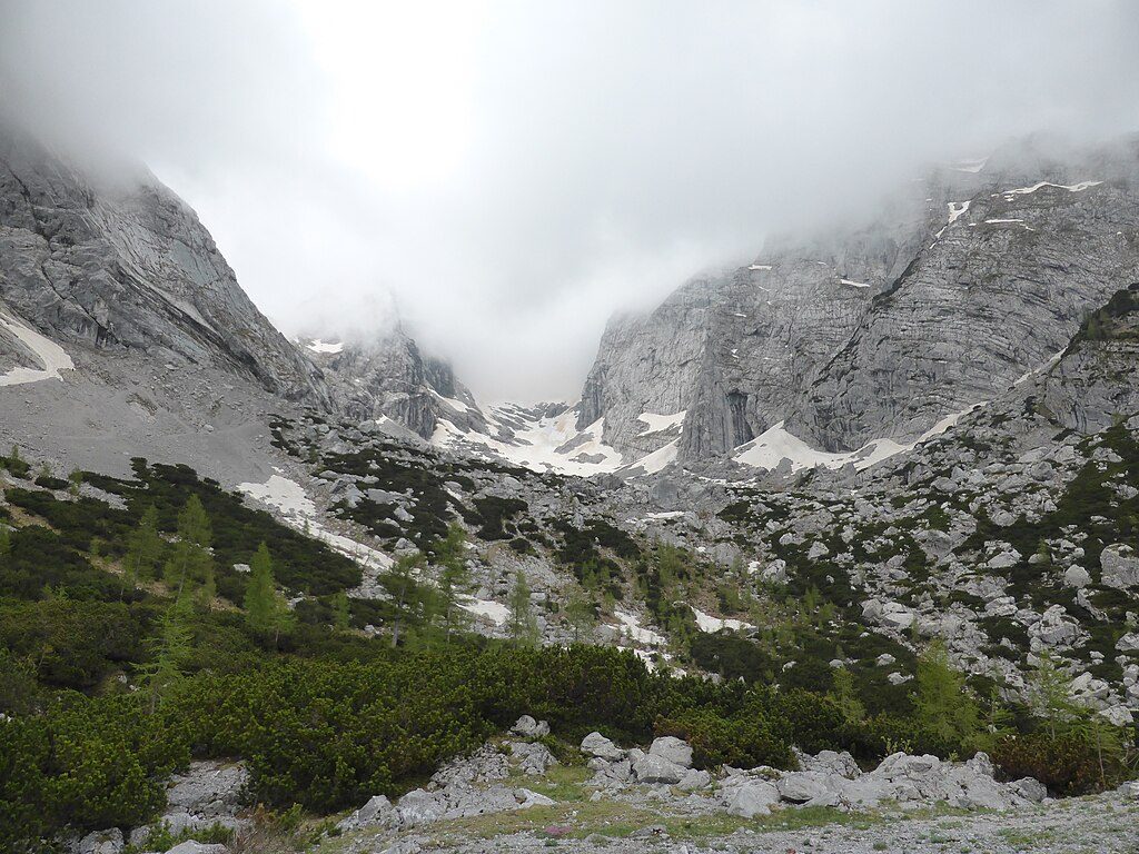
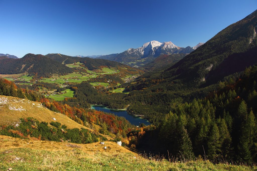
Hochkalter (2,607 m) is the rugged high point of its range, facing the Watzmann across the broad Wimbachgries. It’s an alpine objective—airy, committing, and incredibly rewarding if you’ve got the skills. Below the north side sits Blaueis, the northernmost glacier in the Alps, now much reduced but still a striking presence.
Expect classic Northern Limestone Alps: hard Dachstein limestone up high and brittle Ramsau dolomite that breaks into grus, feeding the deep Wimbachgries debris stream. The massif has a history of major rock‑slips (notably in 1908 and the 1950s), a good reminder to wear a helmet and keep route choices conservative when it’s warm or thawing.
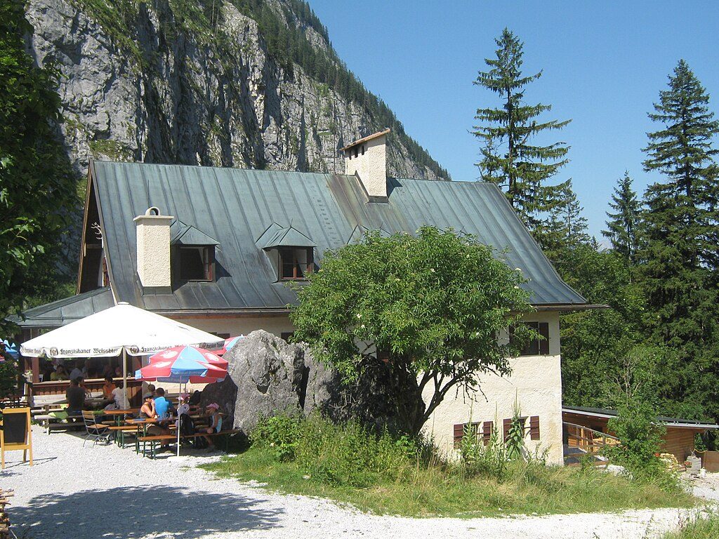
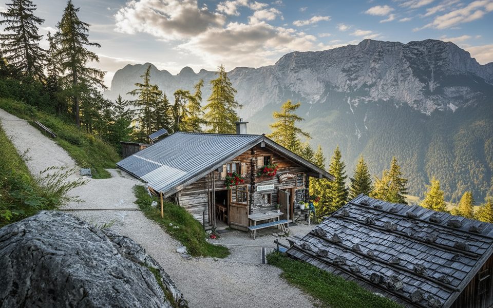
Blaueishütte (~1,650–1,680 m) is the key base, reached in 2.5–3 hours from Hintersee. It offers meals, overnight spots, a drying room, washrooms with cold water, hot showers for a fee, and even paid Wi‑Fi; breakfast is early, warm kitchen runs midday, and a set dinner is served in the evening. Other area huts (Schärtenalm, Wimbachgrieshütte, Hirschbichl) can support alternative approaches—check seasonal openings and book ahead.
Most parties start from the Hintersee area. There’s a large hiking car park (fee; noted as 7 EUR/day in 2020) and an alternative free “wood storage yard” a short walk away. Public transport reaches Hintersee via bus from Berchtesgaden. Don’t count on toilets at trailheads—use facilities at huts or restaurants along the way.
This is black‑level mountain terrain in sections: narrow, steep, and exposed with fall potential. Surefootedness, a head for heights, and solid fitness are essential. Carry helmet, sturdy boots, layers, rain/wind protection, food, water, and navigation; add crampons and an ice axe for the glacier or shoulder seasons. Stay on marked paths, leash dogs, keep noise down, no fires or camping/bivouacking, no drones, and pack out your trash.
Chamois and marmots are the headline sightings here. Give them space, stick to trails, and keep dogs under control so the alpine fauna stays relaxed.
Outside these windows, expect winter conditions, potential avalanche risk, and hut closures. Most parties make this a two‑day outing with a night at Blaueishütte; early starts help with both crowds and rockfall timing.
If weather or conditions shut down the summit, consider Schärtenspitze from Blaueishütte, a Wimbachgries valley day for jaw‑dropping geology, or easier panoramic trails elsewhere in the park.
Place · 0.3 mi away
Place · 1.4 mi away
Place · 1.7 mi away
Place · 1.8 mi away
Moderate · 2.1 mi away
Easy · 2.5 mi away
Easy · 2.5 mi away
Moderate · 3 mi away

Parkwolf Tour Guide
