
Place · 1.5 mi away
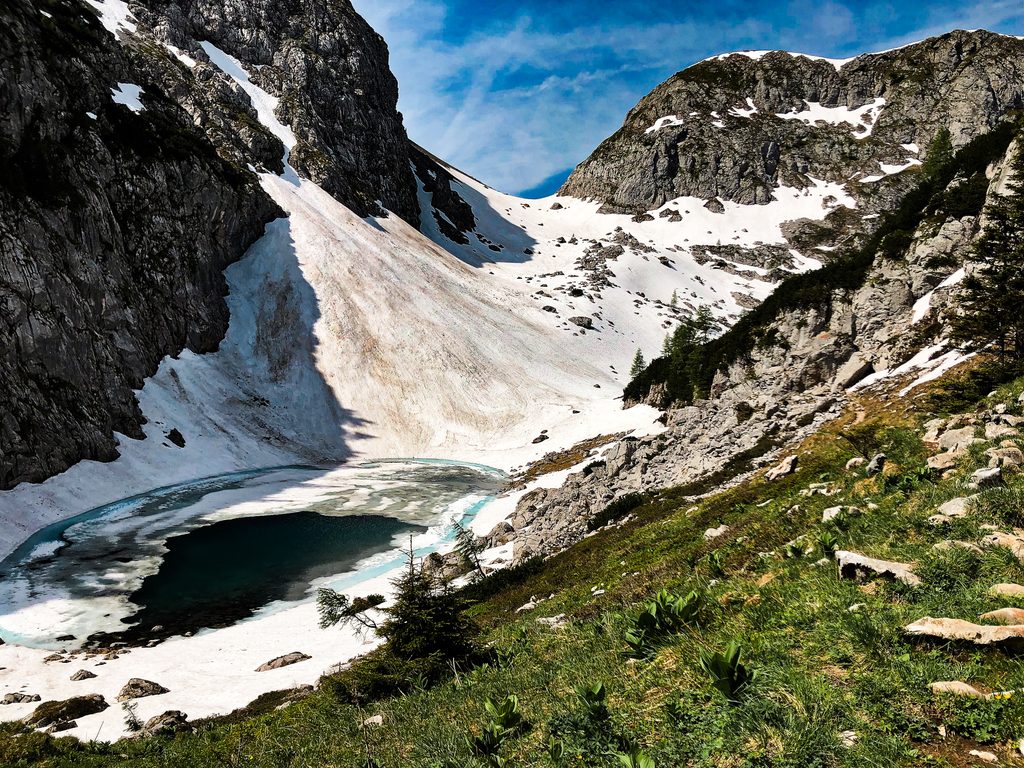
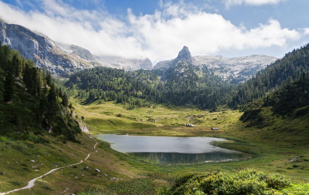
Tucked into the Hagengebirge at about 1,809 m, Seeleinsee is a small, high‑alpine lake you pass on the renowned Kleine Reibn (and larger Große Reibn) circuits. It’s a quiet basin of limestone and karst terrain—perfect for a breather mid‑loop and, on hot days, a brisk dip.
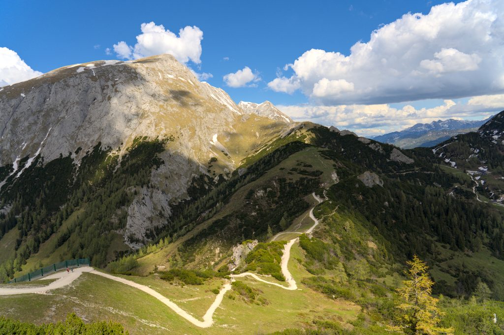
Most hikers reach it on the Kleine Reibn. Common starts are the Hinterbrand parking area or via the Jennerbahn to the mountain station before traversing toward the Schneibstein area and down to the lake, then out past Priesbergalm. The loop variant using the gondola typically runs around 16 km, 6.5–7 hours, with substantial elevation gain and loss, and includes sections classed as demanding mountain trail with exposure and risk of falling.
There are no services here—no toilets, trash bins, water taps, or public shelters. A nearby mountain rescue hut exists but isn’t open to visitors. The water is notably clear and of drinking‑water quality, and some hikers take a quick swim in summer. Treat the shore gently and pack out everything you bring.
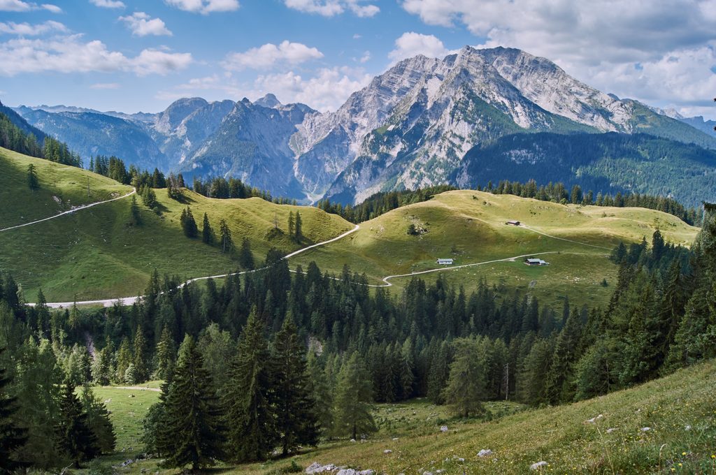
This is classic Northern Limestone Alps country: karst plateaus, sinkholes, sparse soils, and small cirque‑like basins that collect water into jewel‑tone tarns like Seeleinsee. You’re in a protected area—keep distance from wildlife and stay on marked paths.
June–October is the sweet spot. Snow can linger on higher paths into late July, and summer afternoons can bring thunderstorms—start early. Outside that window, conditions turn wintry and the route can be hazardous; lifts may undergo maintenance around late fall. For the calmest experience, go on a weekday morning; midday light suits photos of the lake’s clear water.
Standard trailhead: Hinterbrand (paid parking). Many hikers also use the Jennerbahn for the ascent and/or descent; valley facilities and staffed huts (when open) are the only reliable places for restrooms.
Place · 1.5 mi away
Place · 1.6 mi away
Place · 1.7 mi away
Place · 2.1 mi away
Challenging · 1.6 mi away
Easy · 2.7 mi away
Moderate · 2.7 mi away
Challenging · 2.7 mi away

Parkwolf Tour Guide
