Best time to go
Treat the restaurant as a seasonal stop: it closes in winter and can shut when the weather forecast is poor. Check the operator’s current notice before building a hike around a meal.
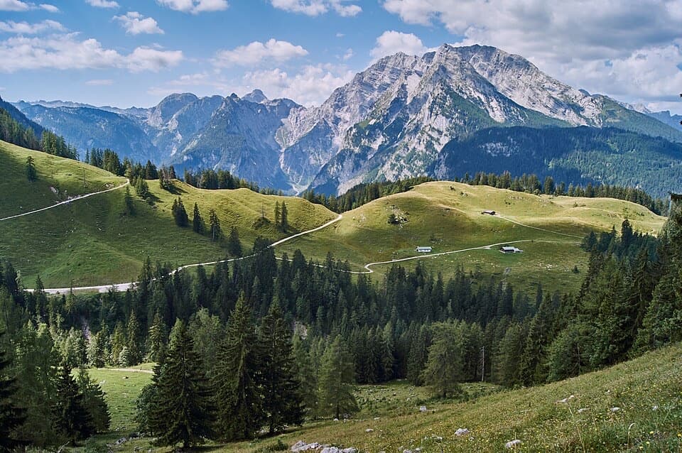
Restaurant · Berchtesgaden National Park
Break up the Königssee climb with homemade cake at this alpine pasture.
Overview
Map
Plan your stop

The highest, rockiest slopes around here are a summer buffet for grizzly bears.
Berchtesgaden Tour Guide
Parkwolf is a GPS audio tour guide for Berchtesgaden National Park. As you drive, it chimes in with what’s ahead: hidden gems, upcoming stops, history, geology, and wildlife, right through your car’s speakers.
Recorded for this area
Jennerbahn: Ride Up for Königsblick“You're nearing the Jennerbahn valley station, where the gondola takes you high above Königssee. I'd choose this on a clear day, when you can enjoy the lake and the Watzmann across it.”
Plays on the road 3.2 km from Königsbachalm in the Parkwolf Berchtesgaden Tour Guide.
More stories near here in the app
“Fantastic app with many points of information… It’s great to just turn on while you’re driving and it gives you an audio tour of the national Park. We love it!!!!”


Guide
Königsbachalm is an alpine pasture and mountain restaurant below Jenner, on the hiking route between Königssee and the pastures of Hagengebirge. It works best as a destination or a break on a longer hike. From Königssee, the climb on Hochbahnweg takes about 1½ hours. A shorter, relatively level approach follows Königsweg from the Jennerbahn middle station.
On days it’s open, hikers can settle in the beer garden or indoor Stüberl for cold drinks, house-made Brotzeit and homemade cakes. This is a good snack stop, but there’s no overnight accommodation. Dogs can join you in the beer garden, not inside; National Park rules require them to stay leashed and their waste to be carried out.
Königsbachalm is the lower pasture in a pair with Priesbergalm. Cattle graze here at the start and end of the season, then move higher to Priesbergalm for the height of summer. The shifts are part of the local alpine-farming rhythm, not just scenery around the hut.
Marmots live in these meadows; locally they’re called Mankein. Some burrow entrances sit only a few metres from the hiking path. The national park also offers guided marmot walks here, though sightings are never guaranteed.
Wildlife
 15 sightingsBearded VultureMost seen around noonSighting map
 31 sightingsGolden EagleMost seen around noonSighting map
 22 sightingsRed DeerMost seen around 6 PMSighting map
 132 sightingsAlpine ChamoisMost seen around 5 PMSighting map
 65 sightingsAlpine SalamanderMost seen around 11 AMSighting map
 63 sightingsAlpine MarmotMost seen around 9 AMSighting map
Sighting maps show where each species has been reported across Berchtesgaden. Wildlife moves, so no sighting is guaranteed.
Keep exploring
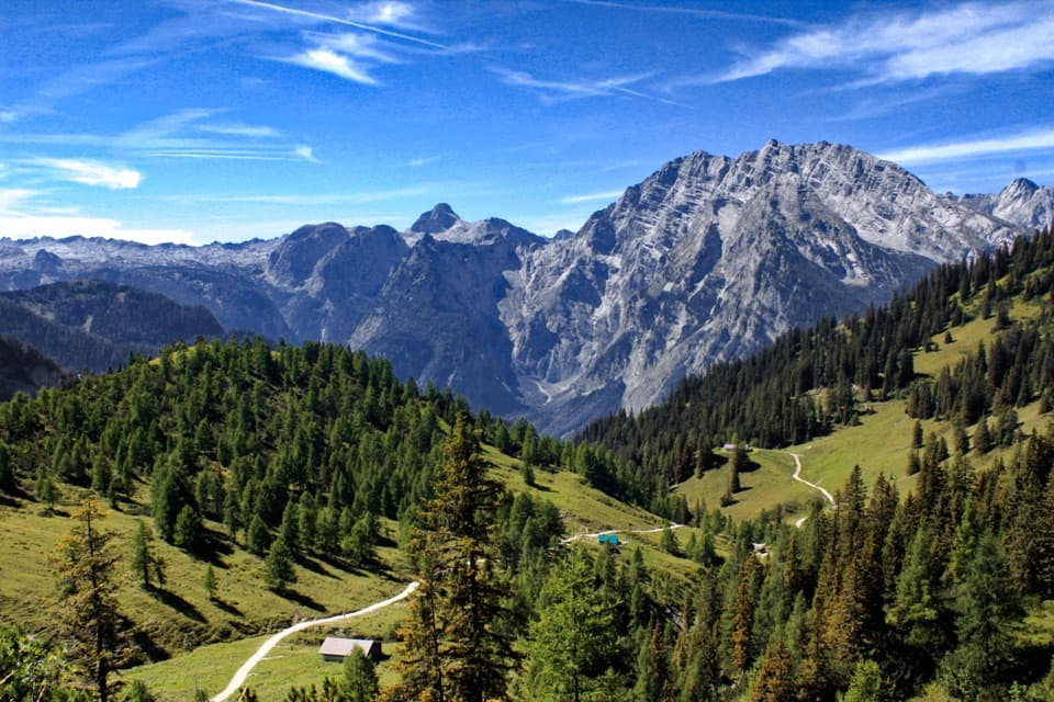 ModerateJenner to Königssee via Stahlhaus10 km · 4 hr · 1.4 km awayTwo alpine huts, then a long descent to Königssee
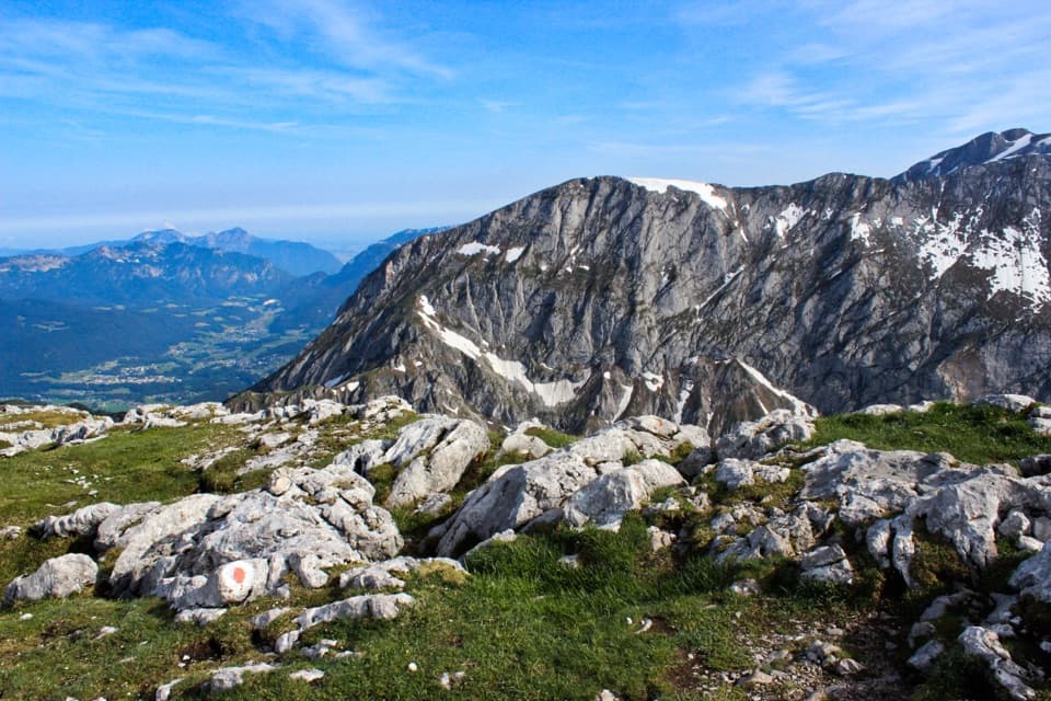 ModerateSchneibstein from Schneibsteinhaus to Königssee13 km · 6 hr · 2.1 km awayA limestone summit hike with a long descent to Königssee.
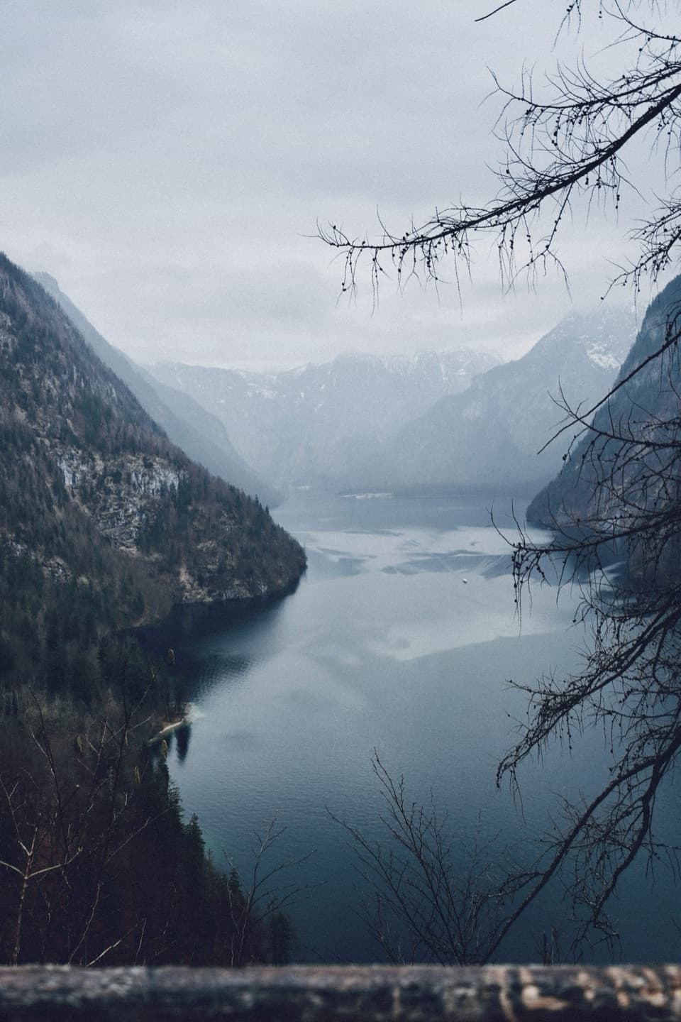 ModerateRabenwand via Malerwinkel Loop4.3 km · 2 hr · 3 km awayA rocky spur lifts the Malerwinkel loop above Königssee.
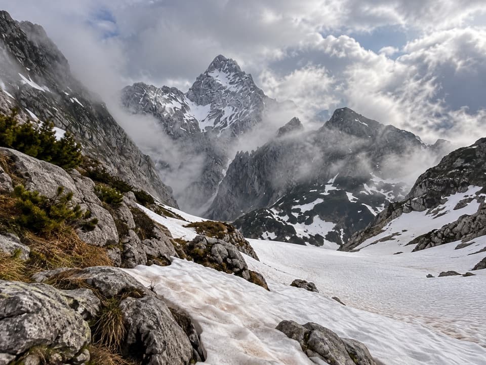 ChallengingKönigssee – Steinernes Meer 3-Day Hike44.1 km · 16 hr · 3 km awayWaterfalls, hut nights, and a hard crossing of bare alpine limestone.
 EasyMalerwinkel-Rundweg3.4 km · 1.5 hr · 3.1 km awayA quick forest loop with Königssee and St. Bartholomä in view.
 ChallengingGroße Sommer-Reibn56.6 km · 1 days · 3.2 km awaySix days of huts, lakes and exposed passes in limestone country.
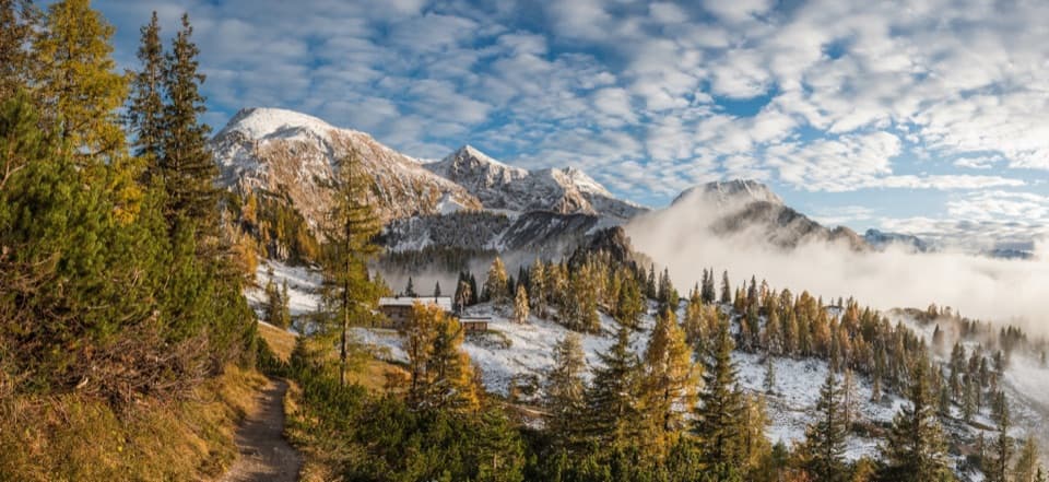 ChallengingSchneibsteinhaus Trail via Hochbahn14.7 km · 8.5 hr · 3.2 km awayA full-day climb from spruce forest to an alpine hut.
 ModerateKönigsbachalm via Hochbahn8.2 km · 3.8 hr · 3.3 km awayA steep forest climb ends at a mountain pasture above Königssee.
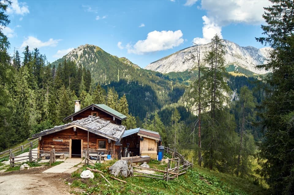 Restaurant · 1.2 km awayPriesbergalmCheese from a working pasture, under the Watzmann East Face.
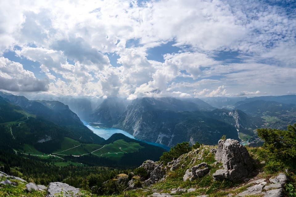 Sight · 1.2 km awayKönigsblick (Jenner Summit Viewpoint)A steep climb for a fjord-like view down Königssee.
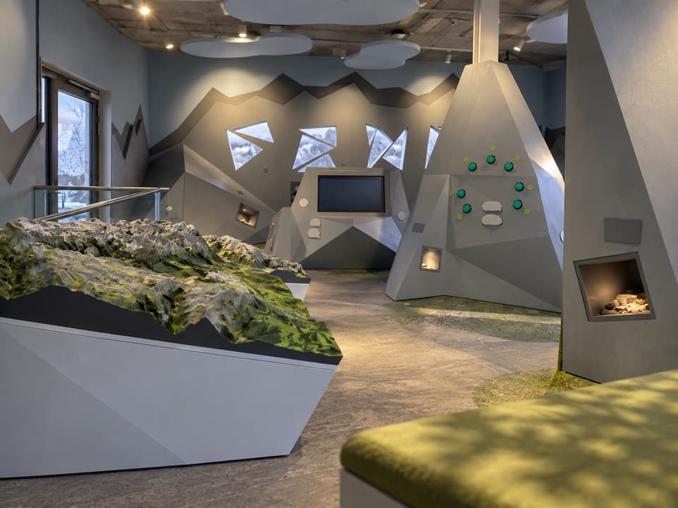 Visitor center · 1.4 km awayJenner National Park Information PointA free, hands-on look at life in the rocky Alps.
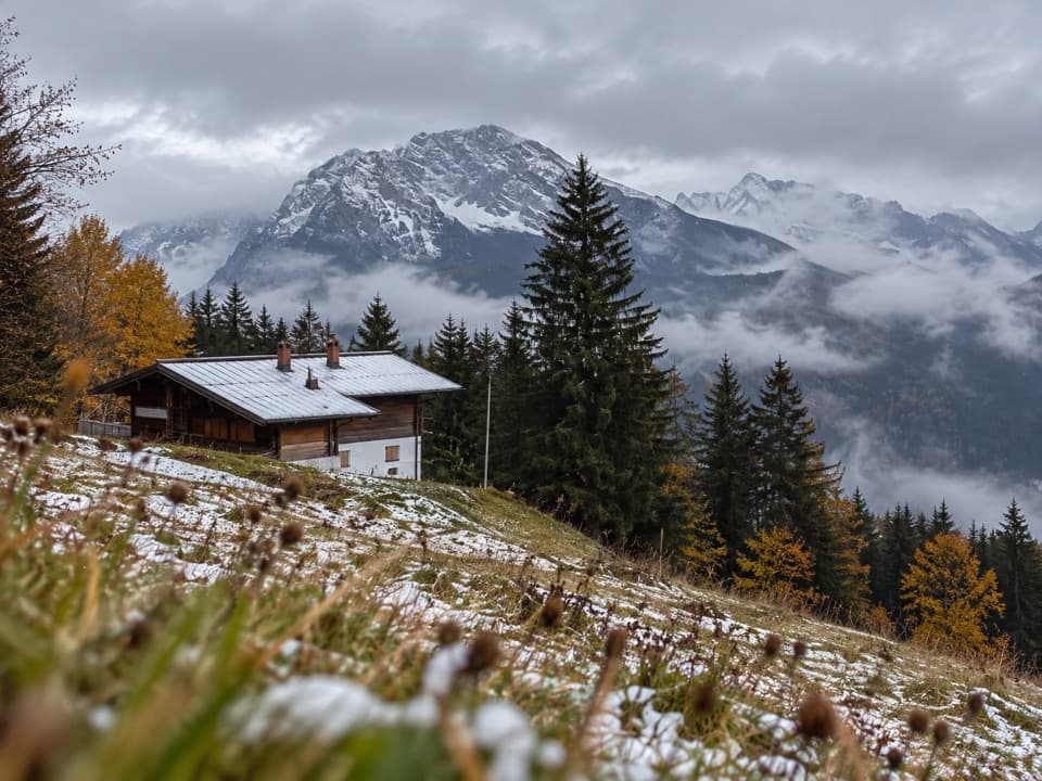 Restaurant · 2 km awayDr.-Hugo-Beck-HausWatzmann views reward the uphill walk to this Jenner hut.
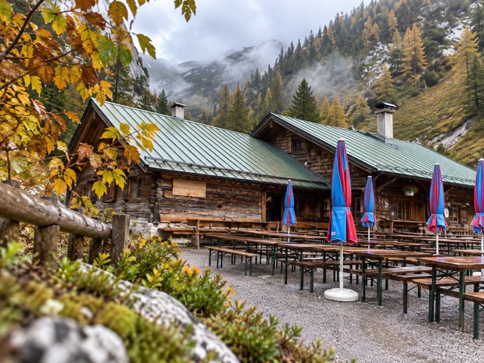 Restaurant · 2.1 km awayMitterkaseralm am JennerHomemade cakes and Bavarian snacks make this a good Jenner detour.
 Lodging · 2.1 km awaySchneibsteinhausA ridge-top refuge with a terrace facing the Watzmann East Face.Sight · 2.4 km awayMalerwinkel ViewpointA short climb opens Königssee toward St. Bartholomä and Schönfeldspitze.
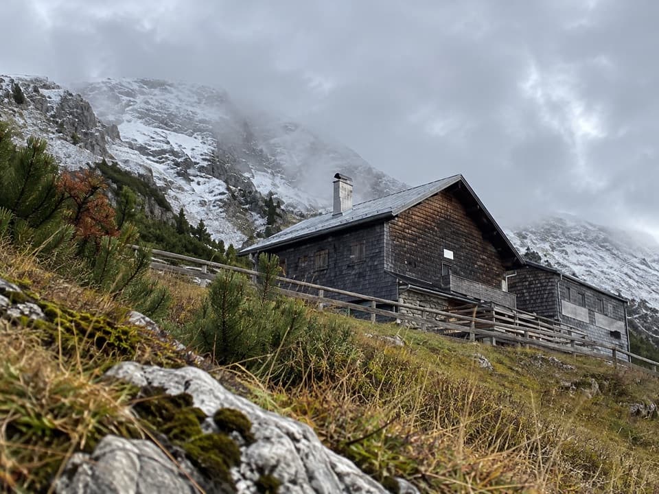 Lodging · 2.4 km awayCarl-von-Stahl-HausA high alpine refuge with big views and hearty regional food.
Parkwolf’s Berchtesgaden ranking

The audio tour guide for the drive, plus offline maps, trails, and wildlife heatmaps for when the signal drops.