
Place · 0.2 mi away
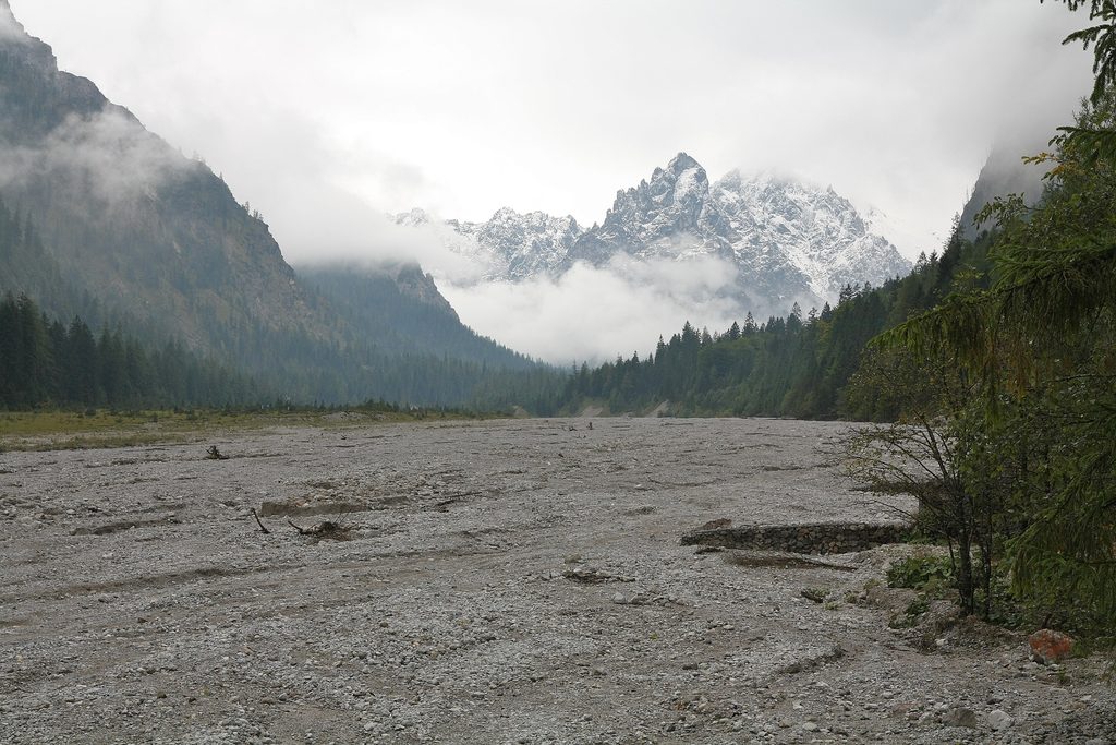
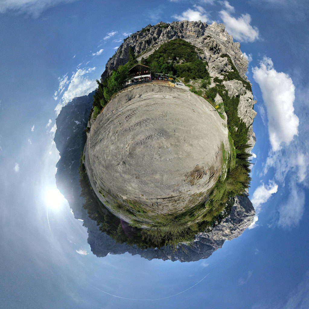
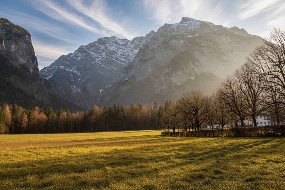
Wimbachgries is a wide, high-alpine valley filled by an up-to-300 m–deep debris fan (“gries”) made of brittle dolomite. The valley is constantly reshaped by water and rockfall, and a specialized flora has adapted to this shifting substrate. It’s one of the park’s most distinctive landscapes—open, raw, and quietly grand.
The gorge section is about 200 m long and typically takes 15–30 minutes on narrow wooden walkways along rushing water, waterfalls, and mossy walls. It’s especially impressive after rainfall and is accessed from Wimbachbrücke; an entry fee applies and hours vary by season and weather.
Trails are color-coded: blue (easy), red (moderately difficult), black (difficult); some park materials also show yellow for barrier-free routes. The approach through the valley is a slight but steady incline on marked paths. Obey on-site signs, stay on the trail, and note that rockfall or storm damage can lead to temporary closures or detours.
Parking and public toilets are at Wimbachbrücke. Along the valley, facilities are in huts and restaurants only: Wimbachschloss (generally May–October) and Wimbachgrieshütte (typically mid‑May to mid‑October; no Wi‑Fi and card payment not available). The unstaffed National Park information point by Wimbachbrücke offers a geology-focused exhibition (daily 9:00–17:00, May–October; closed in winter). The Wimbachklamm charges about €4 for ages 7+ and usually operates in daylight hours from roughly May to October.
You’re walking through a live debris system built from shattered dolomite shed by the surrounding massifs. Watch for chamois and marmots overhead and along slopes, and remember you’re in prime habitat for protected birds of prey like golden eagles. Give wildlife space and keep noise down.
Pack out all trash; do not pick plants. Dogs must be leashed. Stay on marked paths—no shortcuts or cross-country. No camping/bivouacking or fires. Drones are prohibited.
Pair the hike with Hintersee and the Zauberwald (Magic Forest) for an easy, scenic cooldown.
Late spring through early fall aligns with typical opening periods for the gorge and huts. Early mornings and weekdays are quieter, and the gorge is especially dramatic after rain. In winter, expect the gorge and the info point to be closed.
Place · 0.2 mi away
Place · 1.7 mi away
Place · 1.8 mi away
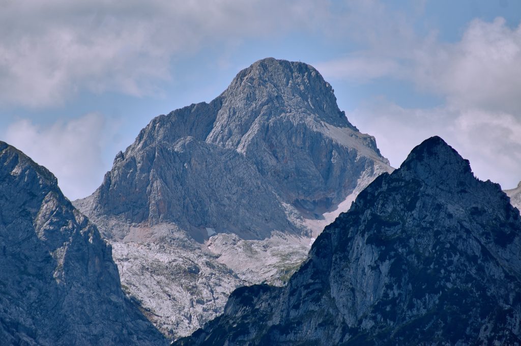
Place · 2 mi away
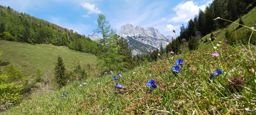
Moderate · 4 mi away
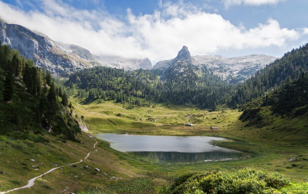
Challenging · 4.1 mi away
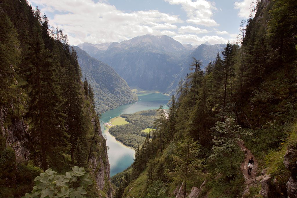
Challenging · 4.1 mi away
Moderate · 4.1 mi away

Parkwolf Tour Guide
