Pros & cons
PROS
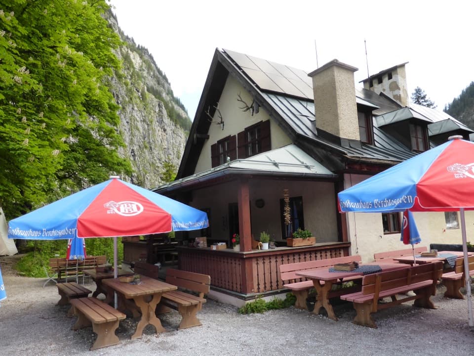
- Sunny terrace and small beer garden with big mountain views
- Hearty, good‑value meals and drinkable water on site
- Washrooms and paid showers for overnight trekkers
CONS
- Cash only; no Wi‑Fi and spotty cell service
- Seasonal: generally mid‑May to mid‑October only
- Showers are coin‑timed and pricey per minute
Overview
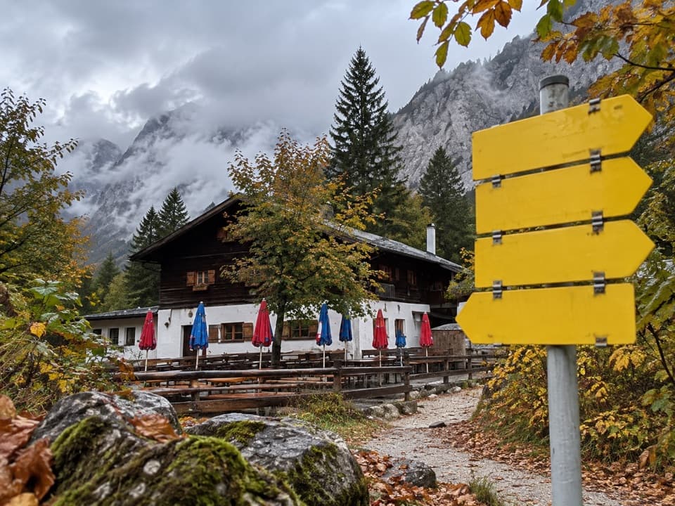
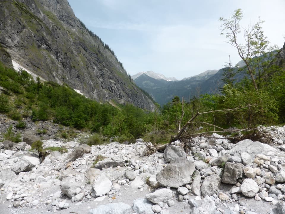
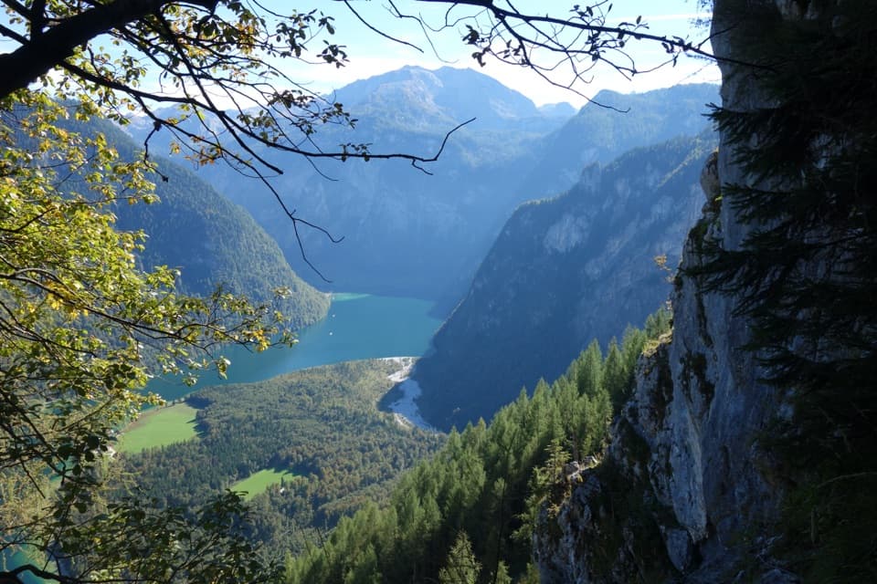
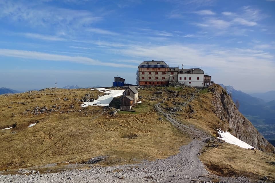
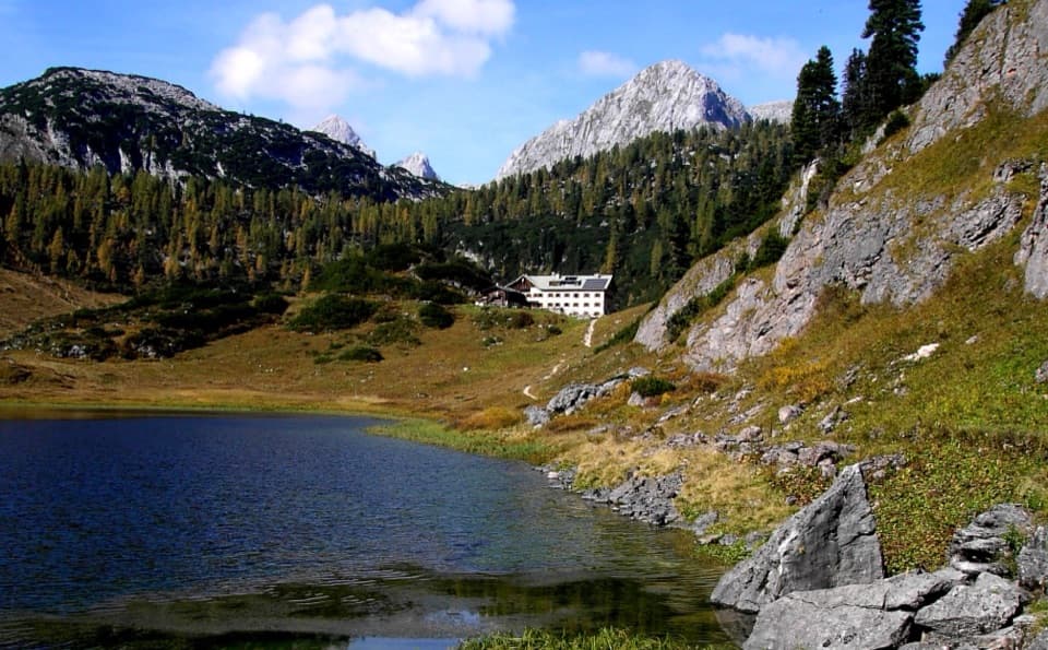
Set deep in the vast gravel plain of the Wimbachgries, Wimbachgrieshütte is the classic endpoint to a gorge‑to‑valley hike with wide views to the Watzmann and Hochkalter groups. It’s a friendly, no‑frills mountain hut inside the protected area—come for the scenery, stay for the knödel and cake.
Getting There & Route
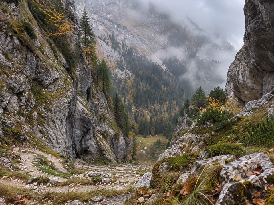
Most hikers start at Wimbachbrücke (paid lot and year‑round public WC; bus stop at the trailhead) and follow the Wimbachtal toward the hut. Expect about 3.5 hours one way for roughly 8.3 km and +709 m to the hut, or make it a bigger out‑and‑back day of around 16–17 km depending on whether you include the Wimbachklamm gorge. Sure‑footedness and decent fitness help; the path mixes asphalt, gravel, and forest track.
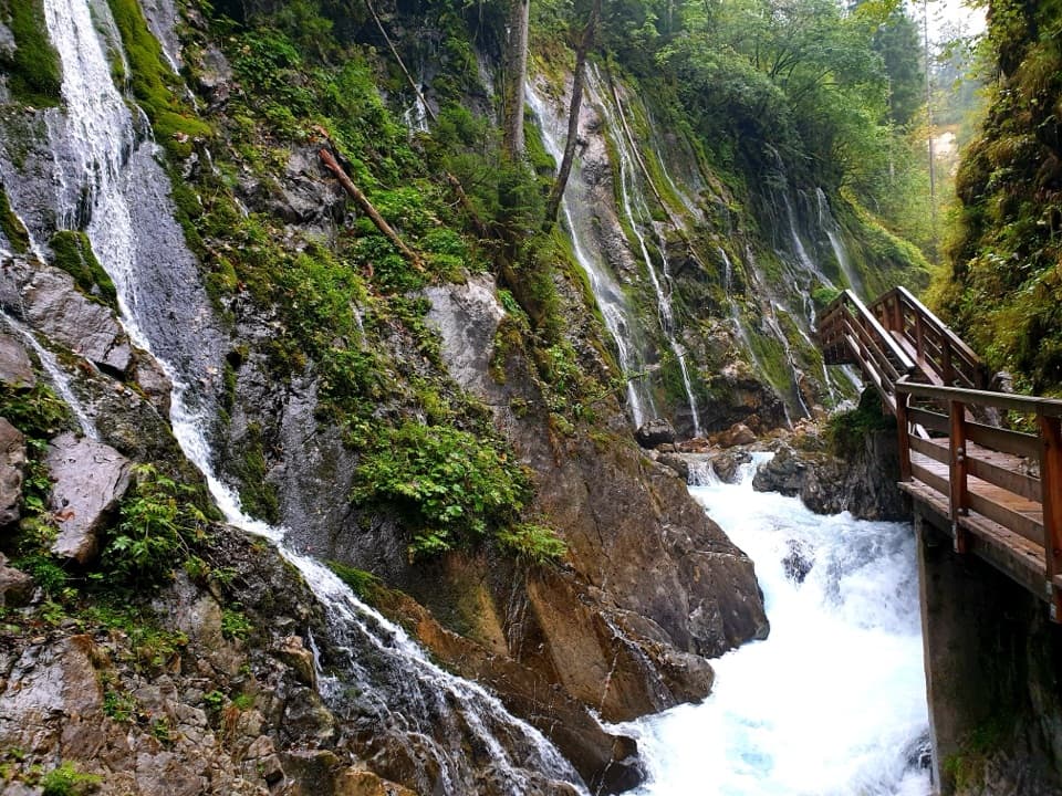
- Optional add‑on: the Wimbachklamm gorge sits at the valley entrance and is a short, spectacular detour when in season; otherwise, take the signed bypass.
On the Hut (What to Expect)
This is a maintained, self‑service style hut with a sunny terrace/beer garden. Inside you’ll find filling portions (the stews are a hiker favorite) at fair prices. Washrooms and showers are available; rooms/dorms don’t have running water. Drinking water is provided, and you might find a couple of outlets in the dining room, but don’t count on charging in rooms. It’s cash only. No Wi‑Fi, and mobile coverage can be patchy.
Geology: Why This Valley Is a Sea of Gravel
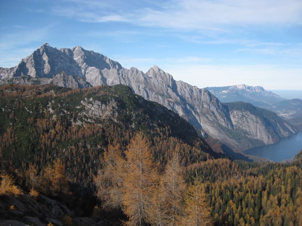
You’re walking through the Northern Limestone Alps. Brittle Ramsau dolomite beneath more plastic Dachstein limestone breaks down into coarse “grus,” which has piled up into the Wimbachgries—an enormous debris fill that can reach hundreds of meters deep. Look up at the banded limestone walls framing the valley; in places across the range, Dachstein limestone even preserves big clam (“megalodont”) fossils.
Wildlife
This corner of the park hosts ibex, chamois, red deer, marmots, and soaring golden eagles, plus diverse alpine flora. Dawn and dusk are best for wildlife—observe from a distance and never feed animals.
Best Time to Visit
Plan your trip between mid‑May and mid‑October when the hut operates. In 2025, the Wimbachklamm season ran until November 2 (07:00–19:00); outside those dates, use the bypass path. The Wimbachgries is open and sun‑exposed: start early to enjoy cooler temps and softer light, and carry sun and eye protection.
Practical Notes
- Trail surfaces alternate and can be wet/slippery near the gorge; wear good footwear and pack layers.
- Cell service can be unreliable in the valley—download maps and let someone know your plan.
- The hut is closed outside its summer season and there’s no winter room.
- Respect park rules: stay on marked trails, don’t litter, keep dogs leashed, and leave plants and wildlife undisturbed.
Where it is
47.5391, 12.8882Tips for Wimbachgrieshütte
- 01Start at Wimbachbrücke; there’s a year‑round public WC and a bus stop at the trailhead.
- 02Carry cash—the hut doesn’t accept cards and outlets are limited to the dining room.
- 03If the Wimbachklamm is closed (after early November), use the signed bypass to enter the valley.
- 04Bring layers, sun protection, and enough water—the Wimbachgries is exposed and windy at times.
- 05Showers are coin‑timed and expensive; plan to rinse fast or skip it on short stays.
Amenities
Near Wimbachgrieshütte
All places →All trails →
0.2 mi awayWimbachgriesA vast dolomite gravel valley with huts and a gorge optionParking · Restroom
1.6 mi awayWatzmann OstwandGermany’s legendary 1,800 m limestone big wall above Königssee
1.7 mi awayWatzmannIconic limestone giant with a serious summit traverseScenic Viewpoint
1.8 mi awayGroßer HundstodRocky border summit with big views above the Steinernes MeerScenic Viewpoint
4 mi awaySaugasse to Funtensee/KärlingerhausSteep switchbacks to a lakeside hut at Germany's coldest spotChallenging · 6.5 mi · 4.2 hr
4 mi awayRinnkendlsteigSteep, airy climb from Königssee to Kühroint with nonstop lake viewsChallenging · 6.8 mi · 5 hr
4 mi awaySt. Bartholomä – EiskapelleBoat-to-trail hike into the dramatic Watzmann east face.Moderate · 4.3 mi · 3 hr
4.1 mi awayObersee – Fischunkelalm – RöthbachfallBoat-to-alpine-meadow stroll to Germany’s tallest waterfallEasy · 5 mi · 2.5 hr