Parking
Start at the Chisos Basin Visitor Center parking area and follow the paved walkway near the store to the trail. For the shorter campground access, use the Amphitheater lot across from the campground entrance; do not park in the campground.
#5 of 45 trails in Big Bend
Big Bend National Park, TX
A 5.5-mile canyon hike with a tough climb back to the Basin.
Overview
Map & elevation
Plan your hike

The highest, rockiest slopes around here are a summer buffet for grizzly bears.
Big Bend Tour Guide
Parkwolf is a GPS audio tour guide for Big Bend National Park. As you drive, it chimes in with what’s ahead: hidden gems, upcoming stops, history, geology, and wildlife, right through your car’s speakers.
See the Big Bend audio tourRecorded for this trailhead
Chisos Basin and Window View“You're coming up on Chisos Basin, a mountain-ringed bowl with a gap called the Window opening toward the desert.”
Plays as you drive up to this trailhead in the Parkwolf Big Bend Tour Guide.
More stories near here in the app
“Fantastic app with many points of information… It’s great to just turn on while you’re driving and it gives you an audio tour of the national Park. We love it!!!!”


Trail guide
The Window Trail is a 5.5-mile out-and-back from the Chisos Basin Visitor Center parking area down Oak Creek Canyon to the Window pour-off, then back up. It’s one of the park’s best day hikes from the Basin if you want more than a lookout: the route changes from open, rocky slopes to a greener creek wash, then narrows into a slickrock canyon. At the end, the Window frames the desert west of the Chisos. The payoff is good; the climb out is the price. Allow about three to four hours for the full walk.
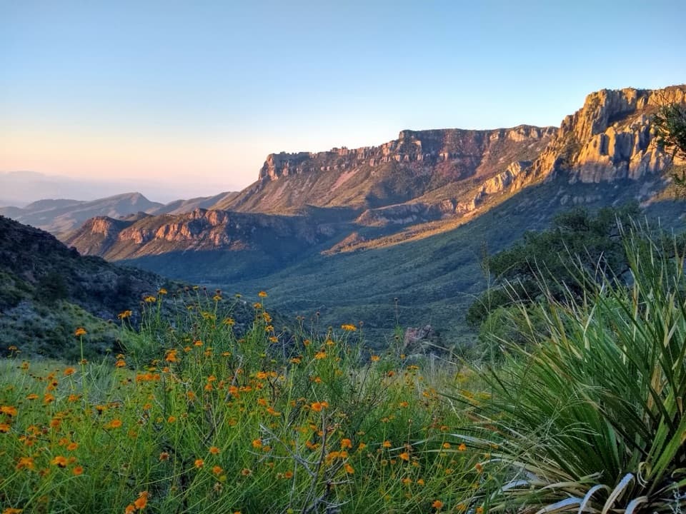
The route starts on a paved walkway near the store and quickly turns to dirt. The first mile is the steepest, with wooden log steps breaking up the rocky descent. Near mile 0.9, a spur links with the campground; stay on the main trail for the Visitor Center route described here. Below that junction, the trail follows Oak Creek Canyon through scrub and scattered trees, with views back to Carter Peak, Vernon Bailey Peak, and Casa Grande. You retrace the same way, so the downhill approach becomes a steady climb of about 1,000 feet. Start early to avoid the heat, and bring more water than you think you’ll need.
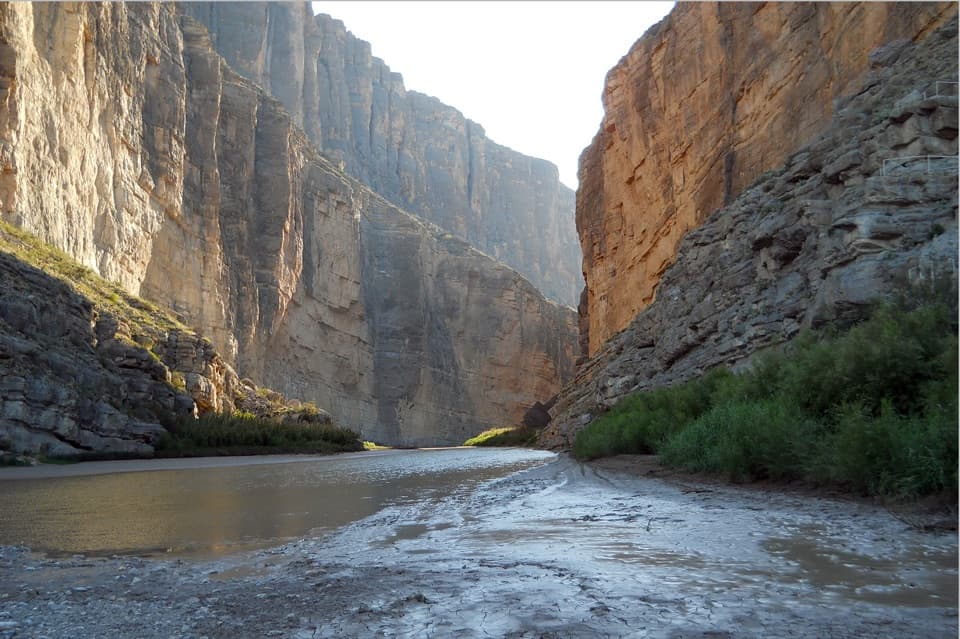
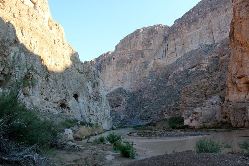
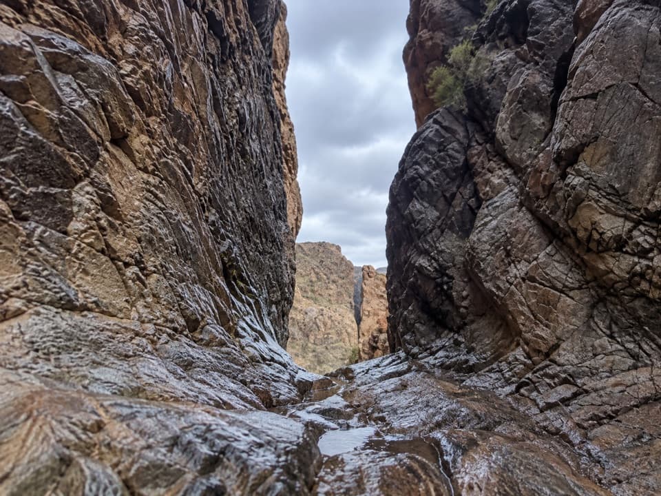
The path crosses the wash several times. It usually has little or no water, but during wetter periods Oak Creek can flow and make those crossings necessary. Farther down, the canyon tightens and reddish rock walls rise above the drainage. The greener strip along the wash stands out against the dry slopes around it.
The last quarter-mile is slickrock, with uneven polished stone and steps cut around pour-offs. Pools or small cascades can appear when water is flowing, but they aren’t guaranteed. Wet rock is especially slippery, so slow down through this section and keep back from the edge. The trail ends at a narrow gap between cliffs, not a summit. From there, look west through the opening to frame the desert beyond without stepping onto the slick lip.
The drainage holds plants associated with cooler, wetter conditions than the surrounding desert, including Mexican drooping juniper, piñon pine, oaks, mountain laurel, Mexican buckeye, and Texas madrone. About 10,000 years ago, oaks and junipers also grew along the Rio Grande; as the region warmed and dried, some woodland species remained higher in the Chisos. They’re a reminder that this canyon is a small refuge within a much drier landscape.
Black bears are regularly seen in the Chisos, and Mexican Jays and Acorn Woodpeckers are among the birds noted along this trail. Lizards and garter snakes may be near seasonal pools. Treat sightings as a bonus rather than a reason to expect wildlife at a particular spot.
There’s a separate start near campsite 51 in the Basin Campground. The park lists that out-and-back at 4.0 miles, but a hiking directory and visitor GPS measurements put it closer to 4.7–4.9 miles, so check the posted route information before choosing it. Park at the Amphitheater lot opposite the campground entrance; don’t park in the campground. The 5.5-mile distance above is from the Visitor Center. Pets aren’t allowed on park trails.
Wildlife
 377 sightingsBlack BearMost seen around 7 PMSighting map
 329 sightingsCollared PeccaryMost seen around 7 PMSighting map
 500 sightingsWhite-tailed DeerMost seen around 7 PMSighting map
 985 sightingsRoadrunnerMost seen around 8 AMSighting map
 228 sightingsRavenMost seen around 5 PMSighting map
 264 sightingsTurkey VultureMost seen around noonSighting map
Sighting maps show where each species has been reported across Big Bend. Wildlife moves, so no sighting is guaranteed.
Keep exploring
 ChallengingEmory Peak Trail10.5 mi · 7 hr · At the trailheadA full-day climb to Big Bend’s highest summit and wide-open views.
 ChallengingOuter Mountain Loop30 mi · 18 hr · At the trailheadThree days from Chisos woodland to exposed desert, with no reliable water.
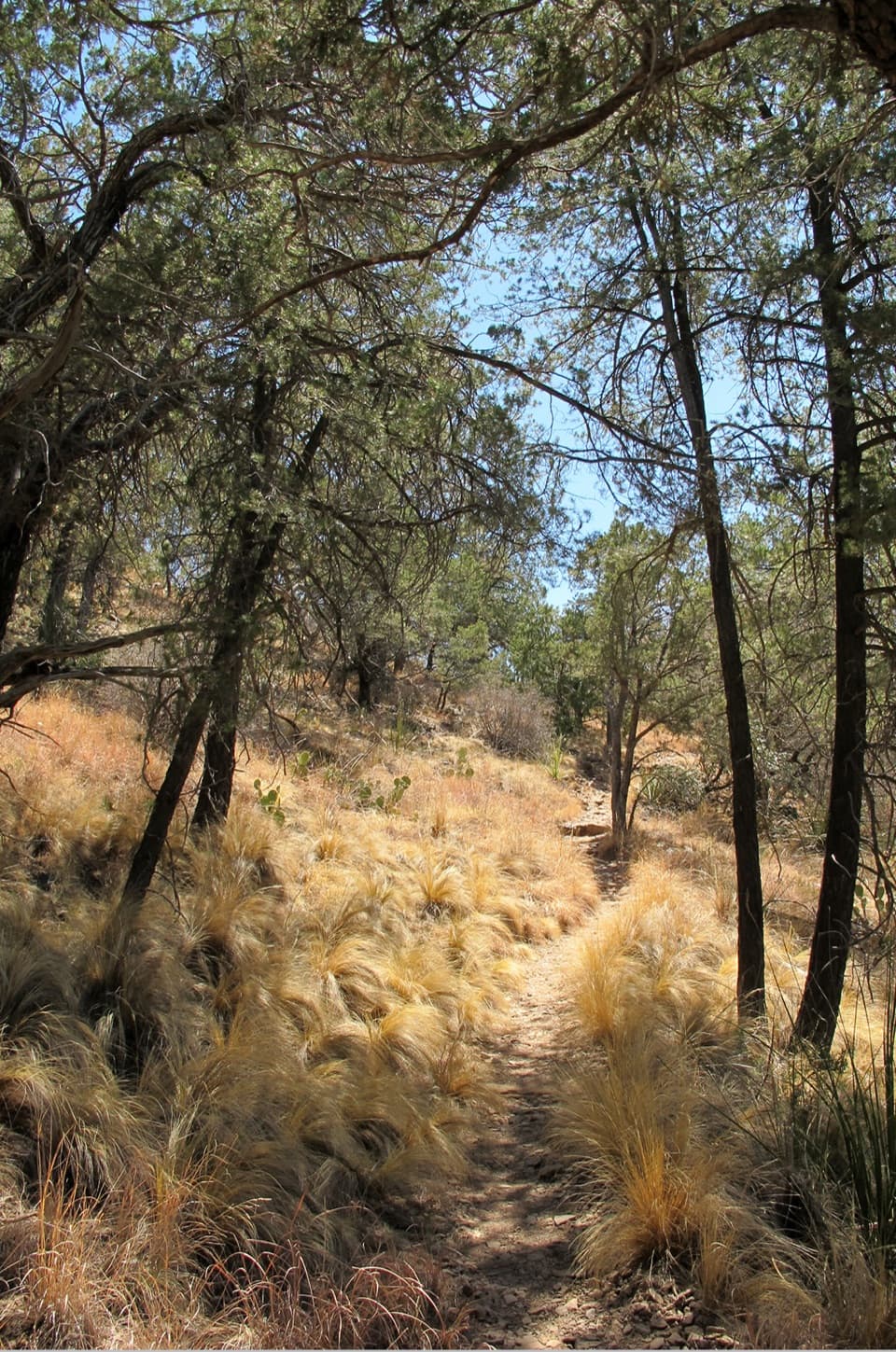 ModerateChisos Basin Loop Trail2 mi · 1 hr · At the trailheadA shaded Basin loop with Window views and pine forest.
 ChallengingColima Loop9.5 mi · 7 hr · At the trailheadA high-country circuit through Boot Canyon and the Chisos peaks.
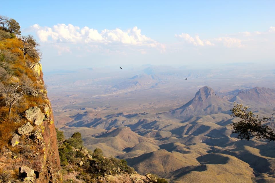 ChallengingSouth Rim Trail12.5 mi · 6.5 hr · At the trailheadA hard climb to the rim, back through Boot Canyon and Pinnacles.
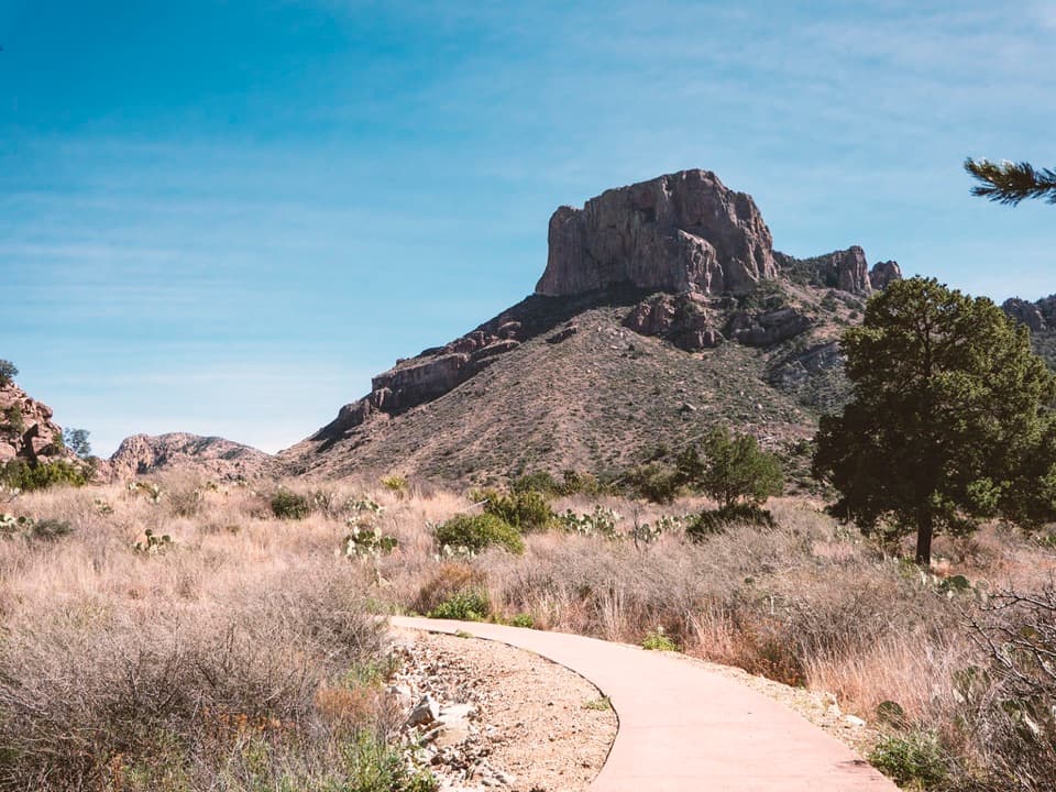 EasyWindow View Trail0.3 mi · 30 min · At the trailheadA paved Basin loop with a clear view through the Window.
 ChallengingEntire Rim Loop13.6 mi · 9 hr · At the trailheadBoth Chisos rims and Boot Canyon in a full-day loop.
 ChallengingPinnacles Trail7 mi · 4.5 hr · At the trailheadA steep, shaded climb to a high pass above the Basin.
 Store · 0.1 mi awayChisos Basin StoreCold drinks and camp basics, without a detour from the Basin.
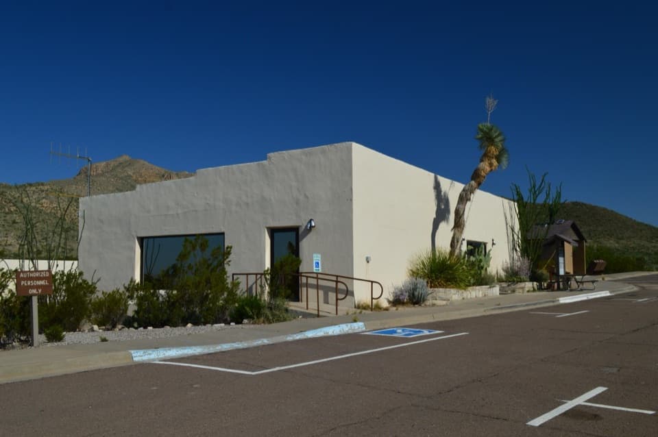 Visitor center · 0.1 mi awayChisos Basin Visitor CenterA quick Chisos wildlife primer before you head for the Basin trails.
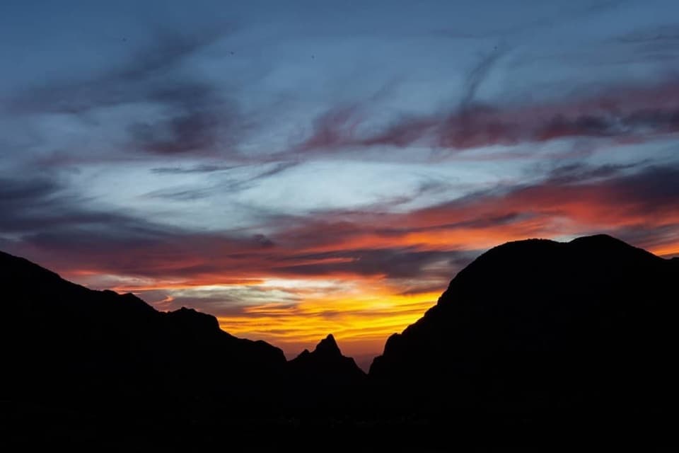 Sight · 0.1 mi awayWindow ViewA short, paved loop for sunset through the Window.
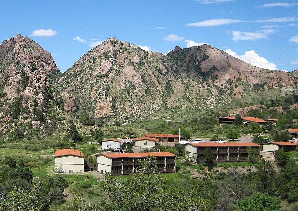 Lodging · 0.1 mi awayChisos Mountains LodgeStay at the park's only lodge, high in Chisos Basin.
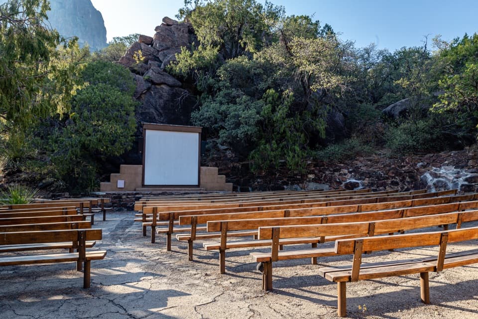 Sight · 0.3 mi awayChisos Basin AmphitheaterRanger talks bring local stories to a stone stage outdoors.
 Campground · 0.4 mi awayChisos Basin CampgroundHigh-country camping for hikers; road and site size favor smaller rigs.
 Scenic pullout · 1.5 mi awayTree Zone ExhibitStand under an oak where desert plants meet mountain woodland.Sight · 1.7 mi awayEmory PeakA 10.5-mile round trip earns a 360-degree summit panorama.
Parkwolf’s Big Bend ranking

The audio tour guide for the drive, plus offline maps, trails, and wildlife heatmaps for when the signal drops.