Pros & cons
PROS
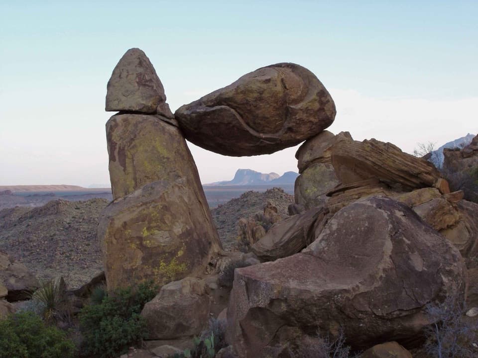
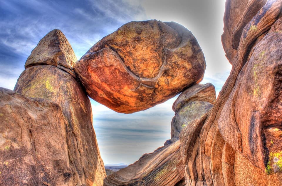
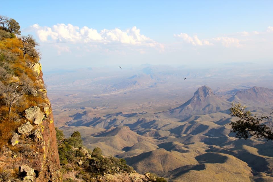
- Balanced Rock naturally frames a sweeping desert panorama—great at golden hour
- Reliable dark-sky spot for night photography with striking foreground rock
CONS
- Rough dirt access road; high-clearance often needed, especially after rain
- Short but crowded, and the final scramble can bottleneck at the arch
Small parking area at the end of Grapevine Hills Road; the road is rough dirt and can be rutted or muddy—high-clearance recommended and allow extra time to drive in.
Extreme heat and full sun exposure; rough access road; final rocky scramble requires hands; avoid placing hands in shaded crevices due to snakes and scorpions.
Overview
This is Big Bend’s photogenic crowd-pleaser: an out-and-back hike to the park’s famed Balanced Rock. It’s short, scenic, and a little spicy at the end. Expect roughly 2.2 miles round-trip on mostly gentle terrain before a brief, steeper rock scramble to reach the window-like boulder perched above the Chihuahuan Desert.
What the hike is like
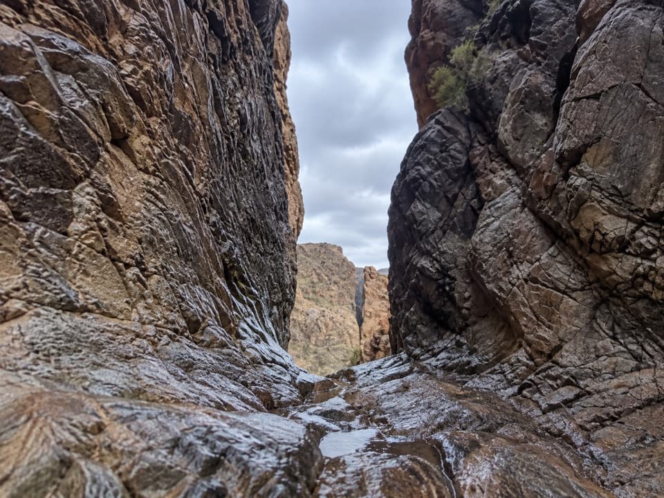
The first stretch follows a sandy desert wash through rounded, "bubbly" granite hills. It’s easy walking with big geology all around. The final quarter mile ramps up: you’ll pick your way up rock steps and boulders to the notch where Balanced Rock frames wide-open desert views. It’s not technical, but you’ll want two free hands and decent traction—take your time, especially with kids or anyone uneasy on uneven rock.
Scenery and geology
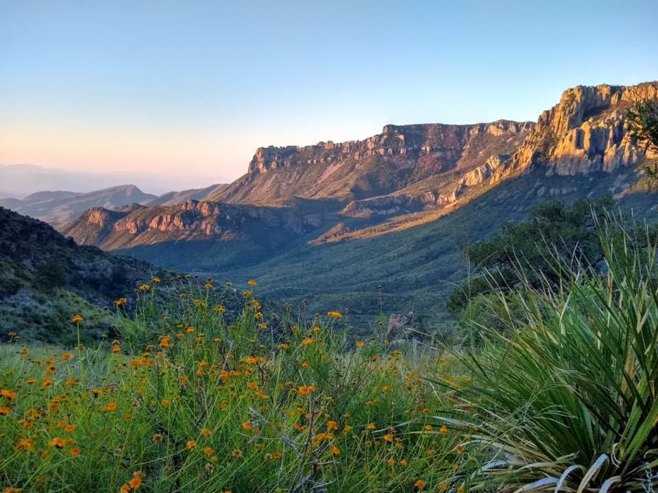
This landscape of ancient granite has been sculpted by spheroidal weathering, rounding the boulders into oversized marbles and domes. Late-day light sets the rock glowing orange-red, and the Balanced Rock viewpoint turns into a natural picture frame for the Chihuahuan Desert. Night brings dark skies—this spot is popular with astrophotographers.
Best time to hike
Open year-round, but it’s happiest in fall, winter, and early spring when temperatures are reasonable. In summer, start at sunrise to beat the heat and avoid the harshest sun. Golden hour brings the best color on the granite; after dark, plan ahead if you’re staying for stars.
Access and logistics
The trail begins at the end of Grapevine Hills Road—a rough dirt road that can be rutted and muddy after rain. High-clearance is strongly recommended, and 4WD is helpful in wet conditions. There’s no water, little shade, and no services at the trailhead. Day hiking here does not require a permit, and pets are not allowed on the trail.
Tips
- Bring more water than you think you need and solid footwear for the scramble.
- Watch your hands and feet around shaded crevices—snakes and scorpions like the cool cracks.
- This is a popular hike; if you want a quieter experience or easier parking at the end of the dirt road, go early.
Elevation
2.2 mi · 1.2 hrWhere it starts
29.4104, -103.2076Wildlife on this trail
Near Grapevine Hills Trail
All places →All trails →
0 mi awayBalanced Rock TrailShort desert stroll to Big Bend’s iconic boulder archModerate · 1.9 mi · 1.5 hr
0.4 mi awayGrapevine HillsShort desert hike to a photogenic Balanced Rock and big viewsTrailhead · Parking
0.8 mi awayBalanced RockIconic stone window after a short desert hikeTrailhead · Parking
4.3 mi awayFossil Discovery ExhibitOpen-air fossil story with views and a shaded picnic stopExhibit · Parking
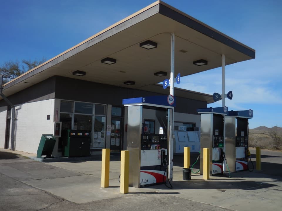
5.6 mi awayPanther Junction Service StationCentral 24/7 fuel stop with a small but useful mini-martGas Station · Restroom
5.7 mi awayPanther PathFive-minute, plant-labeled stroll beside Panther Junction Visitor CenterEasy · 0.1 mi · 10 min
10.1 mi awayPine Canyon TrailRemote desert-to-forest climb to a dramatic, sometimes-flowing pouroffModerate · 4 mi · 2.2 hr
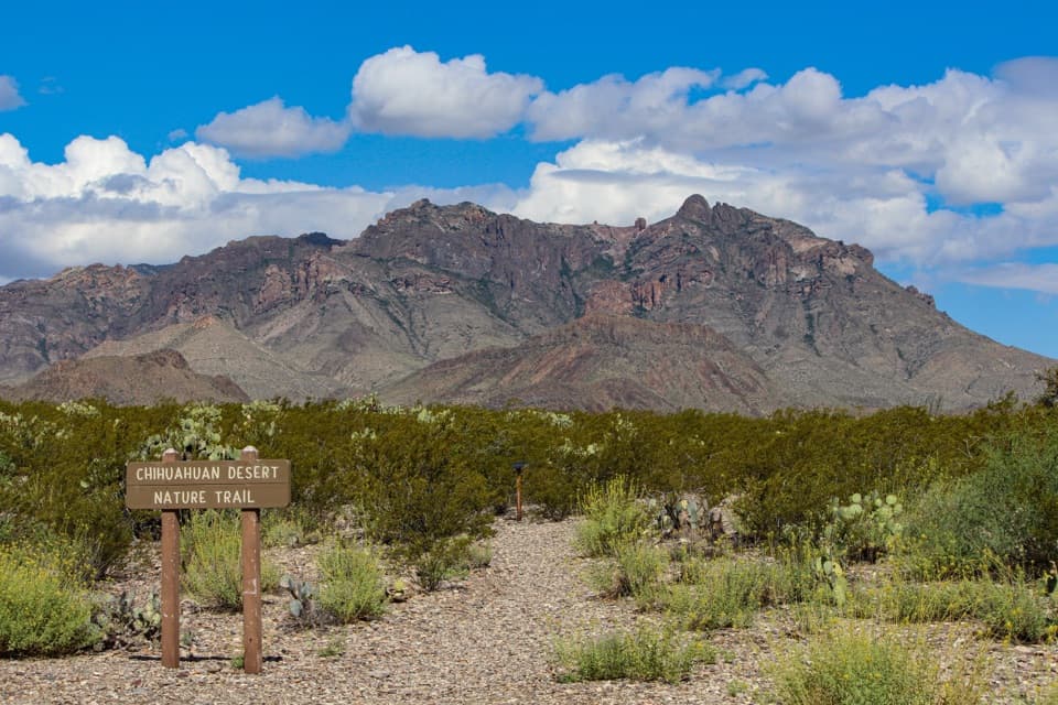
10.5 mi awayChihuahuan Desert Nature TrailEasy 0.5-mile loop through desert flora at a shady oasis.Easy · 0.5 mi · 30 min