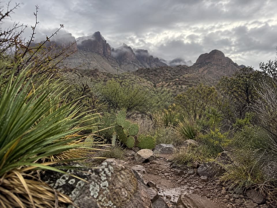
Dominguez Spring Trail in Big Bend National Park

Big Bend National Park, TX

Dominguez Spring Trail

A long desert walk toward springs that often run dry.

Length
13.5mi
Time
7.5hr
Elev. change
1,158ft
Difficulty
Challenging
  • No dogs
  • High point 3,346 ft
Parkwolf audio tour110 stories across Big Bend’s roads

Overview

About Dominguez Spring Trail

Why go

  • Open views toward Sierra Quemada and Dominguez Mountain.

Heads up

  • Remote full-day mileage; the spring is often dry.

Map & elevation

The route

Loading the Big Bend map
Full map
Elevation2,188–3,346 ft
TrailheadDominguez Spring Trail Parking Area29.04471, -103.27976
Keep this map with you offline in the Parkwolf app

Plan your hike

Before you go

Parking

Start at the Dominguez Spring Trail Parking Area beside the Dominguez Trailhead primitive campsite (DT-1) on River Road. The site is 22.7 road miles from Castolon and 31.3 miles from Rio Grande Village. River Road is high-clearance only, may require 4WD after rain, and can become impassable when wet.

Safety

Dominguez Spring is ephemeral and often dry, so carry all water for the full hike and do not rely on the spring. This is a long, remote desert route. River Road can be impassable after rain and may require 4WD. Pets are prohibited on park trails.

2 active Big Bend alerts

  • ClosureWeather-related road closuresDo not use these closed roads; NPS lists the closures as in effect until further notice.Official details
  • InfoBoquillas Crossing schedule changeBoquillas Crossing is open Friday through Monday, 9:00 a.m.–4:00 p.m.; NPS says it will not change to winter hours at this time. Check current park conditions before planning a crossing.Official details
Big Bend alerts
A park ranger sits on a dash-mounted phone, talking, as Parkwolf’s Tour Guide plays “Army Cutworm Moths: A Grizzly Bear Buffet” on Grand Loop Road below Dunraven Pass in Yellowstone
Parkwolf Tour GuideThe highest, rockiest slopes around here are a summer buffet for grizzly bears.

Big Bend Tour Guide

Your drive to Dominguez Spring Trail, narrated.

Parkwolf is a GPS audio tour guide for Big Bend National Park. As you drive, it chimes in with what’s ahead: hidden gems, upcoming stops, history, geology, and wildlife, right through your car’s speakers.

See the Big Bend audio tour
  • 110 audio storiesacross Big Bend’s roads, triggered by GPS as you drive
  • Wildlife heatmapsfor Black Bear, Collared Peccary, White-tailed Deer, and 13 more
  • Works offlinemaps, 45 trails, 64 places, and audio download before you lose signal
  • CarPlay readysimple controls built for the drive
★★★★★
“Fantastic app with many points of information… It’s great to just turn on while you’re driving and it gives you an audio tour of the national Park. We love it!!!!”
JMJamesApp Store review
Download Parkwolf on the App StoreGet Parkwolf on Google Play

4.7 from 8,600+ ratings

Trail guide

Hiking Dominguez Spring Trail

What this trail isDominguez Spring Trail is a remote out-and-back from the Dominguez Trailhead area on River Road…

Dominguez Spring Trail is a remote out-and-back from the Dominguez Trailhead area on River Road to an ephemeral spring basin beneath Dominguez Mountain. The mapped spring outing is about 13.5 miles round trip, with around 1,200 feet of climbing; plan for roughly 7 to 8 hours on foot with stops. I'd save it for hikers who want a long desert day and are comfortable with the rough drive in.

The walk northThe route crosses scrubby desert with scattered cacti and succulents, aiming for the drainage…

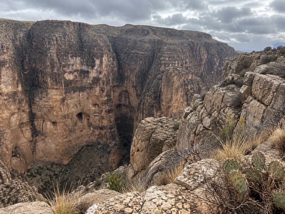
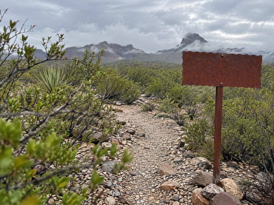
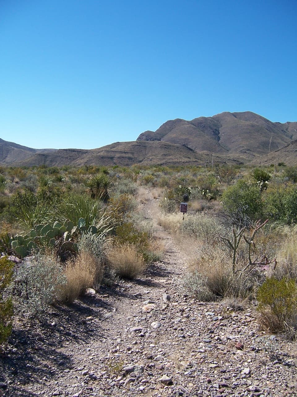
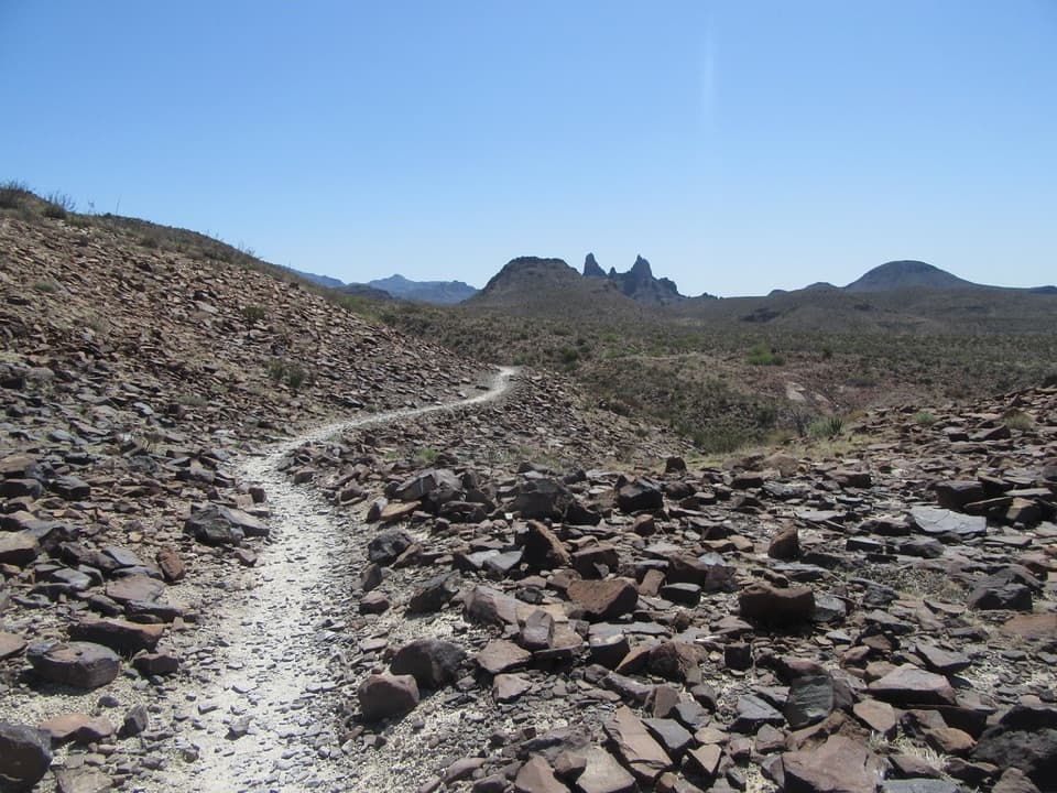
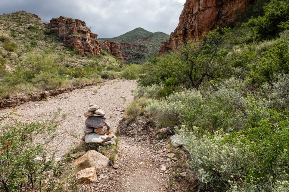
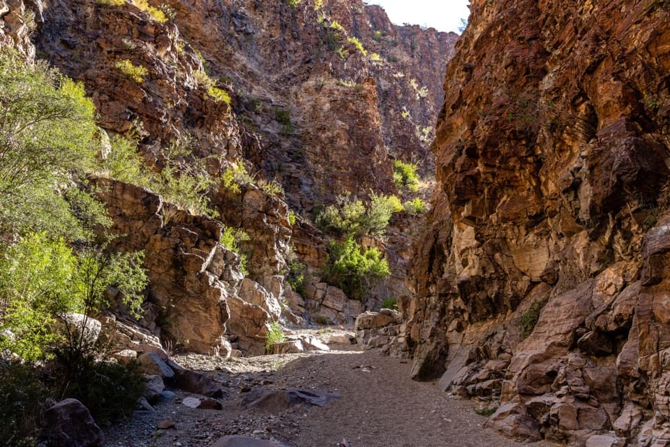
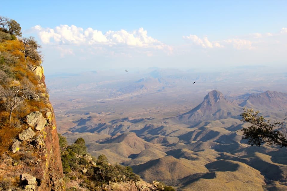
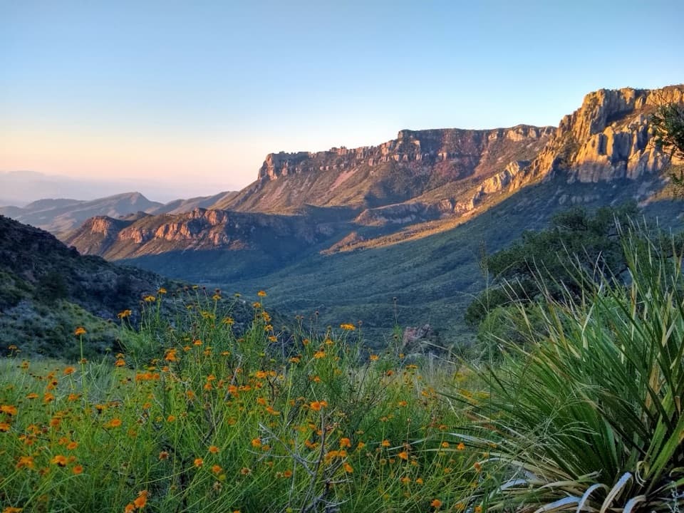
The route crosses scrubby desert with scattered cacti and succulents, aiming for the drainage between the Punta de la Sierra cliff band and Dominguez Mountain. Grades stay gentle as it climbs toward the spring confluence. The payoff is the Sierra Quemada skyline and the two landforms drawing close around that drainage. For a photo, frame the drainage between the cliff band and peak so the route's entry into the range reads clearly.

Check which distance you meanDescriptions use different endpoints. This mapped spring-basin outing is about 6.7 miles out.

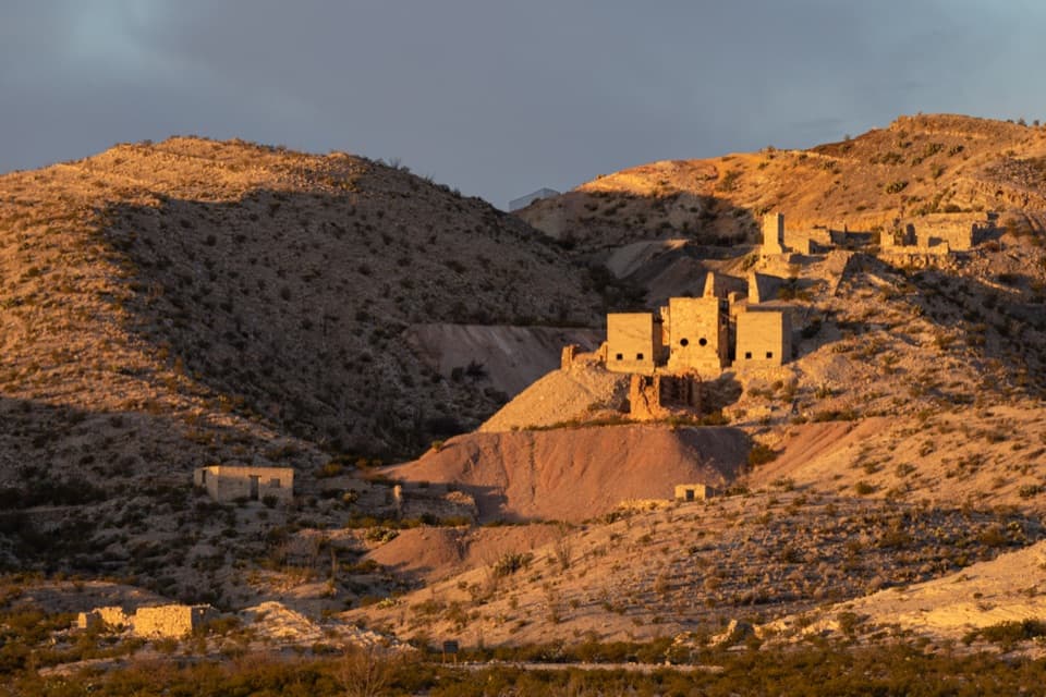
Descriptions use different endpoints. This mapped spring-basin outing is about 6.7 miles out. A longer primitive route is described at 10 miles into the Sierra Quemada, reaching rock-house remains and several springs. The route line here follows the shorter spring-basin hike; expect to return by the same approach and confirm your turnaround before leaving the road.

Water and the River Road approachDominguez Spring is ephemeral and often dry, though it can flow more after rainy periods.

Dominguez Spring is ephemeral and often dry, though it can flow more after rainy periods. Carry all the water you'll need and keep out of the spring. The nearby DT-1 primitive campsite has no shade, toilets, or other amenities; camping there requires a backcountry permit. Pets aren't allowed on park trails.

Wildlife

Wildlife in Big Bend

All Big Bend wildlife maps

Sighting maps show where each species has been reported across Big Bend. Wildlife moves, so no sighting is guaranteed.

Parkwolf’s Big Bend ranking

Top-rated trails in Big Bend

All 45 trails
  1. 1South Rim TrailChallenging · 12.5 mi
  2. 2Santa Elena Canyon TrailEasy · 1.6 mi
  3. 3Lost Mine TrailModerate · 4.8 mi
  4. 4Emory Peak TrailChallenging · 10.5 mi
  5. 5The Window TrailModerate · 5.5 mi
  6. 6Grapevine Hills TrailModerate · 2.2 mi

Take Parkwolf to Big Bend.

The audio tour guide for the drive, plus offline maps, trails, and wildlife heatmaps for when the signal drops.

4.7 from 8,600+ ratings

Download Parkwolf on the App StoreGet Parkwolf on Google Play