Parking
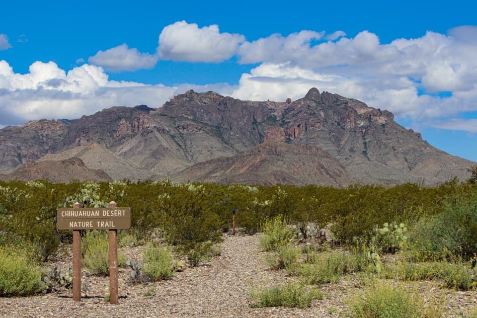
Park in the gravel lot at Dugout Wells Picnic Area, about six miles east of Panther Junction on the road to Rio Grande Village. Cross the road to the brown wooden trail sign; the lot holds about eight vehicles.
Big Bend National Park, TX
A short desert loop puts names to the plants around you.
Overview
Map & elevation
Plan your hike

The highest, rockiest slopes around here are a summer buffet for grizzly bears.
Big Bend Tour Guide
Parkwolf is a GPS audio tour guide for Big Bend National Park. As you drive, it chimes in with what’s ahead: hidden gems, upcoming stops, history, geology, and wildlife, right through your car’s speakers.
See the Big Bend audio tourRecorded for this trailhead
Dugout Wells“Dugout Wells is coming up, a shady pocket of trees and a working windmill in the open desert. I'd stop here for a picnic and a breather; bring your own food.”
Plays as you drive up to this trailhead in the Parkwolf Big Bend Tour Guide.
More stories near here in the app
“Fantastic app with many points of information… It’s great to just turn on while you’re driving and it gives you an audio tour of the national Park. We love it!!!!”


Trail guide
Chihuahuan Desert Nature Trail is a half-mile interpretive loop at Dugout Wells, an easy walk of about 30 minutes. Small metal labels identify common Chihuahuan Desert plants as the dirt-and-gravel path winds through lower-elevation brush. The plants are the point of the walk: it is a useful short stop if you want to put names to the desert scrub around you.
The route has about 30 feet of elevation change. It dips through small arroyos, then follows the lower side of the Dugout Wells loop road; a short spur through trees brings you back to the start. Dirt, gravel, and shallow wash crossings make the footing uneven, even though the walk is easy. Slow down where the path dips.
Use the gravel lot at Dugout Wells, about six miles east of Panther Junction on the road to Rio Grande Village. Cross the road from the picnic area to the brown wooden trail sign; the lot holds about eight vehicles. Picnic tables and an accessible vault toilet are at the oasis beside the trailhead, not along the loop. Dugout Wells grew around a spring, and a community schoolhouse made it a gathering place for nearby ranching families. Big Bend is hot and dry, so carry water and sun protection. Pets are not allowed on park trails.
Wildlife
 377 sightingsBlack BearMost seen around 7 PMSighting map
 329 sightingsCollared PeccaryMost seen around 7 PMSighting map
 500 sightingsWhite-tailed DeerMost seen around 7 PMSighting map
 985 sightingsRoadrunnerMost seen around 8 AMSighting map
 228 sightingsRavenMost seen around 5 PMSighting map
 264 sightingsTurkey VultureMost seen around noonSighting map
Sighting maps show where each species has been reported across Big Bend. Wildlife moves, so no sighting is guaranteed.
Keep exploring
 ModeratePine Canyon Trail4 mi · 3 hr · 5.5 mi awayDesert grassland gives way to a shaded canyon and cliff pour-off.
 EasyLone Mountain Trail2.7 mi · 1.5 hr · 5.9 mi awayA sunlit loop around Lone Mountain’s volcanic base.
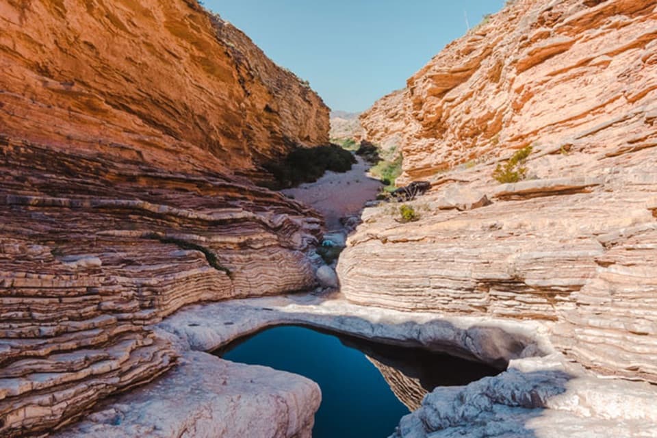 EasyErnst Tinaja Trail1 mi · 1 hr · 7 mi awayA short walk to giant oyster fossils and a deep desert pool.
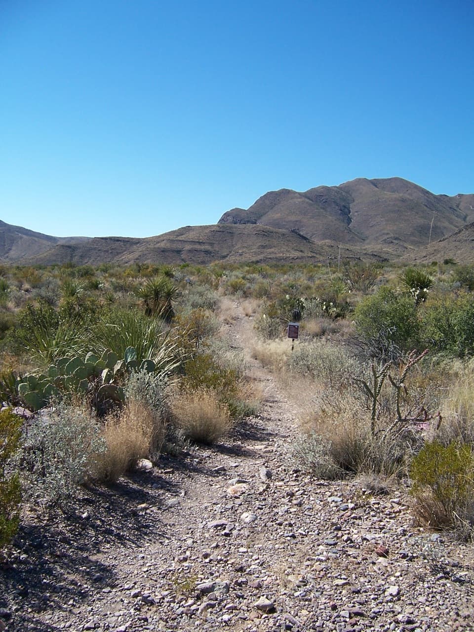 ChallengingJuniper Canyon Trail6.2 mi · 6 hr · 7.2 mi awayA remote 6.2-mile climb from desert grassland to the High Chisos.
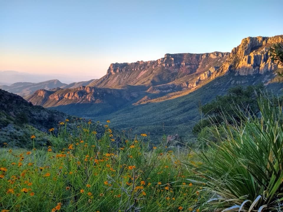 ModerateLost Mine Trail4.8 mi · 3 hr · 9.1 mi awayA stepped climb to a ridge above Juniper Canyon.
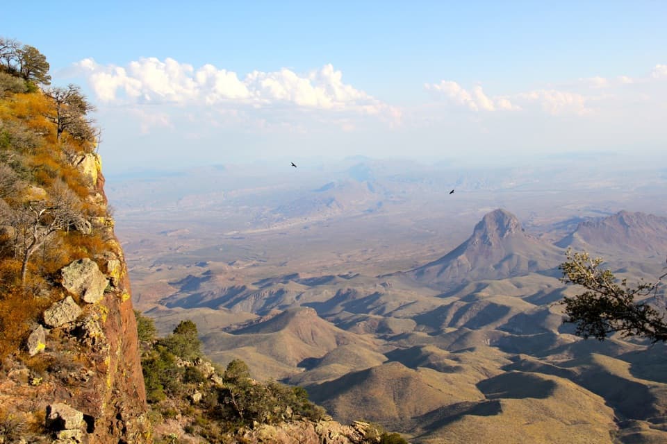 ChallengingSouth Rim Trail12.5 mi · 6.5 hr · 9.9 mi awayA hard climb to the rim, back through Boot Canyon and Pinnacles.
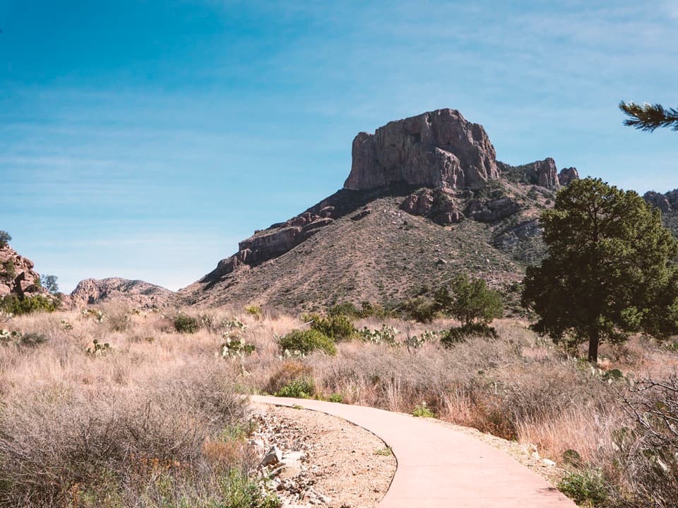 EasyWindow View Trail0.3 mi · 30 min · 9.9 mi awayA paved Basin loop with a clear view through the Window.
 ChallengingEntire Rim Loop13.6 mi · 9 hr · 9.9 mi awayBoth Chisos rims and Boot Canyon in a full-day loop.
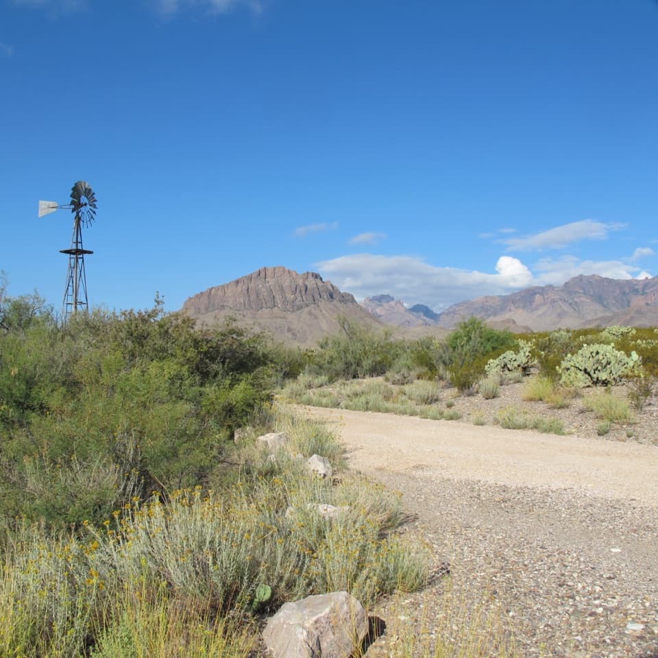 Picnic area · At the trailheadDugout WellsA shady desert oasis with a short loop through Chihuahuan plants.
 Visitor center · 5.7 mi awayPanther Junction Visitor CenterStart here before the long drives through the park.
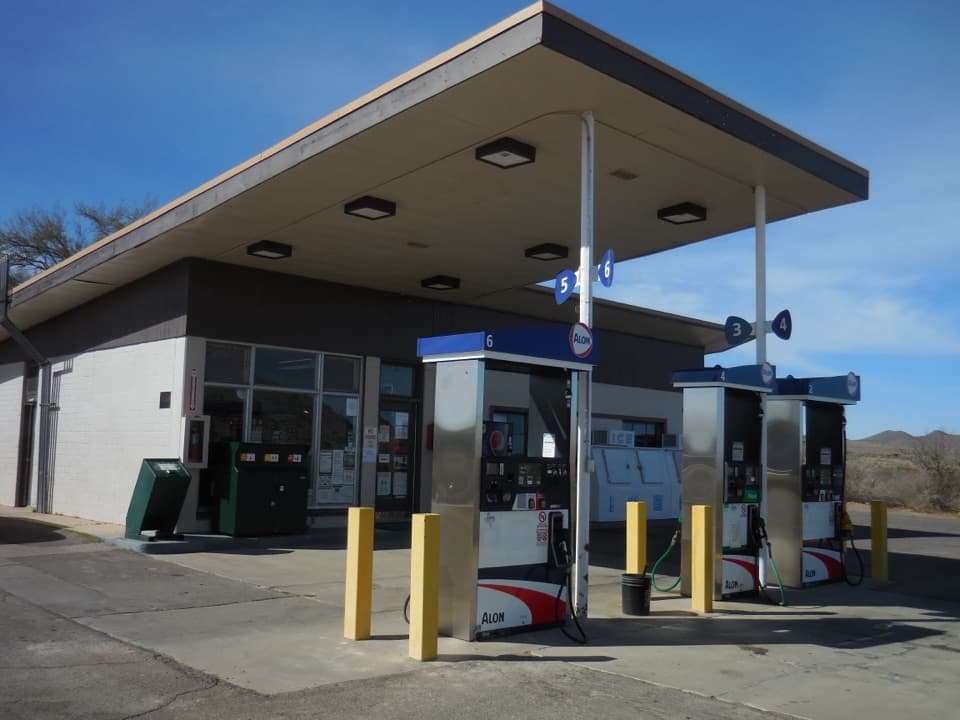 Gas station · 5.9 mi awayPanther Junction Service StationA 1958 Mission 66 station still serving a remote park.
 Sight · 6.7 mi awayGlenn Spring Historic SiteA spring, a wax camp, and a violent night in 1916.
 Sight · 7 mi awayNina Hannold's GravesiteA cactus-lined path leads to a pioneer family's grave.Sight · 7.8 mi awayErnst TinajaFolded orange limestone frames a fossil-rich desert pool.
 Scenic pullout · 8.5 mi awayAnimal Highways ExhibitA quick stop to read the dry wash as a wildlife corridor.
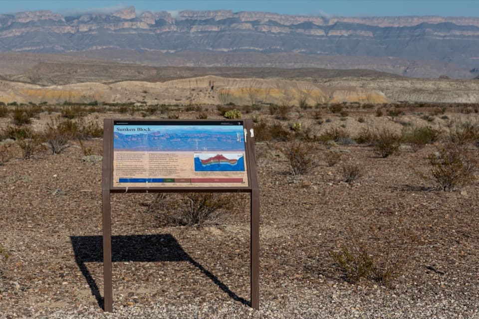 Sight · 8.7 mi awaySunken Block ExhibitA roadside geology stop that makes Big Bend's sunken basin click.
Parkwolf’s Big Bend ranking

The audio tour guide for the drive, plus offline maps, trails, and wildlife heatmaps for when the signal drops.