Parking
Day hikers may park near the gate at the end of Pine Canyon Road. Reaching it takes about 6.4 miles along unimproved Glenn Springs and Pine Canyon Roads; a high-clearance vehicle is required.

#10 of 45 trails in Big Bend
Big Bend National Park, TX
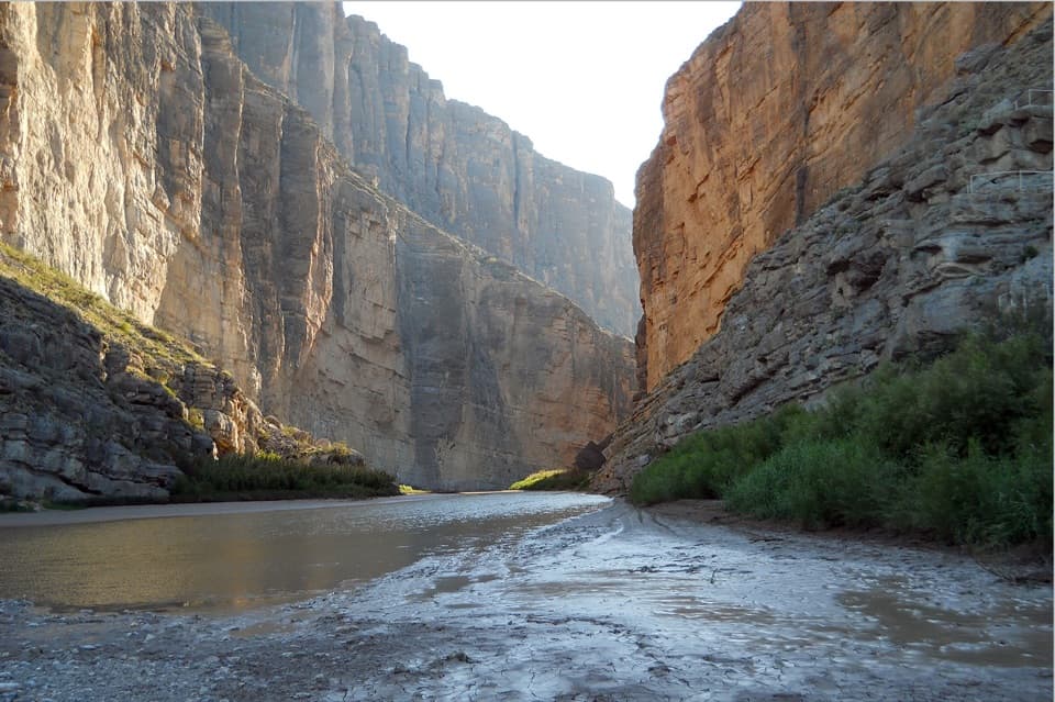
Desert grassland gives way to a shaded canyon and cliff pour-off.
Overview
Map & elevation
Plan your hike

The highest, rockiest slopes around here are a summer buffet for grizzly bears.
Big Bend Tour Guide
Parkwolf is a GPS audio tour guide for Big Bend National Park. As you drive, it chimes in with what’s ahead: hidden gems, upcoming stops, history, geology, and wildlife, right through your car’s speakers.
See the Big Bend audio tourRecorded for this trailhead
Pine Canyon Trail Access“You're nearing the Glenn Springs Road turnoff for Pine Canyon Trail, about six miles farther along rough roads requiring high clearance.”
Plays as you drive up to this trailhead in the Parkwolf Big Bend Tour Guide.
More stories near here in the app
“Fantastic app with many points of information… It’s great to just turn on while you’re driving and it gives you an audio tour of the national Park. We love it!!!!”


Trail guide
Pine Canyon Trail is a 4-mile out-and-back from the end of Pine Canyon Road to the base of a 100-foot cliff pour-off. Plan on about three hours and 1,000 feet of climbing on the way in. The walk starts in open desert and ends in a pocket of oak-and-pine woodland. The rough high-clearance drive and exposed climb are part of the commitment; the reward is the sharp change in scenery at the canyon's end.
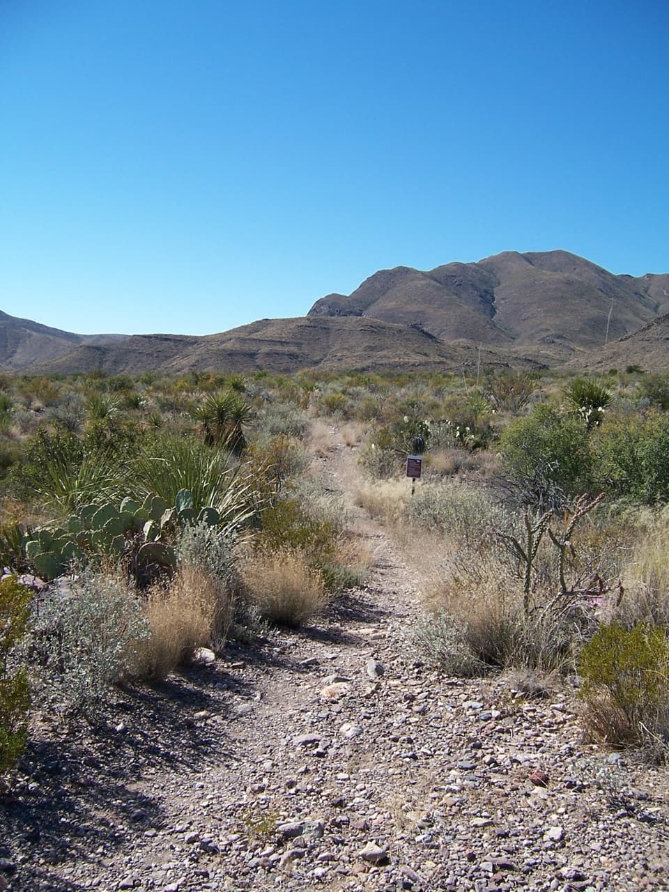
For the first 1.5 miles, the trail climbs steadily through sotol grassland on rocky, uneven ground. Shade is scarce, while the high canyon walls draw closer as you gain height. Start early, before afternoon heat, and carry enough water for the full return trip. The walls also expose the canyon's volcanic geology, so there is plenty to look at during the steady climb.
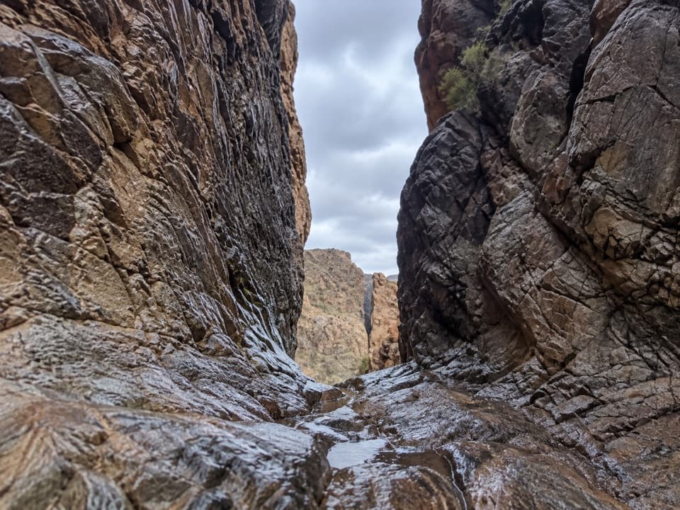
The last half-mile is the hardest stretch: the tread enters oak-and-pine woodland, then steepens over loose gravel to the base of the pour-off. This is the turnaround, so you descend the same rough pitch. Take your time on the way down, when the loose footing needs just as much attention. The pour-off may become a temporary waterfall after summer rain; the cliff is the destination either way.
Oaks, junipers, maples and pines replace the open sotol in the shaded canyon. This woodland is a relict of the last Ice Age, an isolated patch of forest that makes the end of the walk feel very different from its start. At the cliff base, look up along the pour-off and include the surrounding canyon wall in a photo to show its scale. Give yourself a few minutes at the end to look back up from the shade before starting the steep return.
Black bears are regularly observed in the canyon. Give them room, never approach them, and don't leave food unattended. Their return to Big Bend has been dramatic: there were virtually no resident bears by 1944, and recorded sightings rose from 27 in 1988 to 572 in 1996. This is a sensitive natural area and day use only; camping in the canyon is prohibited. Dogs and other pets are not allowed on park trails.
Day hikers may park near the gate at the end of Pine Canyon Road. Reaching it takes about 6.4 miles along unimproved Glenn Springs and Pine Canyon Roads, and a high-clearance vehicle is required. The roads are rocky and can rut or wash out after heavy rain, so check current conditions before driving. Five primitive campsites sit along the access road, separate from the hike; they require a backcountry permit and have no shade or toilets.
Wildlife
 377 sightingsBlack BearMost seen around 7 PMSighting map
 329 sightingsCollared PeccaryMost seen around 7 PMSighting map
 500 sightingsWhite-tailed DeerMost seen around 7 PMSighting map
 985 sightingsRoadrunnerMost seen around 8 AMSighting map
 228 sightingsRavenMost seen around 5 PMSighting map
 264 sightingsTurkey VultureMost seen around noonSighting map
Sighting maps show where each species has been reported across Big Bend. Wildlife moves, so no sighting is guaranteed.
Keep exploring
 ChallengingJuniper Canyon Trail6.2 mi · 6 hr · 3.1 mi awayA remote 6.2-mile climb from desert grassland to the High Chisos.
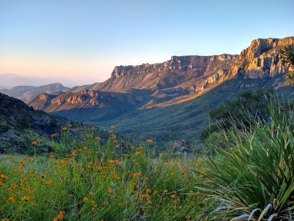 ModerateLost Mine Trail4.8 mi · 3 hr · 3.6 mi awayA stepped climb to a ridge above Juniper Canyon.
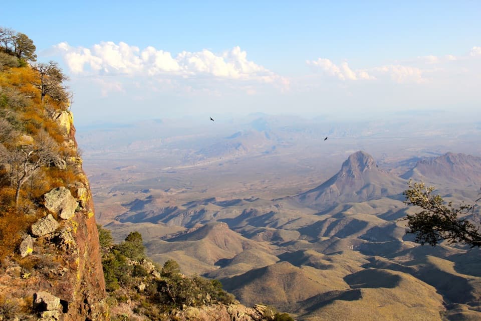 ChallengingSouth Rim Trail12.5 mi · 6.5 hr · 4.4 mi awayA hard climb to the rim, back through Boot Canyon and Pinnacles.
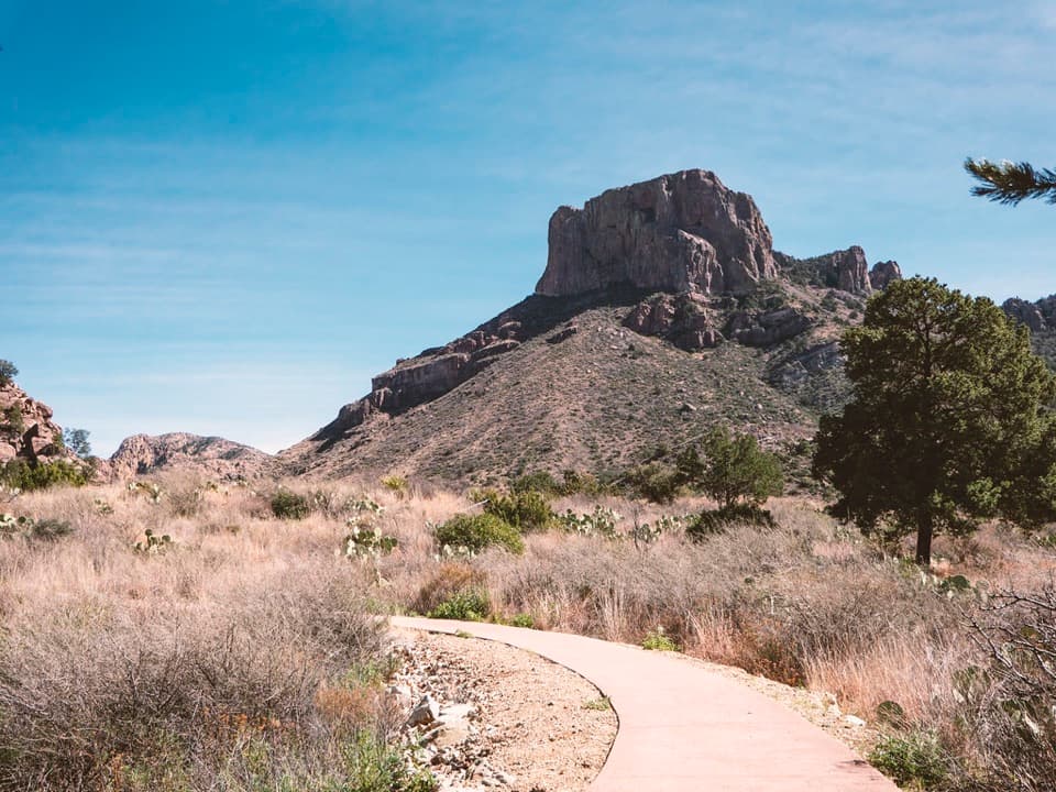 EasyWindow View Trail0.3 mi · 30 min · 4.4 mi awayA paved Basin loop with a clear view through the Window.
 ChallengingEntire Rim Loop13.6 mi · 9 hr · 4.4 mi awayBoth Chisos rims and Boot Canyon in a full-day loop.
 ChallengingPinnacles Trail7 mi · 4.5 hr · 4.4 mi awayA steep, shaded climb to a high pass above the Basin.
 ModerateLaguna Meadow Trail7.4 mi · 4.5 hr · 4.4 mi awayA steady climb into meadow country with views back to the Basin
 ChallengingEmory Peak Trail10.5 mi · 7 hr · 4.4 mi awayA full-day climb to Big Bend’s highest summit and wide-open views.
 Scenic pullout · 3.4 mi awayTree Zone ExhibitStand under an oak where desert plants meet mountain woodland.
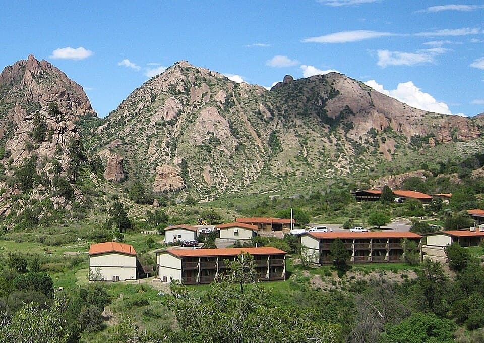 Lodging · 4.3 mi awayChisos Mountains LodgeStay at the park's only lodge, high in Chisos Basin.
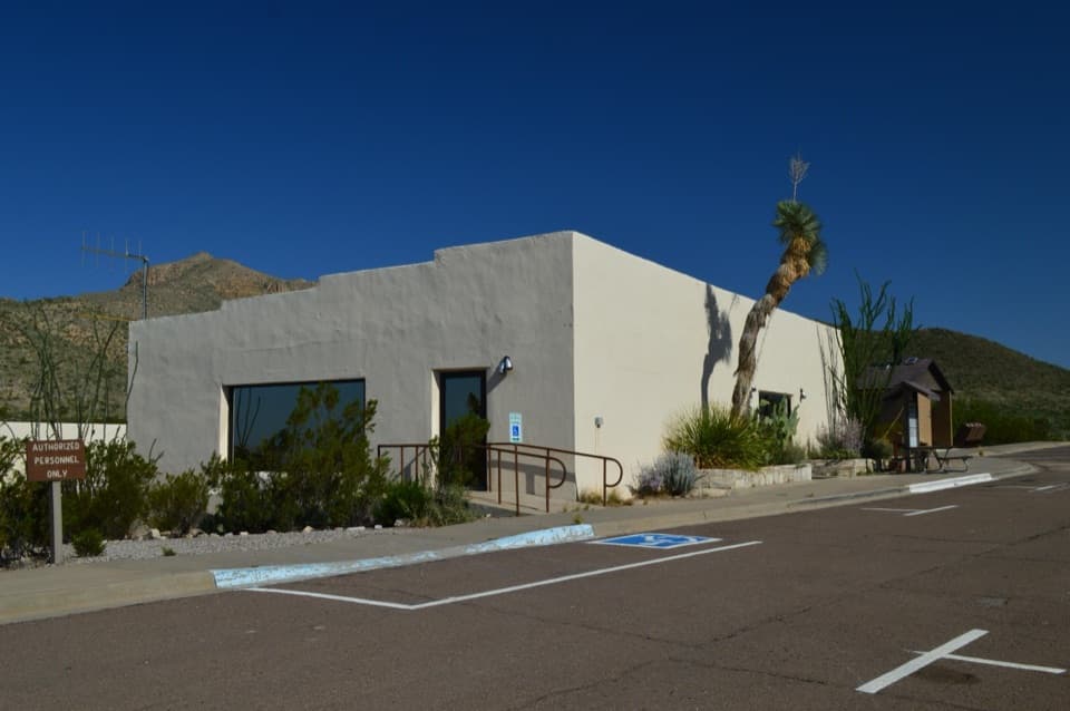 Visitor center · 4.4 mi awayChisos Basin Visitor CenterA quick Chisos wildlife primer before you head for the Basin trails.
 Store · 4.4 mi awayChisos Basin StoreCold drinks and camp basics, without a detour from the Basin.
 Visitor center · 4.4 mi awayPanther Junction Visitor CenterStart here before the long drives through the park.
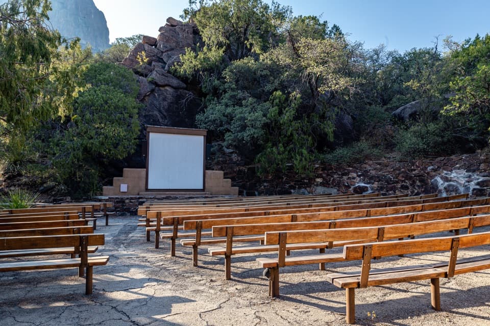 Sight · 4.4 mi awayChisos Basin AmphitheaterRanger talks bring local stories to a stone stage outdoors.
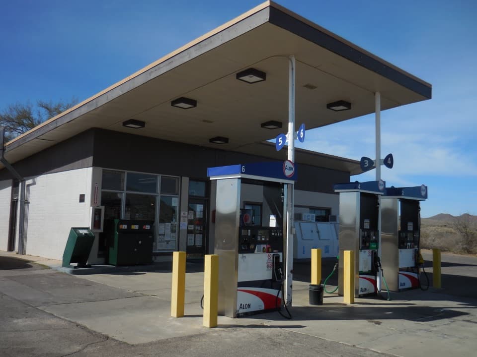 Gas station · 4.5 mi awayPanther Junction Service StationA 1958 Mission 66 station still serving a remote park.
 Campground · 4.5 mi awayChisos Basin CampgroundHigh-country camping for hikers; road and site size favor smaller rigs.
Parkwolf’s Big Bend ranking

The audio tour guide for the drive, plus offline maps, trails, and wildlife heatmaps for when the signal drops.