
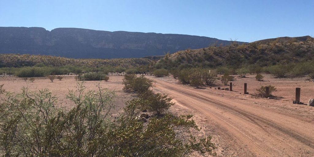
Place · 11.1 mi away
Challenging
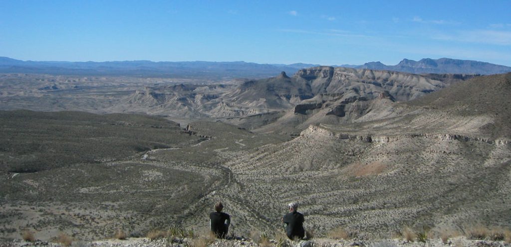
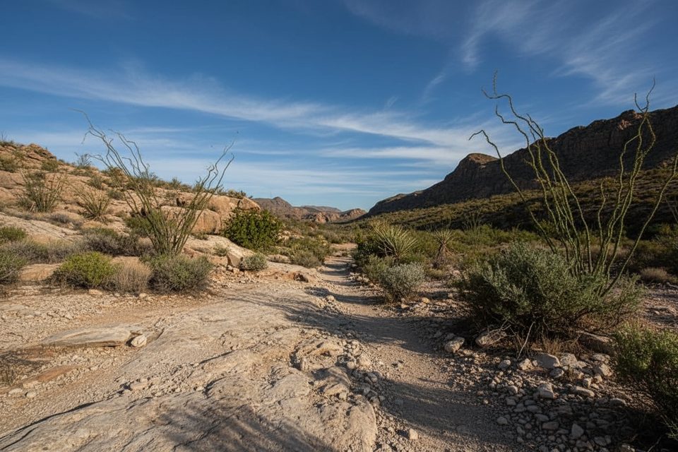
If you’re chasing solitude and big, wild desert views, this remote route delivers. The Mesa de Anguila Trail climbs from near Lajitas at the park’s far western edge to a lofty mesa with sweeping panoramas over the Rio Grande and the U.S. side of Santa Elena Canyon. It’s rugged, exposed, and committing—best for experienced hikers who are comfortable navigating faint paths in true backcountry.
This is typically done as a challenging 12.9-mile out-and-back (total mileage), though the mesa supports longer exploratory routes for skilled parties. Overnight trips are allowed with a backcountry permit; day hiking does not require one.
From the Lajitas access, you’ll follow cairns across open desert before tackling a steep, often loose climb to a high point locals call “The Saddle.” Expect sections that feel more like a rockslide than a maintained trail—trekking poles help. Once on top, the path is faint and periodically disappears, so you’ll be reading terrain across high desert, washes, and limestone outcrops en route to spectacular overlooks.
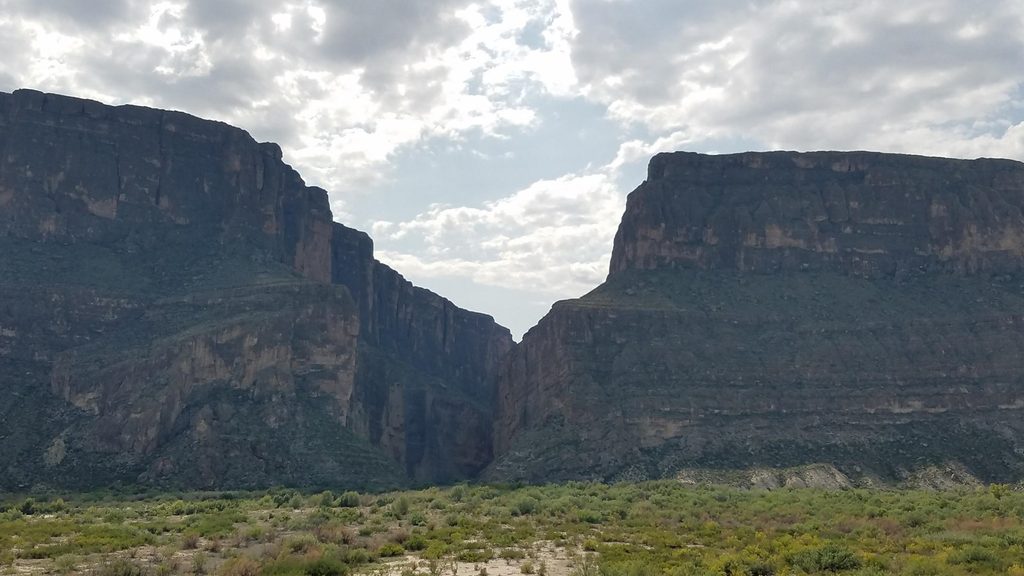
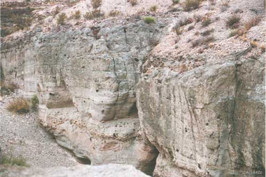
The payoff is immense: panoramic vistas into Santa Elena Canyon, sheer cliffs dropping roughly 1,500 feet to the Rio Grande, and far-reaching desert horizons. Keep an eye out for natural tinajas—rock basins like Tinaja Blanca and Tinaja Lujan—but treat them as scenery, not a water source.
This hike is challenging to strenuous due to the steep initial climb, rugged footing, full exposure, and real routefinding. Cairns help, but they’re not enough on their own. GPS plus solid map-and-compass skills are essential on the mesa where the trail often fades. Cell service is unreliable. Water is scarce to nonexistent; carry everything you need and plan conservatively.
Open year-round, but the sweet spot is the cool season—fall, winter, and early spring—when temperatures are manageable. Late spring and summer heat can be dangerous on this fully exposed route. Start early to beat the sun and give yourself plenty of daylight for navigation.
Absolutely—if you’re prepared. This is one of the park’s most isolated, underrated big-view hikes. If you want an easy, signed path with crowds and amenities, look elsewhere. If adventure and silence call your name, this mesa will be a favorite.
Access the trailhead near Lajitas on the park’s western edge; it is reached without going through the main park entrances and has no services.
Remote, exposed backcountry with a steep, loose ascent and faint tread on the mesa; navigation skills and GPS are essential. Carry all water—tinajas are unreliable. Cell coverage is spotty. Overnight trips require a backcountry permit; pets are not allowed on park trails.
Place · 11.1 mi away
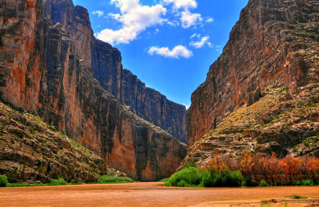
Place · 11.8 mi away
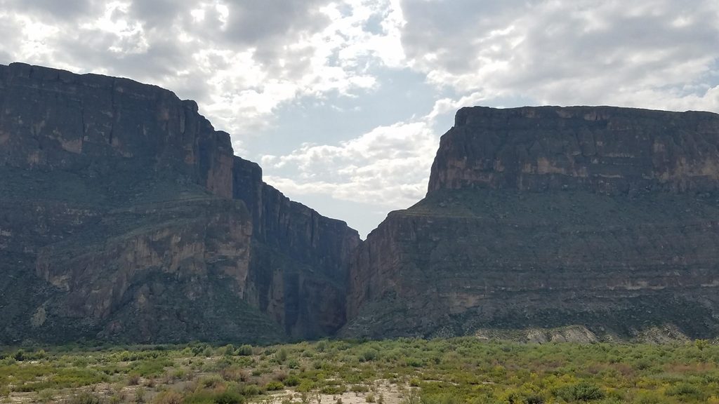
Place · 11.9 mi away
Place · 13.9 mi away
Challenging · 0 mi away
Easy · 11.9 mi away
Easy · 13.9 mi away
Easy · 18.9 mi away

Parkwolf Tour Guide
