
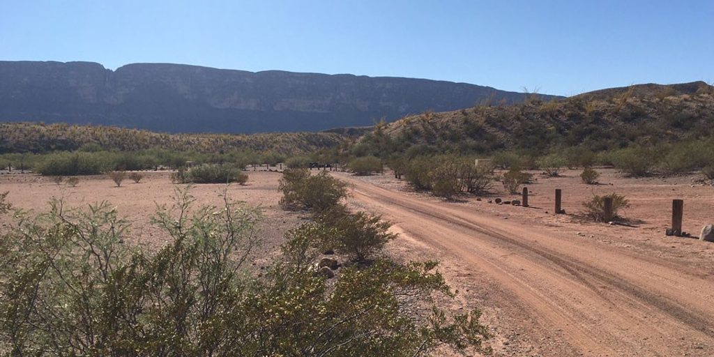
Place · 11.1 mi away
Challenging
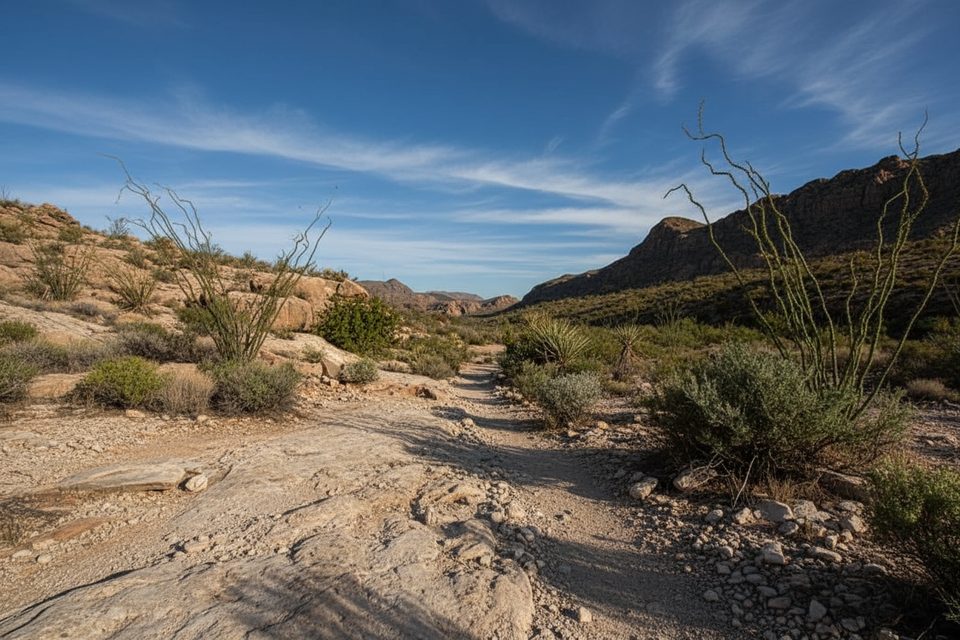
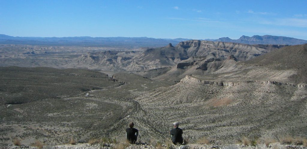
Strawhouse is a remote, rugged backcountry route in Big Bend’s eastern desert, best suited to experienced hikers who love solitude and navigating faint paths. Expect classic Chihuahuan Desert scenery—wide gravel washes, rocky canyons, sparse grasses, and cacti—plus big open views and, near the southern end, vistas toward the Rio Grande and even Boquillas del Carmen across the border.
This is not a polished, signed day hike. The route alternates between wash walking and rocky climbs over saddles and outcrops, with occasional boulder hopping in canyon bottoms that makes it a no-go for stock. Cairns mark the way in spots, but there are long gaps between them and a few poorly marked splits—especially where side routes branch off—so you’ll need to stay alert. A large, unmistakable cairn marks the junction with Telephone Canyon and the Marufo Vega system.
For planning: reports describe a “Lower Strawhouse” section around 7.8 miles total, with loop options using Marufo Vega/Telephone Canyon ranging roughly from 7 to 16+ miles depending on how you connect segments. Time on trail varies widely by route and conditions; plan on 5–8 hours for the longer lower section if you’re efficient with navigation.
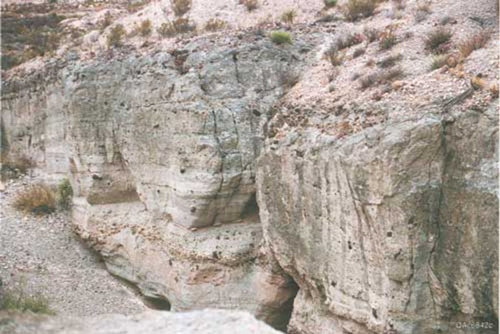
This corridor is a mini geology field trip—keep an eye out for fault scarps and striking, steeply tilted beds of Santa Elena Limestone where the trail crosses a notable fault zone. The contrasts in rock layers are obvious even to non-geologists. Vegetation is classic desert: hardy grasses and thorny shrubs with scattered cacti.
Navigation is the crux. Carry a detailed map and GPS, and watch carefully for cairns at junctions. Long pants help against thorny brush. There is no water on route, no shade, and full exposure—bring ample water, sun protection, and be ready for big temperature swings. Some canyon sections require boulder hopping and slow going.
Late fall, winter, and early spring are the windows here. Summer heat and total exposure make this a risky choice in hot months. Winter nights can be freezing, but daytime hiking conditions are usually far more manageable than in summer.
If you’re after solitude, desert geology, and a choose-your-own-adventure connection into Marufo Vega/Telephone Canyon, Strawhouse delivers. If you prefer obvious tread and marquee scenery on a well-signed trail, you’ll likely be happier on one of the park’s featured desert routes. For skilled backcountry hikers, it’s a rewarding, under-the-radar slice of Big Bend.
Park at the Boquillas Canyon Overlook area; the route heads into washes and canyons from the eastern side of the park.
Primitive, poorly marked route with long waterless stretches, full sun exposure, thorny brush, and boulder-hopping in canyons. Carry ample water, sun protection, and reliable navigation; some junctions are easy to miss.
Place · 11.1 mi away
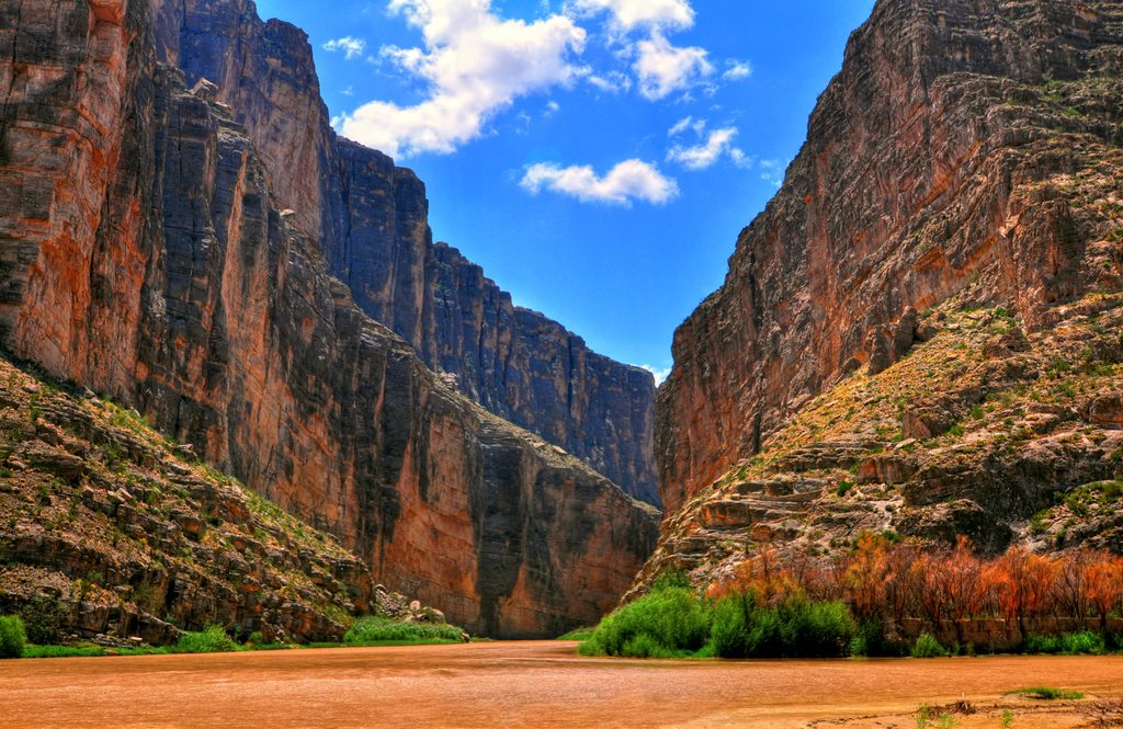
Place · 11.8 mi away
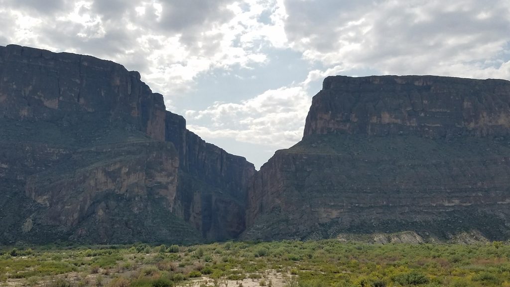
Place · 11.9 mi away
Place · 13.9 mi away
Challenging · 0 mi away
Easy · 11.9 mi away
Easy · 13.9 mi away
Easy · 18.9 mi away

Parkwolf Tour Guide
