
Place · 0.3 mi away
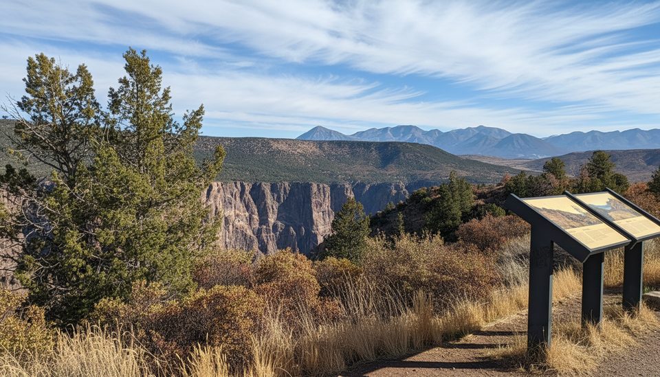
High Point is the turnaround at the far western end of the South Rim Road and the launching spot for the short Warner Point Nature Trail. It’s the logical finale to the drive, with a big-horizon feel and immediate access to rim walking.
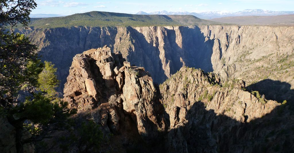
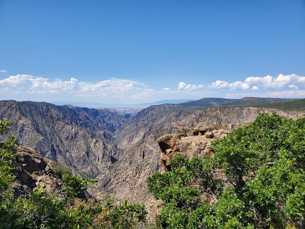
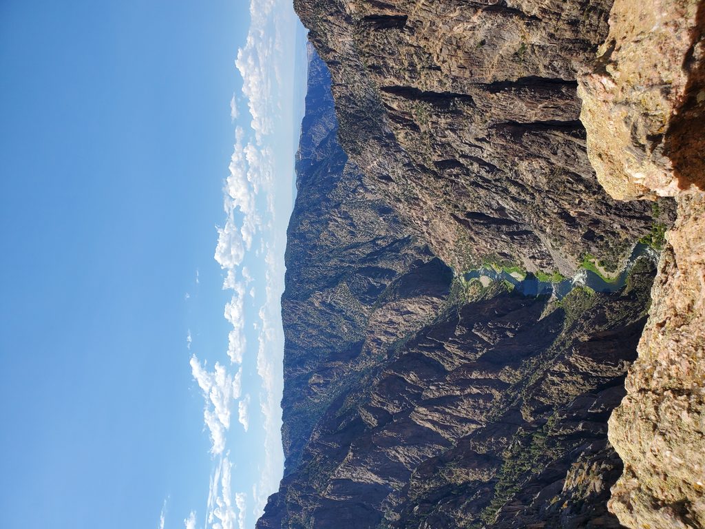
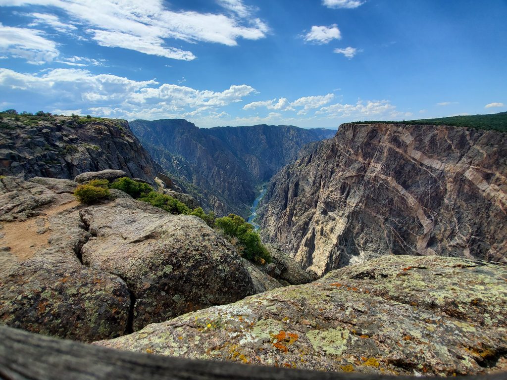
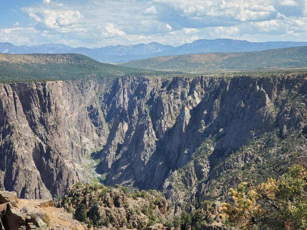
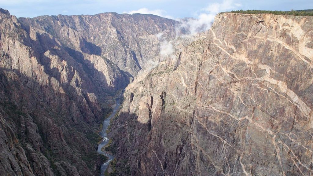
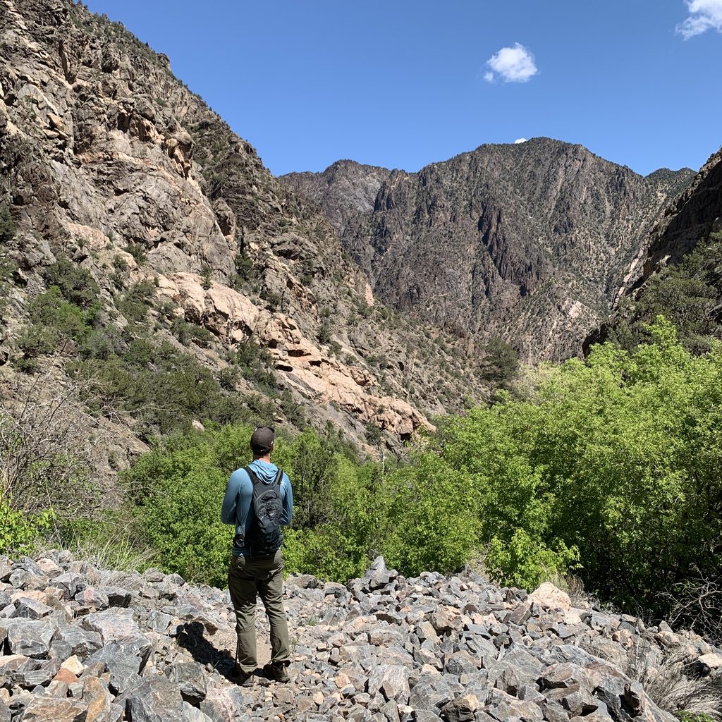
Expect sweeping looks into the Black Canyon with glimpses of the Gunnison River and distant ranges, plus a mix of piñon-juniper woodland, sagebrush, and rocky outcrops. Typical rim-side wildlife here includes mule deer, raptors, songbirds, and lizards.
The Warner Point Nature Trail begins here and runs roughly 1.5 miles round trip to an even grander promontory. It’s a mellow rim walk with interpretive signs that unpack the area’s geology and plant life. The trail is exposed—bring sun protection and water.
This is a simple end-of-road parking area with a trailhead—no food, store, or water here. On the South Rim, water is limited and trucked in; fill up at the visitor center or campground before driving out. In winter, the South Rim Road is closed to vehicles from Gunnison Point to High Point, so plan accordingly if you’re visiting in the cold season.
You’re standing atop some of the oldest exposed rocks in Colorado—hard Precambrian gneiss and schist. The canyon’s impressive depth and narrowness owe to the Gunnison River carving relentlessly through these uplifted, resistant layers.
If you’re short on time, prioritize the marquee overlooks closer to the visitor center and save High Point for when you can tack on the Warner Point walk. If you’ve got the time, this quieter end-of-the-road stop is a satisfying capstone.
Early morning or late afternoon offers better light and fewer people. Midday in peak season sees the small lot fill. Winter brings the recurring vehicle closure beyond Gunnison Point; shoulder seasons are calmer and often lovely.
Place · 0.3 mi away
Place · 0.7 mi away
Place · 1.3 mi away
Place · 1.5 mi away
Easy · 0 mi away
Challenging · 0 mi away
Easy · 1.5 mi away
Challenging · 1.8 mi away

Parkwolf Tour Guide
