
Place · 0 mi away
Easy
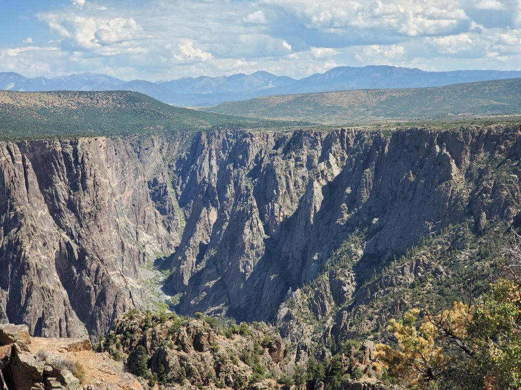
This is the South Rim’s end-of-the-road nature walk, starting from the High Point parking area and running out-and-back to Warner Point. It’s a 1.5 miles round trip, on a well‑maintained, unpaved path with gentle rollers and a few short, steeper pitches. Plan on about an hour if you like to linger at viewpoints and read the interpretive stops.
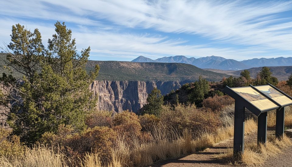
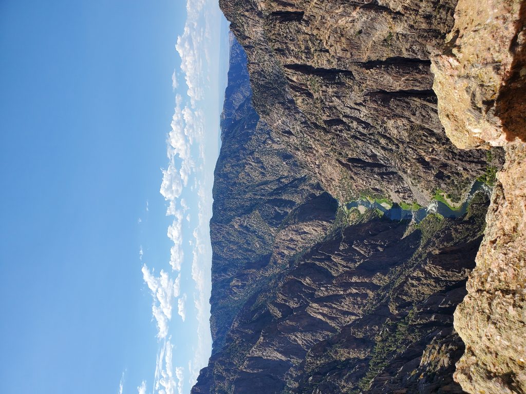
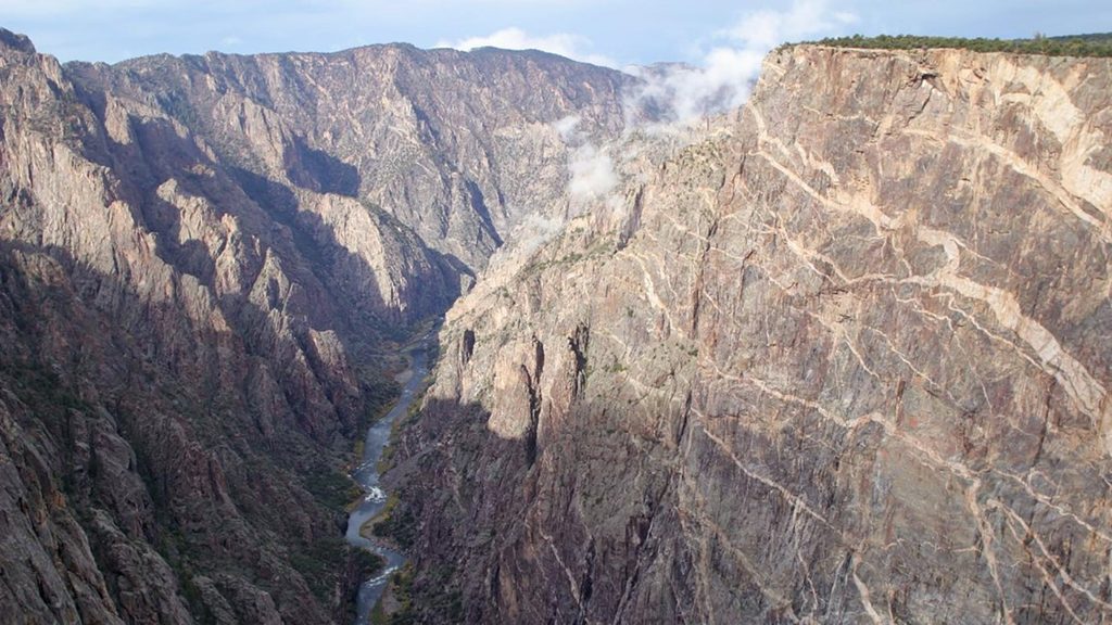
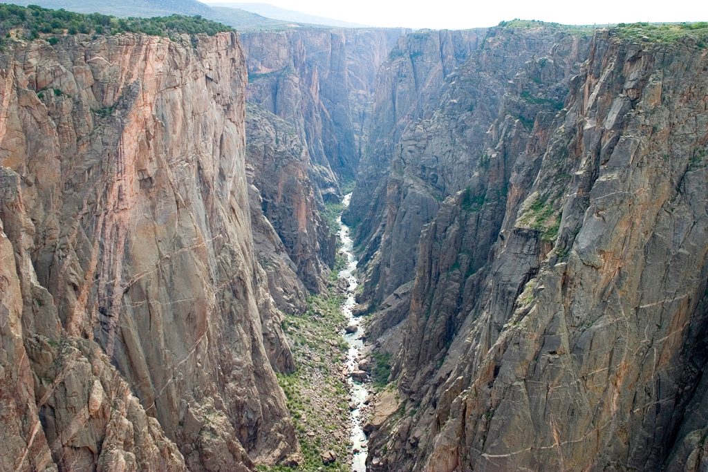
The payoff is big for a short hike: commanding views straight into the Black Canyon and down to the Gunnison River, plus sweeping panoramas beyond the canyon. On clear days you can spot the San Juan Mountains, the Uncompahgre Valley and Bostwick Park to the south, and the West Elk Mountains to the north. Along the way, you’ll pass pinyon pine and juniper with mountain mahogany and serviceberry mixed in—classic South Rim vegetation that offers intermittent shade and texture.
Expect rolling elevation rather than one sustained climb. Some grades are surprisingly steep for a “nature trail,” and there are sections with significant drop‑offs, so keep kids close and stay on the tread. Benches appear at intervals (a nice touch on warm days), and a free trail guide with numbered stops adds context on the area’s geology and ecology.
Spring through fall is prime. Spring and early summer bring more wildflowers and wildlife activity; summer delivers the most stable access but also the most heat and crowds. Midday sun can be harsh and exposed—go early or late for cooler temps, softer light, and easier parking. Clear‑weather days maximize those long‑range mountain views. In winter, snow and ice can affect the South Rim—always check current conditions.
Park at High Point at the very end of South Rim Drive (pit toilets on site; no water). This short walk is popular and the lot can fill in peak season—arrive early. Wear sturdy shoes for the uneven, unpaved surface, carry water and sun protection, and grab the interpretive booklet at the trailhead. Don’t confuse this easy rim stroll with the much tougher inner‑canyon Warner Route—they’re entirely different experiences.
For minimal effort, Warner Point dishes up maximum perspective—canyon drama plus distant mountain backdrops. If your time is short and you want one rim walk with a big finish, this is a smart pick.
High Point parking area at the very end of South Rim Drive; pit toilets available. Lot can fill in peak season—arrive early.
Unpaved, uneven tread with short, steep grades and significant drop-offs; not wheelchair accessible. Stay on trail, keep kids close, carry water and sun protection, and be bear-aware.
Place · 0 mi away
Place · 0.3 mi away
Place · 0.6 mi away
Place · 1.2 mi away
Challenging · 0 mi away
Easy · 1.5 mi away
Challenging · 1.9 mi away
Easy · 2.4 mi away

Parkwolf Tour Guide
