Challenging

Red Rock Canyon Route

Gradual inner-canyon drop to the Gunnison—wild, remote, and wet.
Red Rock Canyon Route, Black Canyon of the Gunnison National Park
Distance7 mi
Typical time7 hr
DifficultyChallenging
PetsNot allowed

Overview

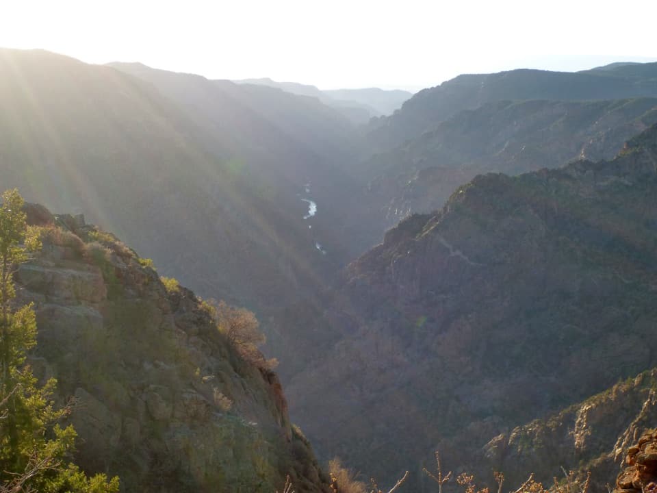
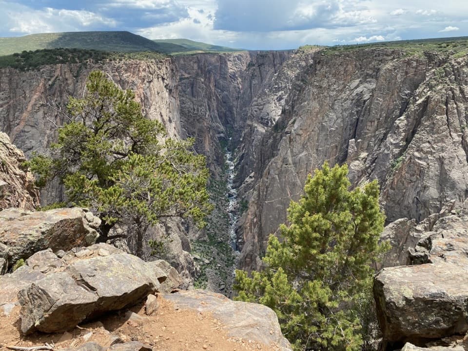
This is the park’s permit-only wilderness route on the southwest side, descending from the rim to the Gunnison River. It’s a primitive, unmarked route—not a maintained trail—so you’re on your own for navigation and self-rescue. Expect about 3.5 miles one way (7.0 miles round-trip) with roughly 1,300 feet of elevation loss to the river that you’ll pay back on the climb out.

What You’ll See

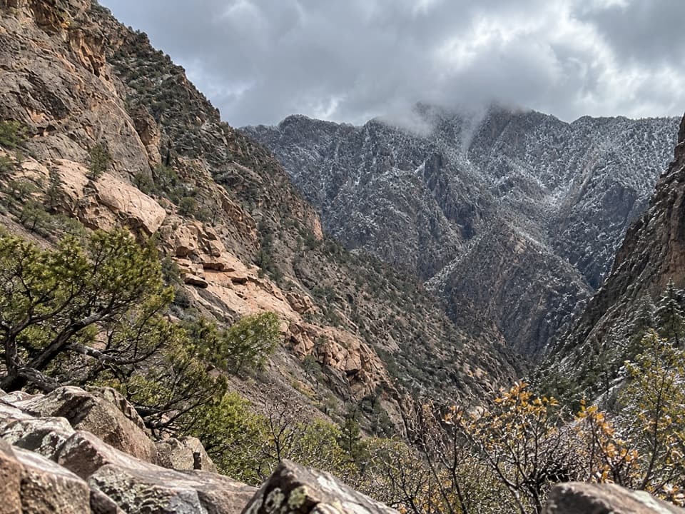
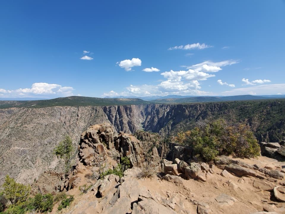
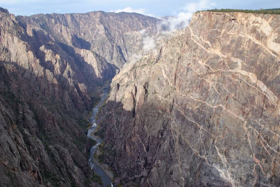
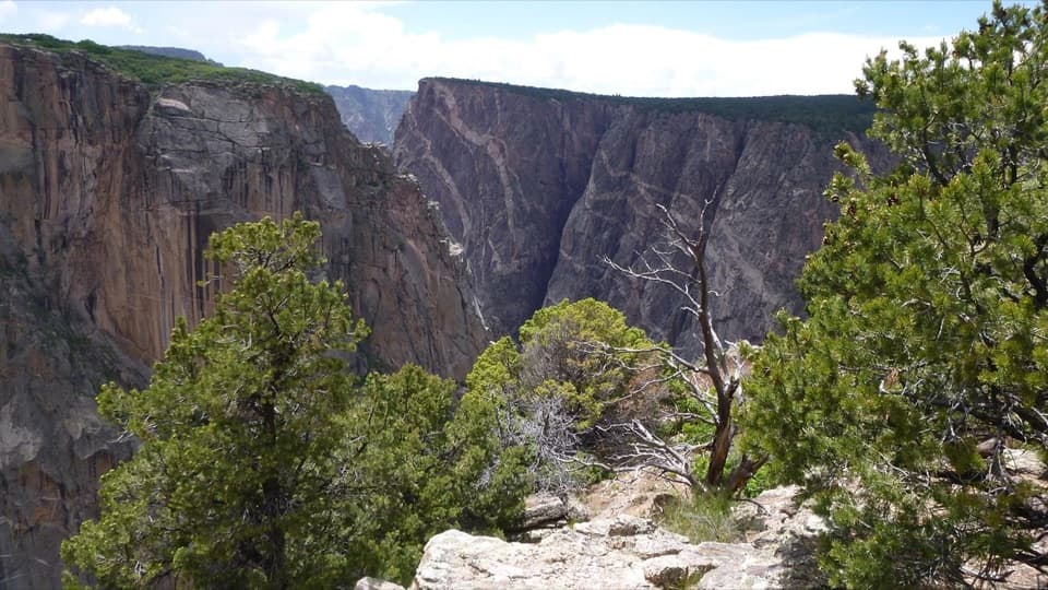
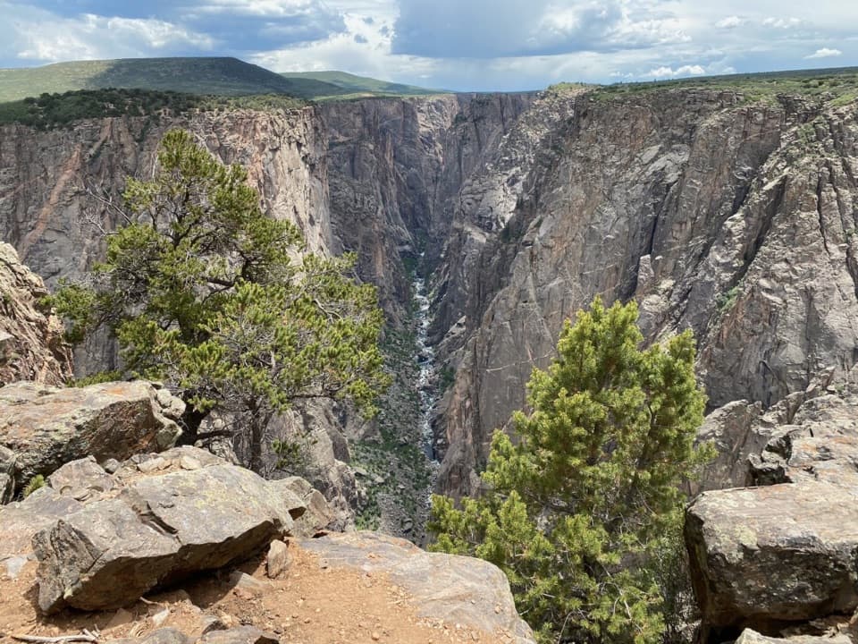
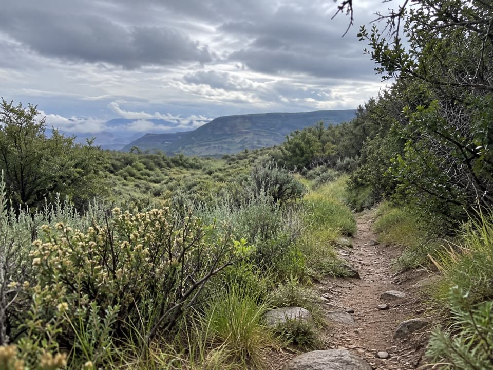
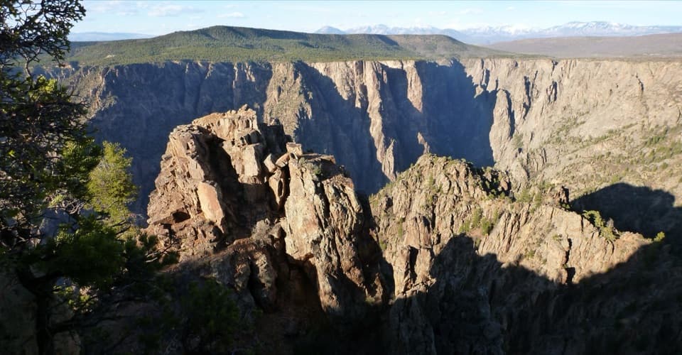
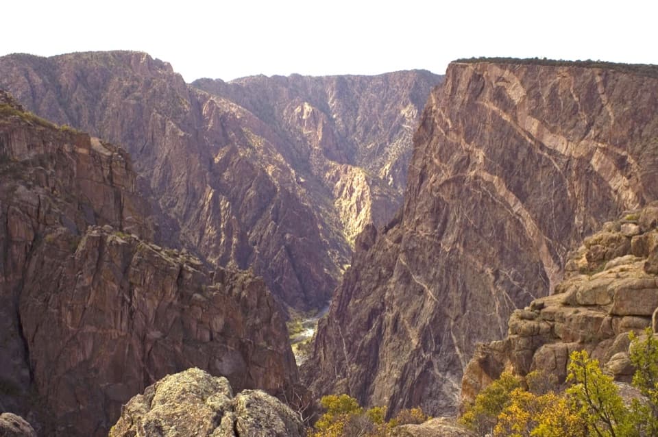
You’ll thread through steep, dramatic canyon walls showcasing the Black Canyon’s ancient metamorphic rock. After an initial stretch on a double-track, the route settles into Red Rock Canyon, following a shallow creek with multiple stream crossings. The lower canyon becomes lush and brushy along a riparian corridor, and the river itself is a renowned Gold Medal fishery—anglers come for wild trout and solitude.

Hiker Experience

Although this is considered the least steep inner-canyon descent here, it’s still a demanding day thanks to the distance, elevation, lack of maintenance, and repeated creek crossings. There’s no signage; pay close attention on the way down to make your return smoother. Waterproof boots or sturdy shoes are smart choices. Poison ivy is abundant in the lower canyon—long pants help.

Permits & Access

A wilderness permit is required for all use (day or overnight), with quotas that keep numbers low. Permits are secured in advance, and you’ll need to display the permit as instructed. There are no regular patrols; you must be self-sufficient and practice Leave No Trace. WAG bags are available at the trailhead—use them and pack everything out.

Best Time to Hike

Historically, access has been limited to a late-spring through early-fall window due to landowner agreements and conditions. Spring and fall typically bring cooler temperatures and fewer bugs; summer can be hot and exposed in the canyon. Winter access is generally not available due to snow and hazardous conditions. Plan on 6–8 hours round-trip if you move steadily and keep breaks short.

Is It Worth It?

If you’re an experienced hiker or angler who wants a quieter inner-canyon descent with reliable river access, this is a standout—more forgiving than other inner-canyon routes, but still very much a true wilderness outing. If you prefer signed, maintained trails or aren’t comfortable with route-finding and stream crossings, choose a rim hike instead.

Pros

  • More gradual grade than other inner-canyon routes, yet equally scenic
  • Reliable river access prized by anglers seeking wild trout
  • Permit quotas keep the canyon quiet and uncrowded

Cons

  • Numerous stream crossings that can be tricky during high water
  • Abundant poison ivy in the lower canyon brush
  • Unmarked, unmaintained route demands confident navigation

Parking

Park at the permit-only trailhead on the park's southwest side; display your wilderness permit on your vehicle dashboard as required.

Caution

Primitive, unmarked route with frequent stream crossings; abundant poison ivy in lower canyon. High water can make crossings hazardous. No regular patrols—be fully self-sufficient.

The Parkwolf tour guide sitting on a phone mounted in a car

Parkwolf Tour Guide

Like a tour guide in your car.

Bring Black Canyon of the Gunnison trail research into the car, with offline maps and stories that play as you drive.Download Parkwolf on the App Store