Pros & cons
PROS
- Sweeping end‑of‑the‑road panorama across the canyon and distant ranges
- Short nature trail with interpretive stops and big payoff
- Gateway to the steep Warner Route for river access (permit required)
CONS
- Requires a short hike with ups/downs and narrow drop‑offs
- Parking at High Point can fill on busy days
Overview
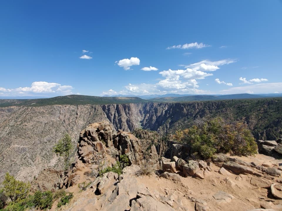
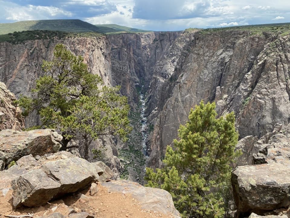
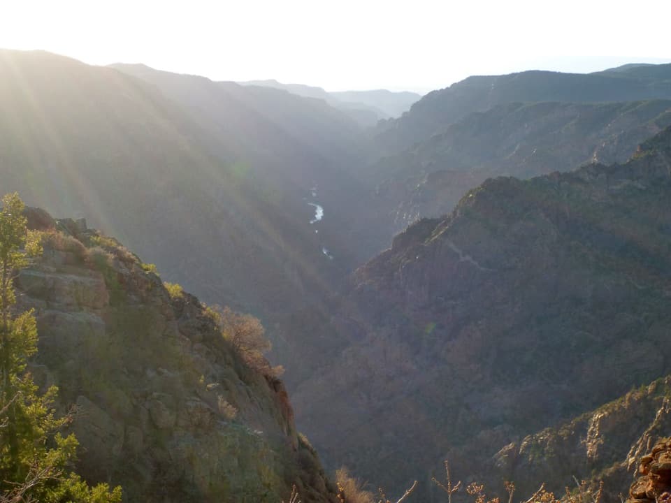
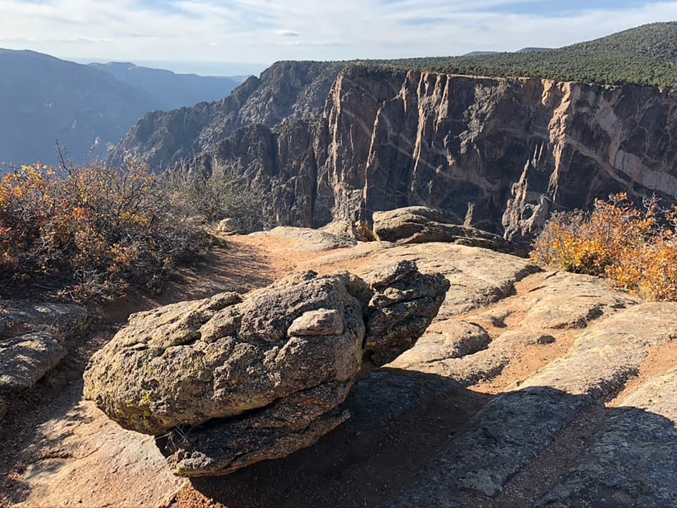
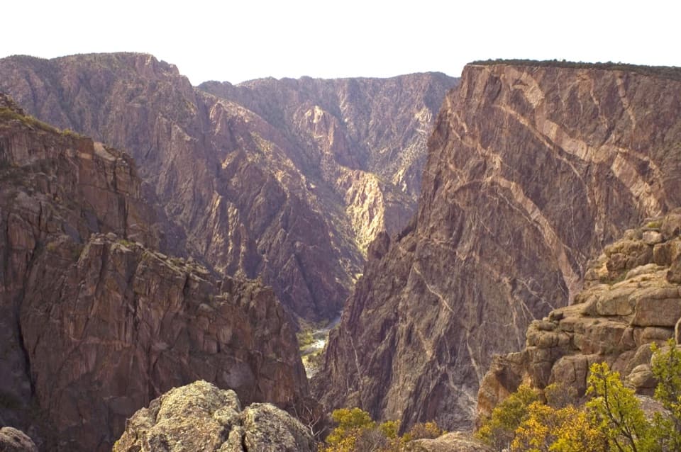
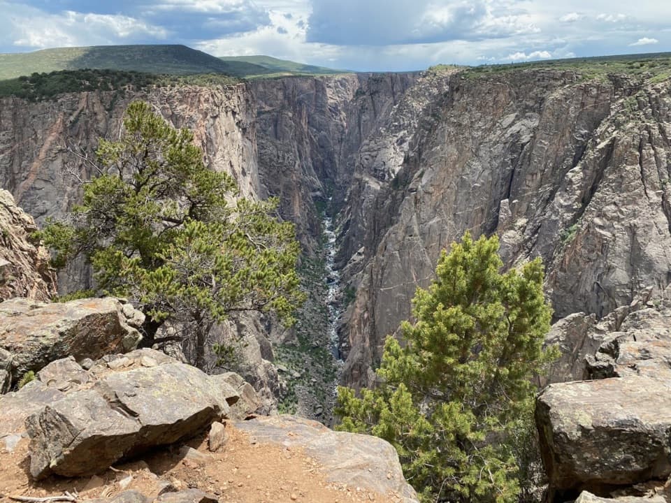
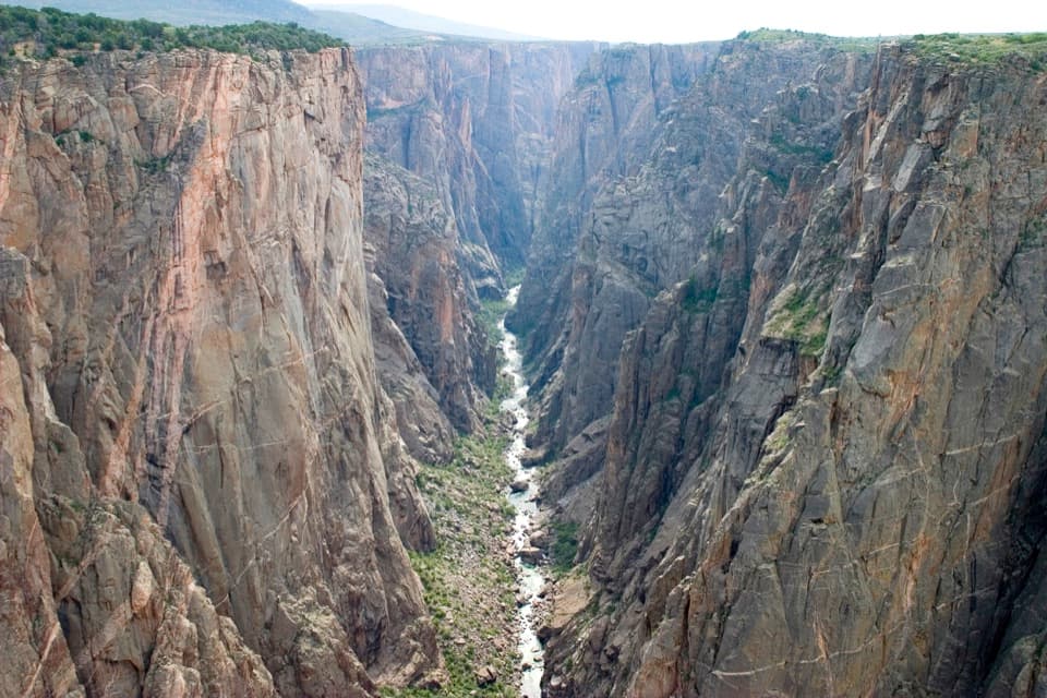
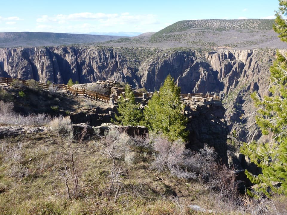
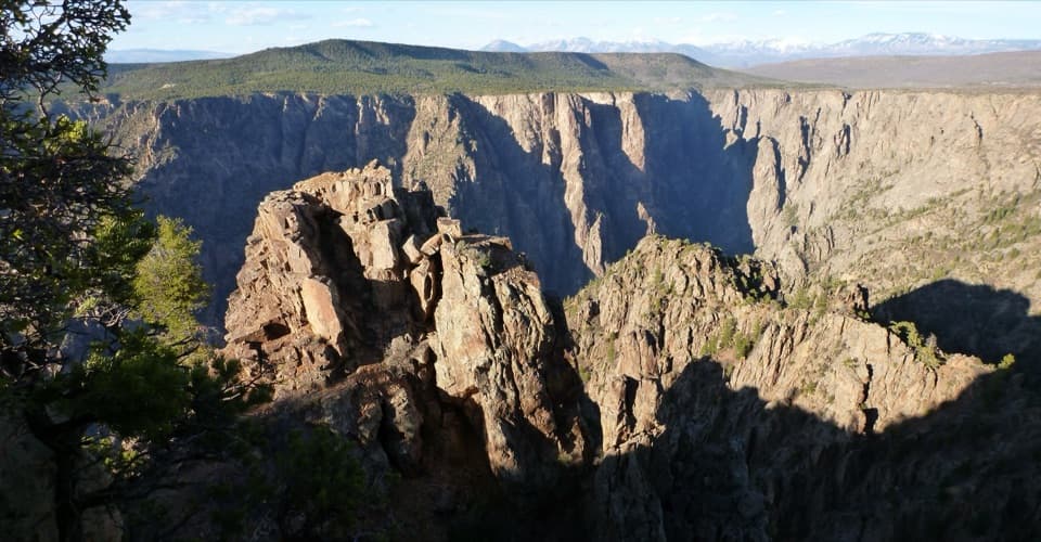
Warner Point caps the South Rim drive with one of the area’s biggest views. From the High Point parking area, a short nature trail winds along a ridge to the overlook, where the canyon drops away and the horizon opens in every direction. It’s regularly called out as a must‑do stop because the effort is modest and the payoff is huge.
What You’ll See
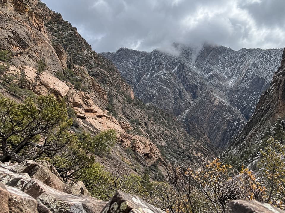
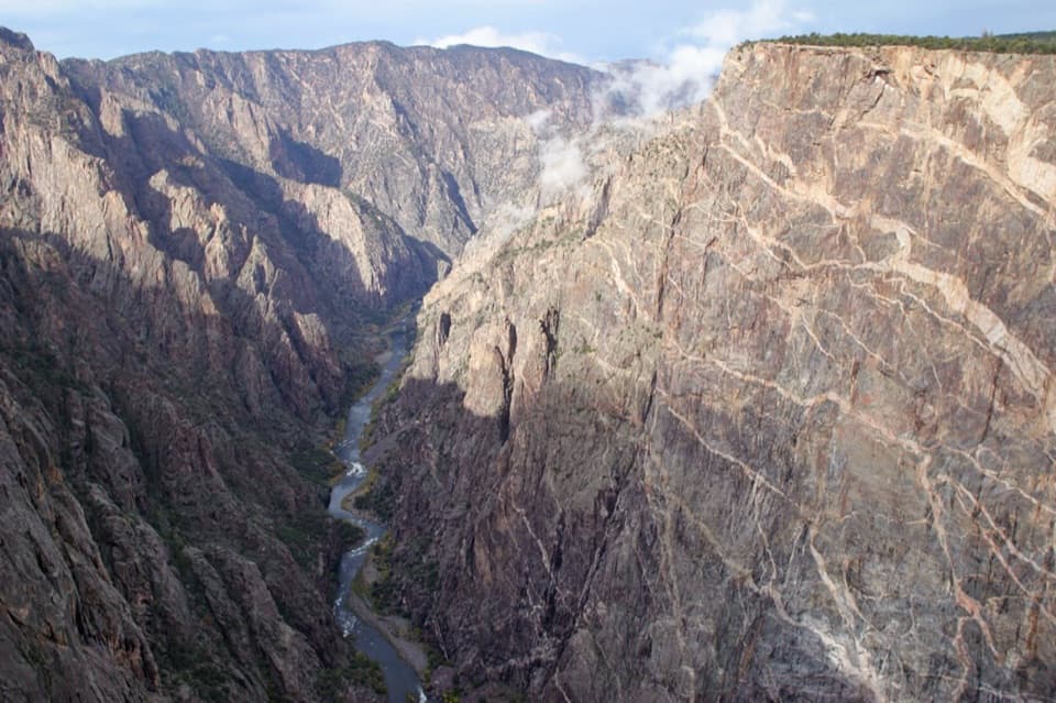
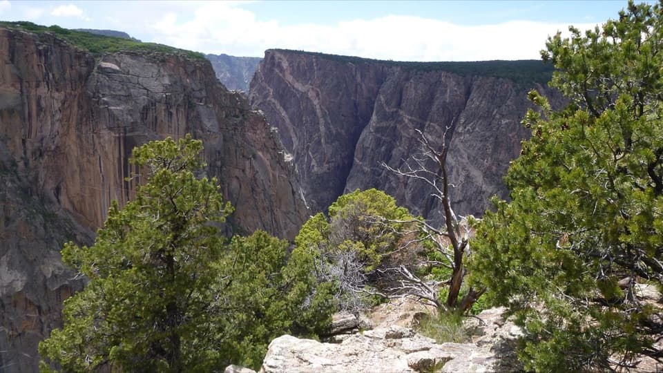
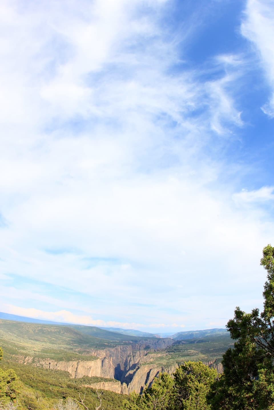
Expect direct, dizzying looks into the Black Canyon and down to the Gunnison River, plus broad sightlines to the San Juan Mountains, the Uncompahgre Valley, Bostwick Park to the south, and the West Elk Mountains to the north. Along the way, you’ll pass pinyon pine, juniper, mountain mahogany, and serviceberry—classic rim‑country flora framing the views.
The Trail
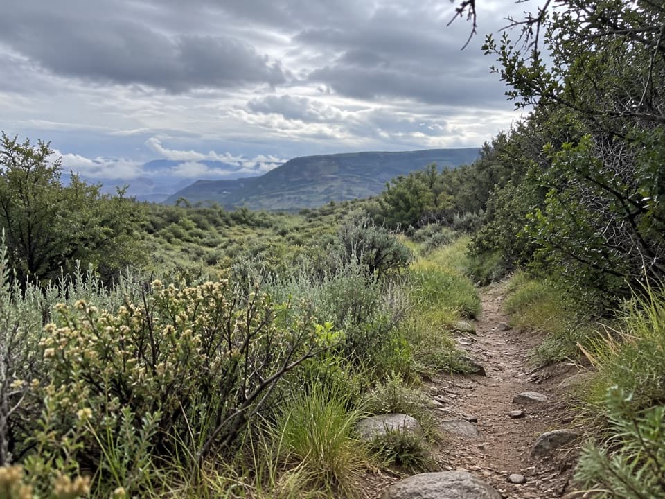
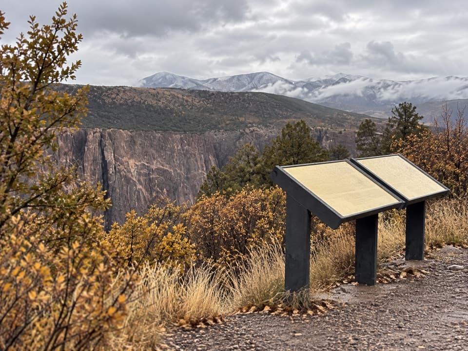
The Warner Point Nature Trail is about 0.8 miles one way, undulating along a narrow ridge with a few steep, uneven sections and airy drop‑offs. It’s well maintained but not a flat, paved stroll—good shoes and sure footing help. Trail guides are available at High Point or the South Rim Visitor Center, adding interpretive context as you go.
Wildlife
Raptors ride the thermals here—keep an eye out from the overlooks; visitors have even spotted peregrine falcons below the rim. Mule deer and smaller mammals are possible anywhere along the rim, especially in quieter hours.
Why It’s Worth Your Time
Among South Rim viewpoints, this one feels like a finale: a short walk that trades car crowds for a wide, 360‑degree panorama. If you’re prioritizing stops, put Warner Point near the top for sheer scope.
Logistics
Parking is at the end of South Rim Road at High Point and can fill on busy days. A vault toilet is at the trailhead, but there’s no water—bring your own. Pets aren’t allowed on the trail. If you’re continuing down the Warner Route to the river, you’ll need a permit and serious canyon travel experience.
Best Time to Visit
- Early morning for easier parking and a quieter trail, especially on weekends.
- Many visitors save it for last as a capstone to a South Rim day.
- Expect sun and wind exposure on the ridge; pack layers, water, and a hat.
Where it is
38.5637, -107.7469Tips for Warner Point
- 01Arrive early for easier parking and a quieter ridge walk.
- 02Bring plenty of water; there’s a vault toilet but no potable water.
- 03Pick up the nature‑trail guide at High Point or the visitor center.
- 04Scan the cliffs and thermals for raptors—peregrine falcons are possible.
- 05Attempt the Warner Route only with a permit and appropriate experience.
Amenities
Near Warner Point
All places →All trails →
0.3 mi awayHigh PointEnd of road trailhead with big views and a quieter vibeTrailhead · Parking
0.3 mi awayWarner Point Nature TrailShort rim walk with huge canyon and far-off mountain viewsEasy · 1.5 mi · 1 hr
0.3 mi awayWarner RouteSteep, wild plunge from the rim to a quiet Gunnison River campChallenging · 4.3 mi · 7 hr
0.8 mi awaySunset ViewEasy roadside overlook made for golden-hour canyon glowParking · Restroom
1.4 mi awayDragon PointShort walk to sweeping canyon views and a sunset-favorite perchTrailhead · Pullout
1.6 mi awayCedar PointShort interpretive walk to big Painted Wall viewsTrailhead · Pullout
1.6 mi awayRed Rock Canyon RouteGradual inner-canyon drop to the Gunnison—wild, remote, and wet.Challenging · 7 mi · 7 hr
1.7 mi awayCedar Point Nature TrailQuick, easy loop to the Painted Wall and sweeping canyon viewsEasy · 0.6 mi · 24 min