
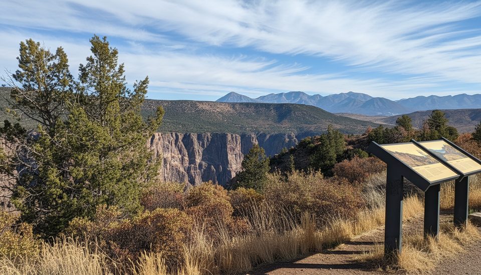
Place · 0 mi away
Challenging
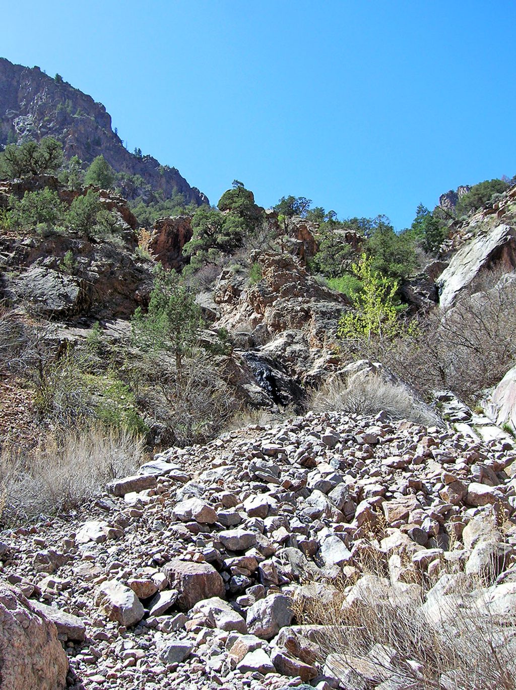
This is Black Canyon’s South Rim rim‑to‑river experience: a designated inner‑canyon wilderness route, not a constructed trail. It drops from the High Point area to the Gunnison River through extremely steep, loose terrain. A wilderness permit is required for day use or overnight, and pets are not allowed. Treat all water—giardia is present.
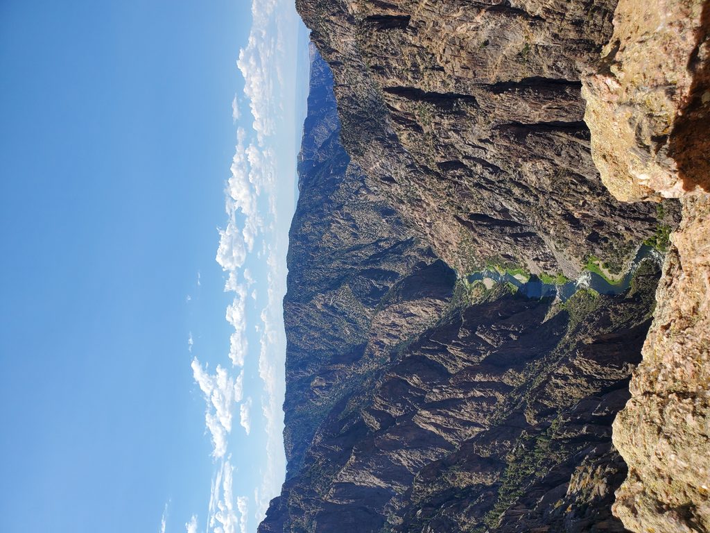
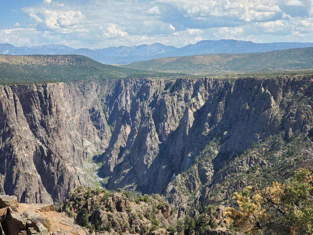
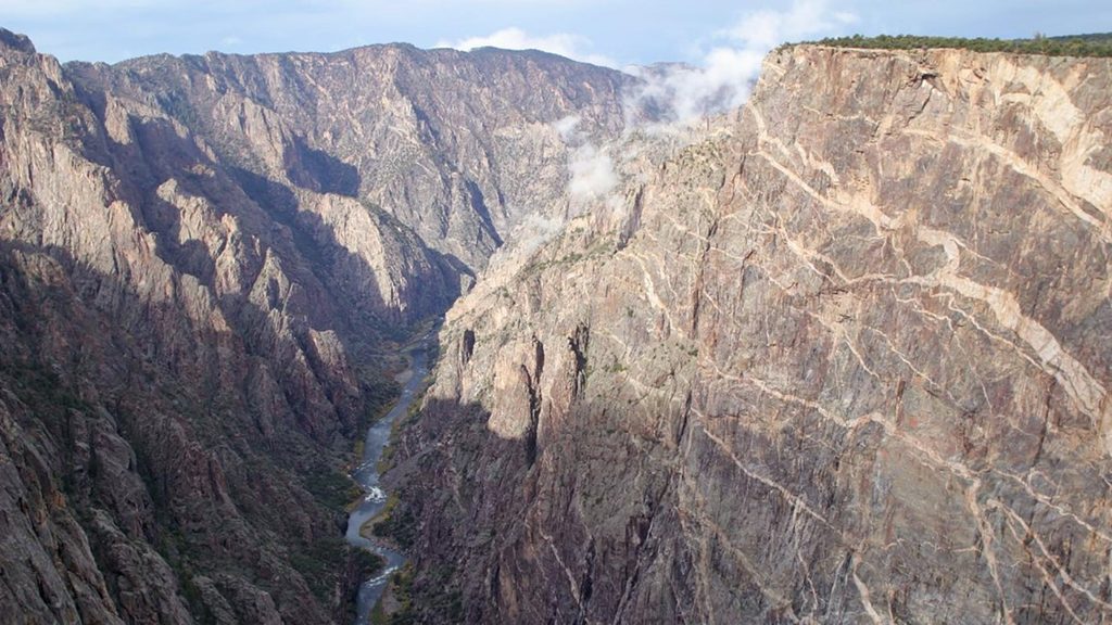
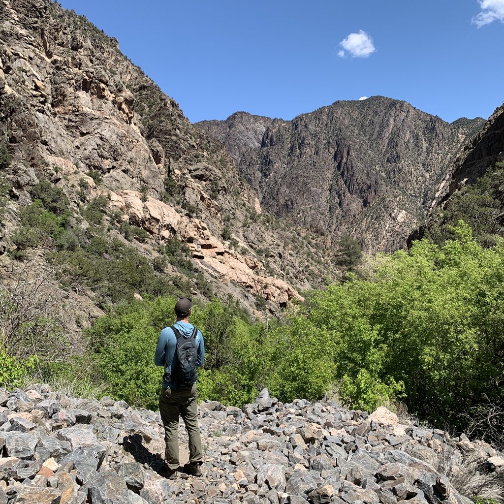
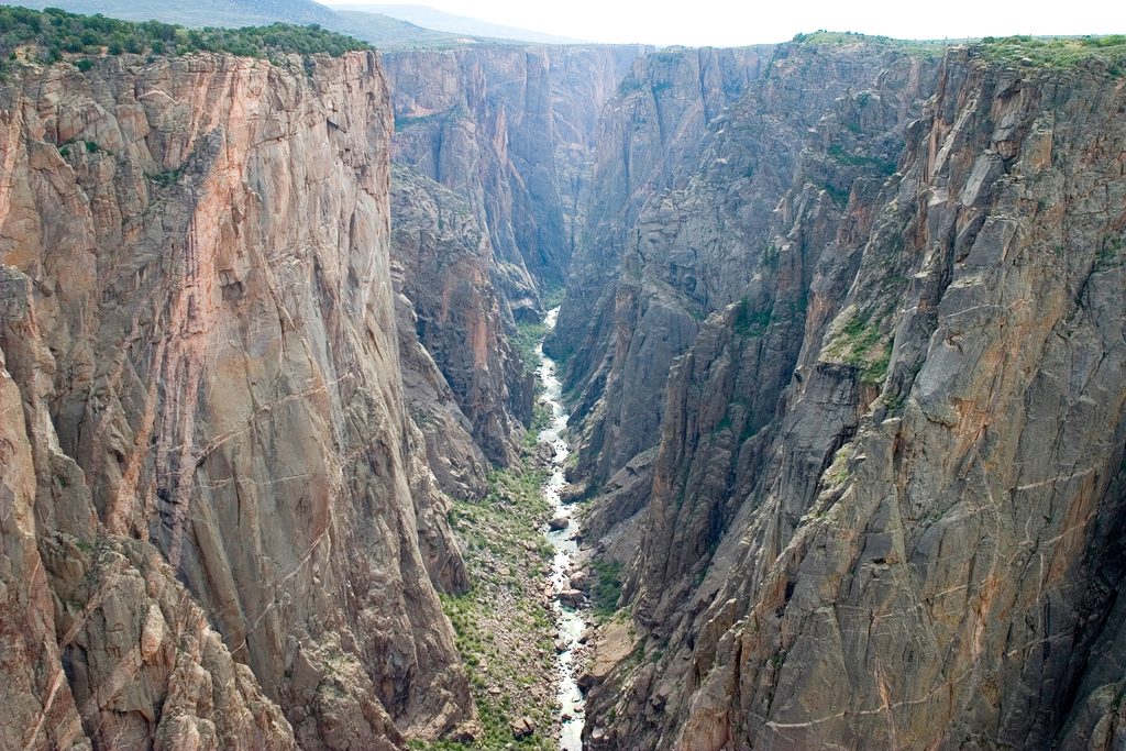
You’ll start along the Warner Point Nature Trail before turning onto the unmaintained descent. Expect roughly 4.3 miles round‑trip for many parties (some report up to ~7 miles depending on where you measure and how you wander), with about 2,700 feet of elevation loss to the river in roughly 1.6–2 miles one way. The grade is punishing, footing is loose, and navigation matters; this is a wilderness route with minimal to no signage. At the bottom, you’ll reach a quiet stretch of the Gunnison River and a designated riverside campsite area—fantastic solitude and classic, sheer‑walled Black Canyon drama at water level. Anglers time trips with the Salmonfly hatch.
This is for very fit, experienced hikers comfortable with unmaintained, very steep terrain. Many hikers find the descent serious and the climb back out a true grind. Plan on a full‑value day: about 6–8 hours total is common, with the ascent often taking longer than the descent. Trekking poles and real boots pay off.
Late spring through early fall is the practical window. Summer can be hot and exposed on the rim—start at first light for cooler temps and better parking. Avoid winter and early spring when snow and ice can make the route dangerous. Early summer is prime for anglers targeting the Salmonfly hatch.
Park at High Point at the end of South Rim Drive. The lot can fill on weekends—arrive before 9 a.m. The upper approach on the nature trail is straightforward; once you leave it, the character shifts quickly to steep, primitive wilderness. If you decide the route feels over your head, turning around early is the right call.
If you want maximum solitude, geologic spectacle, and a raw rim‑to‑river challenge, this route delivers. If exposure, loose footing, and relentless climbing aren’t your thing, stick to the rim overlooks or the Warner Point Nature Trail for superb views without the hardship.
Park at High Point at the end of South Rim Drive; limited spaces and it fills on weekends—arrive before 9 a.m.
Unmaintained wilderness route with ~2,700 ft steep descent on loose, exposed terrain; serious climb out; navigation required; treat all water due to giardia; permit required; no pets.
Place · 0 mi away
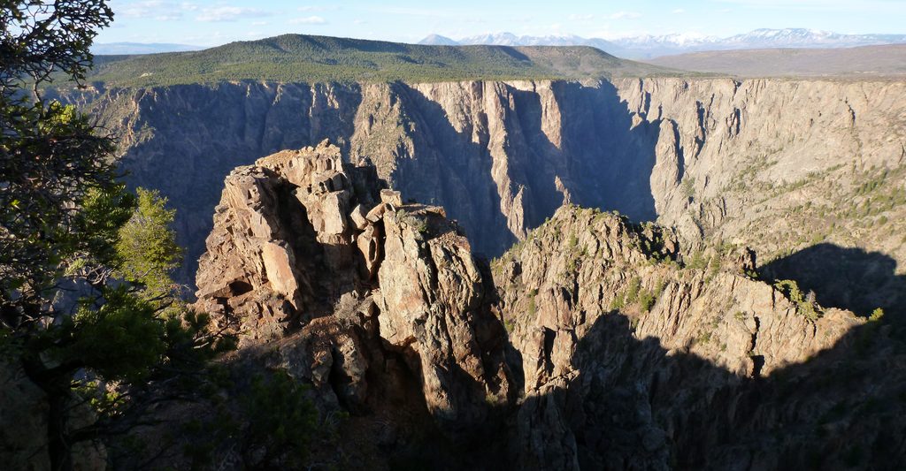
Place · 0.3 mi away
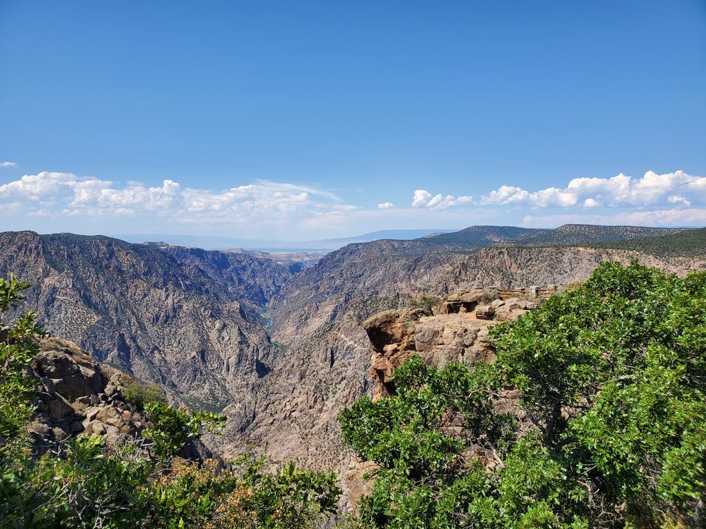
Place · 0.6 mi away
Place · 1.2 mi away
Easy · 0 mi away
Easy · 1.5 mi away
Challenging · 1.9 mi away
Easy · 2.4 mi away

Parkwolf Tour Guide
