
Place
Challenging
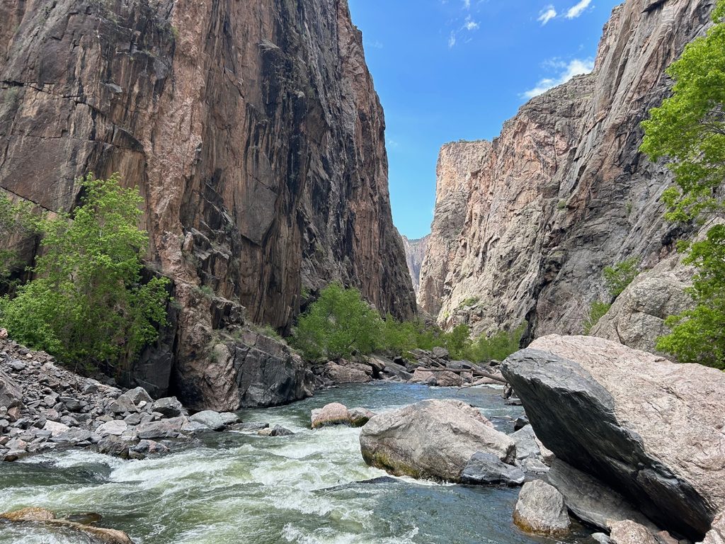
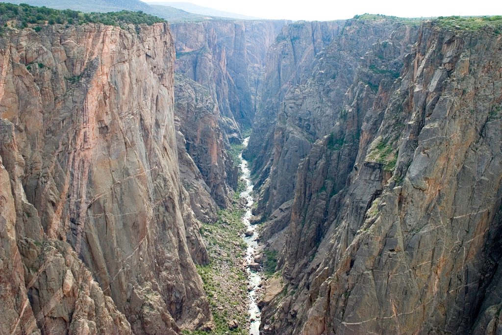
Long Draw is the North Rim’s most direct plunge to the Gunnison River via a brutally steep, unmaintained gully. It’s roughly 0.6 miles one way (about 1.2 miles total) with an astonishing 1,600–1,800 feet of vertical change—essentially dropping a skyline’s worth of floors in half a mile. Formerly called Devil’s Slide, this is a true wilderness scramble: no constructed tread, no signage, just a chute of dirt, scree, and ledges that funnels you to the river in The Narrows.
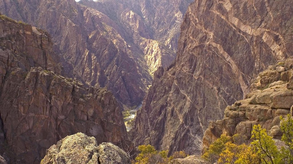
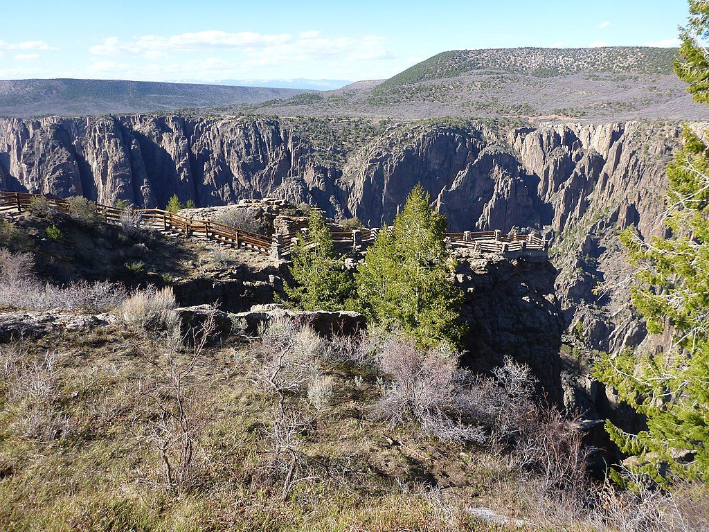
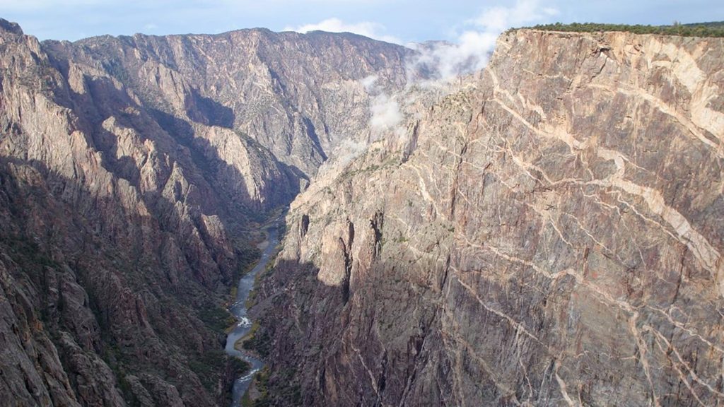
This route spotlights what makes the Black Canyon “black.” The Narrows gets only slivers of direct sun, especially in midsummer, so you’ll feel the cool, shadowy stillness at the bottom while the canyon walls soar above in near-vertical slabs of hard metamorphic rock. At the river, expect slick boulders and cold water; moving along the shoreline is possible but awkward and hazardous.
Call it what it is: extreme. Expect loose scree, hands-on Class 3 moves over short ledges, and constant steep grades. The descent demands focus; the climb out is a relentless grind with real fall and rockfall potential. There is no maintained path—navigation is by following the obvious gully while staying alert for safer lines.
A free wilderness use permit is required for all inner-canyon routes, including Long Draw. This route is day-use only—no overnight permits are issued here. Pets are not allowed. Treat all water (giardia is present). The Gunnison’s current and slick rocks are dangerous; conditions become especially hazardous as flows rise (around the 450–500 CFS range and above). Avoid the route when wet or icy.
Start from the North Rim near Balanced Rock Overlook. Park at Balanced Rock View or at the roadside horseshoe bend on North Rim Road where the route begins, then drop into the steep drainage.
Spring through fall is the window; winter conditions add ice and serious risk. Start early for cooler temps and to give yourself the time margin this effort deserves. The Narrows sits in deep shade much of the day—great for keeping you cooler, but it can make route-finding and footing trickier.
Wear sticky, rock-worthy footwear and bring gloves for the scrambles. Pack more water and calories than you think you’ll need, and treat any source you use. Keep groups small to reduce rockfall risk and erosion. Bring map/compass/GPS and watch the park’s inner-canyon orientation information beforehand. If you want drama without this level of commitment, stick to North Rim overlooks instead.
Park at Balanced Rock View or at the roadside horseshoe bend on North Rim Road where the route drops in.
Permit required; unmaintained Class 3 scrambling on loose scree with rockfall exposure. The Gunnison River is cold and swift; slick shoreline rocks and rising flows (around 450–500 CFS and above) increase danger. Treat all water—giardia present. Avoid when wet or icy. No pets; day-use only.
Place
Place
Place
Place
Easy
Easy
Moderate
Easy

Parkwolf Tour Guide
