Pros & cons
PROS
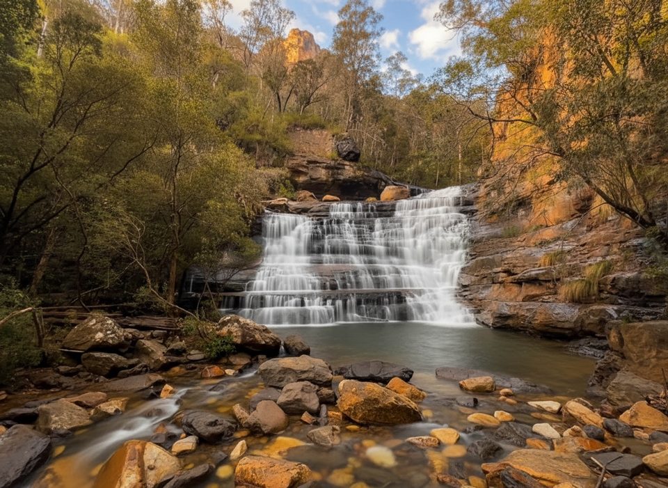
- Gorgeous swimming holes, cascades, and sculpted sandstone
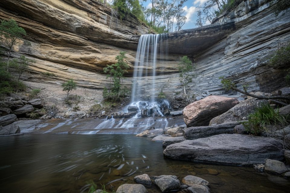
- Non‑technical main route with a bypass for the final waterfall
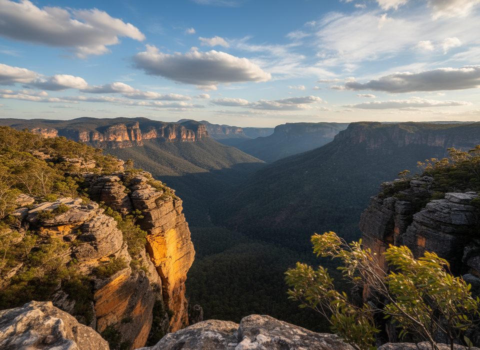
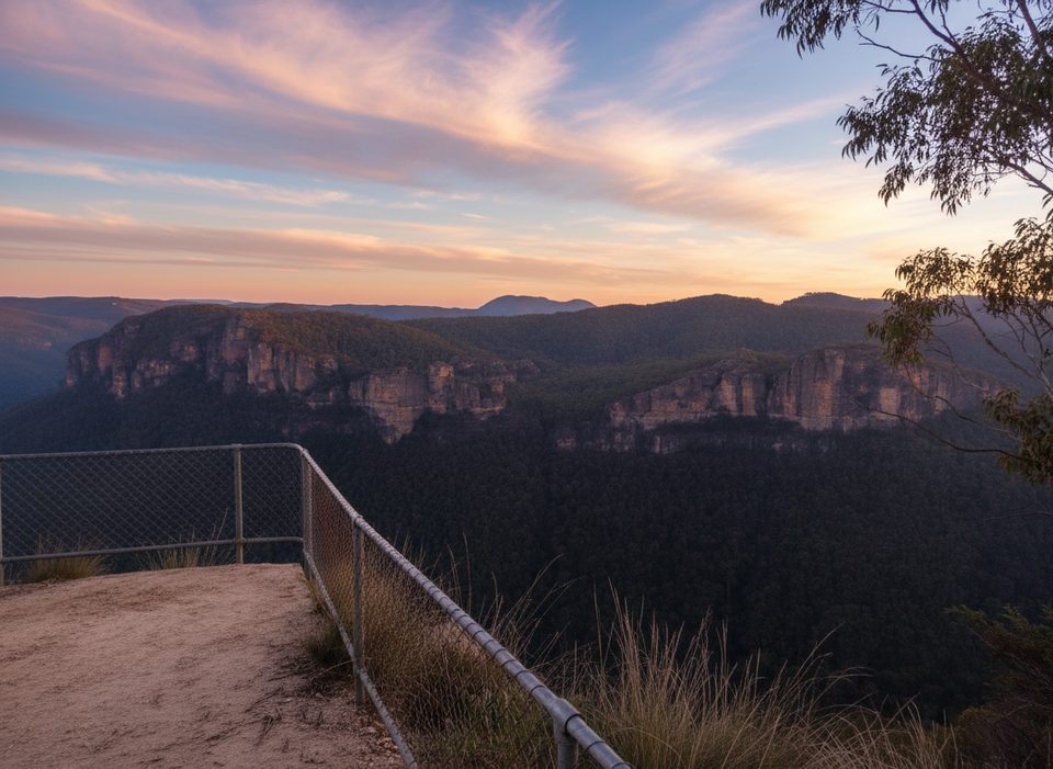
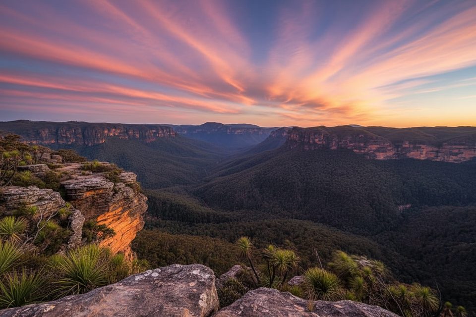
- Spectacular Grose Valley views from bluffs near the exit
CONS
- Unmarked route with tricky navigation and no signage
- Cold, waist‑to‑chest‑deep wades in places
- Unsafe in heavy rain due to flash‑flood risk and limited exits
Overview
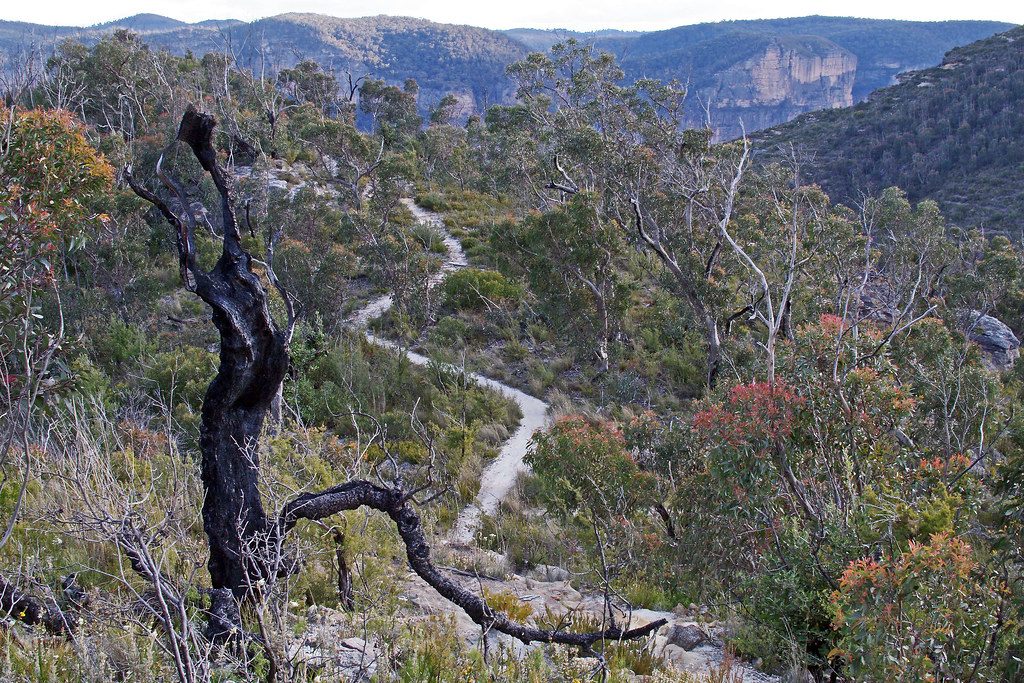
Dalpura Canyon is a short, spellbinding canyon tucked between Dalpura Ridge and Jinki Ridge near Bells Line of Road. It’s beloved for its sculpted slots, cool swimming holes, and a small waterfall finale—without requiring abseiling if you take the bypass. The approach and exit wander through attractive bushland with rocky viewpoints over the Grose Valley.
What You’ll See
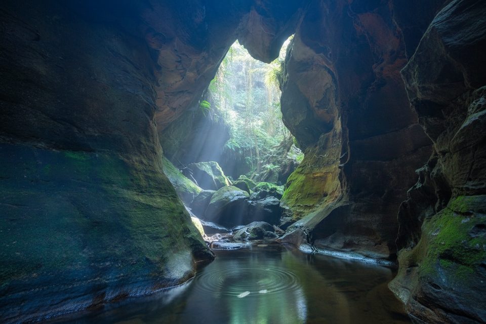
- Narrow, shaded canyon passages with light beams filtering through.
- Clear pools, small cascades, and a picturesque swimming hole near a waterfall.
- Rock overhangs, log jams, and sandstone walls that glow in good light.
- Big‑sky vistas into the Grose Valley from bluffs above the canyon exit.
Route & Difficulty
Most parties tackle a moderate out‑and‑back that avoids abseiling; expect a couple of wades. A circuit option exists but includes steeper, slipperier sections—best attempted anticlockwise if you know the route. Typical distance is roughly 5.3–7 km depending on approach and whether you add the viewpoint detours.
Safety & Navigation
There’s no signage and the entry/exit pads can be confusing. Route‑finding matters, and several parties report backtracking to locate the correct exit. Water levels vary; after rain you may wade to chest/shoulder depth. Do not enter with rain forecast: long enclosed sections, limited escape points, and flash‑flood risk make this a serious hazard.
Wildlife
No site‑specific records are highlighted, but you’re in classic Blue Mountains bushland—expect birdlife, insects, and occasional reptiles along the approach.
Best Time to Visit
Warm or hot days make the cold water more enjoyable. Midday light (roughly 11 am–2 pm) reaches the darker canyon sections near the end, creating the best glow for photos. Avoid visiting during or after rain.
What to Bring
Grippy shoes that handle wet rock, a dry bag for essentials, warm layers (the canyon stays cool), and solid navigation tools (map/GPS/notes). Pack food, water, and a basic first‑aid kit. Bring abseil gear only if you intend to descend the final waterfall rather than take the bypass.
Where it is
-33.5425, 150.3073Tips for Dalpura Canyon
- 01Use GPS and detailed notes—the route is unmarked and easy to lose.
- 02Pack dry bags and a warm layer; the water is cold even in summer.
- 03Avoid the canyon if rain is forecast—there are long sections with no exits.
- 04If attempting the circuit, do it anticlockwise; otherwise stick to the out‑and‑back.
- 05The final waterfall has a bypass—only abseil if equipped and experienced.
Amenities
Near Dalpura Canyon
All places →All trails →
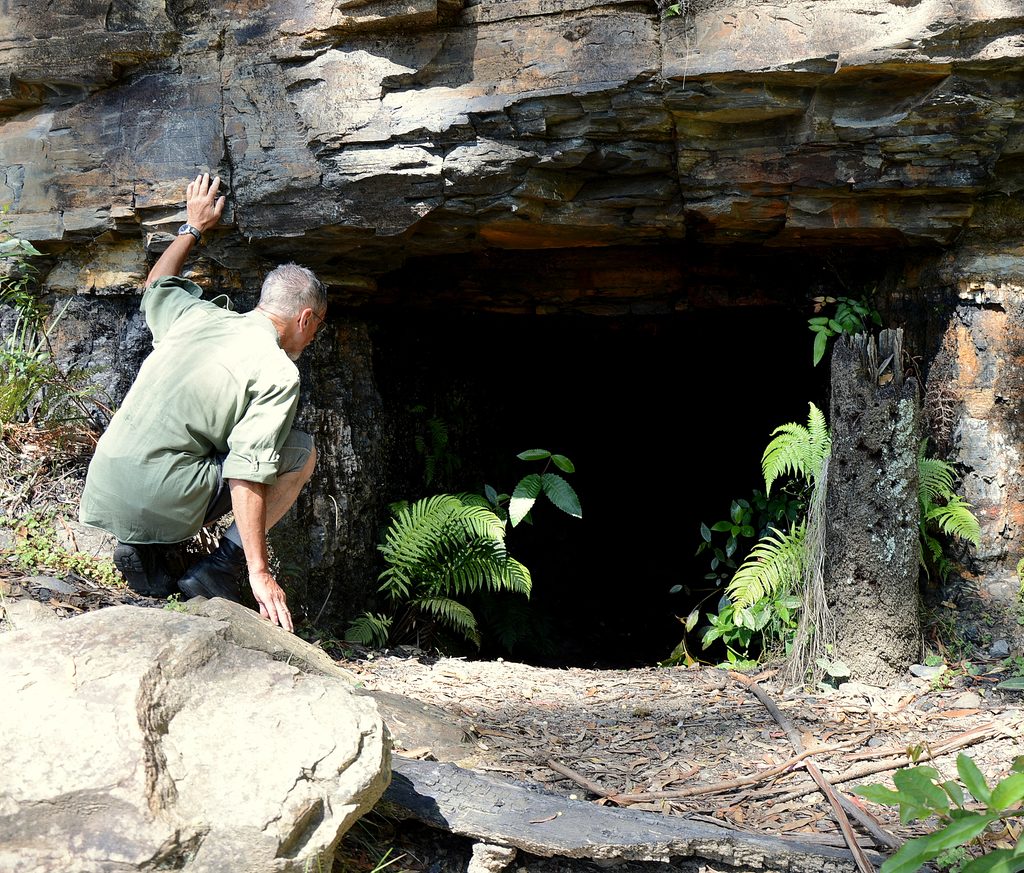
1 mi awayAsgard MineHistoric bushwalk to a 19th‑century mine and kiln ruinsTrailhead · Parking
1.4 mi awayAsgard KilnRemote 19th‑century stone kiln tucked off a quiet bush trackTrailhead · Parking
1.4 mi awayAsgard HeadRemote cliff‑top lookout with big Grose Valley viewsTrailhead · Parking
2.2 mi awaySilver CascadesSecluded tiered falls with a refreshing swimming holeParking · Restroom
2.3 mi awayVictoria Falls TrackShort, steep plunge to a shady valley waterfall and ferny cascadesChallenging · 2.5 mi · 2.5 hr
2.3 mi awayVictoria Falls lookout trackA steep, shady plunge to lush cascades and a thundering waterfallChallenging · 2.5 mi · 2.5 hr
2.6 mi awayWalls Lookout TrackShort walk, massive Grose Valley cliff views with room to roamEasy · 1.8 mi · 1.5 hr
2.6 mi awayBlue Gum Forest TrackSteep plunge to a cathedral of blue gums in the Grose ValleyChallenging · 2.5 mi · 3.5 hr