
Place · 0 mi away
Challenging
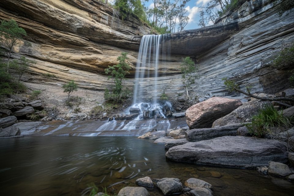
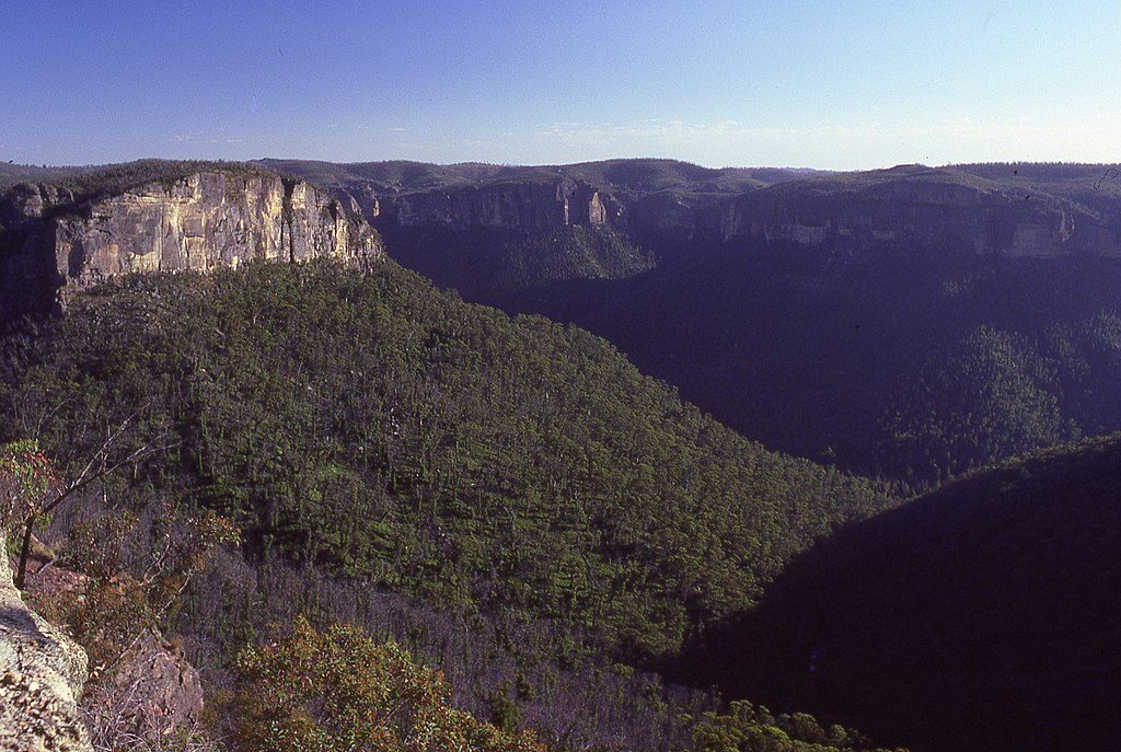
This is a short-but-punchy out-and-back into the Grose Valley, trading a cliff‑top lookout for rainforest gullies, lively cascades, and the beautiful Victoria Falls. It’s roughly 4 km return (about 2.5 miles) with around 400 m of descent and re‑ascent—compact on paper, but it packs a workout.
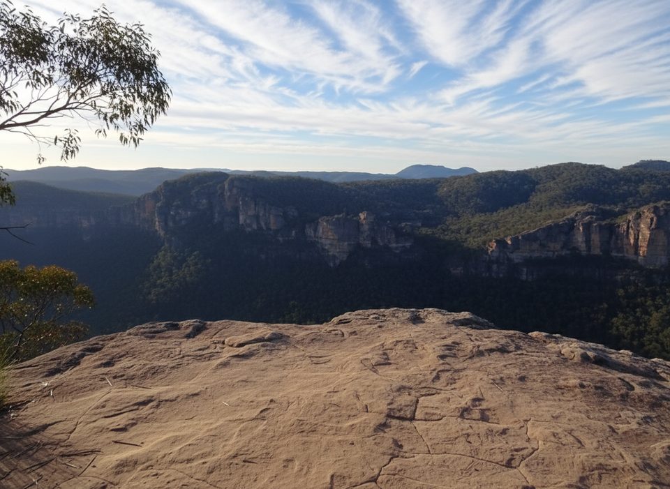
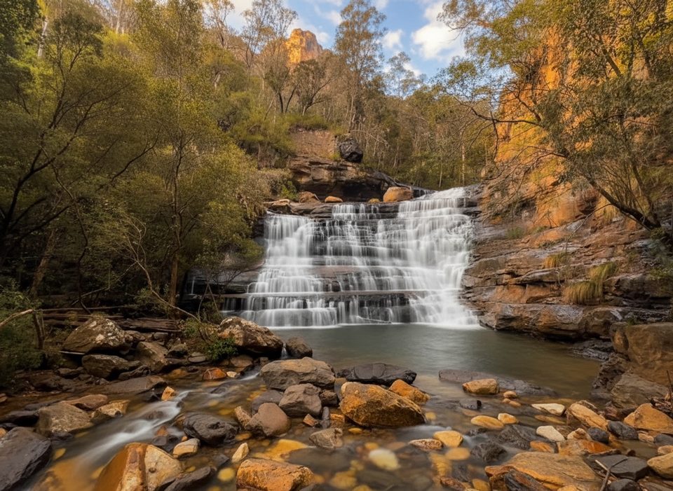
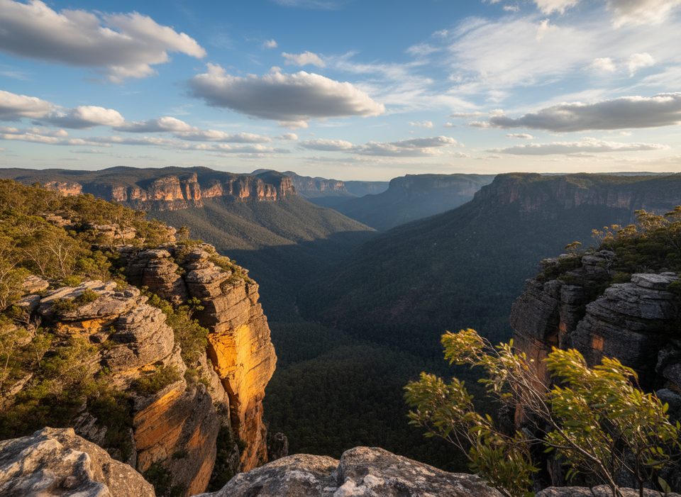
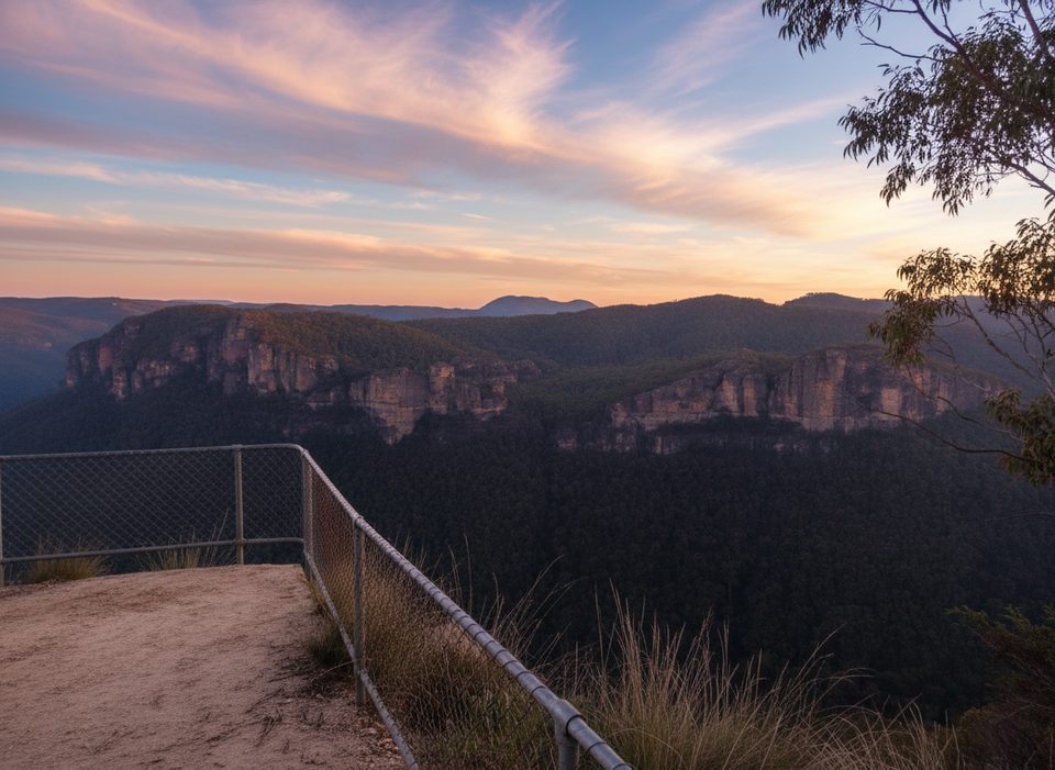
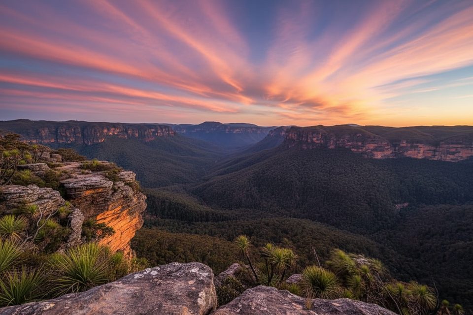
From the car park lookout you’ll get big Grose Valley views, then the track switchbacks down a sandstone escarpment. Short side paths lead to the pretty Victoria Creek Cascades and to the top of the falls. The payoff is the base of Victoria Falls—a cool, shaded pocket of lush forest that feels worlds away from the rim.
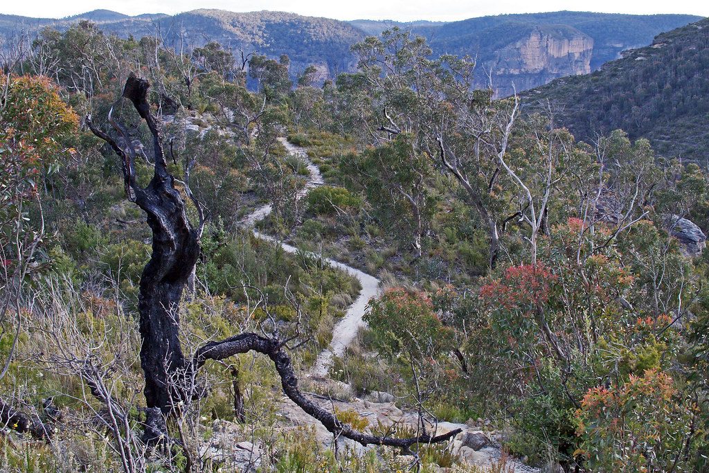
Expect a steep, stepped descent on a natural surface (dirt and rock with some wooden steps). The climb back out is the challenge here: allow 60–90 minutes just for the return ascent, especially in warm weather. The track is generally clear but signage is limited, and sections can be slippery after rain or near the cascades.
Year‑round works. After rain, the waterfall and cascades impress most, but the track gets slick—take your time. Summer brings heat on the climb but the base of the falls stays cool and shaded. Weekdays or early starts tend to be quieter; this track sees fewer people than the Blue Mountains headliners.
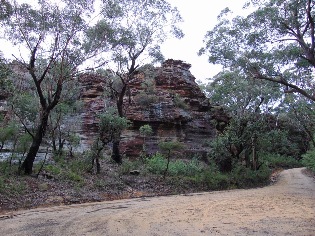
Trailhead is at the end of Victoria Falls Road (2WD accessible; partly unsealed). Fit, experienced walkers can extend deeper into the valley toward Burra Korain Flat and the Blue Gum Forest or link into longer Grose River routes if you’re planning a bigger day or overnight.
End of Victoria Falls Road, Mount Victoria. Small car park/loop by the lookout; 2WD accessible on a partly unsealed road. No toilets or water.
Very steep cliff-line descent with many steps; the return ascent takes 60–90 minutes. Surfaces are slippery when wet and near cascades. Limited signage—carry a map and stay well back from cliff edges.
Place · 0 mi away
Place · 0 mi away
Place · 0.4 mi away
Place · 0.9 mi away
Challenging · 0 mi away
Easy · 2.7 mi away
Challenging · 2.7 mi away
Challenging · 2.7 mi away

Parkwolf Tour Guide
