Pros & cons
PROS
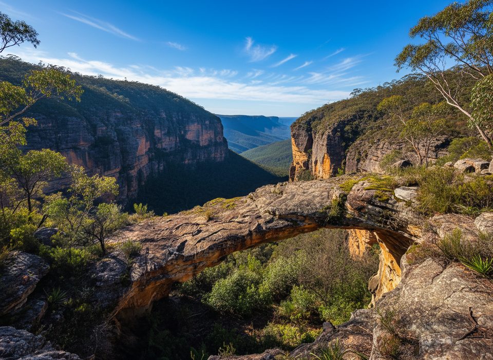
- Striking sandstone arch with adjacent wind-eroded caves
- Short, quiet bushwalk with a real sense of discovery
CONS
- Unmarked track—navigation needed
- No facilities or signage
- Rock can be slippery when wet; mild scrambling required
Overview
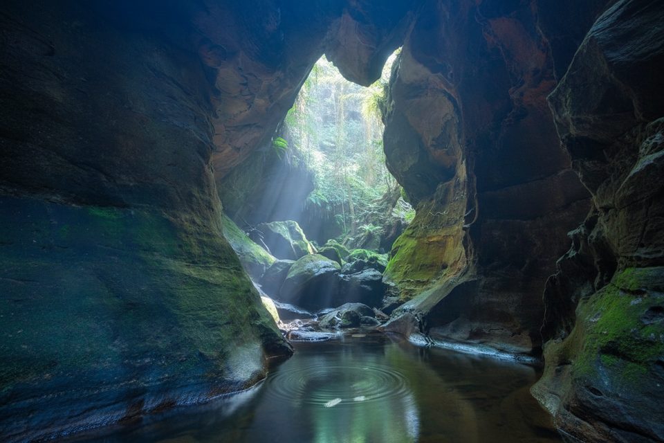
Tucked near the village of Dargan, this natural sandstone arch sits in classic canyon country and feels wonderfully off‑the‑radar. The arch formed when the roof of a large cave/overhang collapsed, leaving a dramatic stone span and skylight—bushwalkers call it a must‑see feature of the region.
What You’ll See
- The Arch: Photogenic from above, below, and within, with a sloping floor and a big skylight where the cave roof gave way.
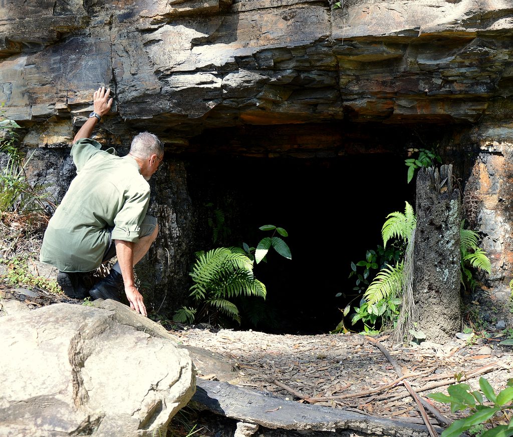
- Caves and pagodas: Two sizeable wind‑eroded caves sit nearby amid pagoda‑like sandstone, offering lots of angles for photos and exploring.
- Quiet bushland: It’s typically serene and lightly visited, so you’ll likely have it to yourself.
Getting There & The Walk
- Access is via an informal roadside clearing on Sandham Road; there’s no formal carpark or signage.
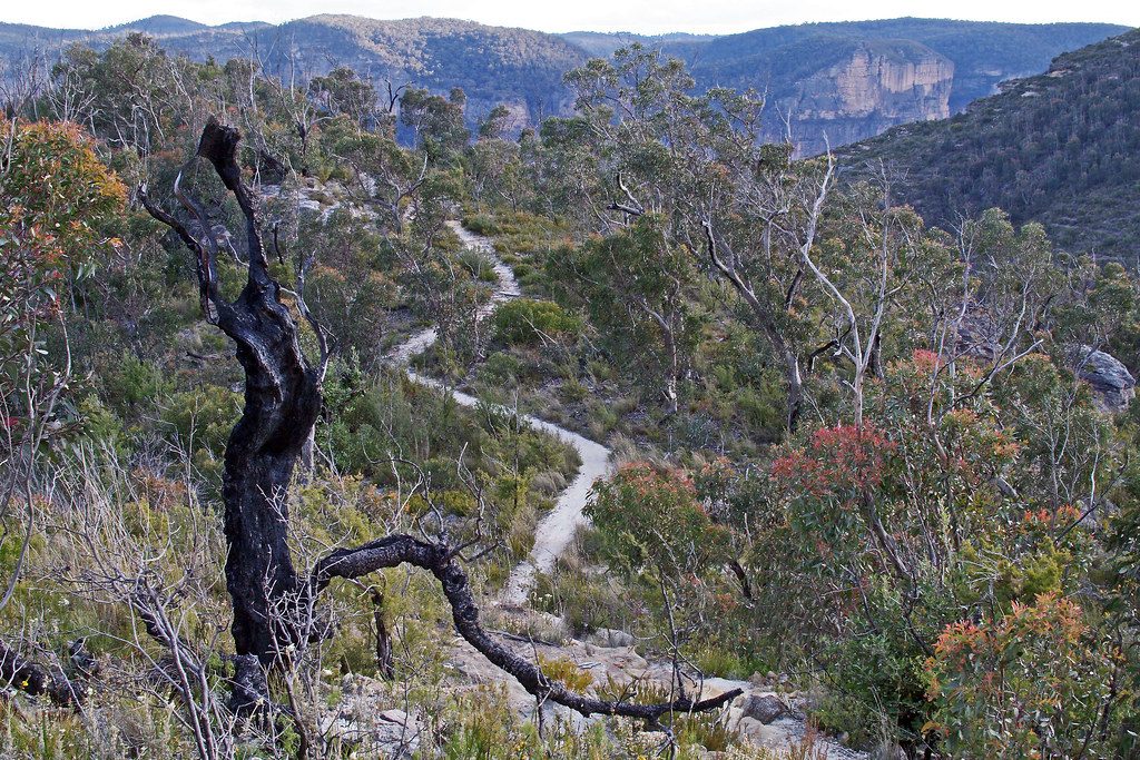
- The track follows an old 4WD line before narrowing to a faint path near the canyon.
- Expect roughly 1.5 km return and 30–60 minutes, with an easy grade and a short scramble to get under and around the arch.
Know Before You Go
- No facilities—no toilets, water, or bins—so come self‑sufficient and pack out everything.
- Navigation matters: the route is unmarked and can be confusing near the end; bring a map or GPS.
- Rocks are grippy when dry but slick after rain; take care if it’s been wet.
Make It A Day
If you’re up for more, walkers commonly combine Dargan Arch with nearby Goochs Crater and sections of Friday Canyon for a full, varied day out.
Nature Notes
Expect seasonal wildflowers in the surrounding bush. Typical regional birdlife may be about, but this spot is more about the rock formations than wildlife viewing.
Best Time to Visit
Dry weather is best to keep the scrambling safe. It’s rarely busy, so timing is flexible—go when light suits your photos and the forecast looks dry.
Where it is
-33.4814, 150.2662Tips for Dargan Arch
- 01Park on Sandham Road at the informal clearing and look for the faint track.
- 02Bring a map or GPS—the route is unmarked and fades near the arch.
- 03Avoid wet days; the rock around and under the arch becomes slick.
- 04Carry all water and snacks—there are no facilities anywhere on this walk.
- 05Link it with Goochs Crater and Friday Canyon for a full‑day adventure.
Amenities
Near Dargan Arch
All places →All trails →
4.8 mi awayDalpura CanyonShort, beautiful canyon with swims, cascades, and Grose Valley viewsTrailhead · Parking
5.4 mi awayAsgard MineHistoric bushwalk to a 19th‑century mine and kiln ruinsTrailhead · Parking
5.8 mi awayAsgard KilnRemote 19th‑century stone kiln tucked off a quiet bush trackTrailhead · Parking
5.8 mi awayAsgard HeadRemote cliff‑top lookout with big Grose Valley viewsTrailhead · Parking
6.5 mi awayVictoria Falls TrackShort, steep plunge to a shady valley waterfall and ferny cascadesChallenging · 2.5 mi · 2.5 hr
6.5 mi awayVictoria Falls lookout trackA steep, shady plunge to lush cascades and a thundering waterfallChallenging · 2.5 mi · 2.5 hr
7.4 mi awayWalls Lookout TrackShort walk, massive Grose Valley cliff views with room to roamEasy · 1.8 mi · 1.5 hr
7.4 mi awayBlue Gum Forest TrackSteep plunge to a cathedral of blue gums in the Grose ValleyChallenging · 2.5 mi · 3.5 hr