Pros & cons
PROS
- Secluded panoramic viewpoint over the Grose Valley
- Rideable fire trail makes it a great MTB-and-walk combo
CONS
- No facilities of any kind
- Long 13 km return on an exposed fire trail
Overview
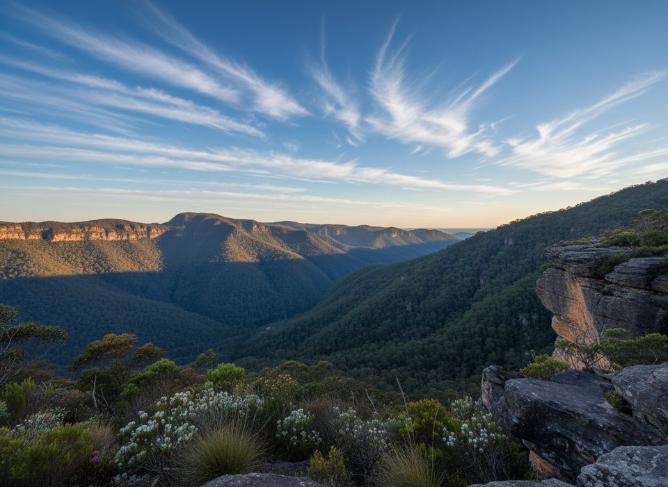
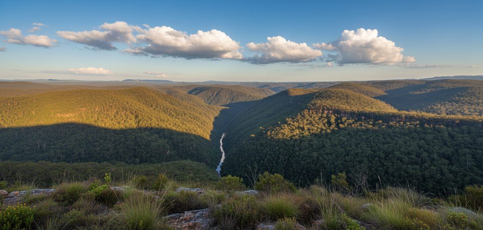
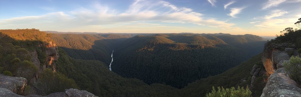
Faulconbridge Point is a quiet, ridge-top lookout with sweeping views over the Grose River and its vast, rugged valley. It’s the kind of place you come for big horizons, sandstone cliffs, and that rare feeling of solitude that’s hard to find at the busier lookouts.
The Track in a Nutshell
You reach the point via a management/fire trail along the ridge. It’s about 6–6.5 km each way (roughly 13 km return) on a mostly smooth, sandy surface with gentle undulations and a few hills. Elevation gain to the lookout is in the 220–300 m range. On foot, allow around 3 hours return; on a bike, it’s an easy-breezy beginner/intermediate ride, often 45 minutes each way.
What You’ll See
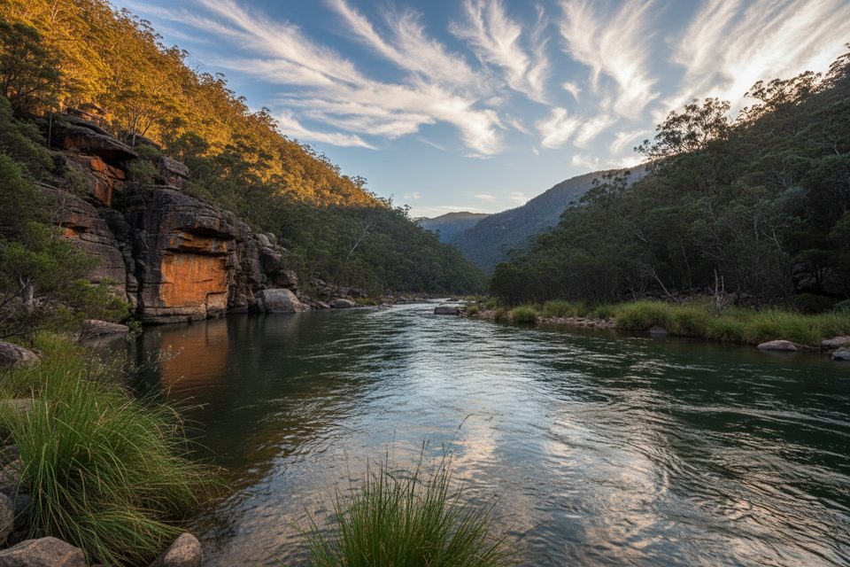
From the point, the Grose River carves through densely forested slopes with dramatic escarpments in every direction. On clear days, the view stretches toward Bilpin, Mount Tomah, and far-off plains. It feels properly wild—bring a thermos or snacks and linger.
Wild Swim Option (Advanced)
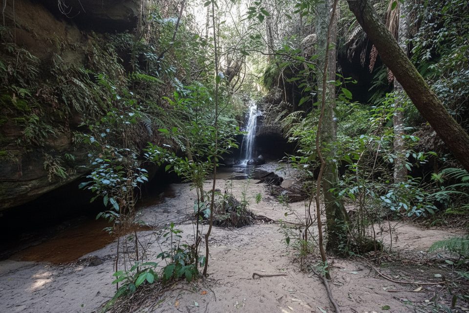
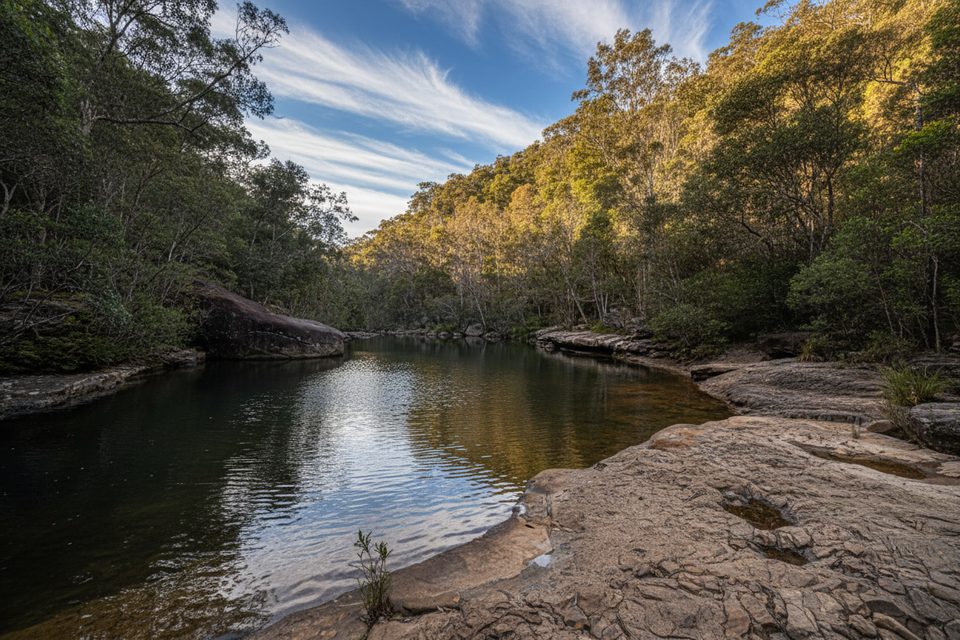
There’s a challenging descent from near the point to the Grose River with beautiful swimming holes and clear water. It’s steep, rough, and the climb back is a lung-burner, with sections that may require using hands or fixed aids. Only attempt it if you’re experienced and well-prepared.
Best Time to Visit
Sunset is superb here—golden light on the cliffs and, typically, very few people. If you’re staying late, bring headlamps; the fire trail makes for a straightforward night return. In warmer months, aim for early or late to dodge the midday heat.
Know Before You Go
- No amenities: no toilets, water, shelter, or picnic tables—pack everything in and out.
- Surface is sandy in places; standard shoes are fine, bikes handle it well.
- The final drive to the gate is on a short unsealed stretch—take it slow in low-clearance cars.
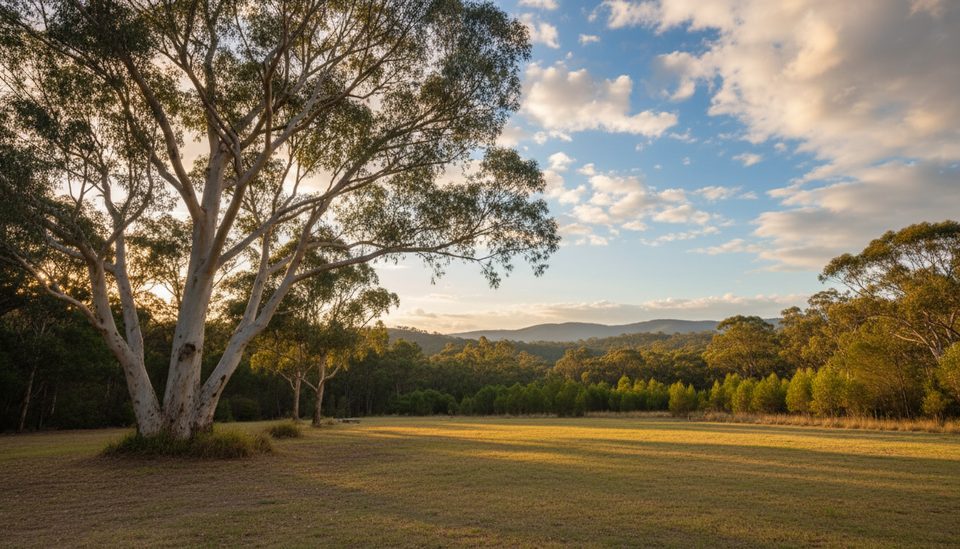
- Expect birds, wallabies, and the occasional reptile along this quiet bush corridor.
Who Will Love It
Walkers who enjoy a longer, low-stress out-and-back with a huge payoff, and beginner/intermediate mountain bikers looking for a scenic ridge ride to a spectacular, uncrowded viewpoint.
Where it is
-33.6091, 150.5611Tips for Faulconbridge Point
- 01Start early or go late; sunset light is gorgeous and it’s quieter.
- 02Bring plenty of water and sun protection; sections of the trail are exposed.
- 03Pack a picnic; there are no tables, toilets, or water on site.
- 04If staying for sunset, carry headlamps for the straightforward fire-trail return.
- 05Considering the river detour? It’s steep and rough—allow extra time and energy.
Amenities
Near Faulconbridge Point
All places →All trails →
0.6 mi awayGrose River LookoutRemote cliff-top perch with big Grose River wilderness viewsScenic Viewpoint
3 mi awayGrose Head South LookoutRemote rock-top lookout with big Grose Valley viewsScenic Viewpoint
4.4 mi awayBurralow Creek Campground and Picnic AreaCreekside bush camp with an easy waterfall walk and starry nightsTrailhead · Restroom
4.4 mi awayBulcamatta FallsShort waterfall walk that glows blue with thousands of glow wormsTrailhead · Parking
4.8 mi awayBlue Gum Swamp LoopShady blue gum forest loop with gentle grades and optional viewsEasy · 6.2 mi · 3 hr
6.3 mi awayVictory TrackShaded creekside gully to waterfalls—lower Mountains’ quiet gemModerate · 4.3 mi · 3.5 hr
6.6 mi awayGrose River Walking TrackShort, steep drop from Hawkesbury Lookout to the Grose RiverModerate · 0.9 mi · 42 min
8.6 mi awayFlorabella PassShady lower mountains gully linking Warrimoo and BlaxlandModerate · 3.7 mi · 2.5 hr