
Place · 2.4 mi away
Moderate
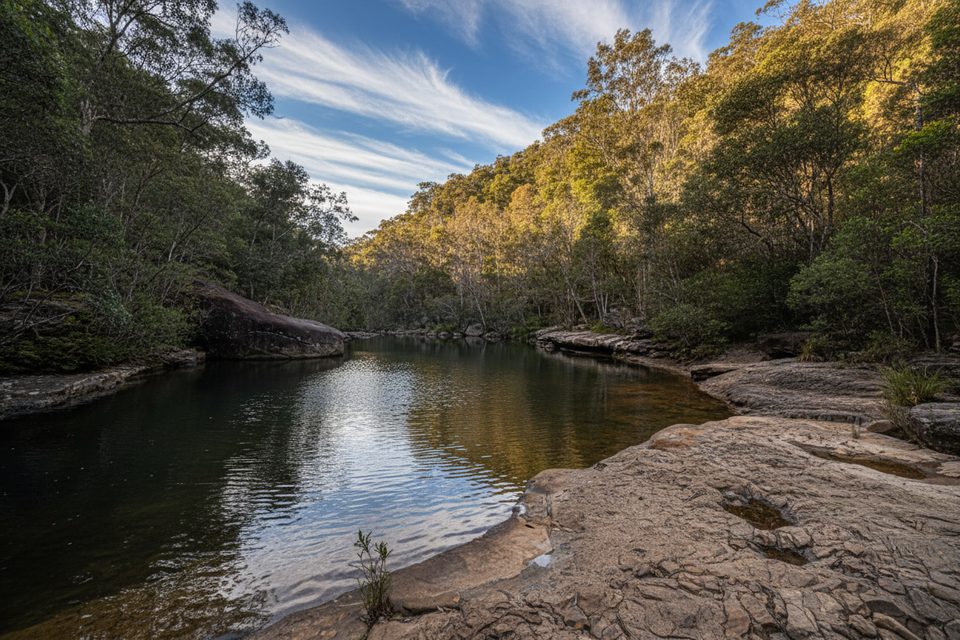
A classic lower Blue Mountains bushwalk, the Victory Track drops from Faulconbridge into cool, ferny gullies and follows Sassafras Creek through coachwood–sassafras rainforest. It’s about 4.3 miles one way (this is the creek‑level section itself, not a full loop), and it’s loved for running water, small cascades, and that peaceful “hidden valley” feel—no big clifftop views, just lush forest and birdsong.
From the Faulconbridge side (near the cemetery/Jackson Park), you’ll descend the steepest stretch to reach Sassafras Creek, then meander along the valley floor past pools, sandstone overhangs and side creeks. Near Perch Ponds you can continue deeper along Glenbrook Creek or swing into loop options. Popular add‑ons use Magdala Creek or the Sassafras Gully Track to reach Springwood/Fairy Dell, creating a satisfying 10–11 km circuit. Short side trips access modest but photogenic falls like Magdala Falls and Martins Falls, and there are pleasant picnic spots around Perch Ponds and the Lagoon.
After the initial descent, grade is generally gentle with rock steps, roots and short undulations around bends and boulders. Expect multiple minor creek crossings and sections that turn wet or muddy after rain. It’s solidly moderate overall—fit beginners can manage the Victory Track segment; the longer loop days suit regular walkers. This is a sound‑of‑water, fern‑frond kind of walk rather than a scenery “wow” from lookouts.
Year‑round. The gullies stay cool and shaded on hot days, but can feel humid in summer. After rain, creeks and cascades come alive (and surfaces get slick), so pick footwear accordingly. In long dry spells the water features diminish. For quiet trails, start early on weekdays; midday sun provides soft, dappled light in the gully, but photography really pops after recent rain.
Faulconbridge trailhead parking near the cemetery/Jackson Park; loop or through-walk options to/from Springwood also work well via train.
Slippery sandstone and mud after rain, minor creek crossings, leeches in wet/humid conditions, occasional fallen trees, and patchy mobile reception.
Place · 2.4 mi away
Place · 2.9 mi away
Place · 3.5 mi away
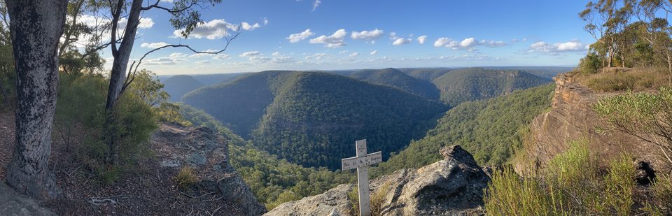
Place · 3.7 mi away
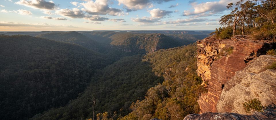
Moderate · 3.5 mi away
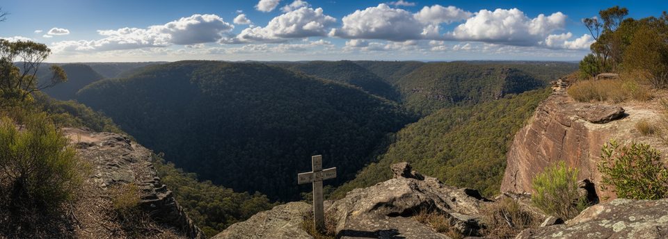
Challenging · 3.5 mi away
Moderate · 4.3 mi away
Easy · 4.9 mi away

Parkwolf Tour Guide
