
Place · 1.4 mi away
Moderate
Florabella Pass is a classic lower Blue Mountains bushwalk running between Warrimoo and Blaxland. Most hikers treat it as a point‑to‑point of roughly 3.2–3.7 miles one way (5.2–6 km), depending on exactly where you start and whether you include the short connector known as Pippas Pass. Expect a moderate outing with a few steep, rocky pinches and rough creekside sections—enough to feel adventurous without turning into a full-day sufferfest.
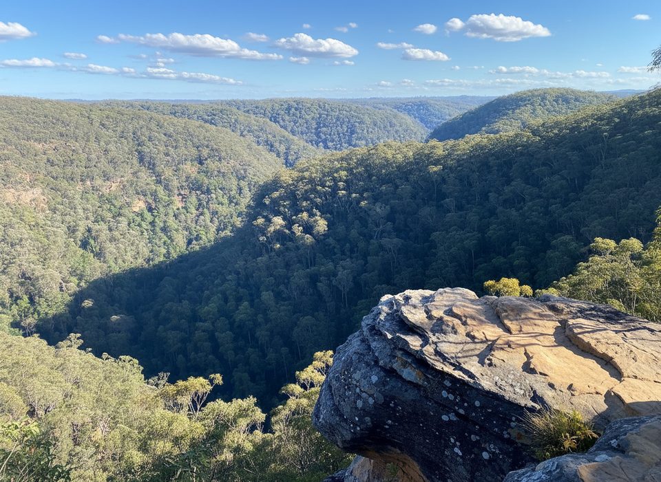
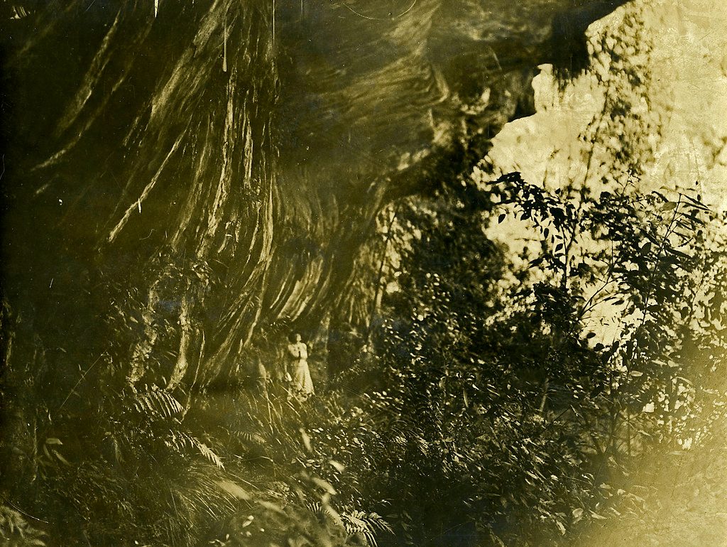
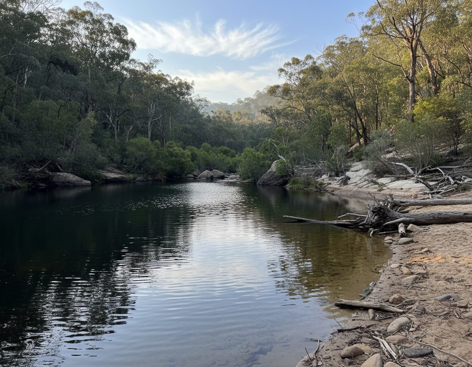
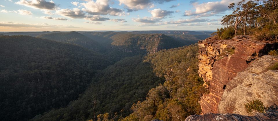
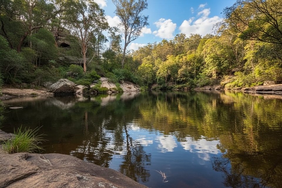
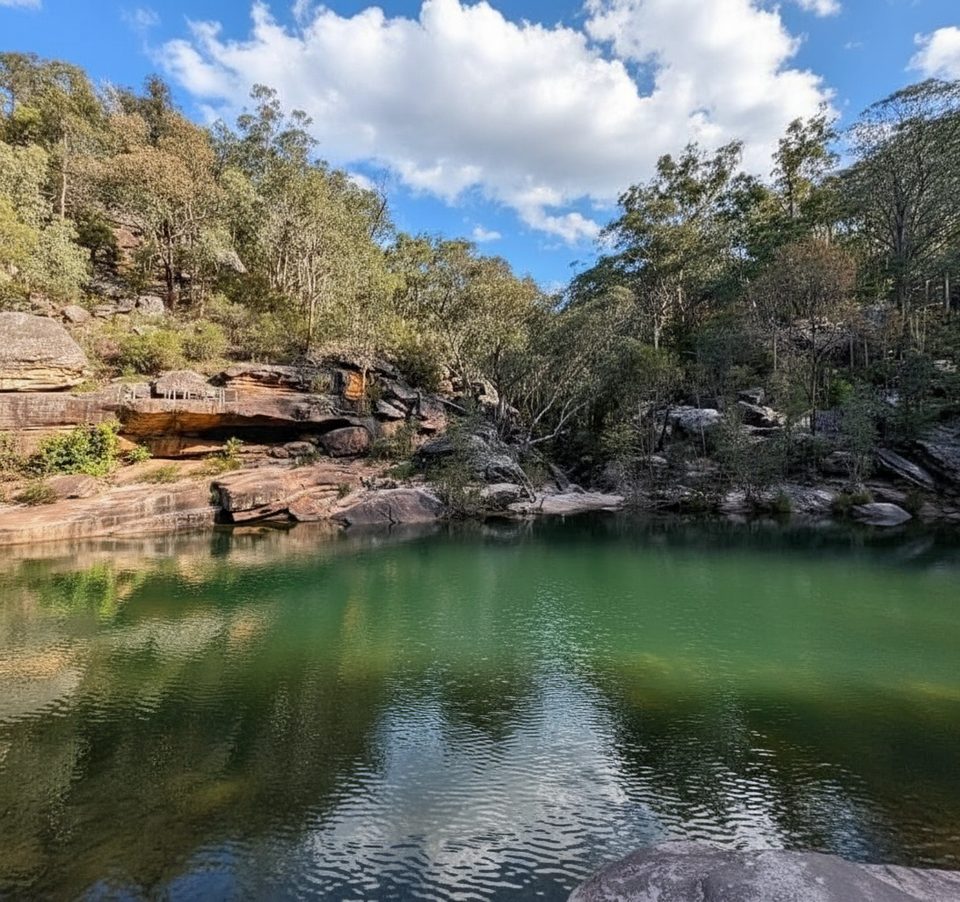
This track threads through cool, shaded fern gullies and along creeks, with tall sandstone cliffs, mossy boulders, and occasional rock overhangs and platforms. After rain, little cascades and creek crossings add fun and atmosphere; in dry spells, those same crossings are easier but less lively. Spring wildflowers pop among the eucalypt and wattle, and the forest stays pleasantly green year‑round in the gullies.
The most popular through‑walk links Warrimoo Station and Blaxland Station, entering at the end of Florabella Street (Warrimoo) and exiting near Blaxland’s library area. You can also do an out‑and‑back from the Blaxland side, turning around whenever you’ve had your fill, or stitch a shorter loop using local streets and footpaths to return to your start. Wayfinding is generally straightforward, but there are junctions where the track is less obvious—follow the red trail markers and bring a map or GPS your first time.
It’s mostly a clear bush track with dirt, rock, occasional steps, and a handful of small creek crossings. Sections are steep, uneven, and can be slippery after rain. Signage appears at key points, but not everywhere; navigation is easier with a downloaded map. There are no facilities on the trail—no taps, shelters, or toilets—so come self‑sufficient.
Spring and autumn deliver the sweetest combo of temps and scenery (think wildflowers and comfortable walking weather). Winter can feel cool and damp under the cliffs and in the gullies, but it’s quiet. In summer, the canopy provides good shade, yet heat can build—start early and bring plenty of water. Waterfalls and creeks are most photogenic after rain.
Public transport makes this one shine: start at Warrimoo and finish at Blaxland (or reverse) to avoid a car shuffle. If you’re driving, there’s free street parking near the Warrimoo end (Florabella Street) and time‑restricted but free parking by Blaxland Library. Wear grippy shoes, especially if it’s rained. Carry all the water you need, and expect to take about 2–3 hours one way depending on pace and where you begin/end.
Near the Warrimoo end, Possum Park commemorates Dorothy Wall, whose surrounding bushland inspired the Blinky Bill stories—a fun nod if you’re linking back via local streets.
Free street parking at the Warrimoo end (Florabella St). Time-restricted but free parking near Blaxland Library; or skip parking entirely and use the train at both ends.
Expect steep, rocky, and uneven sections with small creek crossings; surfaces get slick after rain. Limited signage—carry a map/GPS. No water, toilets, or shelters on the track.
Place · 1.4 mi away
Place · 1.6 mi away
Place · 2.8 mi away
Place · 3.3 mi away
Moderate · 1.3 mi away
Challenging · 1.4 mi away
Easy · 3.4 mi away
Easy · 3.6 mi away

Parkwolf Tour Guide
