
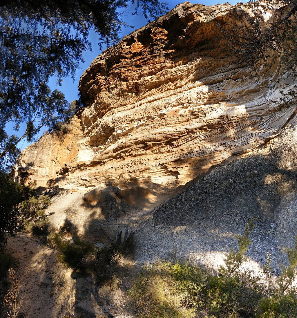
Place · 0.7 mi away
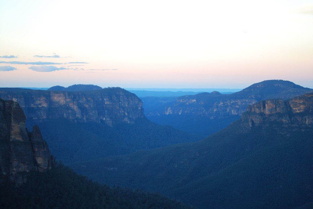
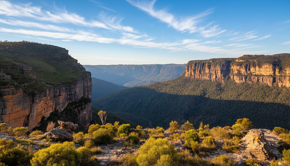
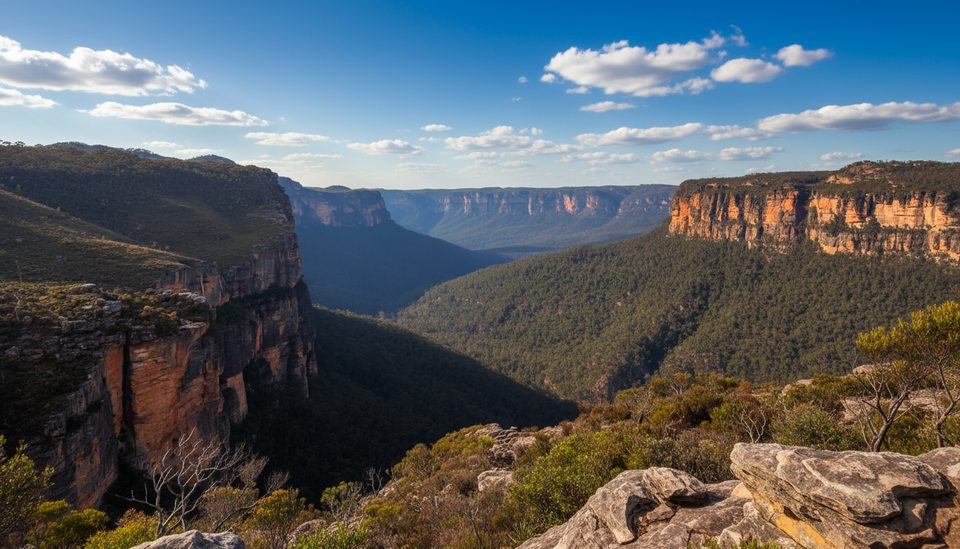
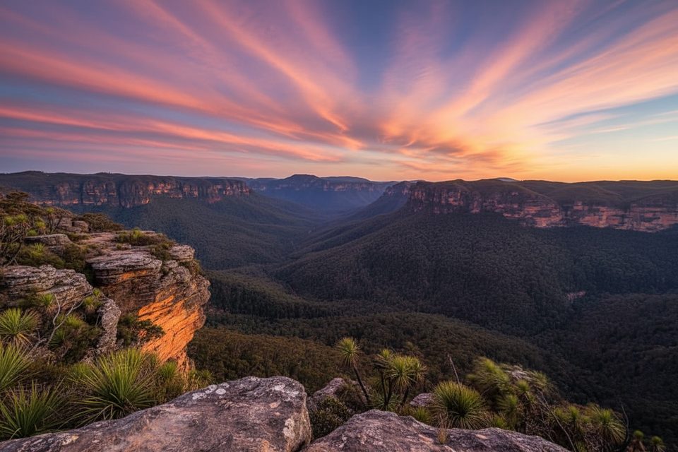
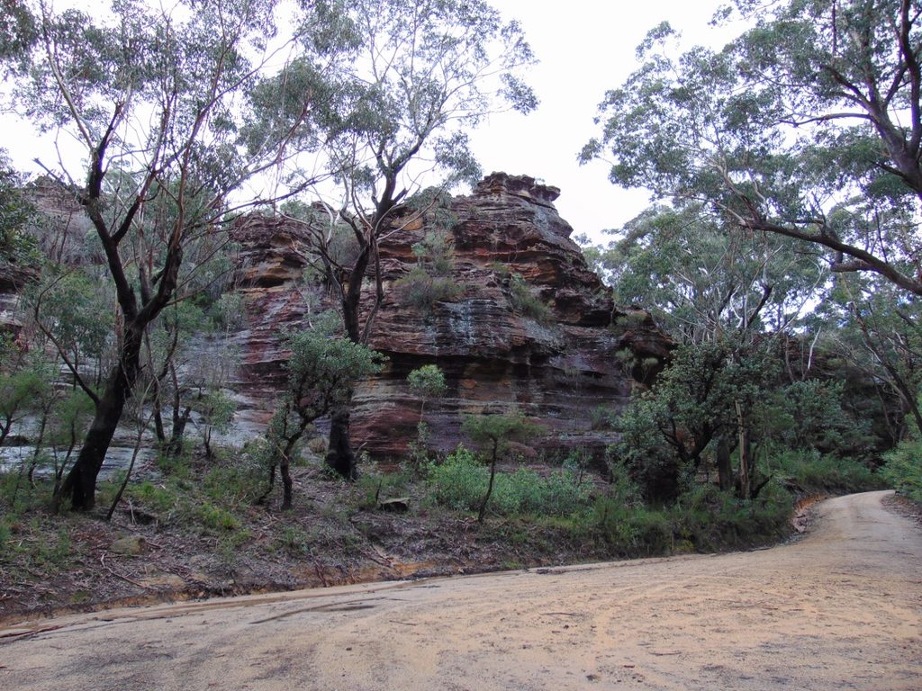
Grose Valley is the dramatic heart of the park: a deep sandstone gorge carved by the Grose River between the Great Western Highway (south) and Bells Line of Road (north). Sheer cliffs tower above ferny gullies and river flats, with some escarpments rising over 200 m and up to around 510 m at places like Banks Wall. Despite being close to towns, most of the valley remains protected wilderness, so it feels far more remote than the tourist hubs.
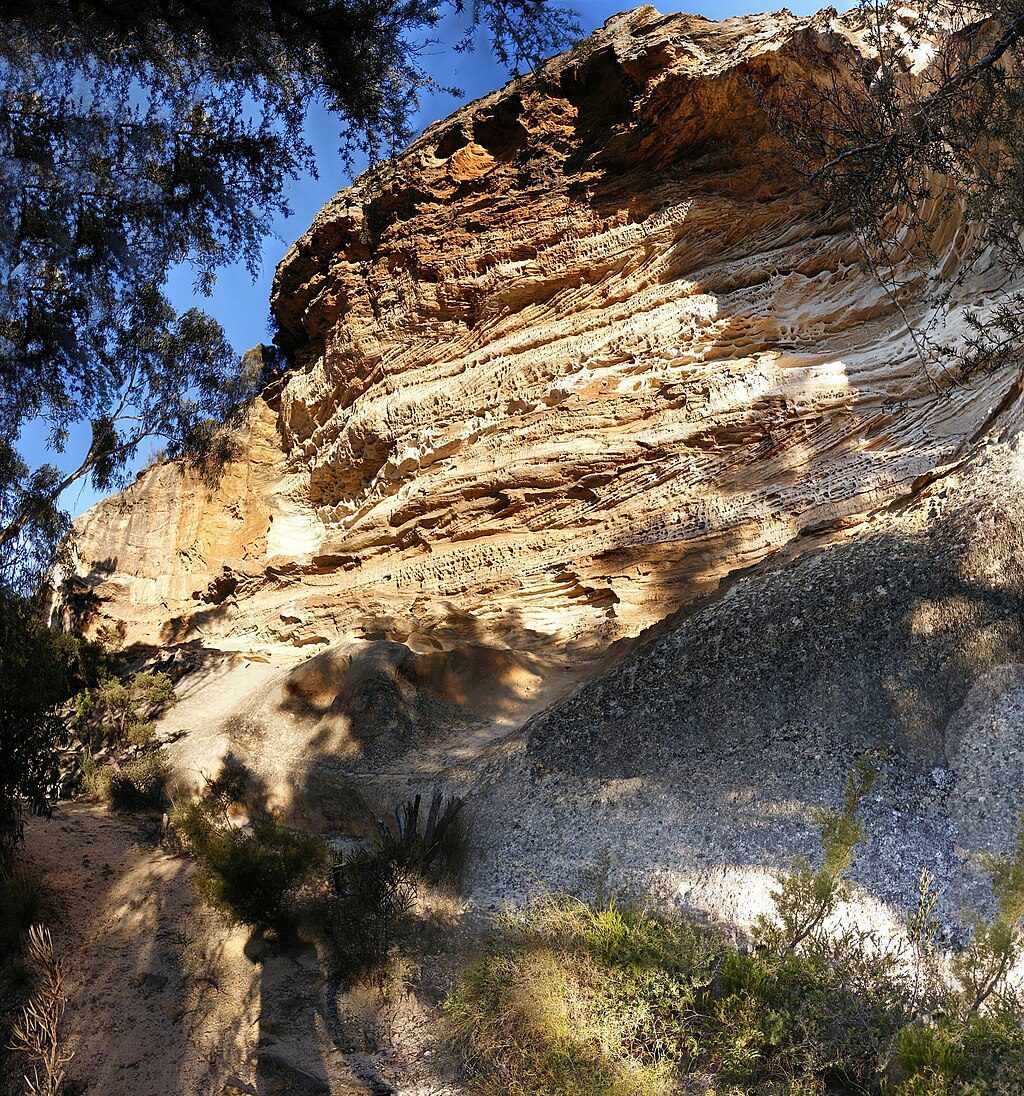
At its core is the storied Blue Gum Forest, centerpiece of a landmark 1931 conservation campaign that helped secure protection for almost the entire catchment. Basalt-capped peaks such as Mount Banks and Mount Hay punctuate the skyline, and tributaries feed canyons and falls—Victoria Falls and the narrow Kolonga Canyon are standouts. It’s a showcase of classic Blue Mountains geology and a living chapter of conservation history.
Rim access points and passes are limited but strategic: approaches from Mount Victoria, Blackheath, and along Bells Line of Road let you choose day-lookouts or big descents into the valley. Classic through-walks link the rims via Blue Gum Forest and routes like Rodriguez Pass. For camping, expect bush sites: Acacia Flats is a hike-in campground deep in the valley, while Burralow Creek in the Lower Grose supports tents and camper trailers with vehicle access. There are no shops or services in the valley—come prepared.
Birdlife can be excellent: listen for gang-gang cockatoos and powerful owls along forested slopes. Yellow-bellied gliders inhabit the area, and koalas are occasionally reported around places like Burralow Creek. In summer, look for giant dragonflies near creeklines such as around Bulcamatta Falls.
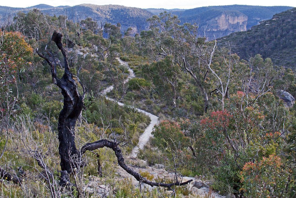
Tracks can be rugged, signposting sparse, and mist common—carry detailed maps and know how to navigate. Water sources are natural only; treat anything taken from creeks or the river. Expect steep climbs on exit routes. Mobile reception is unreliable in the valley; a personal locator beacon is wise for longer trips. Pack out all rubbish and keep fires minimal to preserve the wilderness feel.
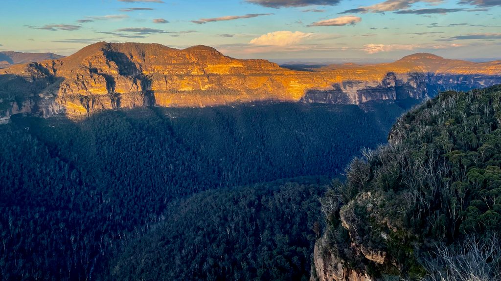
For big views, aim for clear mornings or late-afternoon light that warms the sandstone cliffs. Midweek is typically quieter than weekends. After rain, waterfalls surge but tracks can be slippery—plan accordingly and check current area information before committing to long descents.
Place · 0.7 mi away
Place · 0.7 mi away
Place · 0.7 mi away
Place · 0.9 mi away
Easy · 0.7 mi away
Easy · 1.1 mi away
Challenging · 1.1 mi away
Challenging · 1.1 mi away

Parkwolf Tour Guide
