
Place · 0.1 mi away
Challenging
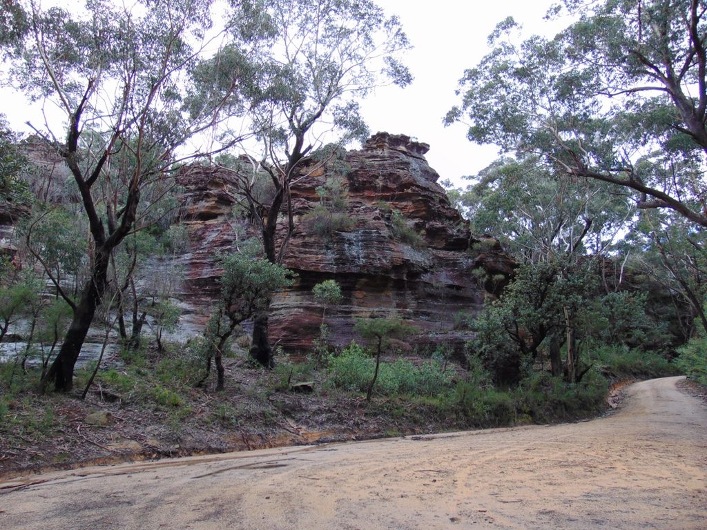
This is a serious Blue Mountains classic: a steep pass from the escarpment down into the Grose Valley, ending in the famed Blue Gum Forest before you turn around and grind back out. Expect about 10.0 miles (16 km) total, out-and-back, taking most hikers 6–8 hours. It’s graded challenging, with roughly 540 m of total ascent on the return.
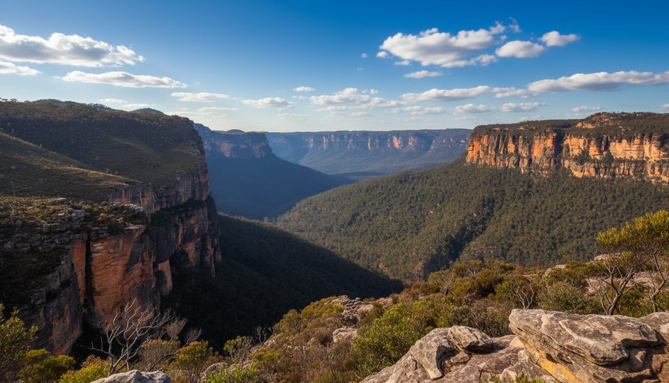
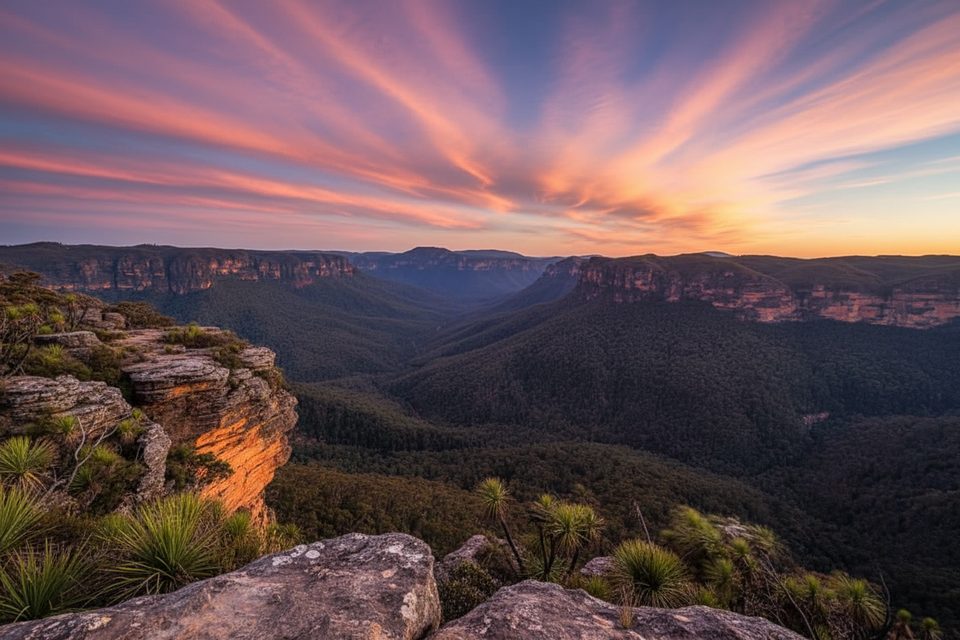
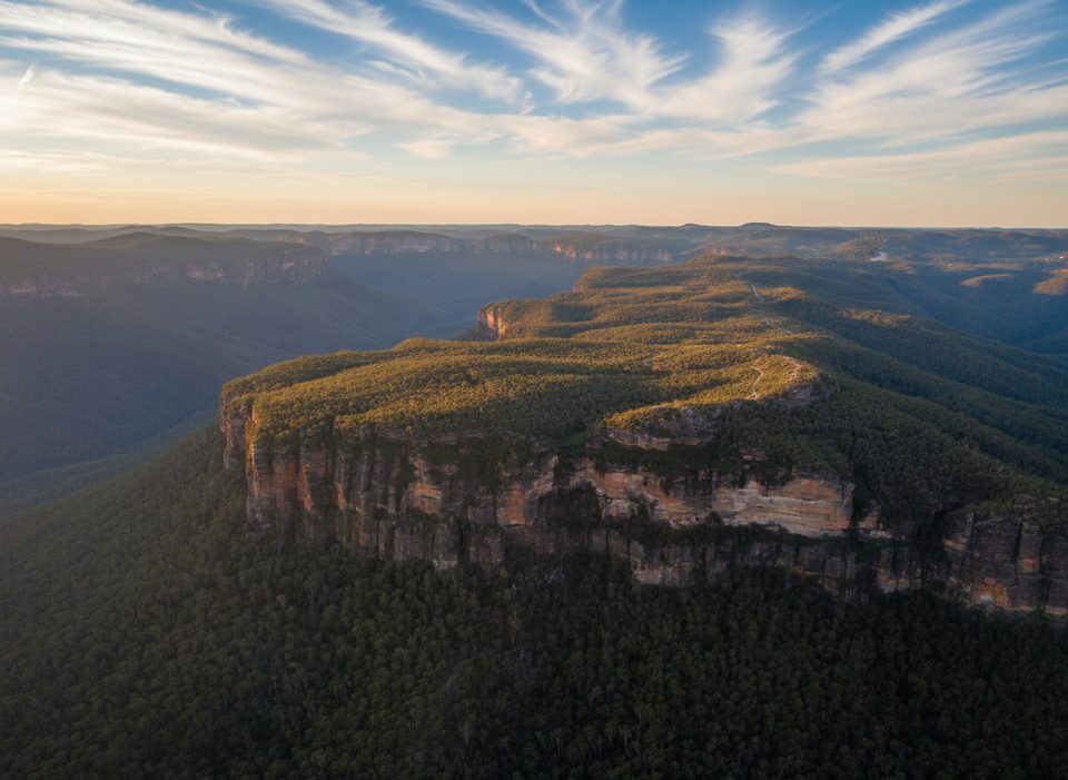
Right from the rim, you get big Grose Valley vistas framed by sheer sandstone walls. Early in the descent you’ll slip through the Fairy Grotto—lush, mossy rock, ferns, and cool, shaded gullies that feel rainforest‑like. Lower down, coachwood and sassafras appear, with epiphytes and orchids clinging to trunks. On the valley floor, the clear Grose River runs through bouldery pools, and the destination—Blue Gum Forest—rises in elegant columns beneath a dense canopy. Keep an eye out for Crimson Rosellas in the forest and, if you’re lucky, a Wedge‑tailed Eagle circling high above the cliffs.
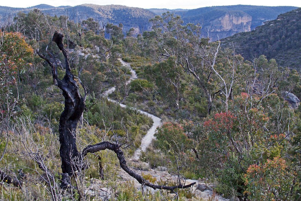
From the Pierces Pass picnic area, the track drops hard and fast—the first couple hundred meters are especially steep—then eases into a sustained descent on steps and rough, rocky tread. The valley floor section includes a Grose River crossing, which can be slow or hazardous after rain. Many hikers break for a dip in the river’s deep, clear pools. The return is a lung-buster: long, steady climbing with little reprieve, especially punishing in summer heat.
Spring and autumn are prime: milder temps, more birdlife, and wildflowers. Summer is doable if you start very early, but the climb out can be brutally hot. Winter brings cold, mist, and slippery footing; the river is frigid and hypothermia is a real risk if you get wet.
Want a bigger traverse? Many walkers link Blue Gum Forest/Acacia Flat to Perrys Lookdown for a point‑to‑point Grose Valley crossing. It adds commitment (and another big climb) but spreads the effort in a satisfying way.
Park at the Pierces Pass picnic area at the end of Pierces Pass Road (off Bells Line of Road). The track starts from the carpark.
Steep, committing descent/ascent with rough, slippery surfaces and narrow ledges; Grose River crossing can become dangerous after rain. Patchy mobile coverage—carry map/GPS and consider a PLB. Treat all river water (boil at least 3 minutes). Heat stress is common on the climb out; start early and carry ample water.
Place · 0.1 mi away
Place · 0.4 mi away
Place · 1.1 mi away
Place · 1.6 mi away
Easy · 0 mi away
Challenging · 0 mi away
Challenging · 0 mi away
Challenging · 1.7 mi away

Parkwolf Tour Guide
