
Place · 0.4 mi away
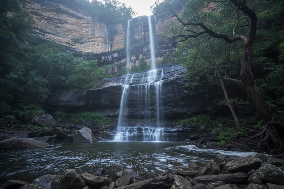
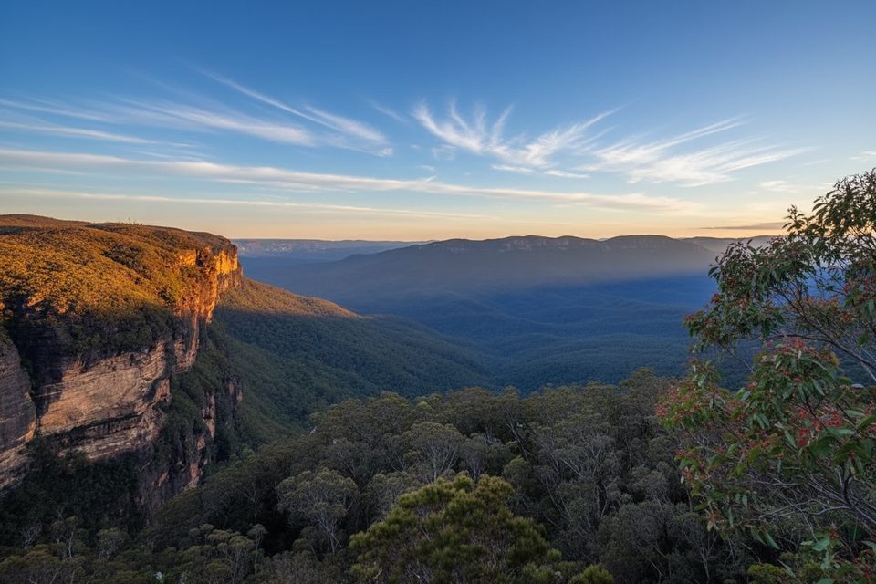
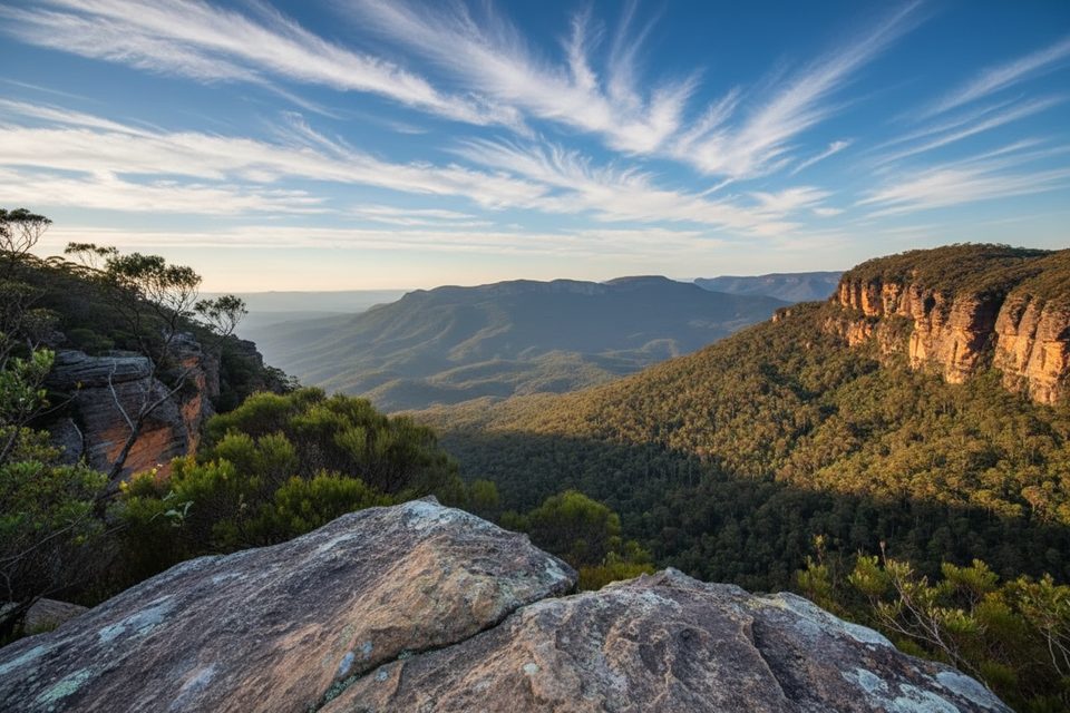
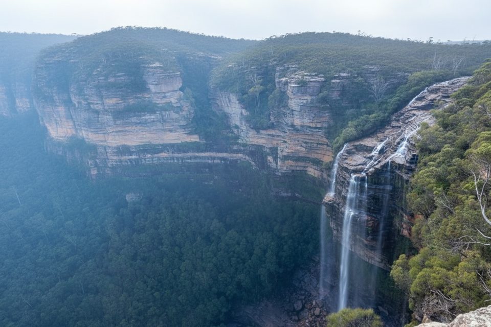
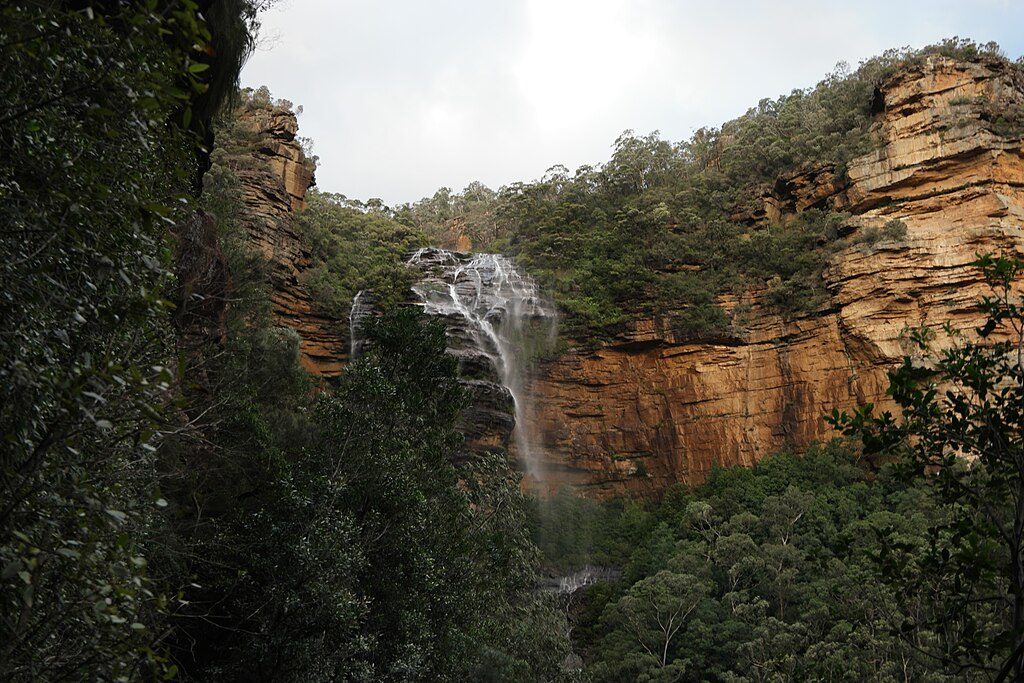
Vera Falls is the largest waterfall on Valley of the Waters Creek, a dramatic multi‑drop cascade tucked deep in a lush gully. It feels properly remote—far quieter than the cliff‑top lookouts—and rewards the effort with views from both the top and the base. From the upper rock slabs you can gaze across to the Kedumba Walls; from the bottom you feel the full height and power of the falls, especially after rain.
This is a serious bushwalk. The track is Grade 5—steep, rough, and sometimes vague with minimal signage and sections exposed to significant drops. Expect a big descent and a leg‑burning climb back out. Allow ample time; trip reports suggest roughly 3.8 km one‑way and anywhere from 1.5–4 hours depending on route and fitness.
The track can become muddy, indistinct, or even impassable after rain. Rocks are slick, there’s exposure to heights, and navigation can be tricky. There are no facilities at the falls—no toilets, water, or shelters—so you need to be self‑sufficient. Bring sturdy footwear, plenty of water and food, and proper navigation (map/GPS).
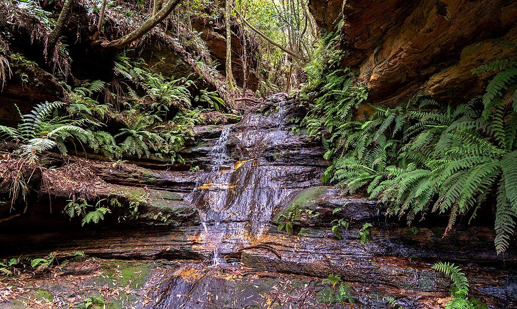
Keep an eye (and ear) out for lyrebirds and small forest birds along the track; reptiles are occasionally spotted. The cool, moist gully supports diverse birdlife and invertebrates.
Go in settled, dry weather. After rain, the waterfall surges and looks spectacular, but tracks and rocks turn treacherously slippery—skip it if conditions are wet or stormy. Crowds are typically light compared to the busy lookouts on the plateau, even on weekends.
Many walkers visit the base first, then return to the junction to continue up for a side trip to the top of the falls, before heading back via the Valley of the Waters. If you like a quieter, adventure‑heavy day with big payoff scenery, this one’s underrated.
Place · 0.4 mi away
Place · 0.4 mi away
Place · 0.4 mi away
Place · 0.5 mi away
Moderate · 0.6 mi away
Moderate · 0.6 mi away
Challenging · 0.6 mi away

Moderate · 0.6 mi away

Parkwolf Tour Guide
