Pros & cons
PROS
- Mining relics (kiln and adits) close to the main route for easy exploration
- Distinctive upland swamp and Pyramid Rock make navigation cues simple and memorable
- Consistently quiet compared to better-known Blue Mountains lookouts
CONS
- Unmarked side tracks require confident navigation
- Exposed, unfenced cliff edges near Thor Head
- Initial descent becomes a noticeable uphill slog at the end
Trailhead on Victoria Falls Road at a signed gate (“Asgard Swamp 3 km”). Unsealed but generally 2WD accessible; park near the gate. Road can be rough with potholes after rain.
Unmarked side tracks, exposed cliff edges near Thor Head, slippery rock after rain, swampy/boggy patches, and no facilities; carry water and navigate carefully.
Overview
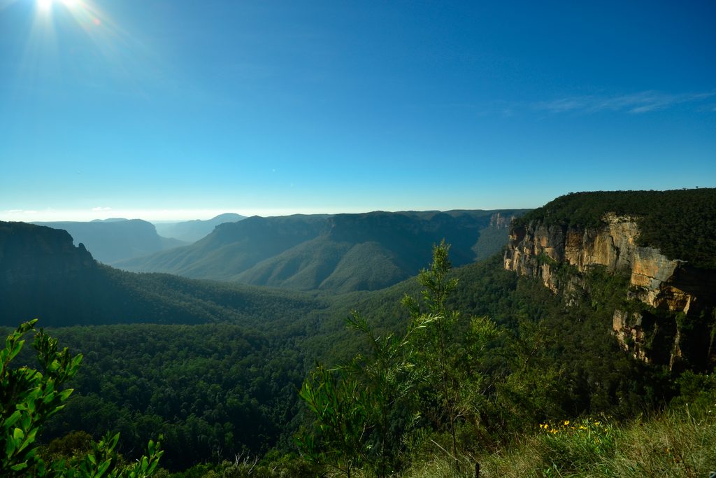
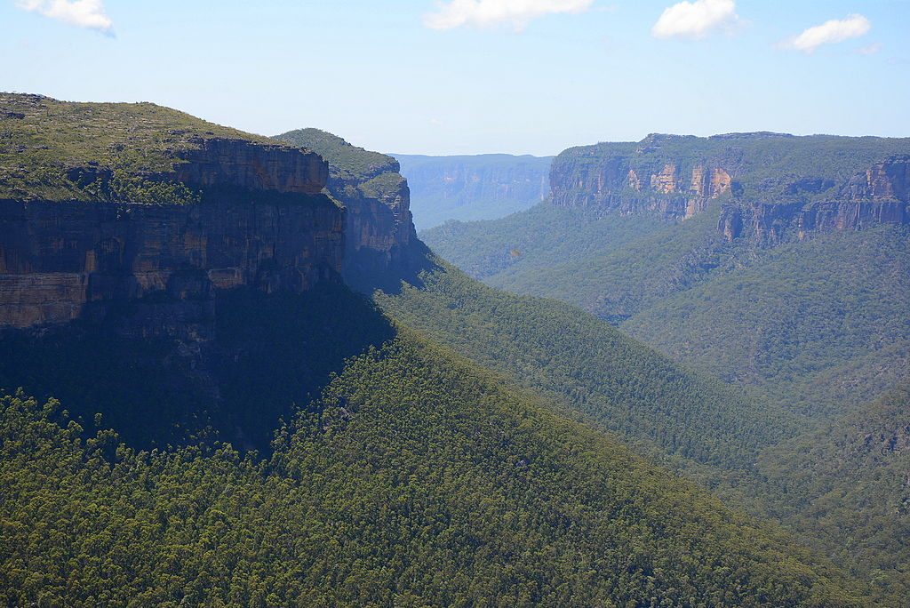
A classic Blue Mountains outing with a twist: this moderately challenging, out-and-back bushwalk blends panoramic Grose Valley vistas with atmospheric mining relics and a distinctive upland swamp. Expect roughly 8–9 km total (return) with about 280–400 m of elevation gain, taking most hikers 2.5–4 hours depending on side trips and how long you linger at the lookouts.
Route and What It’s Like
Start on Victoria Falls Road at the signed gate (“Asgard Swamp 3 km”) and cruise a mostly downhill old service/fire trail for the first kilometre—just remember it’s an uphill grind on the way back. You’ll cross Asgard Brook and skirt the edge of Asgard Swamp before undulating between sandstone outcrops. A rougher, unmarked footpad leads out to Thor Head for big, cliff-edge views. Optional spurs visit the Asgard Mine and kiln site and other Norse-named headlands nearby.
Highlights
- Thor Head’s unfenced clifftops deliver sweeping Grose Wilderness views with real wilderness feel.
- The high, peaty Asgard Swamp is serene and birdy, with Pyramid Rock a handy landmark right off the trail.
- The 19th-century Asgard Mine and kiln remains add a surprising dose of Blue Mountains industrial history.
Best Time to Hike
Year-round access, but spring and autumn usually bring milder temps, wildflowers, and clear air. Summer can be hot—pack extra water—and winter brings crisp visibility but can leave sections boggy after rain. Weekdays or early starts are best for solitude, which this track already delivers more than most.
Tips and Cautions
- Side tracks to Thor Head and the mine are unmarked: bring a map/GPS and pay attention to landmarks like the swamp, creek crossing, and rock outcrops.
- Cliff edges near Thor Head are exposed and unfenced; rocks can be slippery after rain.
- There are no facilities—carry plenty of water, food, and sun protection. The unsealed access road can develop potholes after wet weather.
Who This Is For (and Not)
Great for hikers who like a quieter Blue Mountains day with varied terrain, big views, and a dash of history. Less ideal for beginners uncomfortable with navigation or for families with small children due to exposure near the clifftops.
Wildlife on this trail
Near Asgard Swamp and Thor Head Track
All places →All trails →
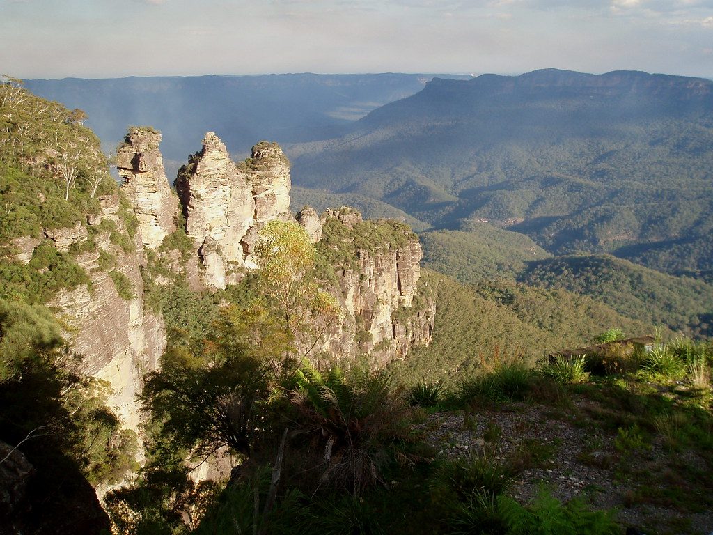
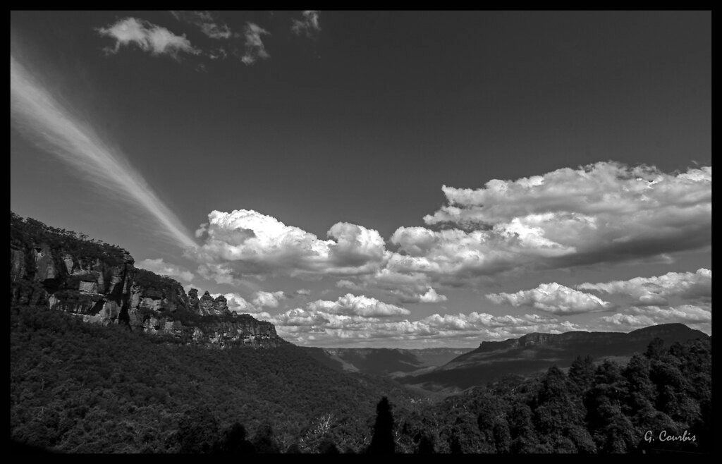
Three SistersIconic sandstone spires with sweeping Jamison Valley viewsTrailhead · Parking
Echo Point Lookout (Three Sisters)The classic, head-on view of the Three Sisters over Jamison ValleyScenic Viewpoint · Trailhead
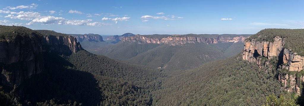
Govetts Leap LookoutHuge Grose Valley vistas with a 180m waterfall in full viewTrailhead · Parking
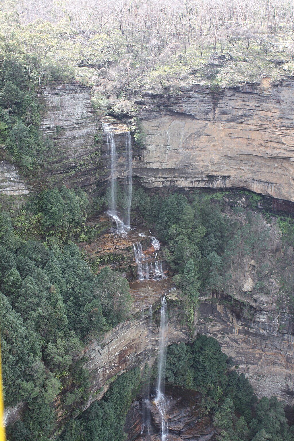
Govetts Leap FallsA 180 m bridal-veil drop framed by vast Grose Valley viewsTrailhead · Restroom
National PassHistoric cliff-ledge loop with big valley views and waterfall dramaChallenging · 2.8 mi · 3 hr
Grand Canyon TrackHand-built rainforest canyon loop with waterfalls and stair-filled dramaModerate · 3.7 mi · 2.5 hr
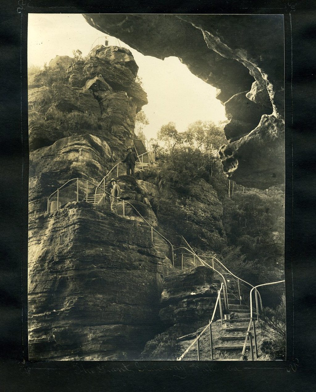
Giant StairwaySteep descent beside the Three Sisters into the Jamison ValleyChallenging · 2.9 mi · 2.5 hr
Claustral Canyon TrackIconic slot canyon with waterfalls, swims, and serious ropework.Challenging · 7.5 mi · 10 hr