
Place
Challenging
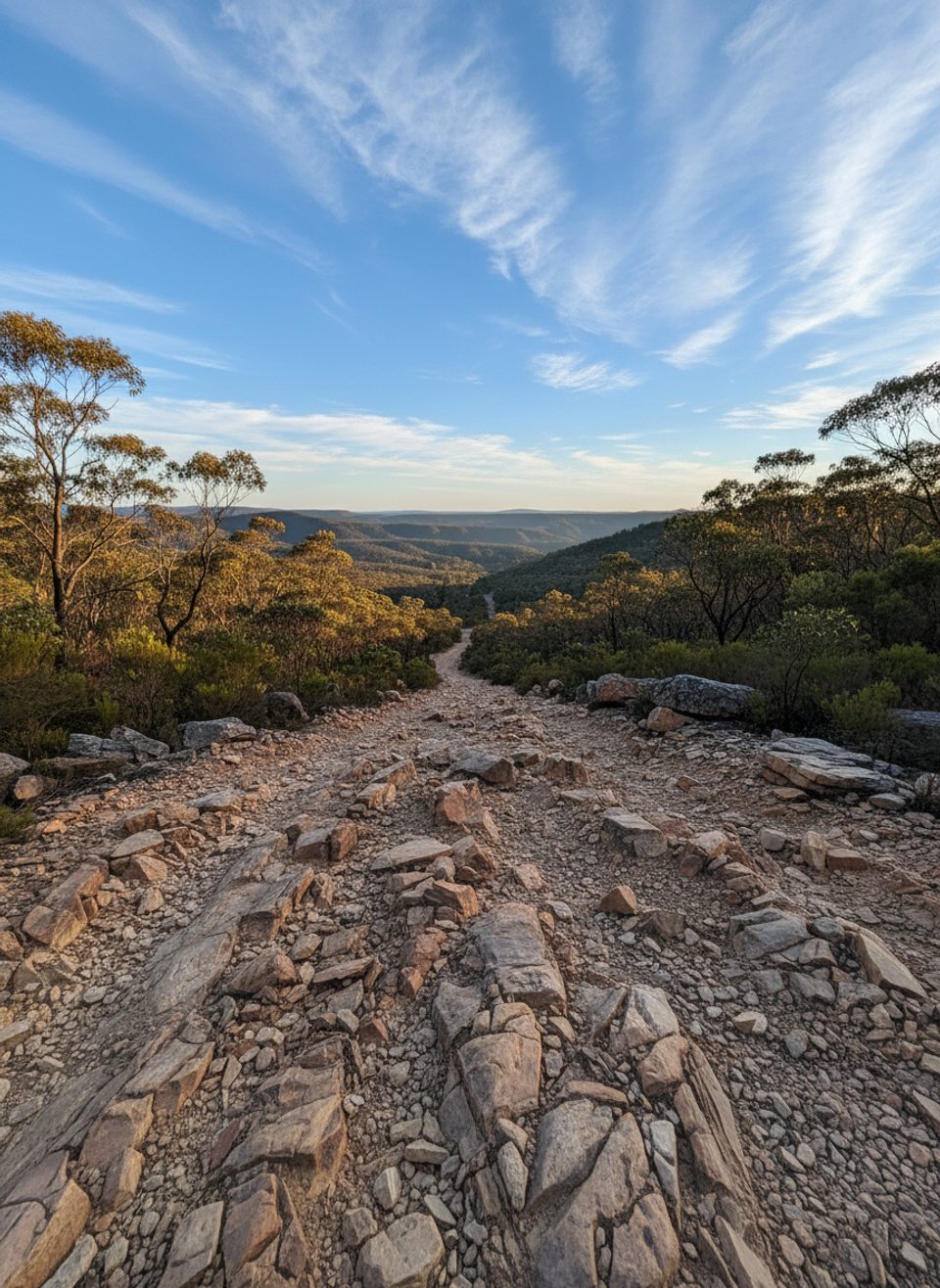
Bruce’s Walk is a historic point-to-point traverse threading through the upper Blue Mountains between Wentworth Falls and either Lawson or Medlow Bath. It’s 21.4 km (13.3 miles) one way, typically taking about 8 hours 50 minutes for a full-day push. Expect roughly 968 m of ascent and 1,288 m of descent overall. This is not a manicured showpiece; it’s a patchwork of old maintenance tracks, bush paths, and short road links—rewarding for experienced walkers who enjoy navigation and solitude.
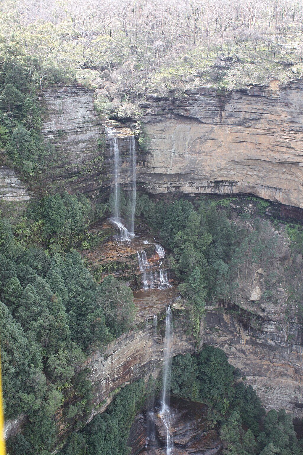
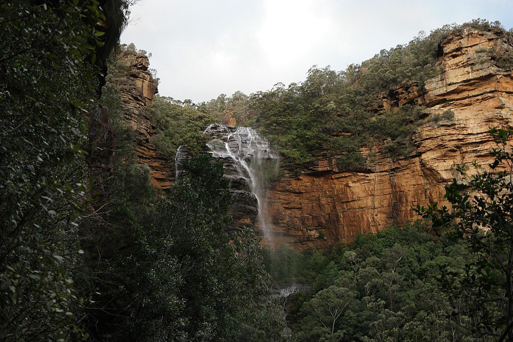
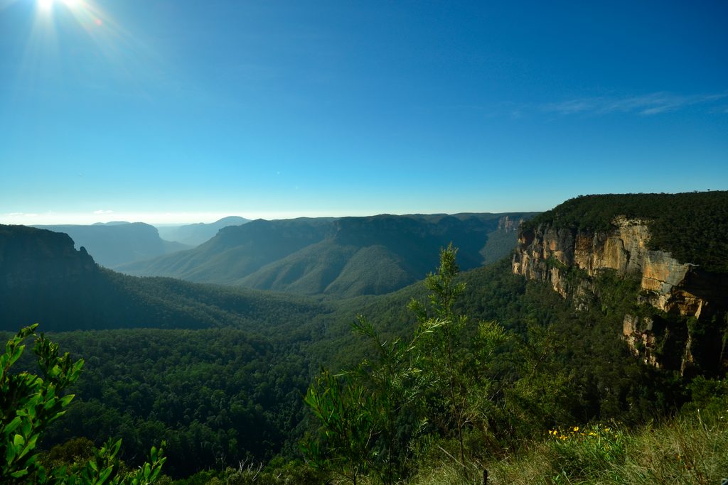
Scenery swings from leafy glens and forested ridges to sandstone gullies, creeks, and occasional open views typical of the Blue Mountains escarpment. Between Wentworth Falls and Lawson you may encounter short ladders, caves, and at least one hidden waterfall. Multiple creek crossings—including the notable Katoomba Creek—add variety and can mean some steep, uneven climbs and descents. You’ll also pass remnants of old powerline infrastructure that hint at the track’s origins.
Wayfinding can be the crux. Signage is sparse or absent in places, and the route sometimes merges with fire trails, maintenance roads, and other minor tracks. Sections can be overgrown or blocked, and you may need to bush-bash briefly or rethink your line. Sturdy footwear and a map/GPS are essential. The physical effort is moderate to hard due to length, uneven footing, and those repeated ups and downs. Most hikers will feel it by day’s end.
Common starts are Wentworth Falls Station, with finishes at Medlow Bath or Lawson. Many hikers use public transport or arrange a car shuffle to keep road walking to a minimum. There are limited facilities along the route—carry all the water and food you need and consider a filter if you intend to top up from creeks (which can be seasonal).
Spring and autumn are the sweet spots: milder temperatures, blooming wildflowers, and generally friendlier conditions. Winter is workable with proper layers; cold mornings and mist can add drama but may reduce visibility. Summer brings heat, some exposed stretches, and higher bushfire risk—start early and carry extra water. Avoid heavy rain events: the track can turn muddy and slippery, and creek crossings may become hazardous.
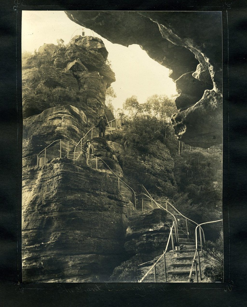
Laid out in 1931 by surveyor A. Bruce and opened as a public walking track the same year, the route was heavily promoted before fading into neglect after World War II. It saw a grassroots revival from 1980 onward, thanks to volunteers who cleared sections and kept the story alive. Even today it retains that volunteer-maintained feel—part of the charm for some, a deal-breaker for others.
If you want solitude, heritage, and a sense of exploration, Bruce’s Walk delivers. If you want a short, well-marked, crowd-pleasing classic, this isn’t it. Consider a shorter, more groomed alternative elsewhere in the park if you’re new to the area or hiking with kids.
Street parking near Wentworth Falls Station or at Lawson/Medlow Bath is possible, but most hikers use a car shuffle or the train to manage this point-to-point route.
Expect minimal signage, overgrown stretches, creek crossings, and steep, slippery sections. Avoid heavy rain due to mud and potential creek flooding. Limited water and no facilities for long stretches—carry enough and consider a filter.
Place
Place
Place
Place
Challenging
Moderate
Challenging

Challenging

Parkwolf Tour Guide
