
Place
Easy
A straightforward ridge outing with a huge payoff, this out-and-back follows a wide management/fire trail from Blackheath along Burramoko Ridge to Baltzer Lookout and the dramatic Hanging Rock. Expect roughly 10–11 km total (about 6.5–6.8 miles) return. It’s mostly flat to gently undulating and shared with cyclists, with the challenge concentrated right at the end near the cliffs.
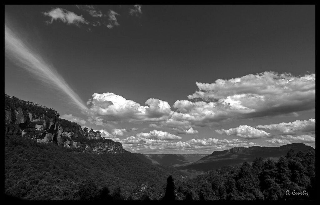
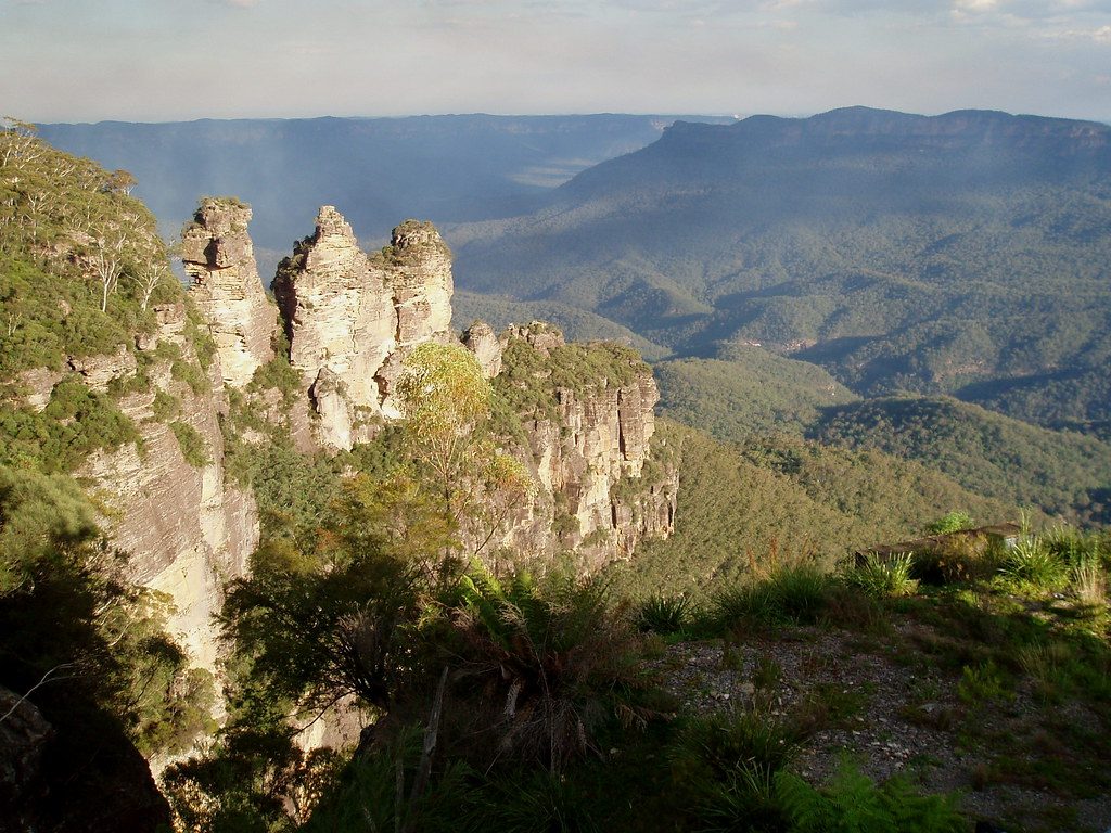
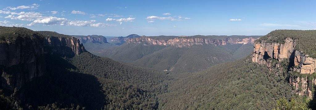
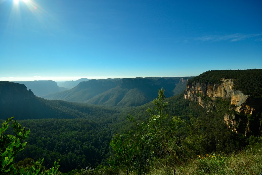
You’ll move from dense forest to open ridge views before the finale: sweeping, unobstructed vistas over the Grose Valley. The showpiece is Hanging Rock, a detached sandstone spire split from the cliff by a narrow chasm—one of the Blue Mountains’ most photogenic formations. Baltzer Lookout is unfenced and feels wild; treat it with respect and keep well back from the edge, especially with kids.
For about 4 km the surface is a wide, sandy/dirt fire trail—easy walking and popular with bikes. Near the end a narrower, rougher footpath drops towards the cliff line, with a short, steeper, more rugged approach to the lookout and views of Hanging Rock. Sturdy footwear helps. There are no toilets or water on the route; carry everything you need. The trail is open year-round and suits most reasonably fit hikers; the final exposed section is where caution matters.
Do not attempt to jump the gap to Hanging Rock—there’s a serious drop and accidents have happened. The lookout and cliff edges are unfenced and exposed to wind; skip the edge in strong winds or wet conditions. Share the trail courteously with cyclists. Dogs are only allowed on-leash for the first kilometre outside the park boundary; no dogs beyond the gate. No drones or commercial filming/photography without permission, and no smoking.
Clear-weather days make the Grose Valley vistas pop. Autumn and spring bring the most comfortable temperatures. Summer can be hot with limited shade, so start early and bring plenty of water and sun protection. Weekends see more visitors and parking is limited at the Ridgewell Road gate—arrive early for an easier start.
Small parking area by the Ridgewell Road gate (Burramoko Ridge Trail parking) near Blackheath; spots are limited, so arrive early.
Unfenced cliff edges at Baltzer Lookout; final approach is steep and rough. Do not attempt to jump to Hanging Rock. No water or toilets. Hot, sun-exposed conditions possible. Shared with cyclists. Dogs not permitted beyond the park boundary.
Place
Place
Place
Place
Challenging
Moderate
Challenging

Challenging

Parkwolf Tour Guide
