
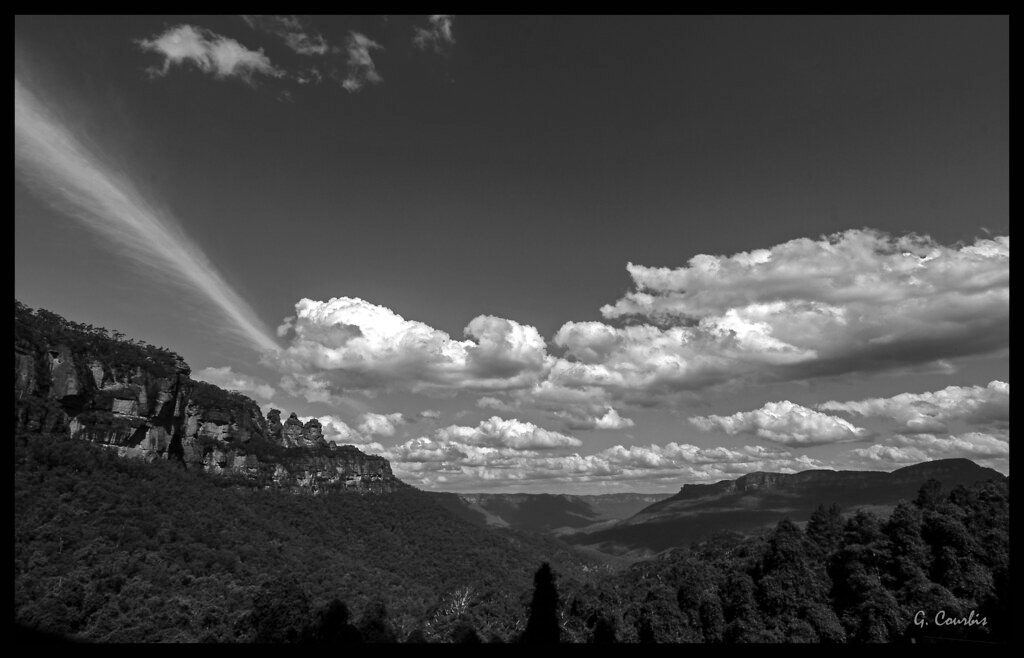
Place
Easy
Erskine Creek delivers classic lower-Blue-Mountains drama: tall sandstone walls, clear green water, sandy creekside beaches, and a remote feel once you drop into the valley. Most visitors reach the creek via the Jack Evans Track for a short, rewarding outing with time to swim; others opt for the Pisgah Rock route for a technical, adventurous descent with big views.
The straightforward option is Jack Evans Track, a well‑maintained path to the creek and back that’s easy to moderate, with a climb on the return and a bit of rock hopping near the water. Expect roughly 1.7 miles total and 1–1.5 hours when using this route. The Pisgah Rock option starts with an easy stroll to the lookout, then drops steeply via scrambles and ledges down to Erskine Creek—more committing and not recommended for kids or inexperienced hikers. If you continue exploring along the creek, expect faint pads, off‑track sections, and creek crossings; some parties turn this into a much longer day.
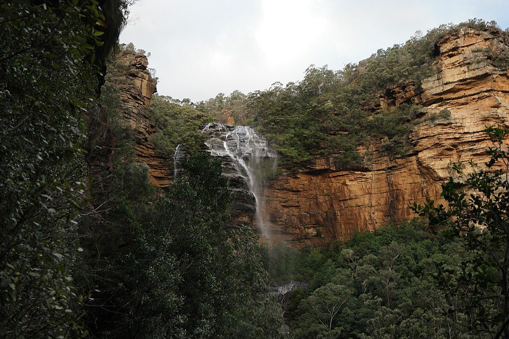
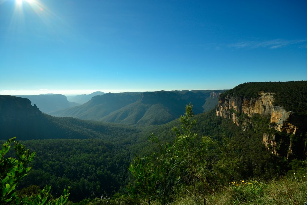
The valley showcases ancient sandstone cliffs and sculpted rocky slabs, with cascades and deep, inviting pools. Grass trees and lush mosses appear near the creek banks, and the junction with Lincoln Creek is a highlight for a dip—there’s a superb swimming hole and sandy beach that make it hard to leave. Views from Pisgah Rock are a photographer’s delight, framing the gorge and the sinuous creek below.
Spring and early autumn bring pleasant hiking temps and lush bushland. Summer is fantastic for wild swimming and lazy beach time, but the heat makes the climb out feel bigger. The area is walkable year‑round, but any moisture turns the scrambling and creek‑edge slabs into slick hazards.
Bring swimmers and sturdy shoes with good grip. There’s no potable water—carry what you need. Navigation skills help for any creekside exploring beyond the main access tracks. Budget extra time if you plan to swim, poke around the cascades, or shoot photos from Pisgah Rock.
Access the creek via the Jack Evans Track or Pisgah Rock; park at their respective trailheads.
Steep, exposed scrambles on the Pisgah route; slick rock when wet; off‑track creek pads with crossings; no potable water.
Place
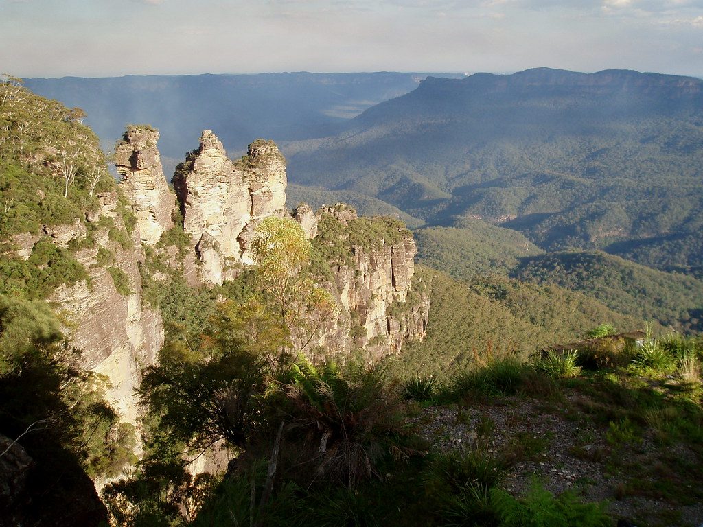
Place
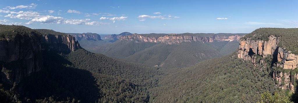
Place
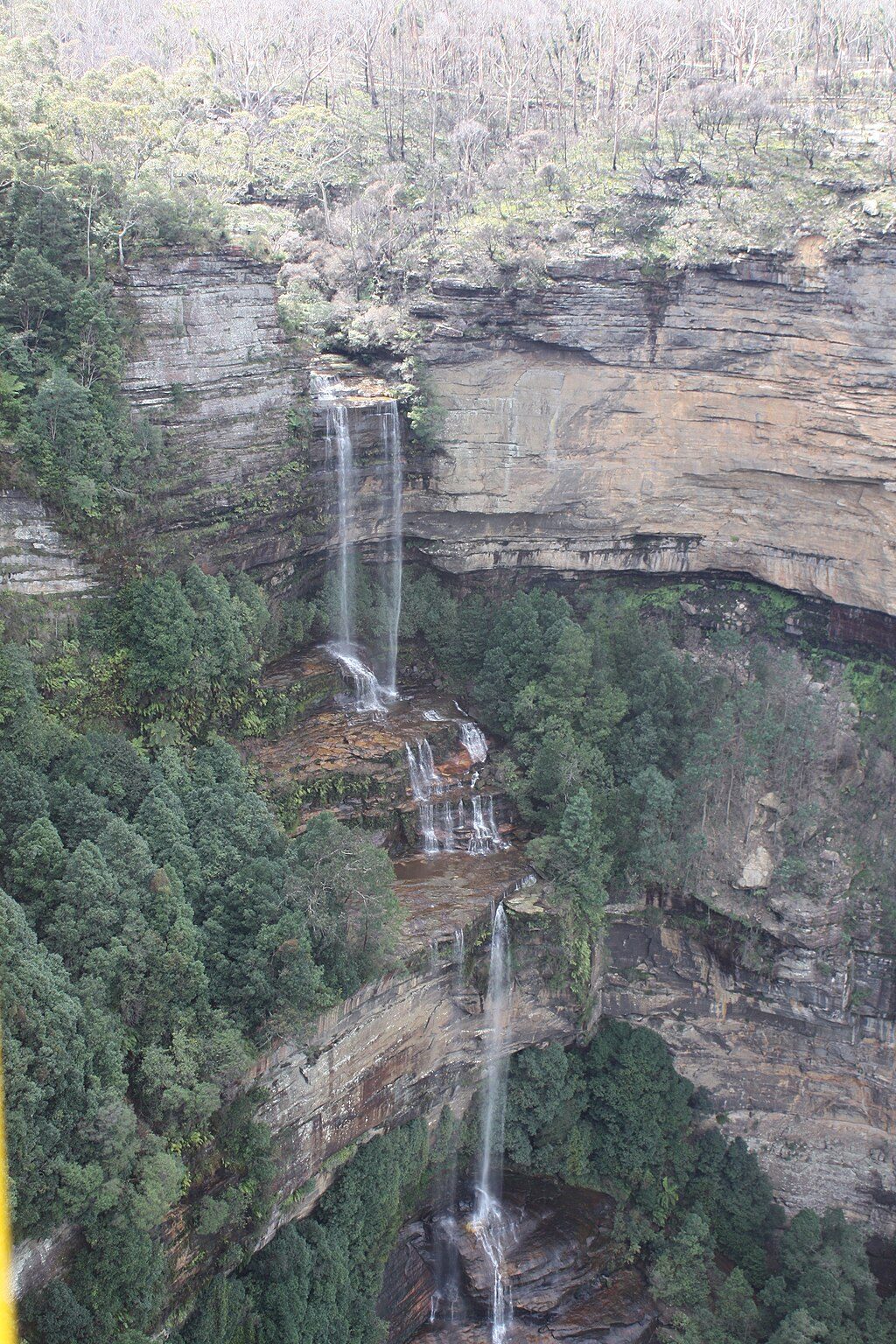
Place
Challenging
Moderate
Challenging

Challenging

Parkwolf Tour Guide
