
Place
Easy
This is a straightforward ridge-top out-and-back to one of the Blue Mountains’ best-kept lookouts. It’s 13 km total (about 8.1 miles) to Faulconbridge Point and back, with roughly 220–300 m of gentle elevation gain spread across a wide, well‑maintained fire trail. Expect about 3 hours on foot for the return trip, or around 45 minutes one way by bike. The walking itself is easy; the length is what makes it “moderate.”
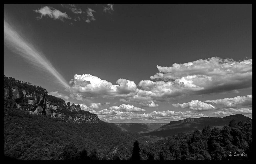
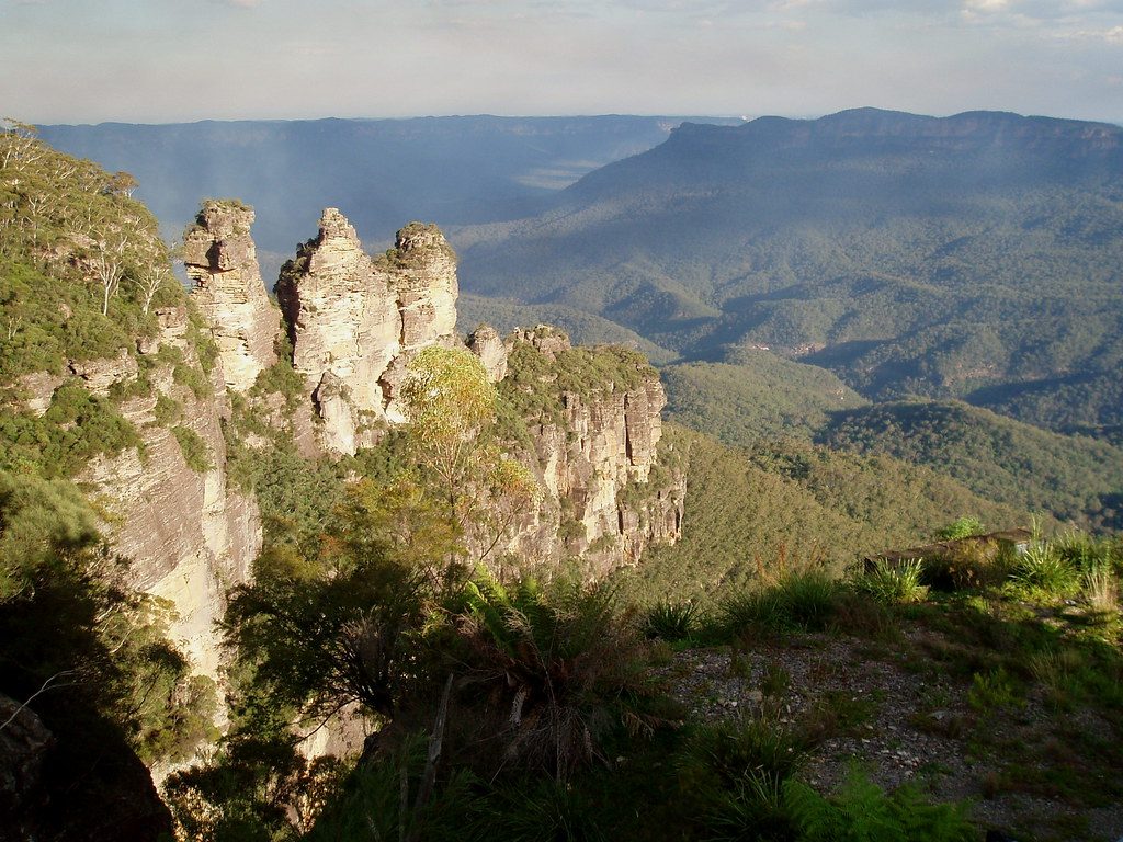
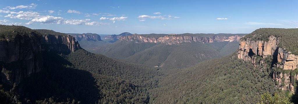
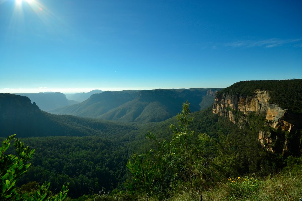
From the gate at the end of Grose Road, the track rolls along Faulconbridge Ridge through heavily wooded bushland. It’s broad, smooth, and mostly flat with a few long, steady hills—great for easy hiking and very popular with mountain bikers. The payoff is all at the end: Faulconbridge Point’s sweeping, near‑360° views across the Lower Grose Valley to the Grose River far below, ringed by steep, forested sandstone country. It’s quieter than the big-name viewpoints, which boosts the sense of wilderness.
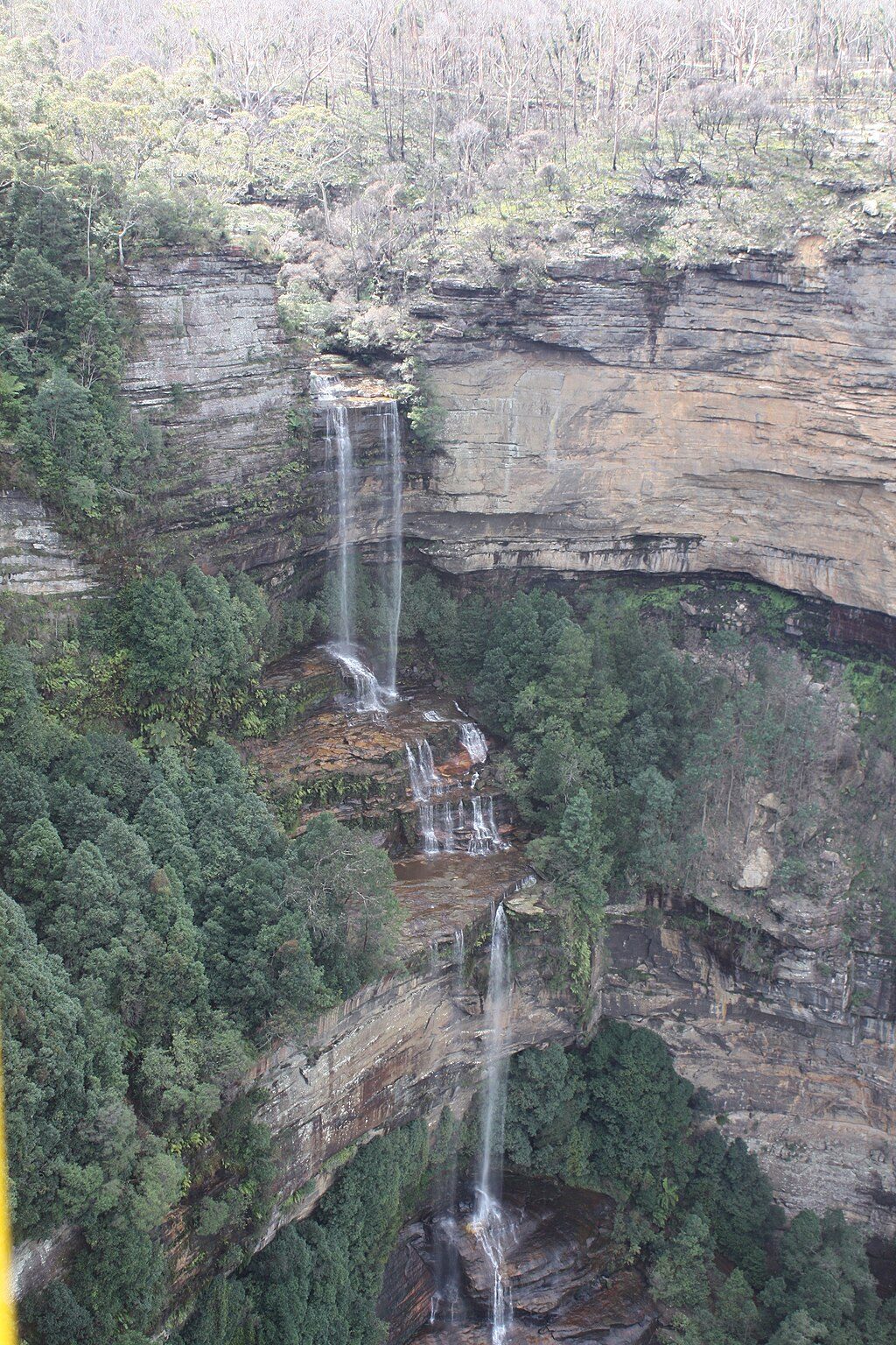
If you’re feeling ambitious, there’s a rough, steep continuation from the ridge down toward the Grose River. That extension is a different beast—expect steep, technical sections with rope and ladder assists and allow extra time. The reward can be a wild swim in the river, but only attempt it if you’re prepared and confident on rugged terrain.
Year‑round works here. The bushland provides decent shade in warmer months, and the lookout is superb in any season. Sunset is the move if you want magic light—and likely solitude—at the point. Start early or late on hotter days and bring plenty of water; there are no facilities.
Access is from the end of Grose Road in Faulconbridge. The final stretch of road is unsealed but generally accessible, and there’s a small parking area just before the trail gate, within a short walk of the start.
Anyone who wants a low‑stress approach to a big, panoramic payoff. It’s ideal for hikers who don’t need technical terrain to feel out there, and for riders after a cruisy ridge roll. Add the river descent only if you want a serious, steep challenge.
Small carpark just before the gate at the end of Grose Road in Faulconbridge; last section of road is unsealed but accessible.
Unfenced cliffs at the lookout; long, exposed stretches with no water or toilets; shared with mountain bikes; optional descent to the Grose River is steep and technical with rope/ladder sections—attempt only if prepared.
Place
Place
Place
Place
Challenging
Moderate
Challenging

Challenging

Parkwolf Tour Guide
