
Place · 0.1 mi away
Moderate
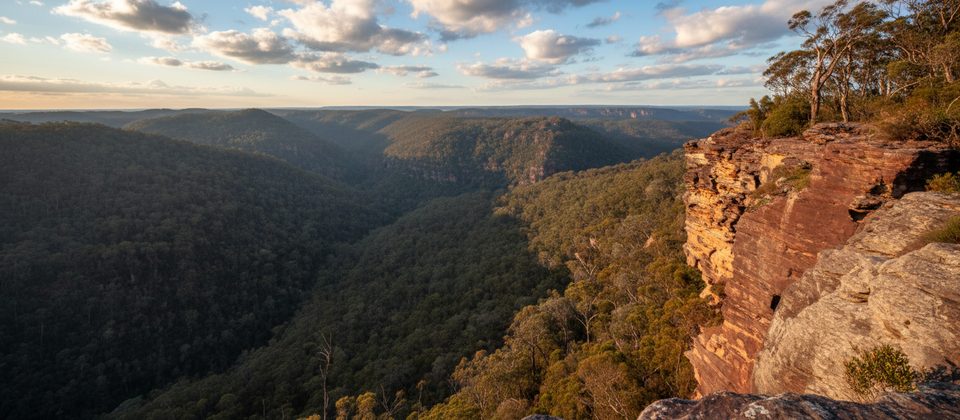
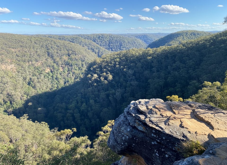
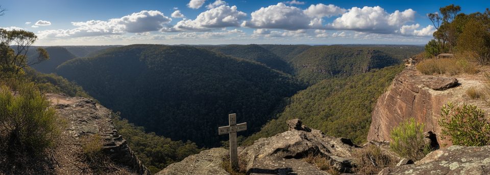
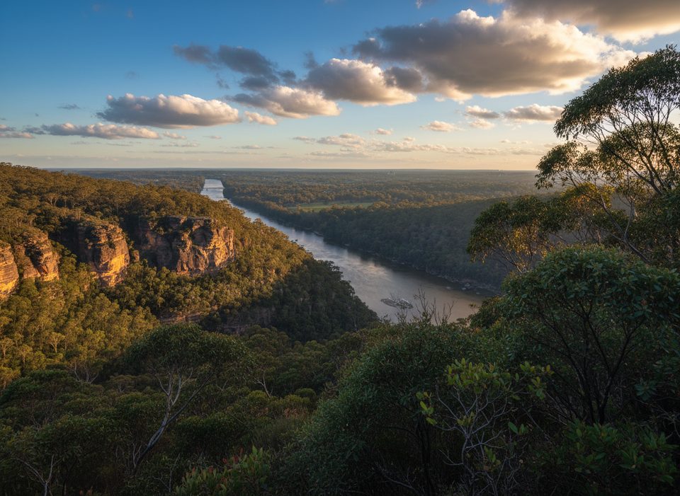
This is the definition of quick payoff: a short, moderately steep walk through classic Blue Mountains bush to a rock platform with sweeping views over Glenbrook Creek and across to Lost World. From the small car park, it’s about 0.5 miles total (out-and-back) to the lookout and back—brief, but with enough stairs and uneven sandstone to make you earn the view.
Expect tall eucalypt forest, sandstone steps and ledges, and that signature lower-mountains panorama of deep valleys and orange cliffs. The lookout itself is unfenced in places, so you’re right on the edge of the scenery—spectacular, but mind your footing.
The path is well‑formed but rocky in spots, with short, steep sections and constructed stone steps and handrails. No facilities here: no toilets, no water, and only a small car park. It’s a straightforward out‑and‑back to the lookout; plan 30–60 minutes if you linger for photos.
If you want more, experienced hikers can drop from the lookout towards Glenbrook Creek and link bigger days via Bunyan Lookout, Lost World, or even longer loop/through‑walks. These options are much tougher with significant climbs and rougher terrain—take a map or GPS and be prepared.
Year‑round works. Spring and autumn bring comfortable temps and seasonal wildflowers. Summer can be hot—go early or late. Winter is generally pleasant but can be windy on the exposed lookout. For photography, sunrise and late afternoon light flatter the valley. The car park is small, so arrive early on weekends and holidays.
Small car park at the end of Farm Rd, Springwood (about 8–10 spaces); no toilets or water.
Unfenced cliff edges, uneven rock steps, and short steep sections; can be slippery after rain. No water on site; supervise children closely.
Place · 0.1 mi away
Place · 0.5 mi away
Place · 3.4 mi away
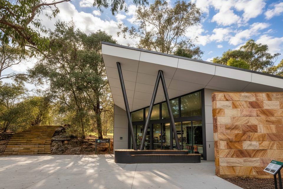
Place · 3.5 mi away
Challenging · 0.1 mi away
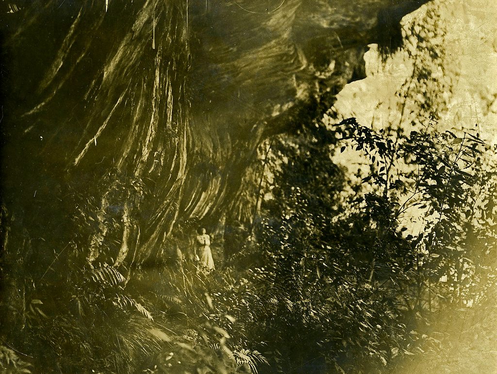
Moderate · 1.3 mi away
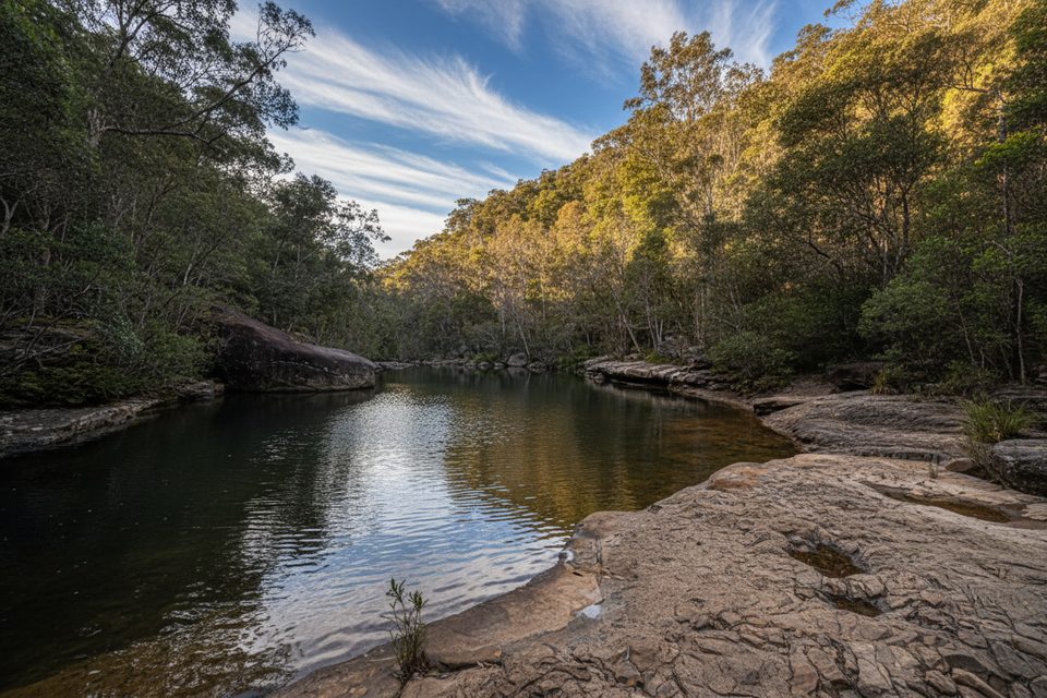
Moderate · 3.5 mi away
Moderate · 3.5 mi away

Parkwolf Tour Guide
