
Place · 0 mi away
Challenging
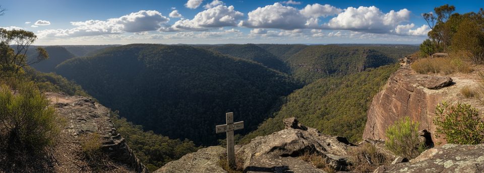
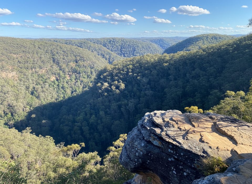
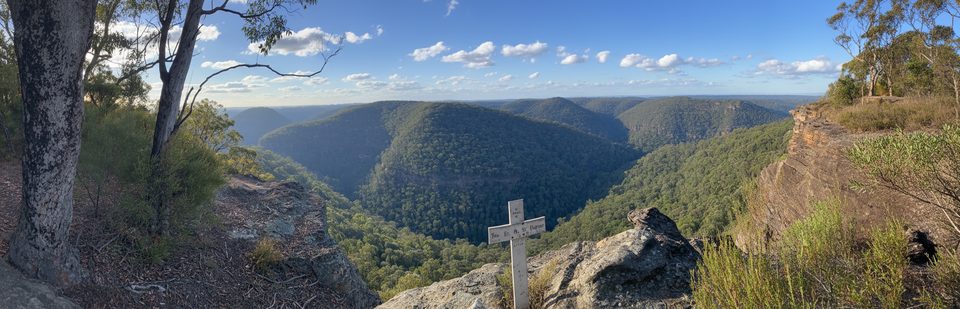
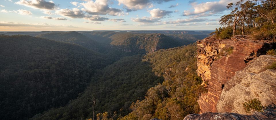
This is a classic Lower Blue Mountains adventure: a steep, rugged out-and-back linking Martin’s Lookout with Lost World Lookout across the Glenbrook Creek gorge. Expect big sandstone cliff vistas, a tranquil creek interlude, and a thigh-burning return climb. Most walkers take 3–4 hours for the return trip. Distance varies with side detours, but plan on roughly 4 miles total (6–7 km return).
It’s a medium–hard undertaking with around 500 m of total elevation gain. The track drops sharply from Martin’s Lookout to Glenbrook Creek, then climbs to the opposite rim before returning the same way. Underfoot you’ll get rough natural singletrack, rock steps and ledges, occasional scrambles, and a rock-hop creek crossing that can be slippery when wet. The path is generally clear, but in the valley some forks are less distinct—basic navigation skills help.
You’ll travel through open forest and heath on Triassic sandstone—archetypal Blue Mountains country shaped by long-term erosion. In spring, wildflowers brighten the ridges. Birdlife is a perk here; listen and look for Gang-gang Cockatoos and Scarlet Robins around the edges and in quieter valley sections.
Autumn and spring have the most comfortable temperatures and the best chance of wildflowers. Winter is crisp and great for the big climbs if you layer up. Summer can be hot and exposed—start early, carry extra water, and be mindful of bushfire conditions.
If you want a short, easy stroll, this isn’t it. But if you’re fit and up for a rugged, rewarding Blue Mountains workout with serious views, it’s a standout.
Small carpark at Martin’s Lookout; private vehicle access only (no public transport).
Steep descents/ascents, slippery rock at the creek crossing, faint track sections in the valley, summer heat and bushfire risk, and no water or facilities—start early and carry ample water.
Place · 0 mi away
Place · 0.4 mi away
Place · 3.4 mi away
Place · 3.5 mi away
Moderate · 0.1 mi away
Moderate · 1.4 mi away
Moderate · 3.5 mi away
Moderate · 3.5 mi away

Parkwolf Tour Guide
