
Place · 0.3 mi away
Easy
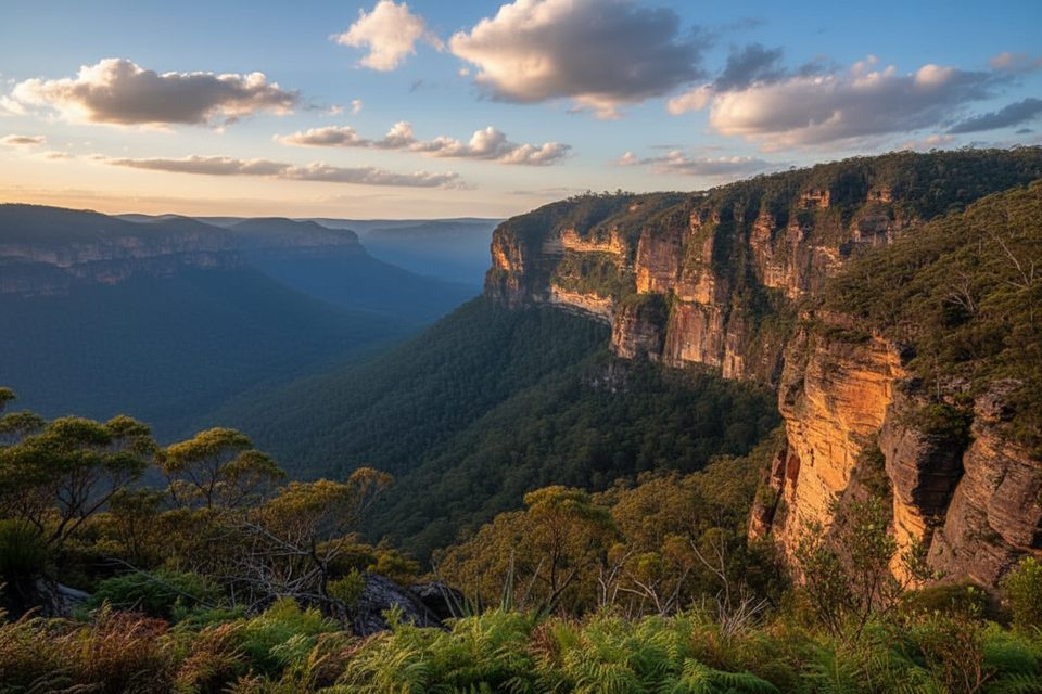
A tranquil, creek-hugging walk on the Blackheath side of Blue Mountains National Park, the Braeside walking track delivers a lot of calm for a little effort. It’s approximately 2.5 km total (out-and-back), typically taking about 1–1.5 hours at an easy pace. Expect a natural bush track with steps, occasional rough patches, and one or two stepping-stone creek crossings.
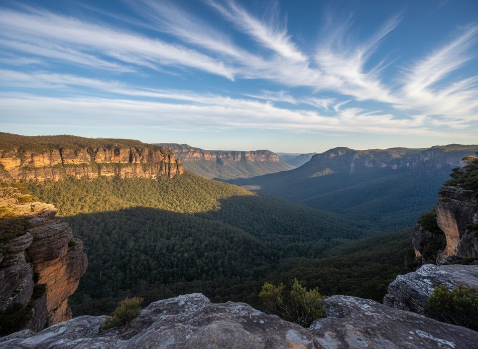
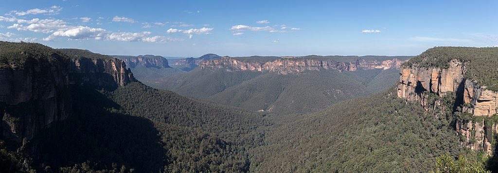
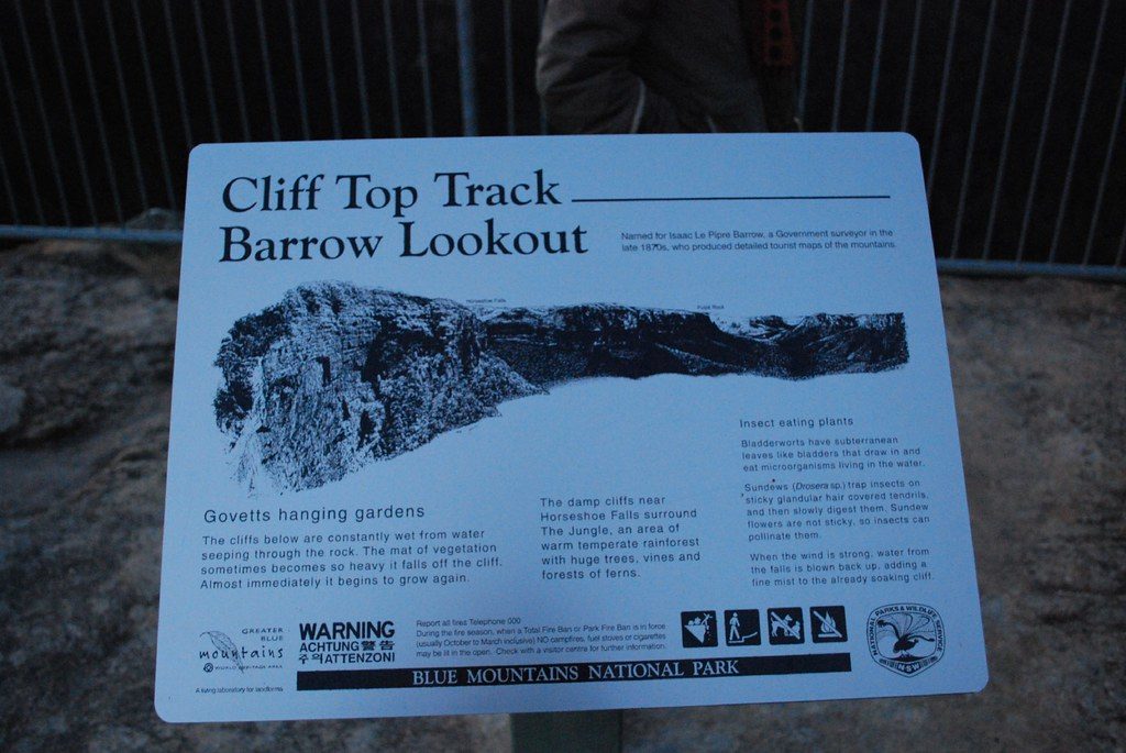
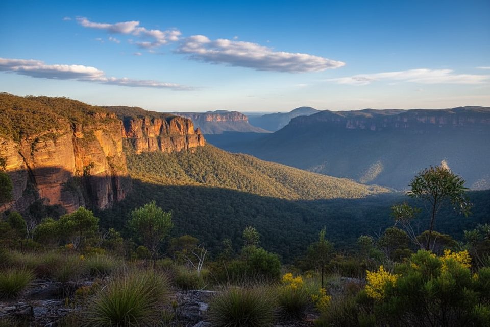
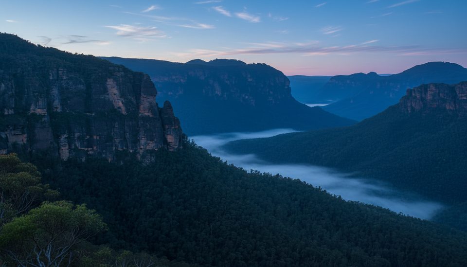
This is a gully-and-creek experience first: mossy rock, ferns, and the sound of running water as you pass small cascades and pockets of lush riparian vegetation. A short detour leads to a quiet picnic area, and the track passes an old railway water-supply dam—an unexpected historical touch in the bush. Views open up at Barrow Lookout with dramatic Grose Valley cliff scenery and sightlines toward Bridal Veil Falls.
Braeside is signed and straightforward as an out-and-back, with steps leading down to stepping stones that give the track its close-to-water character. Confident walkers often link it into bigger days: connect to the Cliff Top Walk between Evans and Govetts Leap lookouts for edge-of-the-world vistas, or build a local loop with Popes Glen. You can also fold it into a larger Grand Canyon → Cliff Top → Braeside itinerary if you want rainforest-style canyon walking plus cliff views before cruising back along the creek. Just note: linking tracks increases time and commitment.
Year-round friendly. Spring and autumn bring comfortable temps and fresh foliage, while waterfalls and cascades pop after rain—though rocks and roots get slick. For solitude, start early on weekdays. Photographers: creek gullies are shaded most of the day; lookouts glow best in softer morning or late-afternoon light.
If you like quiet, creekside walking with the option to bolt on big views, Braeside punches above its weight. It’s a calmer alternative to the area’s headline hikes and makes a great add-on or cool-down after the Grand Canyon or Cliff Top walks.
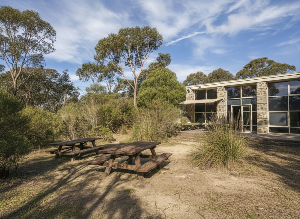
Street parking near the Blackheath end; confident drivers sometimes use the Braeside fire trail for closer access. There’s also a quiet picnic area along the route.
Stepping-stone creek crossings and wet rock can be slick after rain; expect uneven, occasionally eroded sections and a few overgrown patches. Junctions with other tracks/fire trails can be confusing—carry a map if linking routes.
Place · 0.3 mi away
Place · 0.4 mi away
Place · 0.4 mi away
Place · 0.5 mi away
Easy · 0.5 mi away
Moderate · 0.6 mi away
Moderate · 0.6 mi away
Challenging · 0.6 mi away

Parkwolf Tour Guide
