
Place
Moderate
Ingar Trail is a classic Blue Mountains firetrail traverse with a backcountry feel, linking Wentworth Falls to Woodford and passing the bushy oasis of Ingar campground on Ingar Creek. Expect wide unsealed trail, big quiet forest, and the payoff of a natural waterhole for a mid-route cool-down.
The official point-to-point corridor (Wentworth Falls to Woodford via Ingar campground) is about 19 km one way. Many walkers ride or hike it as a through‑route; others do a shorter out‑and‑back to the campground from the Wentworth Falls side (about 9 km one way). The profile undulates with a notable drop to Bedford/Ingar Creek and a stout climb out on the far side—solid but manageable for intermediate walkers and riders.
You’ll move through heath, open forest, and woodland across Kings Tableland, with spring wildflowers brightening the open heath. The star feature is Ingar campground beside a large natural waterhole on Ingar Creek—great for swimming, paddling, and even a relaxed lilo float. There’s a shallow sandy entry that suits kids and deeper sections for adults. A short track from the waterhole leads to a nearby lookout for elevated views.
Rated moderate, this is a good choice if you like firetrail travel, mixed-use (walk/ride), and a quieter, remote vibe. Families with capable kids often aim for the waterhole as a turnaround goal; bikepackers and overnighters use the campground as a stop. Expect some steep sections, rougher surfaces, and a real climb after the creek.
It’s a year‑round option. Spring is prime for wildflowers and wildlife activity. Summer is popular for swimming—start early to beat heat on exposed heath sections. After heavy rain, expect muddy patches and a potentially higher creek level.
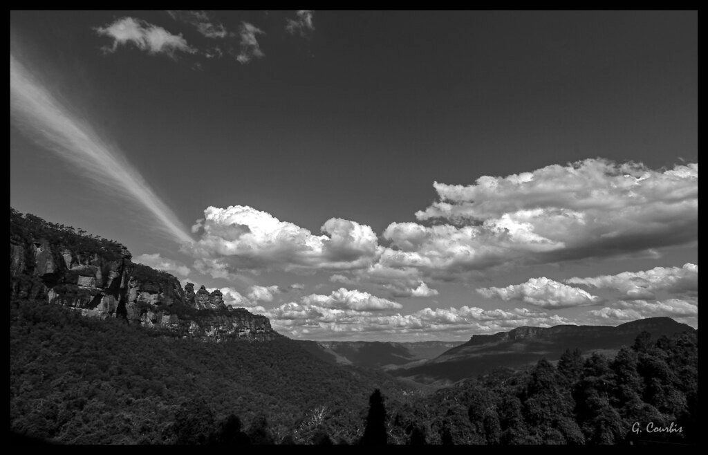
Keep an eye out for eastern water dragons near the creek and nocturnal locals like sugar gliders, possums, and bandicoots around camp. The trail sits atop the sandstone plateau of Kings Tableland within the Greater Blue Mountains World Heritage Area, a stronghold of eucalypt forests and classic Blue Mountains geology.
Access is typically from Tableland Road (Wentworth Falls) or the Woodford side; common parking/access points include near Bedford Creek Trail off Murphy’s Road and at the Tableland Road–Andersons Trail junction. The campground is basic with unmarked sites and shaded picnic tables. It’s remote—bring all water/food and pack out rubbish. Camping bookings are required. Signage can be minimal; carry a map/GPS. Always supervise kids at the waterhole and check depth before jumping. Conditions and access can change—check current local alerts before you go.
Access from Tableland Road (Wentworth Falls) and from the Woodford side; typical parking near Bedford Creek Trail off Murphy’s Road and at the Tableland Road–Andersons Trail intersection.
Steep descents/ascents around the creek, remote setting with minimal signage, and creek/waterhole levels that can rise after rain—be prepared and check local alerts before you go.
Place
Place
Place
Place
Challenging
Moderate
Challenging

Challenging

Parkwolf Tour Guide
